Roughets Wood
Wood, Forest in Sussex Wealden
England
Roughets Wood
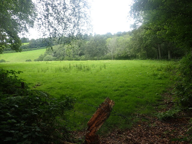
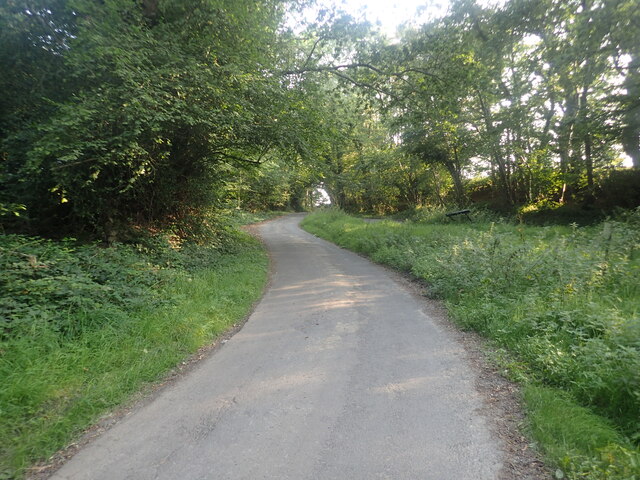
Roughets Wood is a charming woodland located in Sussex, England. This ancient forest is nestled in the heart of the South Downs National Park, offering visitors a tranquil and enchanting experience. Covering an area of approximately 100 acres, Roughets Wood is a haven for nature enthusiasts and those seeking a peaceful retreat.
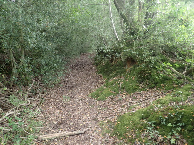
The wood is predominantly composed of native broadleaf trees, including oak, beech, and ash, which create a dense and diverse canopy. The forest floor is adorned with a rich carpet of wildflowers, ferns, and mosses, adding to the wood's natural beauty. A network of well-maintained footpaths winds through the wood, allowing visitors to explore its hidden gems.
Roughets Wood is teeming with wildlife, providing a haven for various species. Birdwatchers can spot a wide array of feathered friends, including woodpeckers, owls, and thrushes. The wood is also home to a variety of small mammals, such as badgers, foxes, and hedgehogs, which can often be spotted scurrying about.
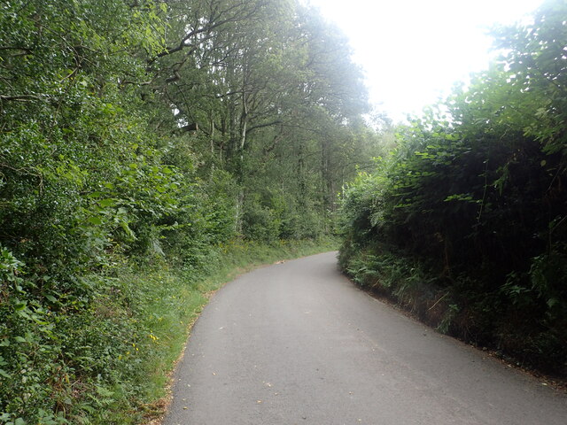
Visitors can indulge in several recreational activities within Roughets Wood. Picnic areas are scattered throughout the wood, providing a perfect spot to enjoy a leisurely meal surrounded by nature's tranquility. The wood is also popular among hikers and cyclists, with several trails offering breathtaking views of the surrounding countryside.
Roughets Wood is a true gem in the Sussex countryside, offering visitors a chance to immerse themselves in nature's wonders. Its ancient trees, diverse wildlife, and peaceful ambiance make it a must-visit destination for anyone seeking a respite from the hustle and bustle of daily life.
If you have any feedback on the listing, please let us know in the comments section below.
Roughets Wood Images
Images are sourced within 2km of 51.074058/0.20926102 or Grid Reference TQ5432. Thanks to Geograph Open Source API. All images are credited.


Roughets Wood is located at Grid Ref: TQ5432 (Lat: 51.074058, Lng: 0.20926102)
Administrative County: East Sussex
District: Wealden
Police Authority: Sussex
What 3 Words
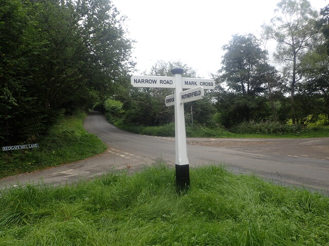
///rational.harnessed.lightens. Near Town Row, East Sussex
Nearby Locations
Related Wikis

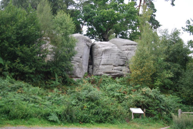
Bowles Rocks
Bowles Rocks is a sandstone crag in the county of East Sussex, on the border with Kent, approximately 8 kilometres (5 mi) south of the town of Royal Tunbridge...

Bowles Outdoor Centre
Bowles Outdoor Centre is an outdoor education/outdoor learning centre in southeast England, located between Royal Tunbridge Wells and Crowborough at Bowles...

Eridge railway station
Eridge railway station is on the Uckfield branch of the Oxted line in southern England and serves a rural district around Eridge in East Sussex. It is...

Bream Wood
Bream Wood is a 7.8-hectare (19-acre) biological Site of Special Scientific Interest north of Crowborough in East Sussex.This steep sided valley wood has...
Eridge Green
Eridge Green is a 8.4-hectare (21-acre) biological Site of Special Scientific Interest north-east of Crowborough in East Sussex. It is part of the 44 hectares...

Rotherfield and Mark Cross railway station
Rotherfield and Mark Cross (also Rotherfield) is the name of a closed station on the Eridge - Heathfield - Polegate railway (the Cuckoo Line) in East Sussex...

Eridge Park
Eridge Park () is a village and historic park located north of the parish of Rotherfield, to the north-east of Crowborough in East Sussex, England. The...
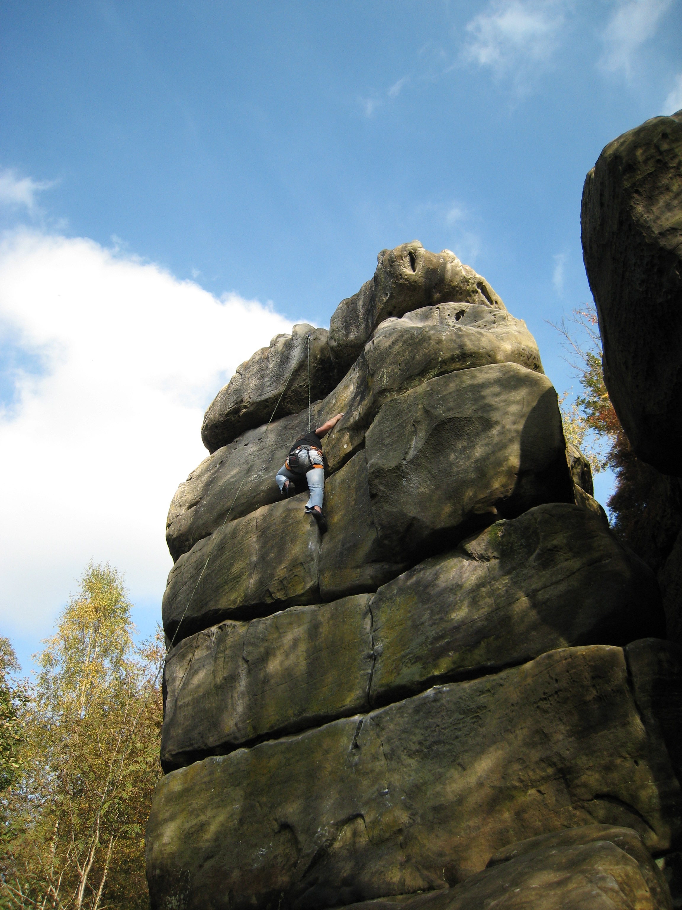
Harrison's Rocks
Harrison's Rocks is a series of sandstone crags approximately 1.5 kilometres (1 mi) south of the village of Groombridge in the county of East Sussex. The...
Nearby Amenities
Located within 500m of 51.074058,0.20926102Have you been to Roughets Wood?
Leave your review of Roughets Wood below (or comments, questions and feedback).