Farnhill

Settlement in Yorkshire Craven

England

Farnhill

Bainbridge Wharf, Kildwick
Bainbridge Wharf, Kildwick Credit: Des Blenkinsopp

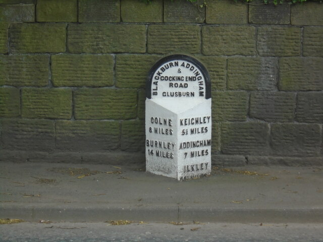
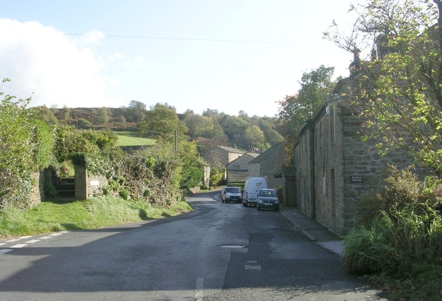
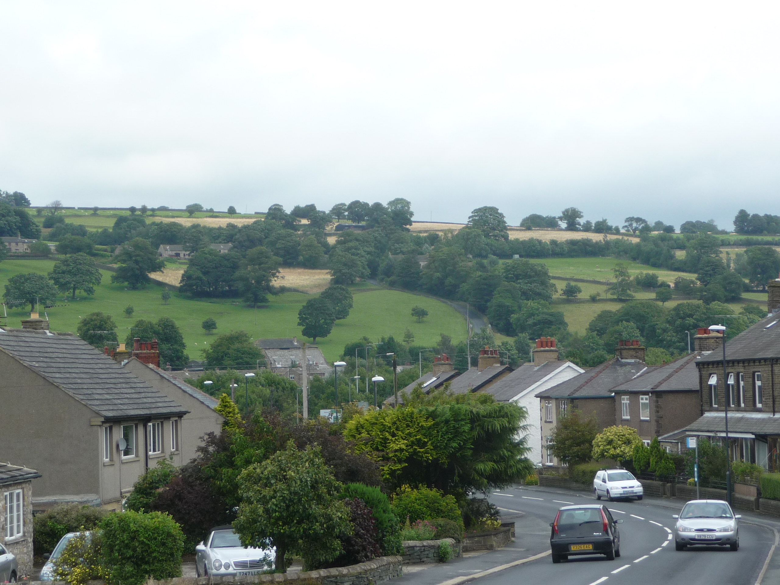
Farnhill is a small village located in the Craven district of North Yorkshire, England. Situated on the southern edge of the Yorkshire Dales National Park, it is nestled in a picturesque setting with rolling green hills and charming countryside views. The village lies approximately 4 miles north of Skipton, a bustling market town known as the "Gateway to the Dales."

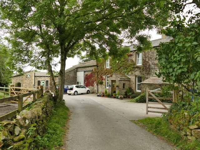
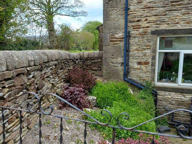
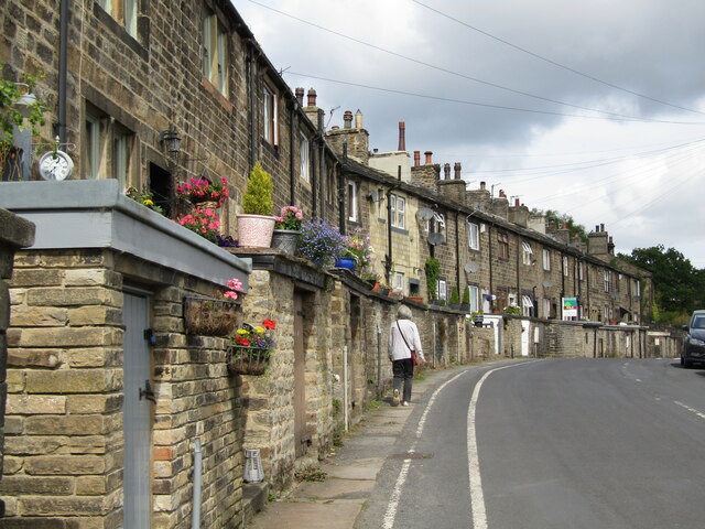
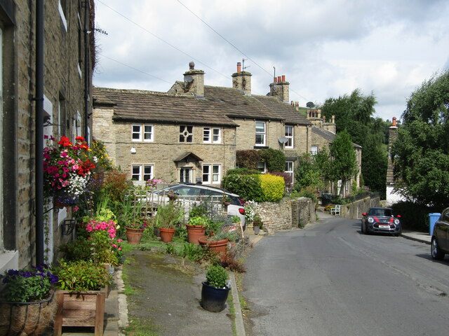
Farnhill has a rich history dating back to the medieval period, and still retains much of its traditional character. It is home to a number of well-preserved stone houses and cottages, some of which date back several centuries. The village also features a beautiful church, St. Oswald's, which originates from the 12th century and serves as a focal point for the community.

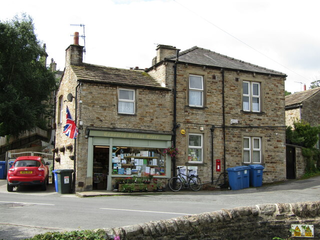
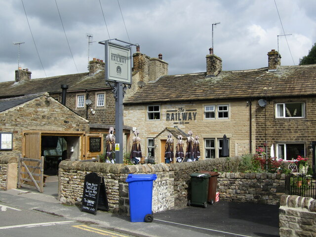
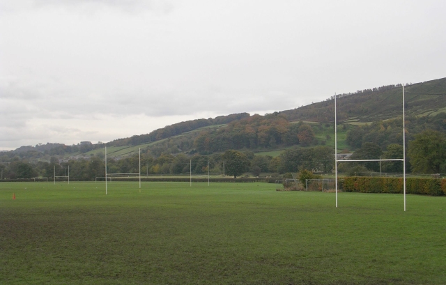
Despite its small size, Farnhill offers a range of amenities for its residents. These include a primary school, a village hall, and a pub, which serves as a popular meeting place for locals and visitors alike. The village is well-connected to the wider region, with good transport links to nearby towns and cities.

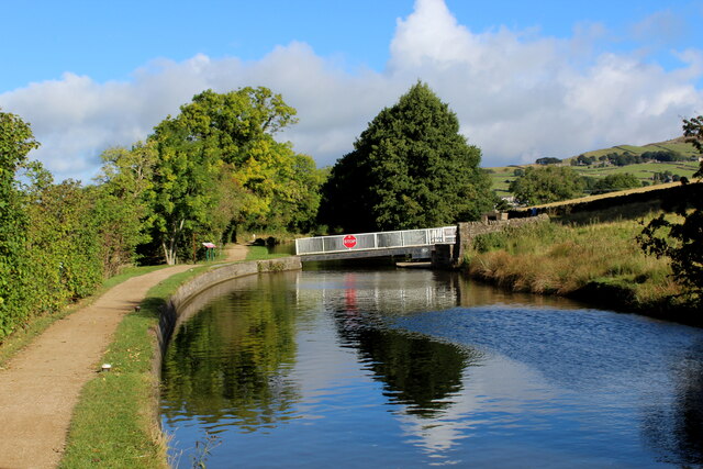
Farnhill is a popular destination for outdoor enthusiasts, thanks to its proximity to the stunning Yorkshire Dales. The village is surrounded by numerous walking and cycling routes, offering the opportunity to explore the breathtaking landscapes and enjoy the tranquility of the countryside.

Overall, Farnhill is a quaint and idyllic village that offers a peaceful retreat in the heart of Yorkshire's stunning natural beauty.

If you have any feedback on the listing, please let us know in the comments section below.
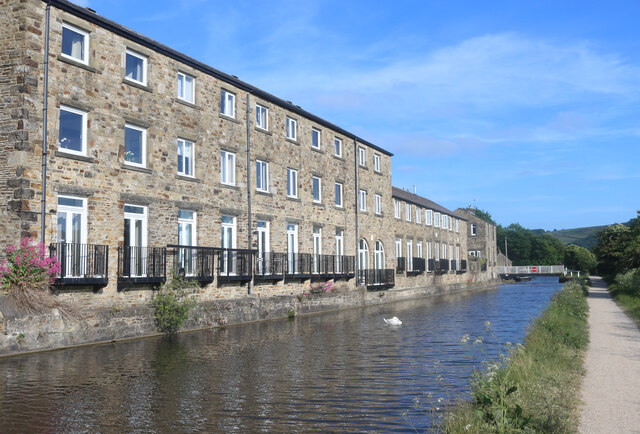
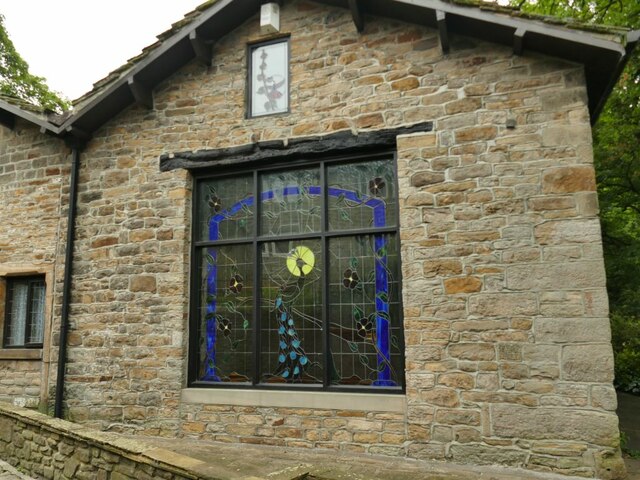
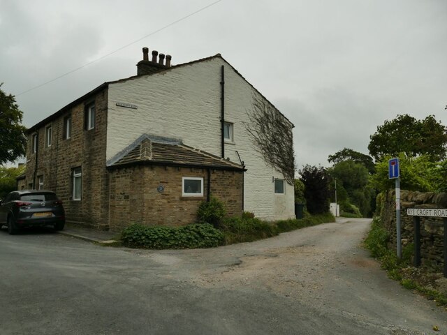
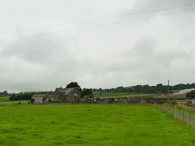
Farnhill Images

Images are sourced within 2km of 53.912006/-1.98896 or Grid Reference SE0046. Thanks to Geograph Open Source API. All images are credited.

Bainbridge Wharf, Kildwick
Peacock window at Ryecroft This is not the main, grade II listed farmhouse (which I didn't photograph as there were children outside) but a building across the lane from it.
Peacock window at Ryecroft
This is not the main, grade II listed farmhouse (which I didn't photograph as there were children outside) but a building across the lane from it.
The start of Ryecroft Road The junction with Green Lane; the group of houses to the left is called Glusburn Green.
The start of Ryecroft Road
The junction with Green Lane; the group of houses to the left is called Glusburn Green.
Buckett Farm An unusually named farm near Glusburn.
Buckett Farm
An unusually named farm near Glusburn.
Binns Lane Farm
Binns Lane Farm
View from Binns Lane Looking across the valley to the ridge with two monuments either end, Lund's Tower or the 'pepperpot' at left <a href="https://www.geograph.org.uk/photo/1747397">SD9943 : Lund's Tower</a>, and Wainman's Pinnacle or the 'saltpot' at right <a href="https://www.geograph.org.uk/photo/4932502">SD9842 : Wainman's Pinnacle near Cowling</a>.
View from Binns Lane
Looking across the valley to the ridge with two monuments either end, Lund's Tower or the 'pepperpot' at left SD9943 : Lund's Tower, and Wainman's Pinnacle or the 'saltpot' at right SD9842 : Wainman's Pinnacle near Cowling.
Mown field at Green House Farm
Hamblethorpe Bridge Revisited Approaching the swing bridge along the Leeds/Liverpool Canal towpath. The Polish Airmen's Memorial is on the opposite side of the waterway, near the bridge.
Hamblethorpe Bridge Revisited
Approaching the swing bridge along the Leeds/Liverpool Canal towpath. The Polish Airmen's Memorial is on the opposite side of the waterway, near the bridge.
Old milestone This section of the road from Addingham to Blackburn (in Lancashire), is now in North Yorkshire but was, when these milestones were set up in 1893/94 part of the extensive West Riding.  The milestone is on the south side of Colne Road in Glusburn.   Over the years the pavement has been built up, hiding the mileage to Ilkley which is 10¼ miles.  It is painted occasionally.
Old milestone
This section of the road from Addingham to Blackburn (in Lancashire), is now in North Yorkshire but was, when these milestones were set up in 1893/94 part of the extensive West Riding. The milestone is on the south side of Colne Road in Glusburn. Over the years the pavement has been built up, hiding the mileage to Ilkley which is 10¼ miles. It is painted occasionally.
Lothersdale, Spring Well Farm The benchmark is cut into a left cornerstone of the farmhouse.
Lothersdale, Spring Well Farm
The benchmark is cut into a left cornerstone of the farmhouse.
Lothersdale, Spring Well Farm There is a benchmark cut into a left cornerstone of the farmhouse.
Lothersdale, Spring Well Farm
There is a benchmark cut into a left cornerstone of the farmhouse.
Cononley - Aire View Terraced housing built for loom workers on Crosshills Road in this old cotton / wool mill village which also had lead mining. Roadside brick sheds probably once held coal but today contain bins which periodically line the road.
<span class="nowrap"><a title="www.cononleypc.org.uk" rel="nofollow ugc noopener" href="http://www.cononleypc.org.uk">Link</a><img style="margin-left:2px;" alt="External link" title="External link - shift click to open in new window" src="https://s1.geograph.org.uk/img/external.png" width="10" height="10"/></span>
Cononley - Aire View
Terraced housing built for loom workers on Crosshills Road in this old cotton / wool mill village which also had lead mining. Roadside brick sheds probably once held coal but today contain bins which periodically line the road. LinkExternal link
Cononley - St John's Cross Picturesque corner with old stone houses on Crosshills Road in this old mill / mining village.
<span class="nowrap"><a title="www.cononleypc.org.uk" rel="nofollow ugc noopener" href="http://www.cononleypc.org.uk">Link</a><img style="margin-left:2px;" alt="External link" title="External link - shift click to open in new window" src="https://s1.geograph.org.uk/img/external.png" width="10" height="10"/></span>
Cononley - St John's Cross
Picturesque corner with old stone houses on Crosshills Road in this old mill / mining village. LinkExternal link
Cononley - Village Store A village hub at the corner of Main Street and Crosshills Road.
<span class="nowrap"><a title="www.cononleypc.org.uk" rel="nofollow ugc noopener" href="http://www.cononleypc.org.uk">Link</a><img style="margin-left:2px;" alt="External link" title="External link - shift click to open in new window" src="https://s1.geograph.org.uk/img/external.png" width="10" height="10"/></span>
Cononley - Village Store
A village hub at the corner of Main Street and Crosshills Road. LinkExternal link
Cononley - The Railway Inn Free house on Cononley's Main Street, practically opposite the railway station.
<span class="nowrap"><a title="www.cononleypc.org.uk" rel="nofollow ugc noopener" href="http://www.cononleypc.org.uk">Link</a><img style="margin-left:2px;" alt="External link" title="External link - shift click to open in new window" src="https://s1.geograph.org.uk/img/external.png" width="10" height="10"/></span>
Cononley - The Railway Inn
Free house on Cononley's Main Street, practically opposite the railway station. LinkExternal link
Cononley - Horace Mills This historic mill building (aka Station Mill) with a distinctive chimney has now been converted into apartments. It lies adjacent to Cononley Station, with rail connections to Bradford, Leeds and Skipton.
<span class="nowrap"><a title="www.cononleypc.org.uk" rel="nofollow ugc noopener" href="http://www.cononleypc.org.uk">Link</a><img style="margin-left:2px;" alt="External link" title="External link - shift click to open in new window" src="https://s1.geograph.org.uk/img/external.png" width="10" height="10"/></span>
Cononley - Horace Mills
This historic mill building (aka Station Mill) with a distinctive chimney has now been converted into apartments. It lies adjacent to Cononley Station, with rail connections to Bradford, Leeds and Skipton. LinkExternal link
Hamblethorp - L'pool 101 Miles Milepost on the Leeds and Liverpool Canal by the towpath just north of Hamblethorp Swing Bridge.
<span class="nowrap"><a title="www.leedsandlivercanalsociety.co.uk" rel="nofollow ugc noopener" href="http://www.leedsandlivercanalsociety.co.uk">Link</a><img style="margin-left:2px;" alt="External link" title="External link - shift click to open in new window" src="https://s1.geograph.org.uk/img/external.png" width="10" height="10"/></span>
Hamblethorp - L'pool 101 Miles
Milepost on the Leeds and Liverpool Canal by the towpath just north of Hamblethorp Swing Bridge. LinkExternal link
Hamblethorp Swing Bridge This bridge spans the Leeds and Liverpool Canal, leading immediately to a Polish War Memorial.
<span class="nowrap"><a title="www.leedsandlivercanalsociety.co.uk" rel="nofollow ugc noopener" href="http://www.leedsandlivercanalsociety.co.uk">Link</a><img style="margin-left:2px;" alt="External link" title="External link - shift click to open in new window" src="https://s1.geograph.org.uk/img/external.png" width="10" height="10"/></span>
Hamblethorp Swing Bridge
This bridge spans the Leeds and Liverpool Canal, leading immediately to a Polish War Memorial. LinkExternal link
Show me another place!

Farnhill is located at Grid Ref: SE0046 (Lat: 53.912006, Lng: -1.98896)

Division: West Riding

Administrative County: North Yorkshire

District: Craven

Police Authority: North Yorkshire

What 3 Words

///portfolio.crawler.absent. Near Cross Hills, North Yorkshire

Related Wikis

Nearby Amenities

Located within 500m of 53.912006,-1.98896
Created By: Merkaartor 0.12
Lat/Long: 53.9113169/-1.99288
Farnhill
Is In Country: UK
Is In Historical County: Yorkshire
Place: hamlet
Lat/Long: 53.9109168/-1.98675
Created By: Merkaartor 0.12
Lat/Long: 53.9123488/-1.9958638
Bus Stop
Kerb: none
Naptan AtcoCode: 3200YNF10224
Naptan NaptanCode: 32010224
Shelter: no
Source: photograph
Timetable: yes
Lat/Long: 53.9108242/-1.9912598
Source: NPE
Lat/Long: 53.9092579/-1.9835755
Bus Stop
Kerb: raised
Shelter: yes
Lat/Long: 53.9094646/-1.9877466
Barrier: kissing_gate
Lat/Long: 53.9139441/-1.9933314
Turning Circle
Lat/Long: 53.9113623/-1.9854302
Bus Stop
Naptan AtcoCode: 3200YNF10233
Naptan NaptanCode: 32010233
Timetable: yes
Lat/Long: 53.9108504/-1.9916316
Turning Circle
Lat/Long: 53.9130792/-1.984342
Leisure: playground
Lat/Long: 53.9102548/-1.9871901
Telephone
Booth: KX100
Covered: booth
Lat/Long: 53.9101711/-1.9872196
Bus Stop
Bus: yes
Naptan AtcoCode: 3200YNF10232
Naptan NaptanCode: 32010232
Public Transport: platform
Lat/Long: 53.9090049/-1.9861597
Bus Stop
Bus: yes
Public Transport: platform
Lat/Long: 53.9090468/-1.9859578
Fountain
Lat/Long: 53.9103791/-1.9906677
Barrier: stile
Lat/Long: 53.9119279/-1.984575
Barrier: stile
Bicycle: no
Foot: yes
Horse: no
Motor Vehicle: no
Lat/Long: 53.9096726/-1.9844693
Barrier: stile
Lat/Long: 53.9113512/-1.9846363
Generator Method: photovoltaic
Generator Output Electricity: yes
Generator Source: solar
Generator Type: solar_photovoltaic_panel
Location: roof
Power: generator
Lat/Long: 53.9112022/-1.9852067
Generator Method: photovoltaic
Generator Output Electricity: yes
Generator Source: solar
Generator Type: solar_photovoltaic_panel
Location: roof
Power: generator
Lat/Long: 53.9109778/-1.9860114
Power: pole
Lat/Long: 53.9098969/-1.9884422
Power: pole
Lat/Long: 53.9093771/-1.9890913
Power: pole
Lat/Long: 53.9086439/-1.9886139
Power: pole
Lat/Long: 53.9076303/-1.9893247
Power: pole
Lat/Long: 53.9079226/-1.9881392
Power: pole
Lat/Long: 53.9082023/-1.9870408
Power: pole
Lat/Long: 53.9077757/-1.9871105
Power: pole
Lat/Long: 53.9077441/-1.9882236
Power: pole
Lat/Long: 53.9076801/-1.9894373
Power: pole
Lat/Long: 53.9076248/-1.9906631
Defibrillator
Defibrillator Location: outside Kildwick & Farnhill Institute
Emergency: defibrillator
Indoor: no
Lat/Long: 53.9116015/-1.9885051
Bench
Lat/Long: 53.9137697/-1.9932486
Historic: milestone
Lat/Long: 53.9095578/-1.9848382
Historic: milestone
Lat/Long: 53.9135093/-1.992239
Historic: memorial
Memorial: war_memorial
Lat/Long: 53.9087828/-1.9845765
Milestone
Lat/Long: 53.9094585/-1.9832534
Bench
Lat/Long: 53.9095098/-1.9843612
The data included in this document is from www.openstreetmap.org. The data is made available under ODbL.

Have you been to Farnhill?

Leave your review of Farnhill below (or comments, questions and feedback).