Farnham Royal

Settlement in Buckinghamshire

England

Farnham Royal

Memorial of Thomas Gray The memorial of Thomas Gray - erected in 1788. <span class="nowrap"><a title="http://www.poetsgraves.co.uk/gray.htm" rel="nofollow ugc noopener" href="http://www.poetsgraves.co.uk/gray.htm">Link</a><img style="margin-left:2px;" alt="External link" title="External link - shift click to open in new window" src="https://s1.geograph.org.uk/img/external.png" width="10" height="10"/></span>
Memorial of Thomas Gray Credit: Jonathan Dew

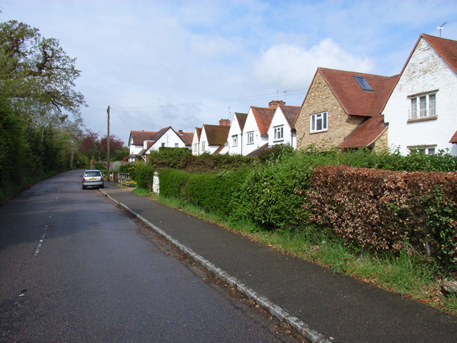
Farnham Royal is a small village located in the South Bucks district of Buckinghamshire, England. Situated approximately 3 miles northwest of Slough, it is surrounded by picturesque countryside and offers a peaceful and rural atmosphere.

The village is well-connected, with good transport links to neighboring towns and cities. The M40 motorway is easily accessible, providing convenient connections to London and Oxford. Additionally, the nearby Slough train station offers regular services to London Paddington, making it an ideal location for commuters.

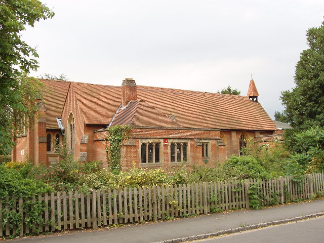
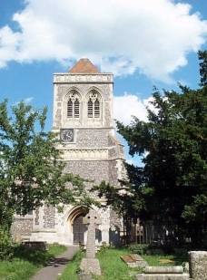
Farnham Royal boasts a rich history, with evidence of settlement dating back to the Roman era. The village is home to several historic buildings, including St. Mary's Church, a Grade II listed building that dates back to the 12th century. The church's architecture and stained glass windows are highly regarded by visitors and locals alike.

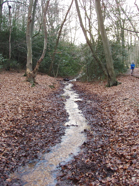
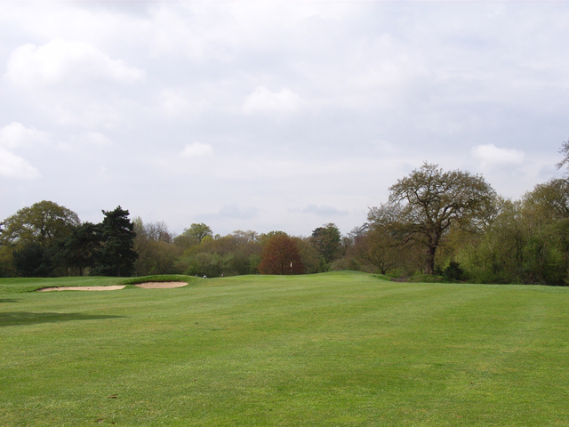
The village has a close-knit community, with a range of amenities to cater to the needs of its residents. There is a primary school, a village hall, and a post office, providing essential services to the local population. Farnham Royal is also surrounded by beautiful countryside, making it a popular destination for outdoor activities such as walking and cycling.

Overall, Farnham Royal offers a charming and idyllic setting, combining rural tranquility with convenient access to nearby towns and cities. Its rich history, community spirit, and natural beauty make it an attractive place to live or visit.

If you have any feedback on the listing, please let us know in the comments section below.

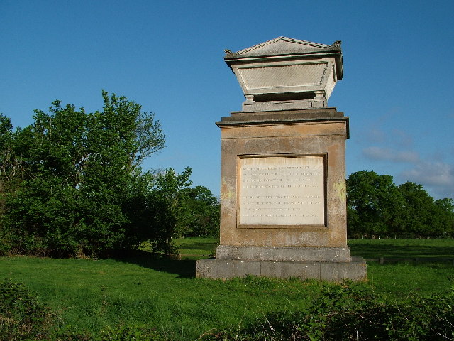
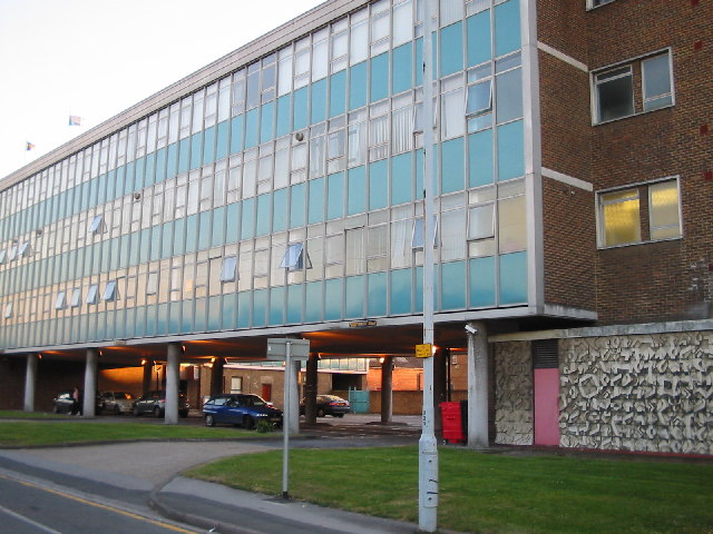
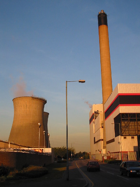
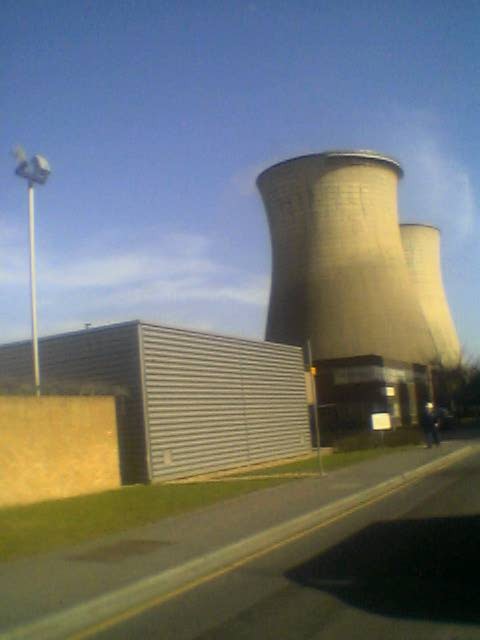
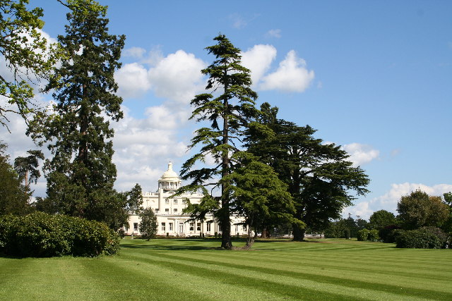
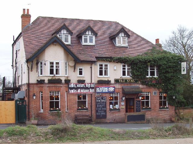
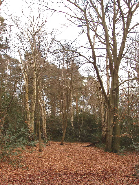
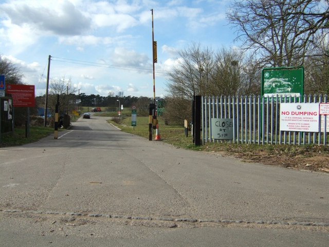
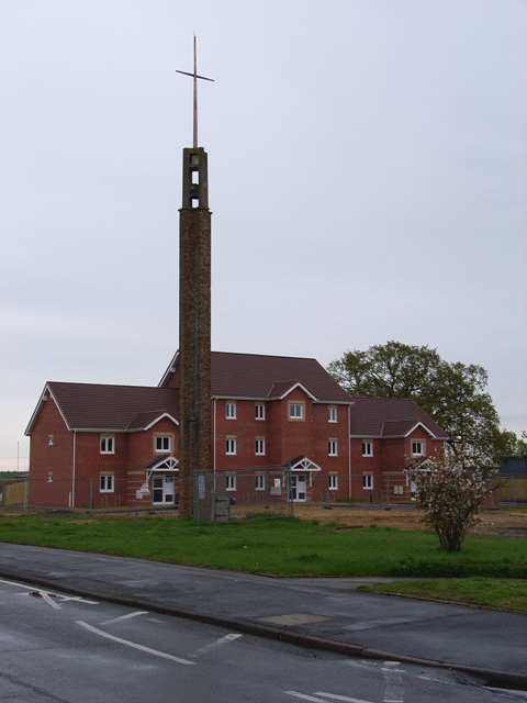
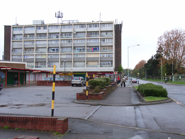
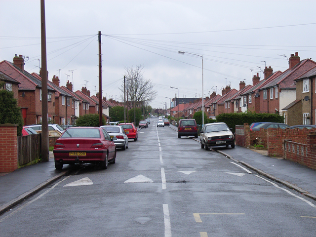
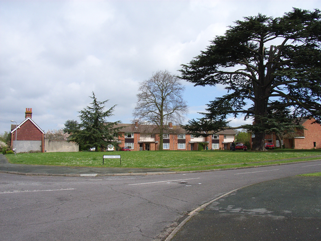
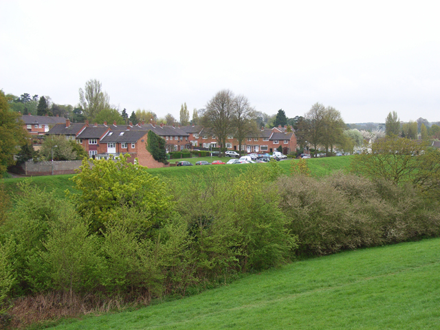
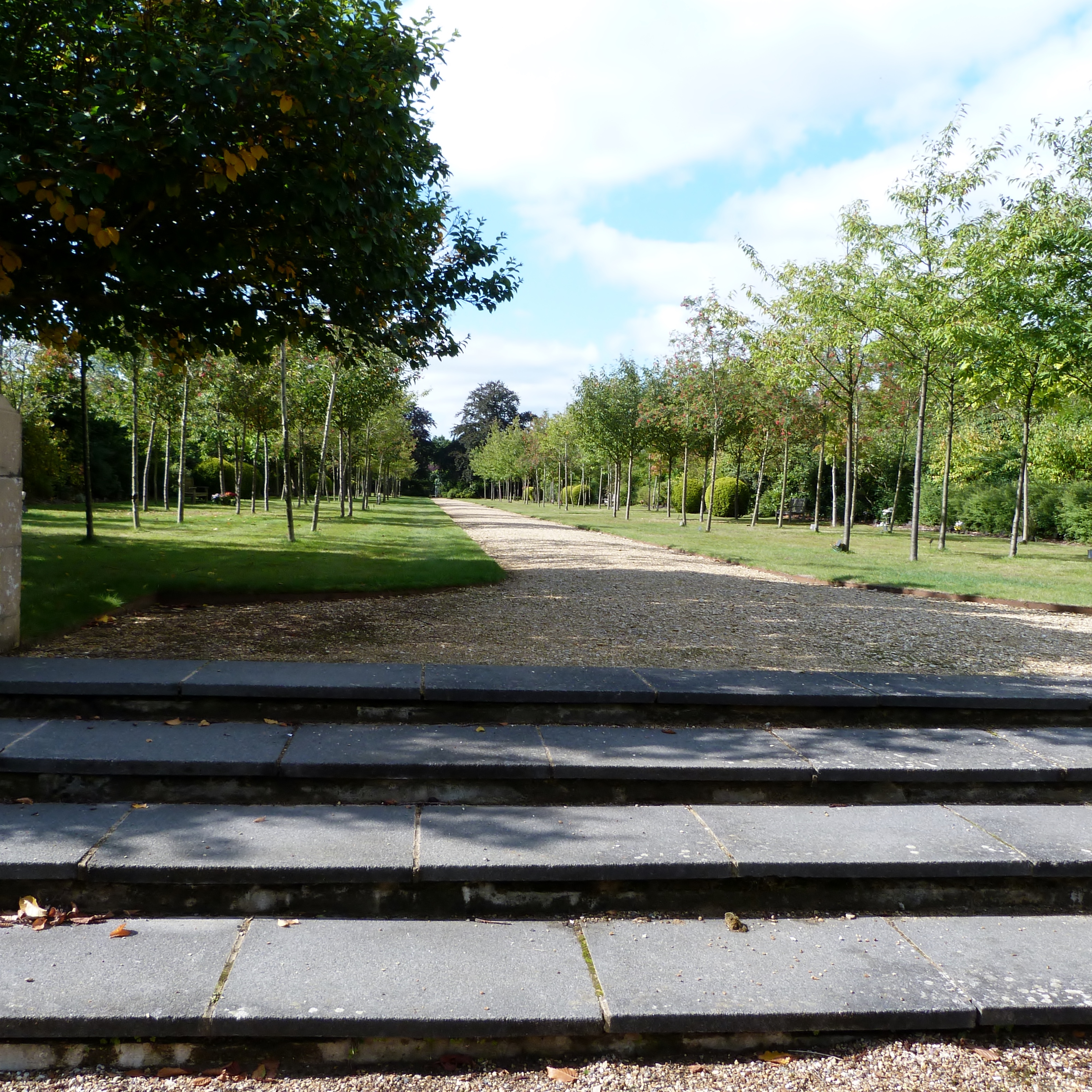
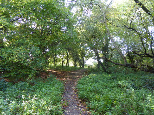
Farnham Royal Images

Images are sourced within 2km of 51.537613/-0.61699 or Grid Reference SU9682. Thanks to Geograph Open Source API. All images are credited.

Memorial of Thomas Gray The memorial of Thomas Gray - erected in 1788. <span class="nowrap"><a title="http://www.poetsgraves.co.uk/gray.htm" rel="nofollow ugc noopener" href="http://www.poetsgraves.co.uk/gray.htm">Link</a><img style="margin-left:2px;" alt="External link" title="External link - shift click to open in new window" src="https://s1.geograph.org.uk/img/external.png" width="10" height="10"/></span>
Memorial of Thomas Gray
The memorial of Thomas Gray - erected in 1788. LinkExternal link
"The Office", Slough Trading Estate This building, otherwise known as Crossbow House, 40 Liverpool Road, is situated at the heart of Slough Trading Estate (which incidentally is the largest trading estate in single ownership in Europe). This building is famous for featuring in the opening sequences and some of the filming for popular BBC comedy "The Office".
"The Office", Slough Trading Estate
This building, otherwise known as Crossbow House, 40 Liverpool Road, is situated at the heart of Slough Trading Estate (which incidentally is the largest trading estate in single ownership in Europe). This building is famous for featuring in the opening sequences and some of the filming for popular BBC comedy "The Office".
Slough Power Station These large cooling chimneys, situated in Slough Trading Estate, are visible for miles around.
Slough Power Station
These large cooling chimneys, situated in Slough Trading Estate, are visible for miles around.
Church of St John the Evangelist, Farnham Common Historically this area was in the parish of Farnham Royal, this church was built when the population here grew.
Church of St John the Evangelist, Farnham Common
Historically this area was in the parish of Farnham Royal, this church was built when the population here grew.
Slough CHP Cooling towers Slough was the first privately owned power station and an early innovator in CHP (Combined Heat and Power) supplying steam to heat factories all over the industrial estate.

It now has gas fluidized bed reactors and can use waste paper and plastic collected on the estate as a fuel.
Slough CHP Cooling towers
Slough was the first privately owned power station and an early innovator in CHP (Combined Heat and Power) supplying steam to heat factories all over the industrial estate. It now has gas fluidized bed reactors and can use waste paper and plastic collected on the estate as a fuel.
Stoke Park Club, Stoke Poges
St. Mary, Farnham Royal
Stream in Burnham Beeches View looking south-west in late afternoon. The shallow stream over gravel takes an overflow from the dam at Upper Pond, and flows into Middle Pond.
Stream in Burnham Beeches
View looking south-west in late afternoon. The shallow stream over gravel takes an overflow from the dam at Upper Pond, and flows into Middle Pond.
The Stag, Burnham Beeches - walkers welcome! This public house (marked on the OS map) is opposite a large public car park for those walking in Burnham Beeches. A sign on the pub says "Wellies, walkers, dogs and families -  all welcome here".
The Stag, Burnham Beeches - walkers welcome!
This public house (marked on the OS map) is opposite a large public car park for those walking in Burnham Beeches. A sign on the pub says "Wellies, walkers, dogs and families - all welcome here".
Burnham Beeches - birch, beech and holly Walking through the woods from "The Stag" to here, many of the trees were oaks, with some large fir trees. Here they have changed to being a mixture of birch and beech. There are holly bushes under the trees in both areas.
Burnham Beeches - birch, beech and holly
Walking through the woods from "The Stag" to here, many of the trees were oaks, with some large fir trees. Here they have changed to being a mixture of birch and beech. There are holly bushes under the trees in both areas.
The Dump
The Dump
Long Furlong Drive, Britwell The tower belongs to St George's church, which is hidden behind the new housing. That's a new development called Venus Close.
Long Furlong Drive, Britwell
The tower belongs to St George's church, which is hidden behind the new housing. That's a new development called Venus Close.
Wentworth Avenue, Britwell Shops and flats at the run-down heart of the Britwell estate.
Wentworth Avenue, Britwell
Shops and flats at the run-down heart of the Britwell estate.
Essex Avenue, Slough From the crossroads with Canterbury Avenue.
Essex Avenue, Slough
From the crossroads with Canterbury Avenue.
Rogers Lane, Stoke Poges Just west of the junction with the B416.
Rogers Lane, Stoke Poges
Just west of the junction with the B416.
Farnham Park Golf Club The southwest corner of the golf course.
Farnham Park Golf Club
The southwest corner of the golf course.
Devonshire Green, Farnham Royal At the junction with Blackpond Lane.
Devonshire Green, Farnham Royal
At the junction with Blackpond Lane.
Lynch Hill Lane, Britwell A sliver of countryside slices through the western end of the Britwell estate.
Lynch Hill Lane, Britwell
A sliver of countryside slices through the western end of the Britwell estate.
Show me another place!

Farnham Royal is located at Grid Ref: SU9682 (Lat: 51.537613, Lng: -0.61699)

Unitary Authority: Buckinghamshire

Police Authority: Thames Valley

What 3 Words

///music.hooked.fumes. Near Farnham Royal, Buckinghamshire

Nearby Locations

Manor Park Farnham Royal

Related Wikis

Nearby Amenities

Located within 500m of 51.537613,-0.61699
Traffic Calming: island
Lat/Long: 51.5378297/-0.6170226
Traffic Calming: island
Lat/Long: 51.5341873/-0.6176305
Turning Circle
Lat/Long: 51.5407511/-0.6188098
Turning Circle
Lat/Long: 51.538348/-0.6182536
Crossing
Crossing: marked
Crossing Markings: yes
Lat/Long: 51.5366058/-0.6232512
Crossing
Crossing: marked
Crossing Markings: yes
Lat/Long: 51.5379714/-0.615458
Mini Roundabout
Direction: clockwise
Lat/Long: 51.537709/-0.6170196
Mini Roundabout
Direction: clockwise
Lat/Long: 51.5373097/-0.6173711
Traffic Calming: island
Lat/Long: 51.5373534/-0.6175396
Farnham Royal
Created By: Potlatch 0.10b
Place: village
Lat/Long: 51.5374195/-0.6173339
Turning Circle
Lat/Long: 51.5365736/-0.611765
Historic: memorial
Memorial: war_memorial
Lat/Long: 51.5362892/-0.617512
Golf: pin
Lat/Long: 51.5351166/-0.6117101
Barrier: yes
Lat/Long: 51.535673/-0.6145521
Bus Stop
St Anthony's RC Church
Bus: yes
Naptan AtcoCode: 03700374
Naptan NaptanCode: slgawmw
Public Transport: platform
Shelter: no
Lat/Long: 51.5344438/-0.6176661
Bus Stop
St Anthony's RC Church
Bus: yes
Public Transport: platform
Shelter: no
Lat/Long: 51.5344691/-0.6178596
Bus Stop
The Farnham Pump
Bus: yes
Naptan AtcoCode: 040000001268
Naptan NaptanCode: bucdajgt
Public Transport: platform
Shelter: no
Lat/Long: 51.5385266/-0.6169995
Bus Stop
The Farnham Pump
Bench: yes
Bus: yes
Naptan AtcoCode: 040000001267
Naptan NaptanCode: bucdajgp
Public Transport: platform
Shelter: yes
Lat/Long: 51.5384494/-0.6168313
Bus Stop
Fairfield Lane
Bus: yes
Public Transport: platform
Shelter: no
Lat/Long: 51.5412321/-0.6162918
Traffic Calming: table
Lat/Long: 51.5360972/-0.6225738
Traffic Calming: table
Lat/Long: 51.5363838/-0.6225571
Direction: 175
Generator Method: photovoltaic
Generator Output Electricity: yes
Generator Solar Modules: 9
Generator Source: solar
Generator Type: solar_photovoltaic_panel
Location: roof
Power: generator
Lat/Long: 51.5399458/-0.6169553
Direction: 90
Generator Method: photovoltaic
Generator Output Electricity: yes
Generator Solar Modules: 18
Generator Source: solar
Generator Type: solar_photovoltaic_panel
Location: roof
Power: generator
Lat/Long: 51.539734/-0.6177788
Direction: 90
Generator Method: photovoltaic
Generator Output Electricity: yes
Generator Solar Modules: 18
Generator Source: solar
Generator Type: solar_photovoltaic_panel
Location: roof
Power: generator
Lat/Long: 51.5400362/-0.617834
Traffic Calming: island
Lat/Long: 51.5376273/-0.6170672
Traffic Calming: chicane
Lat/Long: 51.5361518/-0.6231891
Give Way
Direction: backward
Lat/Long: 51.5363331/-0.6231756
Turning Loop
Lat/Long: 51.5345685/-0.6129619
Turning Loop
Lat/Long: 51.5341572/-0.6126793
Crossing
Lat/Long: 51.5336088/-0.6170613
The Old Pump
Tourism: attraction
Lat/Long: 51.5372574/-0.6178167
Colour: yellow
Marker: post
Material: plastic
Utility: gas
Lat/Long: 51.5420724/-0.6160727
Post Box
Operator: Royal Mail
Operator Wikidata: Q638098
Lat/Long: 51.5374477/-0.6179902
Atm
Opening Hours: Inside Farnham Pump Store
Lat/Long: 51.5375701/-0.6166589
Bus Stop
Bus: yes
Note: 53 bus is unmapped?
Public Transport: platform
Lat/Long: 51.5377601/-0.6163552
Defibrillator
Defibrillator Location: Outside on wall in car park - Left hand side of Village Hall, facing from the road
Emergency: defibrillator
Lat/Long: 51.5375856/-0.6193231
Crossing
Lat/Long: 51.5375814/-0.6181226
The data included in this document is from www.openstreetmap.org. The data is made available under ODbL.

Have you been to Farnham Royal?

Leave your review of Farnham Royal below (or comments, questions and feedback).