Farnham Park
Settlement in Buckinghamshire
England
Farnham Park
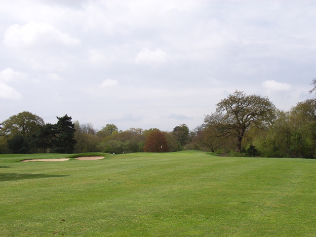
Farnham Park is a historic and picturesque public park located in Buckinghamshire, England. Situated on the outskirts of the village of Farnham Royal, the park covers an area of approximately 320 acres and is a popular destination for locals and visitors alike.
The park's history dates back to the 12th century when it was established as a deer park by the Bishops of Winchester. Today, it is owned and managed by South Bucks District Council, who have worked hard to maintain its natural beauty and historical significance.
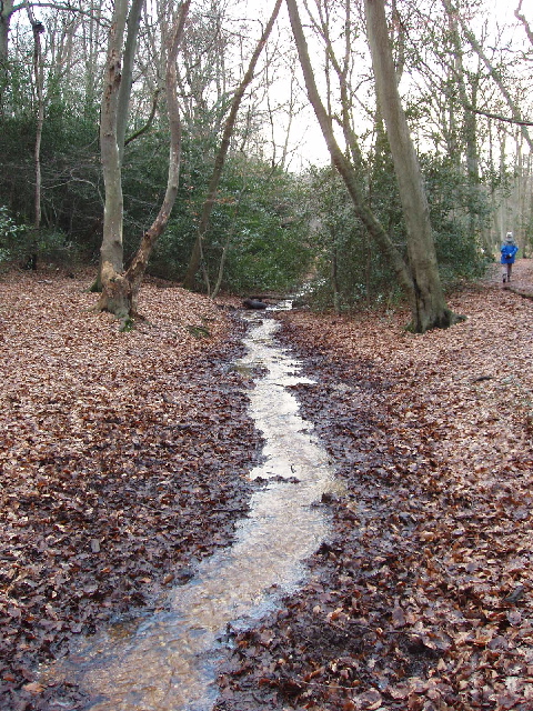
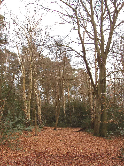
Farnham Park boasts a diverse range of landscapes, including ancient woodland, open grasslands, and a variety of wildlife habitats. It is home to a rich array of flora and fauna, making it a haven for nature enthusiasts and wildlife lovers. The park also features a number of well-maintained walking trails and bridleways, offering visitors the opportunity to explore and enjoy its natural splendor.
In addition to its natural beauty, Farnham Park is also renowned for its historical sites. The park is home to Farnham Royal Cricket Club, which has been in existence since 1883 and hosts regular matches during the summer months. There are also remnants of Farnham Royal Palace, a former royal residence that dates back to the 12th century. Visitors can explore the ruins and soak in the rich history of the area.
Overall, Farnham Park is a true gem in Buckinghamshire, offering visitors a perfect blend of natural beauty, historical significance, and recreational opportunities.
If you have any feedback on the listing, please let us know in the comments section below.
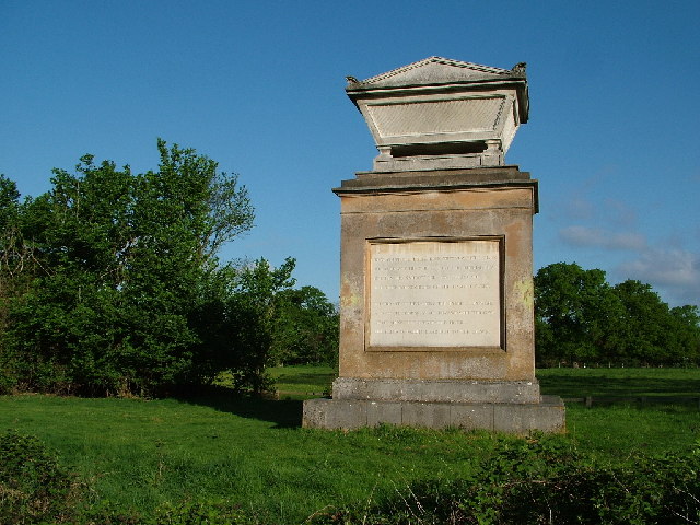
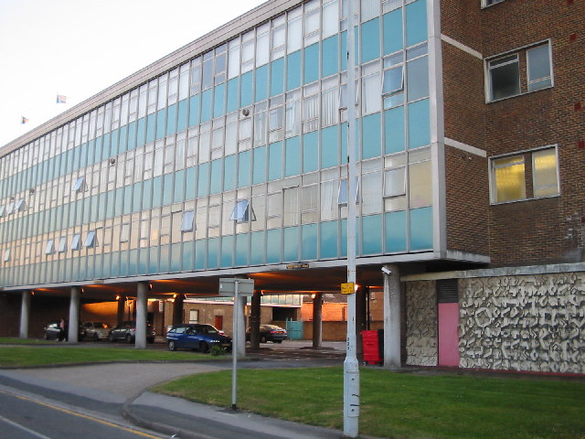
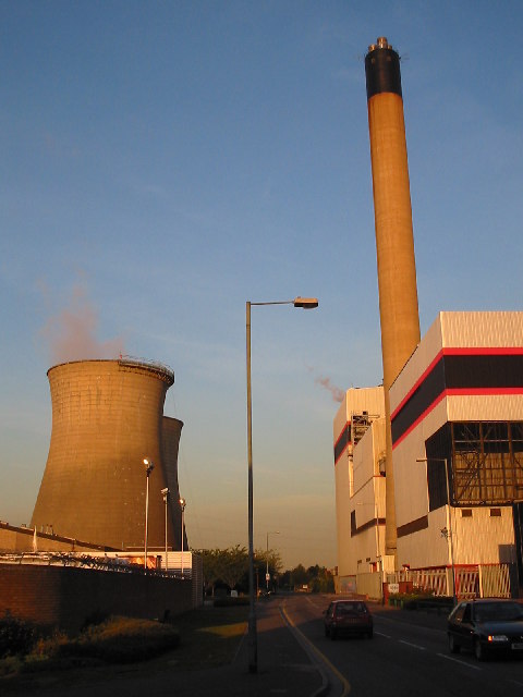
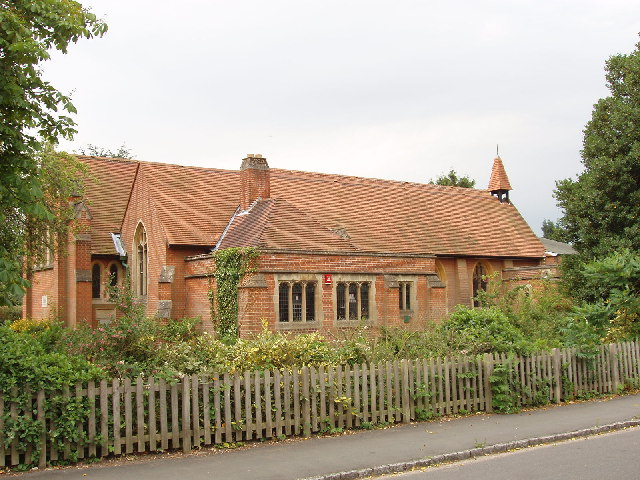
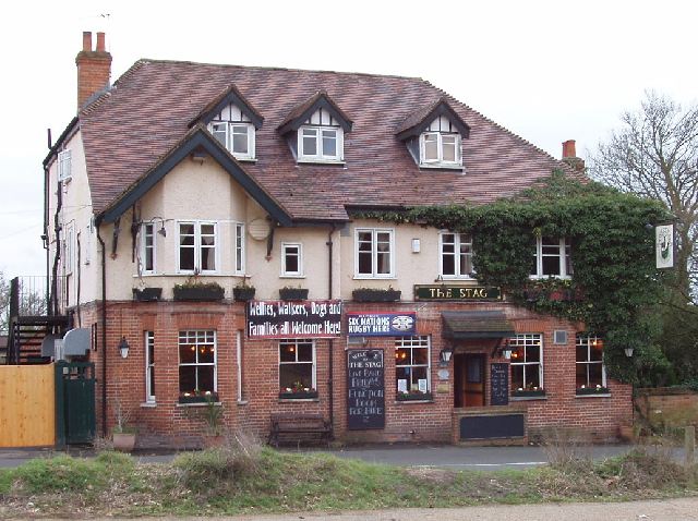
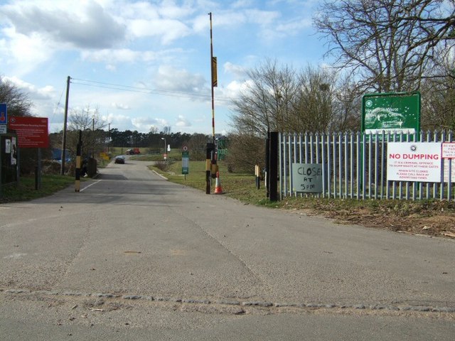
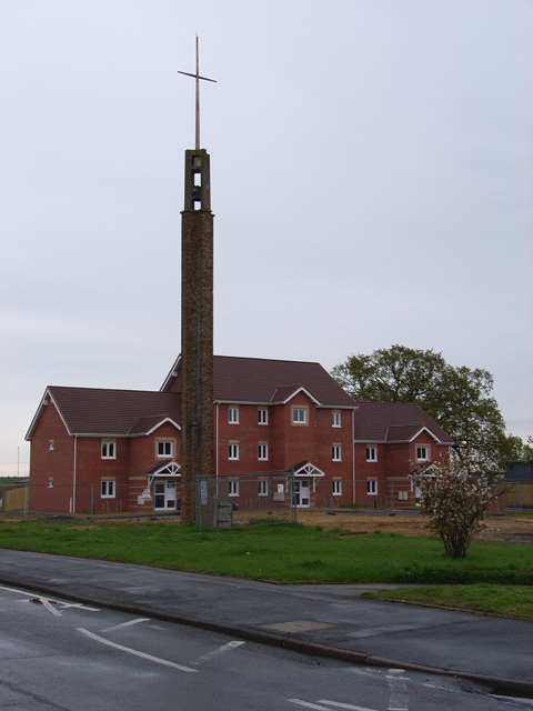
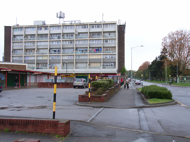
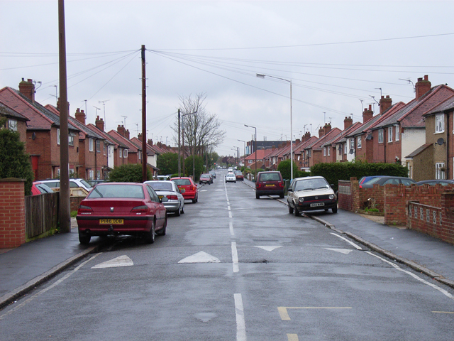
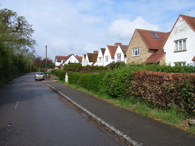
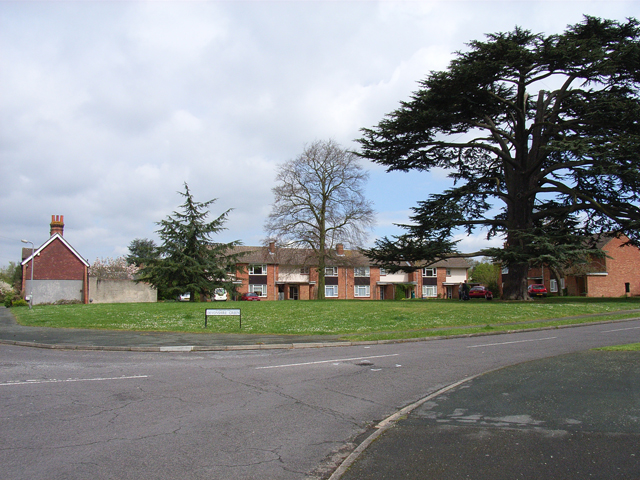
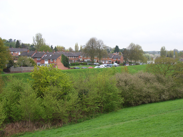
Farnham Park Images
Images are sourced within 2km of 51.537749/-0.6172286 or Grid Reference SU9683. Thanks to Geograph Open Source API. All images are credited.
Farnham Park is located at Grid Ref: SU9683 (Lat: 51.537749, Lng: -0.6172286)
Unitary Authority: Buckinghamshire
Police Authority: Thames Valley
What 3 Words
///ranges.robots.inches. Near Farnham Royal, Buckinghamshire
Nearby Locations
Related Wikis

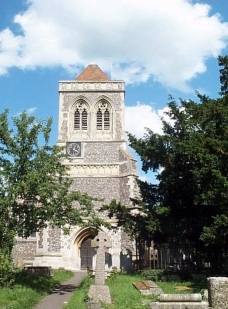
Farnham Royal
Farnham Royal is a village and civil parish within Buckinghamshire, England. It is in the south of the county, immediately north of Slough (with which...

Beechwood School
Beechwood School is a coeducational secondary school and sixth form located in the Britwell area of Slough, Berkshire, England. The school was established...

Britwell
Britwell is a residential housing estate and civil parish in the north west of Slough, Berkshire, South East England. It is about 23 miles (37 km) west...

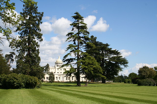
Stoke Park, Buckinghamshire
Stoke Park is a private sporting and leisure estate in Stoke Poges, Buckinghamshire. The mansion building (designed by James Wyatt in 1788) is located...
Nearby Amenities
Located within 500m of 51.537749,-0.6172286Have you been to Farnham Park?
Leave your review of Farnham Park below (or comments, questions and feedback).