Round Covert
Wood, Forest in Cambridgeshire East Cambridgeshire
England
Round Covert

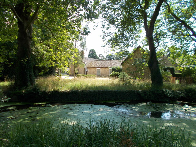
Round Covert is a small woodland located in Cambridgeshire, England. Covering an area of approximately 50 acres, it is nestled in the heart of the county, near the village of Covert. The woodland is a part of the larger Cambridgeshire woodlands and forests, which are known for their natural beauty and ecological significance.
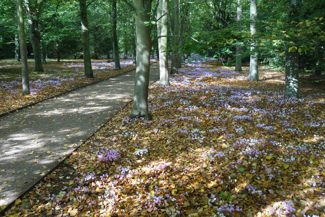
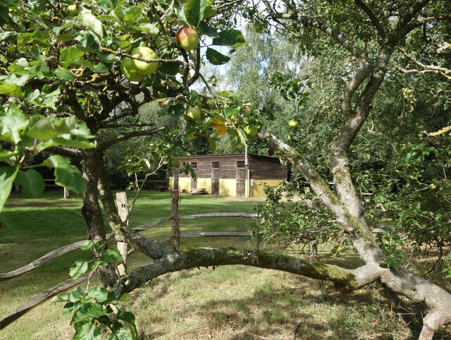
Round Covert boasts a diverse range of tree species, including oak, beech, birch, and pine. The trees form a dense canopy, creating a shaded and tranquil environment. The forest floor is covered in a lush carpet of ferns, wildflowers, and moss, giving it a picturesque appearance. This rich undergrowth provides a habitat for a variety of wildlife, including squirrels, badgers, and various bird species.
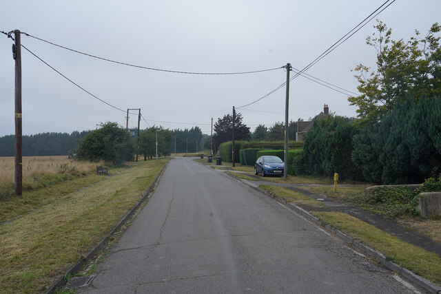
The woodland is crisscrossed with a network of winding footpaths, allowing visitors to explore its enchanting beauty. These paths lead to open clearings, where visitors can find picnic spots or simply sit and soak in the peaceful atmosphere. The area is popular with nature enthusiasts, walkers, and families looking for a serene escape from the bustle of everyday life.
Round Covert is managed by the local authorities, who ensure its preservation and conservation. The woodland is protected under various environmental laws, and visitors are encouraged to respect the natural habitat and wildlife. The management team also organizes educational activities and guided tours to raise awareness about the importance of forests and woodlands in sustaining local ecosystems.
Overall, Round Covert is a hidden gem in Cambridgeshire, offering a serene and enchanting retreat for nature lovers and those seeking solace in the midst of nature's beauty.
If you have any feedback on the listing, please let us know in the comments section below.
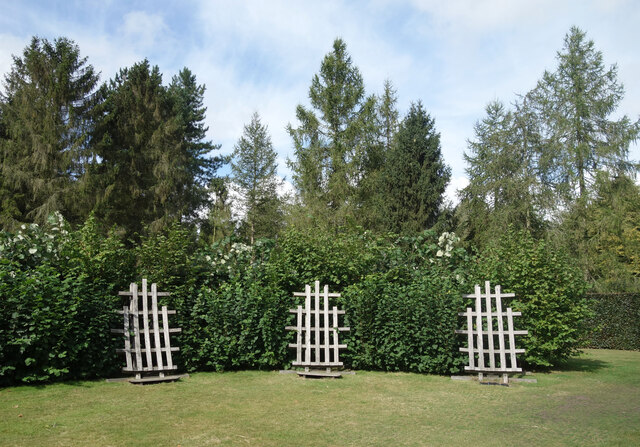
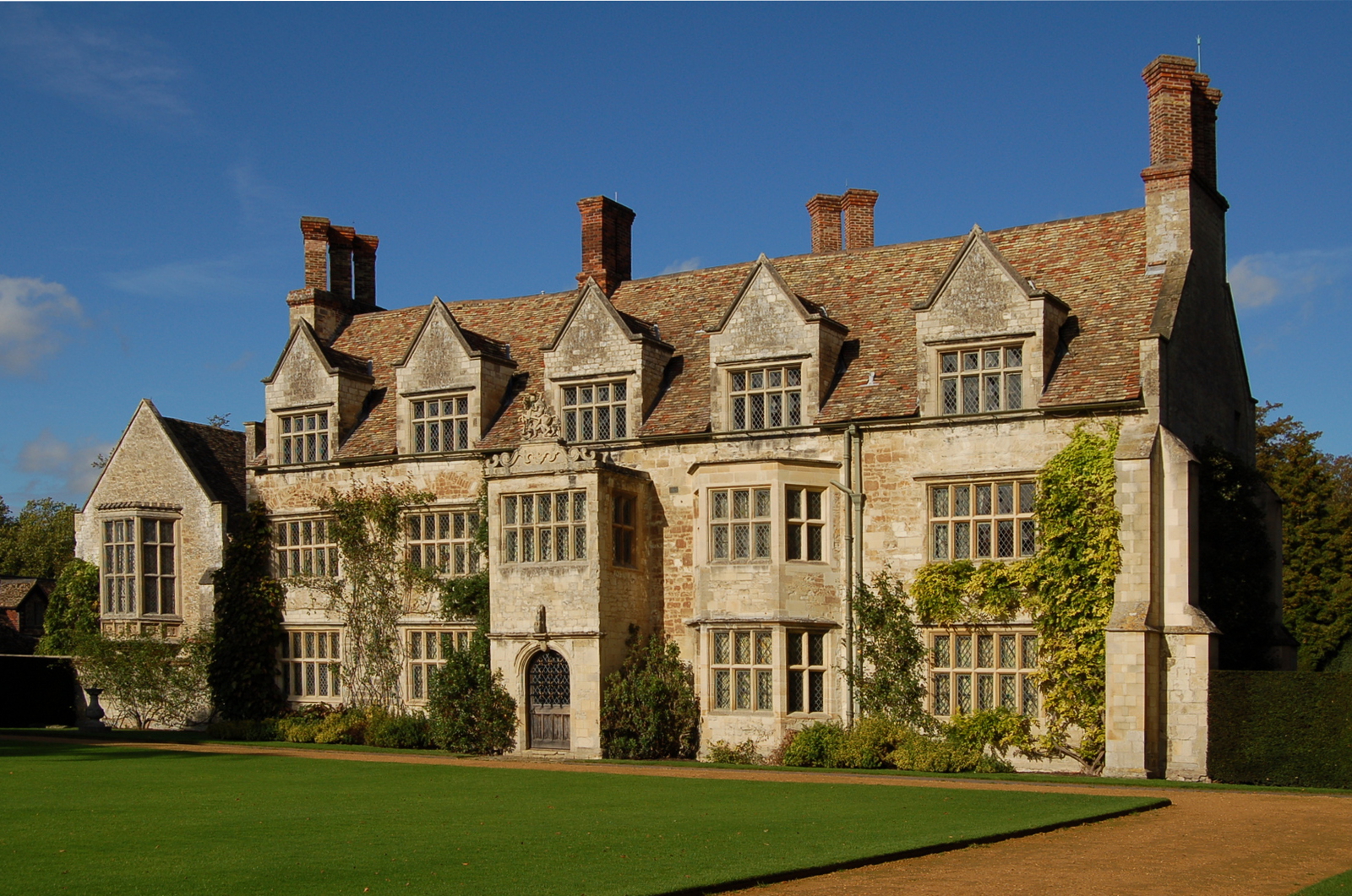
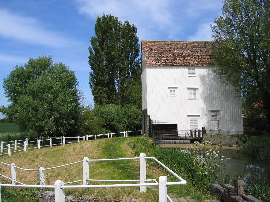
Round Covert Images
Images are sourced within 2km of 52.229821/0.26265099 or Grid Reference TL5461. Thanks to Geograph Open Source API. All images are credited.


Round Covert is located at Grid Ref: TL5461 (Lat: 52.229821, Lng: 0.26265099)
Administrative County: Cambridgeshire
District: East Cambridgeshire
Police Authority: Cambridgeshire
What 3 Words
///baroness.jams.unites. Near Bottisham, Cambridgeshire
Nearby Locations
Related Wikis

Bottisham Hall
Bottisham Hall is a country house in Bottisham, Cambridgeshire, England. Built in 1797 for the Reverend George Leonard Jenyns to replace the family's previous...
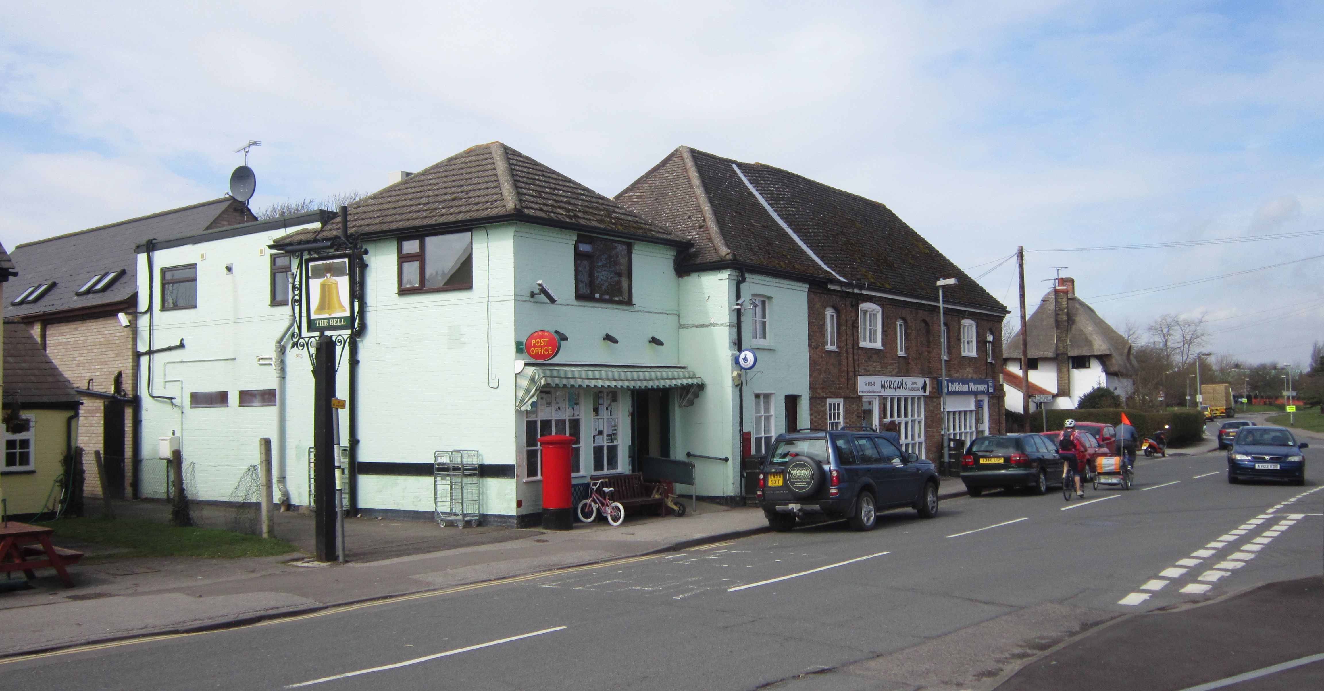
Bottisham
Bottisham is a village and civil parish in the East Cambridgeshire district of Cambridgeshire, England, about 6 miles (10 km) east of Cambridge, halfway...

Swaffham Bulbeck
Swaffham Bulbeck is a small village in East Cambridgeshire, England. Swaffham Bulbeck is located about 8 miles (13 km) from the city of Cambridge, and...
Anglesey Abbey
Anglesey Abbey is a National Trust property in the village of Lode, 5+1⁄2 miles (8.9 km) northeast of Cambridge, England. The property includes a country...

RAF Bottisham
Royal Air Force Bottisham or more simply RAF Bottisham is a former Royal Air Force station located 5 miles (8 km) east of Cambridge, Cambridgeshire, England...
Lode, Cambridgeshire
Lode is a small village in East Cambridgeshire on the southern edge of The Fens. It lies just north of the B1102 between Quy and Swaffham Bulbeck, 8 miles...

Bottisham and Lode railway station
Bottisham and Lode Railway Station is a disused railway station on the Cambridge to Mildenhall railway in East Anglia, England. The station is located...

Swaffham Bulbeck Priory
Swaffham Bulbeck Priory was a priory in Cambridgeshire, England. == References ==
Nearby Amenities
Located within 500m of 52.229821,0.26265099Have you been to Round Covert?
Leave your review of Round Covert below (or comments, questions and feedback).