Farnham

Settlement in Essex Uttlesford

England

Farnham

Barn, Broome Cottage Grade II listed.
Barn, Broome Cottage Credit: N Chadwick

Farnham is a small village located in the county of Essex, England. Situated near the border with Hertfordshire, it lies approximately 25 miles northeast of London. With a population of around 1,500 residents, Farnham is known for its tranquil and picturesque surroundings.

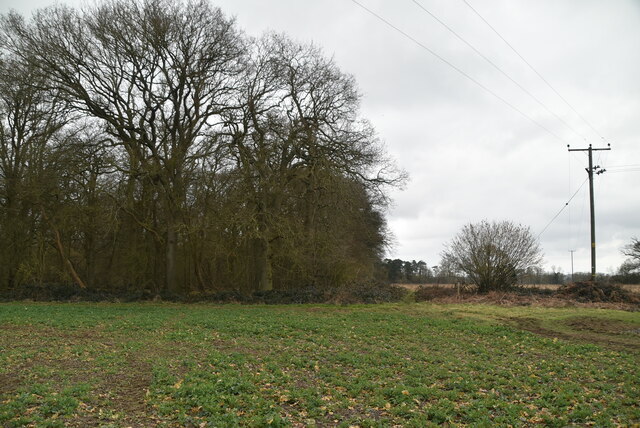
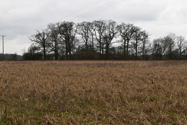
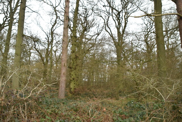
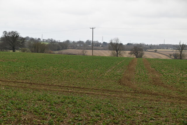
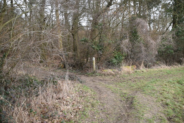
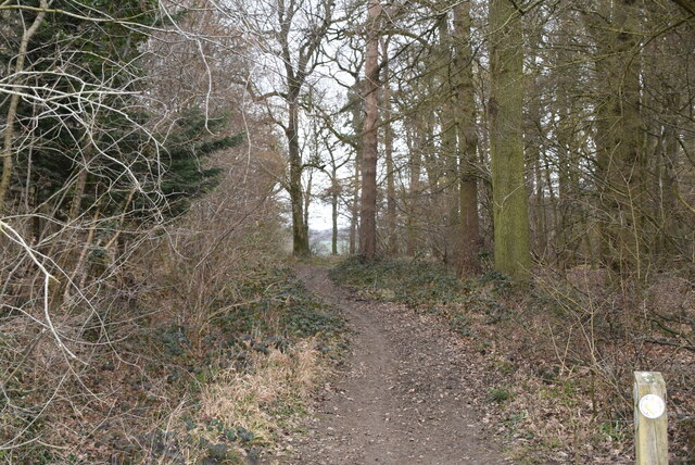
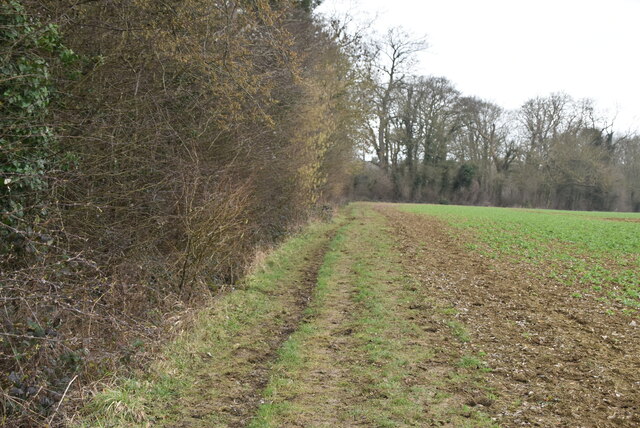
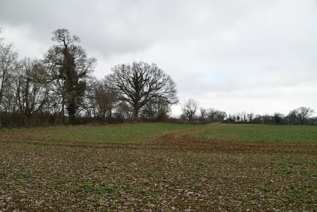
The village is surrounded by stunning countryside, characterized by rolling hills, meadows, and woodland areas. This natural beauty makes Farnham a popular destination for outdoor activities such as hiking, cycling, and horse riding. The nearby River Stort also provides opportunities for boating and fishing enthusiasts.

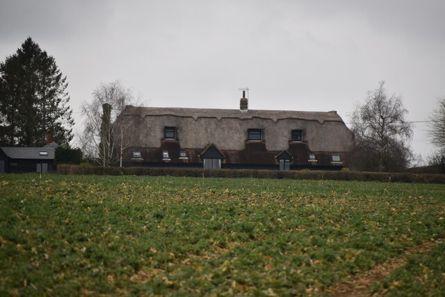
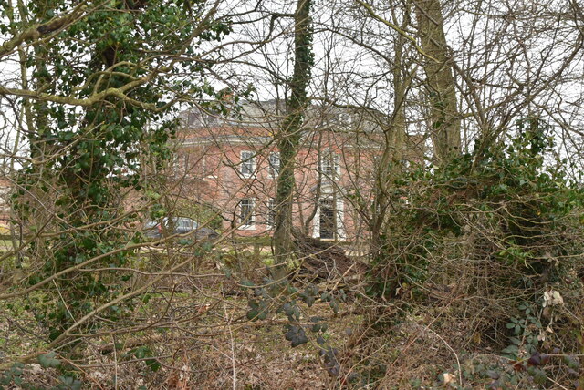
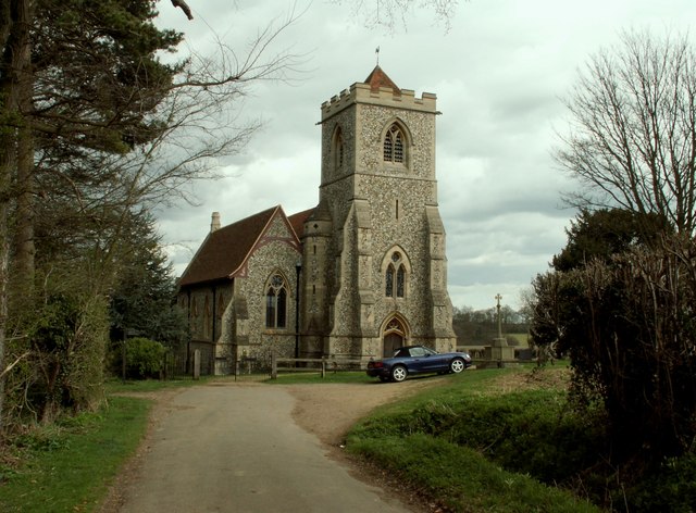
Farnham has a rich history dating back to medieval times, and it boasts several historic buildings. One notable landmark is St. Mary's Church, a beautiful 13th-century structure that features intricate architectural details. The village also has a number of well-preserved timber-framed houses, adding to its charm and character.

Despite its small size, Farnham has a strong sense of community, with a range of local amenities and services. These include a village hall, a primary school, a post office, and a traditional pub. The village holds regular events and activities, fostering a close-knit and friendly atmosphere.

Transport links to Farnham are convenient, with easy access to major road networks such as the M11 and A10. The nearby town of Bishop's Stortford provides additional amenities and a railway station, offering direct links to London Liverpool Street and other major cities.

Overall, Farnham offers a peaceful and idyllic setting for those seeking a rural retreat within easy reach of urban conveniences.

If you have any feedback on the listing, please let us know in the comments section below.

Farnham Images

Images are sourced within 2km of 51.902281/0.141791 or Grid Reference TL4724. Thanks to Geograph Open Source API. All images are credited.

Barn, Broome Cottage Grade II listed.
Barn, Broome Cottage
Grade II listed.
Barn, Broome Cottage Listed buildings and structures are officially designated as being of special architectural, historical or cultural significance. There are over half a million listed structures in the United Kingdom, covered by around 375,000 listings.
Listed status is more commonly associated with buildings or groups of buildings, however it can cover many other structures, including bridges, headstones, steps, ponds, monuments, walls, phone boxes, wrecks, parks, and heritage sites, and in more recent times a road crossing (Abbey Road) and graffiti art (Banksy 'Spy-booth') have been included.

In England and Wales there are three main listing designations;
Grade I (2.5%) - exceptional interest, sometimes considered to be internationally important.
Grade II* (5.5%) - particularly important buildings of more than special interest. 
Grade II (92%) - nationally important and of special interest. 

There are also locally listed structures (at the discretion of local authorities) using A, B and C designations.

In Scotland three classifications are also used but the criteria are different. There are around 47,500 Listed buildings.
Category A (8%)- generally equivalent to Grade I and II* in England and Wales
Category B (51%)- this appears generally to cover the ground of Grade II, recognising national importance.
Category C (41%)- buildings of local importance, probably with some overlap with English Grade II.

In Northern Ireland the criteria are similar to Scotland, but the classifications are:
Grade A (2.3%)
Grade B+ (4.7%)
Grade B (93%)

Read more at Wikipedia <span class="nowrap"><a title="http://en.wikipedia.org/wiki/Listed_building" rel="nofollow ugc noopener" href="http://en.wikipedia.org/wiki/Listed_building">Link</a><img style="margin-left:2px;" alt="External link" title="External link - shift click to open in new window" src="https://s1.geograph.org.uk/img/external.png" width="10" height="10"/></span>
Barn, Broome Cottage
Listed buildings and structures are officially designated as being of special architectural, historical or cultural significance. There are over half a million listed structures in the United Kingdom, covered by around 375,000 listings. Listed status is more commonly associated with buildings or groups of buildings, however it can cover many other structures, including bridges, headstones, steps, ponds, monuments, walls, phone boxes, wrecks, parks, and heritage sites, and in more recent times a road crossing (Abbey Road) and graffiti art (Banksy 'Spy-booth') have been included. In England and Wales there are three main listing designations; Grade I (2.5%) - exceptional interest, sometimes considered to be internationally important. Grade II* (5.5%) - particularly important buildings of more than special interest. Grade II (92%) - nationally important and of special interest. There are also locally listed structures (at the discretion of local authorities) using A, B and C designations. In Scotland three classifications are also used but the criteria are different. There are around 47,500 Listed buildings. Category A (8%)- generally equivalent to Grade I and II* in England and Wales Category B (51%)- this appears generally to cover the ground of Grade II, recognising national importance. Category C (41%)- buildings of local importance, probably with some overlap with English Grade II. In Northern Ireland the criteria are similar to Scotland, but the classifications are: Grade A (2.3%) Grade B+ (4.7%) Grade B (93%) Read more at Wikipedia LinkExternal link
Footpath
Footpath
Arable land
Arable land
Small woodland
Small woodland
Oozes Wood
Oozes Wood
Arable land
Arable land
Footpath by Oozes Wood
Oozes Wood
Oozes Wood
Farmland and woodland
Essex farmland
Essex farmland
Footpath junction
Footpath junction
Footpath between Oozes Wood and Home Wood
Footpath by Home Wood
Home Wood
Home Wood
Field edge footpath
Field edge footpath
Arable land
Arable land
Show me another place!

Farnham is located at Grid Ref: TL4724 (Lat: 51.902281, Lng: 0.141791)

Administrative County: Essex

District: Uttlesford

Police Authority: Essex

What 3 Words

///scarred.skim.ranches. Near Bishops Stortford, Hertfordshire

Related Wikis

Farnham, Essex

Farnham is a small village in Essex, England, situated near Bishop's Stortford. The main features are Farnham Church of England Primary School, the church...

Bentfield Bury

Bentfield Bury is a small village in Essex, England. It is one of over 100 villages in the district of Uttlesford and is within Stansted Mountfitchet parish...

Bentfield Green

Bentfield Green is an area of common land and settlement in the village of Stansted Mountfitchet, in the civil parish of Stansted Mountfitchet, in the...

Manuden

Manuden is a village and civil parish in the Uttlesford district of Essex, England. It is located around 3+1⁄2 miles (6 km) north of Bishop's Stortford...

Cricket Field Lane

Cricketfield Lane is a cricket ground in Bishop's Stortford, Hertfordshire. The earliest recorded match on the ground was in 1862 between Bishop's Stortford...

Patmore Heath

Patmore Heath is a 7.6 hectares (19 acres) biological Site of Special Scientific Interest in East Hertfordshire, England, 2 kilometres north-east of Albury...

Stansted Mountfitchet Windmill

Stansted Mountfitchet Windmill is a grade II* listed Tower mill at Stansted Mountfitchet, Essex, England which is also a Scheduled Ancient Monument. It...

Stansted F.C.

Stansted Football Club is an English football club based in Stansted Mountfitchet, Essex. The club are currently members of the Spartan South Midlands...

Nearby Amenities

Located within 500m of 51.902281,0.141791
Rectory Lane
Naptan AtcoCode: 1500IM1910
Naptan Bearing: NW
Naptan BusStopType: CUS
Naptan CommonName: Rectory Lane
Naptan Indicator: Adj
Naptan Landmark: Rectory Lane
Naptan NaptanCode: esxadmpm
Naptan Street: Stortford Road
Naptan Verified: no
Source: naptan_import
Lat/Long: 51.9021849/0.1470477
Defibrillator
Access: yes
Defibrillator Location: outside Farnham Village Hall
Emergency: defibrillator
Indoor: no
Lat/Long: 51.9025205/0.1418792
Give Way
Direction: backward
Lat/Long: 51.9023991/0.1418512
Give Way
Direction: backward
Lat/Long: 51.9024244/0.1468795
Booth: K6
Covered: booth
Disused Amenity: telephone
Man Made: telephone_box
Lat/Long: 51.9023703/0.1421091
The data included in this document is from www.openstreetmap.org. The data is made available under ODbL.

Have you been to Farnham?

Leave your review of Farnham below (or comments, questions and feedback).