Farnham
Civil Parish in Essex Uttlesford
England
Farnham

Farnham is a civil parish located in the county of Essex, in the eastern part of England. Situated approximately 35 miles northeast of London, the parish covers an area of around 6.5 square miles. It is part of the Epping Forest District and falls within the parliamentary constituency of Harlow.
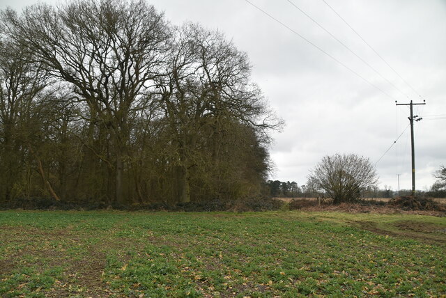
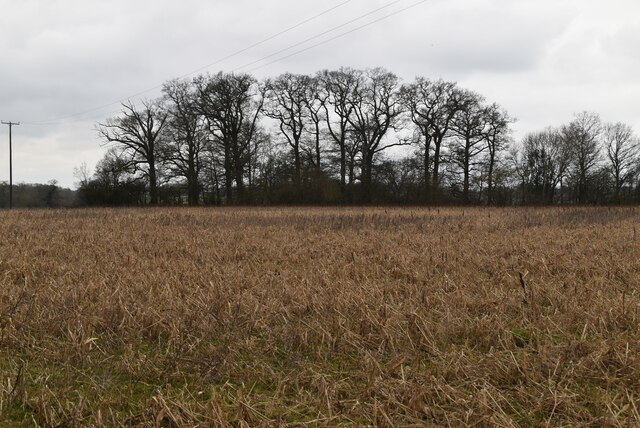
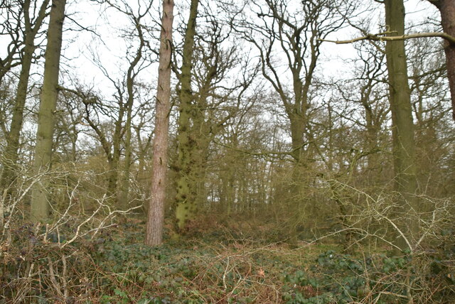
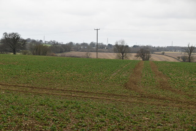
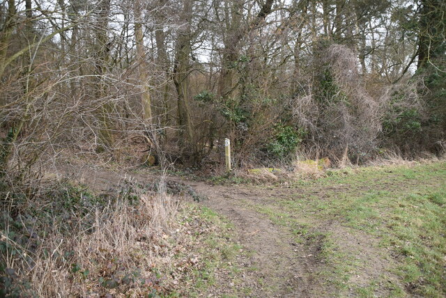
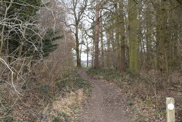
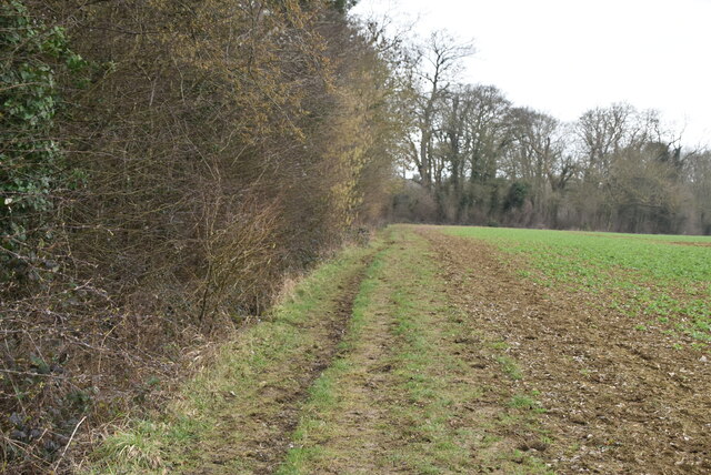
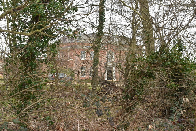
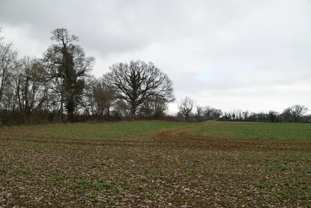
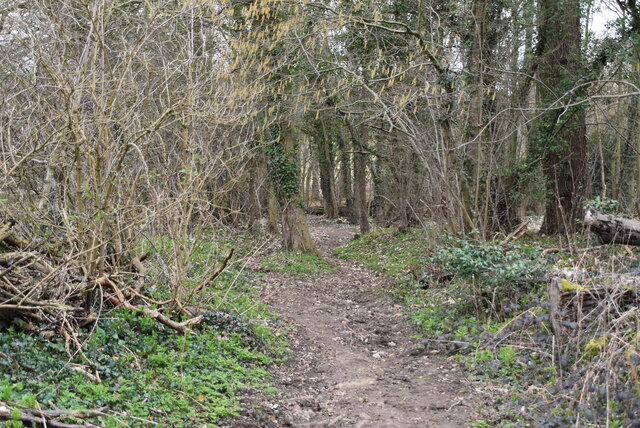
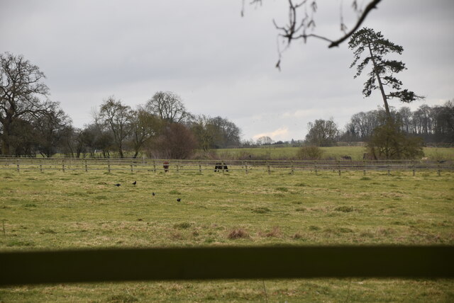
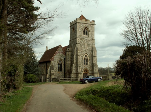
The village of Farnham is nestled in a rural setting, surrounded by picturesque countryside and farmland. It is characterized by its charming and traditional architecture, with a mix of period houses and cottages lining its streets. The centerpiece of the village is the historic St. Mary's Church, which dates back to the 12th century and is known for its beautiful stained glass windows.
Farnham offers a peaceful and tranquil environment, making it an ideal place for those seeking a quiet and rural lifestyle. The village has a strong sense of community, with various local events and activities organized throughout the year. It also benefits from a range of amenities, including a village hall, a primary school, and a post office.
While Farnham is primarily a residential area, it is well-connected to nearby towns and cities. The village is located just a short drive away from the town of Bishop's Stortford, which offers a wider range of shops, restaurants, and leisure facilities. Additionally, the proximity to London allows for easy commuting to the capital.
Overall, Farnham is a charming and idyllic village in Essex, offering a peaceful and rural lifestyle while providing convenient access to nearby amenities and larger urban centers.
If you have any feedback on the listing, please let us know in the comments section below.
Farnham Images
Images are sourced within 2km of 51.899301/0.145443 or Grid Reference TL4724. Thanks to Geograph Open Source API. All images are credited.


Farnham is located at Grid Ref: TL4724 (Lat: 51.899301, Lng: 0.145443)
Administrative County: Essex
District: Uttlesford
Police Authority: Essex
What 3 Words
///newlywed.petted.bedspread. Near Bishops Stortford, Hertfordshire
Nearby Locations
Related Wikis
Farnham, Essex
Farnham is a small village in Essex, England, situated near Bishop's Stortford. The main features are Farnham Church of England Primary School, the church...

Bentfield Bury
Bentfield Bury is a small village in Essex, England. It is one of over 100 villages in the district of Uttlesford and is within Stansted Mountfitchet parish...
Bentfield Green
Bentfield Green is an area of common land and settlement in the village of Stansted Mountfitchet, in the civil parish of Stansted Mountfitchet, in the...

Cricket Field Lane
Cricketfield Lane is a cricket ground in Bishop's Stortford, Hertfordshire. The earliest recorded match on the ground was in 1862 between Bishop's Stortford...

Manuden
Manuden is a village and civil parish in the Uttlesford district of Essex, England. It is located around 3+1⁄2 miles (6 km) north of Bishop's Stortford...

Boar's Head Inn, Bishop's Stortford
The Boar's Head Inn is a Grade II* listed public house in Bishop's Stortford, Hertfordshire, England. The timber framed building was built in the late...
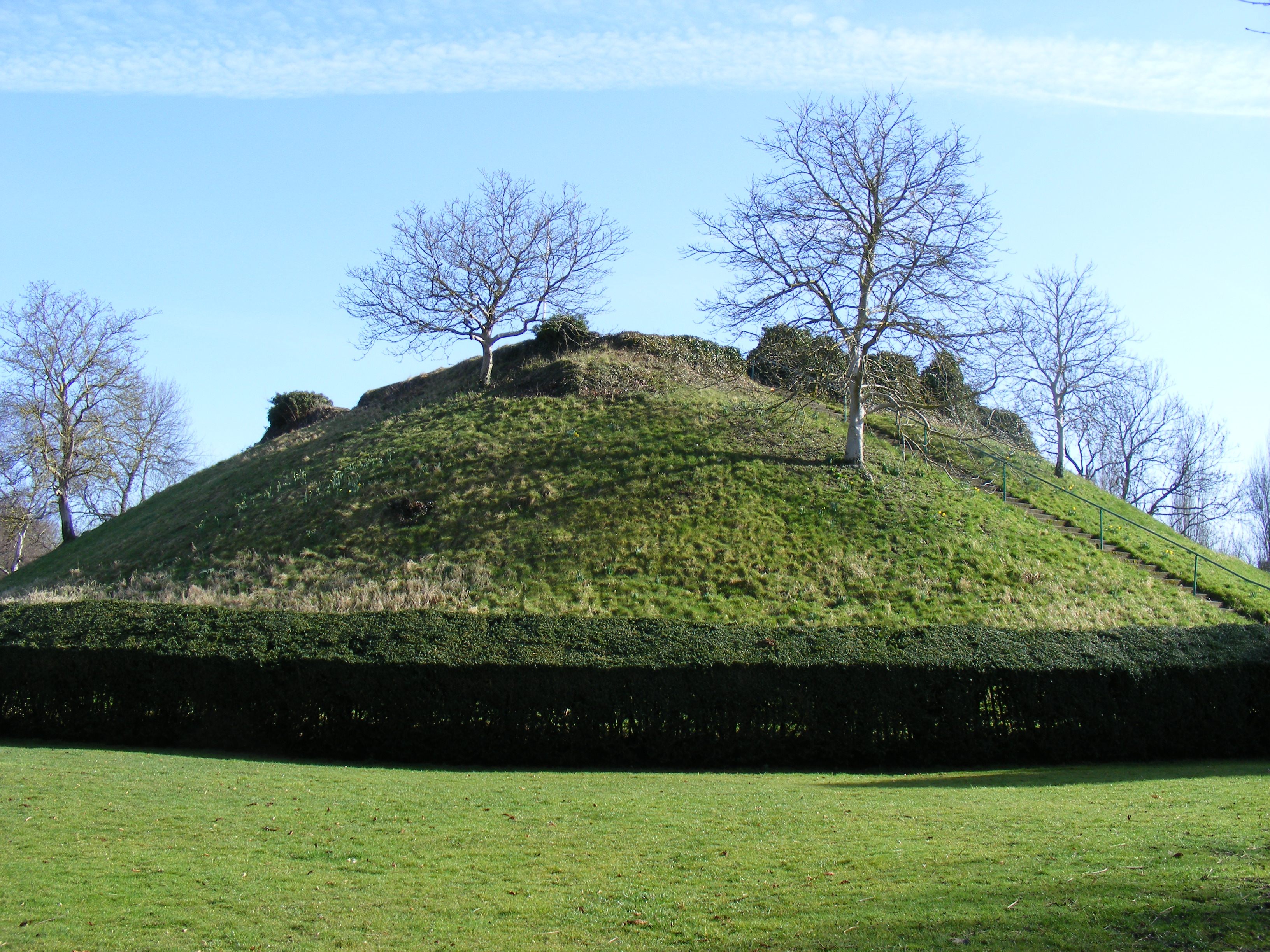
Waytemore Castle
Waytemore Castle is a ruined castle in the town of Bishop's Stortford in Hertfordshire, England. The remains are a Grade I listed structure.This began...
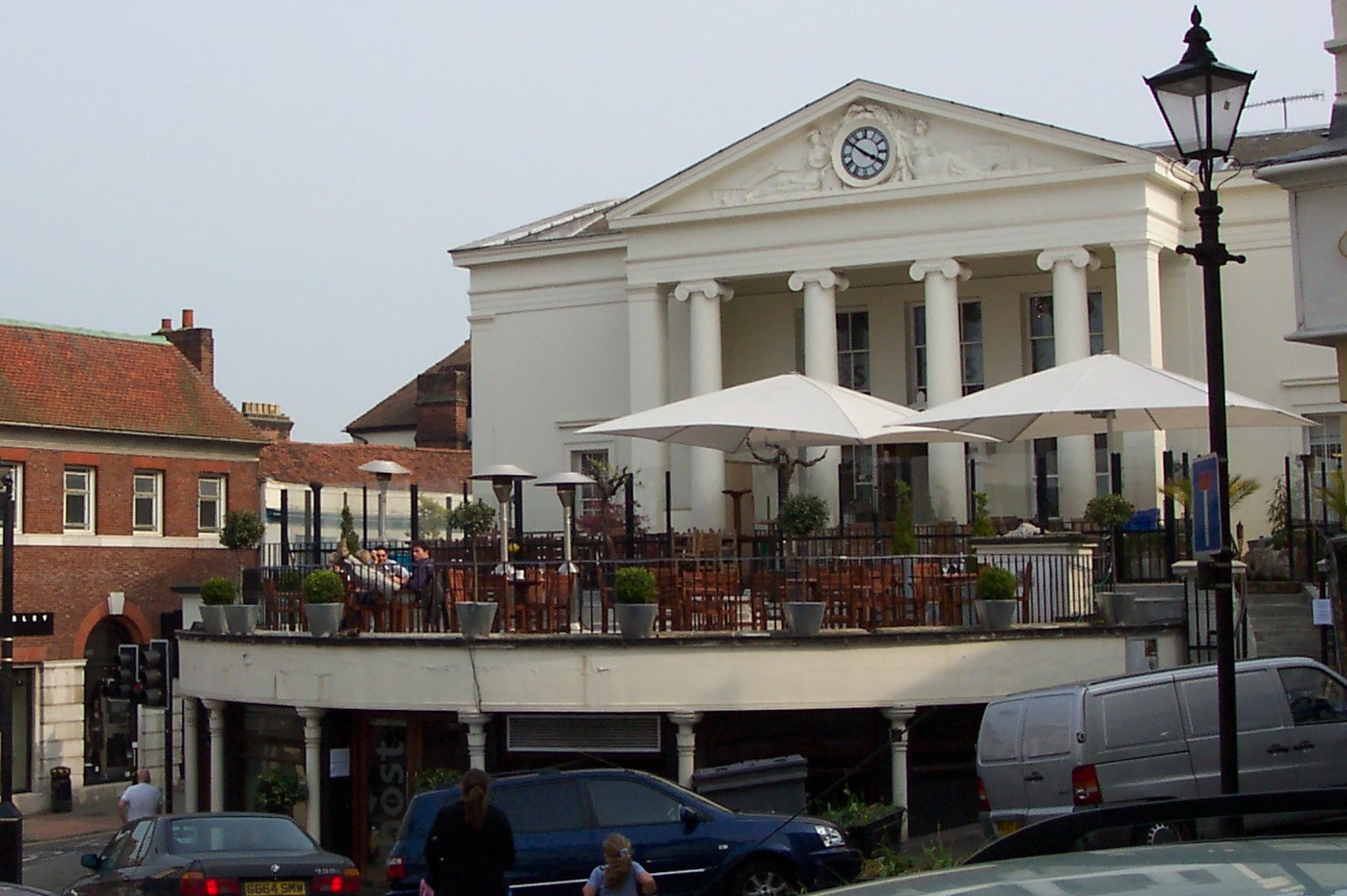
Corn Exchange, Bishop's Stortford
The Corn Exchange is a commercial building in the Market Square in Bishop's Stortford, Hertfordshire, England. The structure, which is currently used to...
Nearby Amenities
Located within 500m of 51.899301,0.145443Have you been to Farnham?
Leave your review of Farnham below (or comments, questions and feedback).