Blackdown Plantation
Wood, Forest in Sussex Wealden
England
Blackdown Plantation

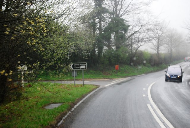
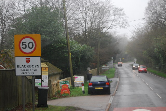
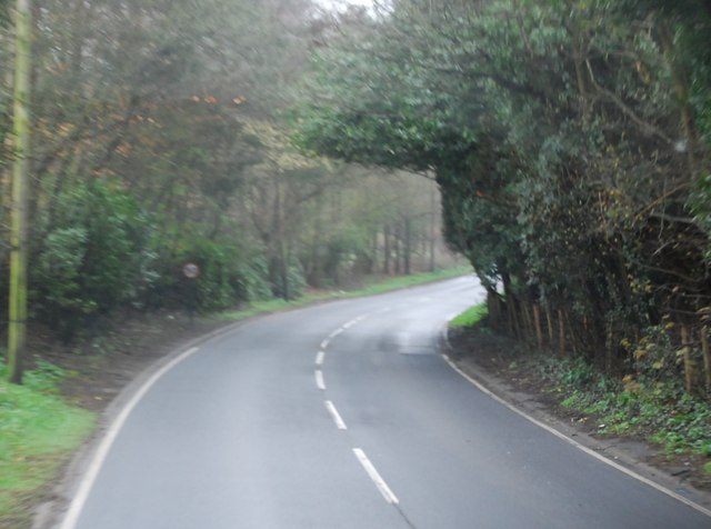
Blackdown Plantation, located in Sussex, England, is a sprawling woodland area that encompasses approximately 1,200 acres. It is nestled within the picturesque South Downs National Park and offers visitors a tranquil escape into nature. The plantation is renowned for its diverse range of plant and animal species, making it a haven for wildlife enthusiasts and nature lovers alike.
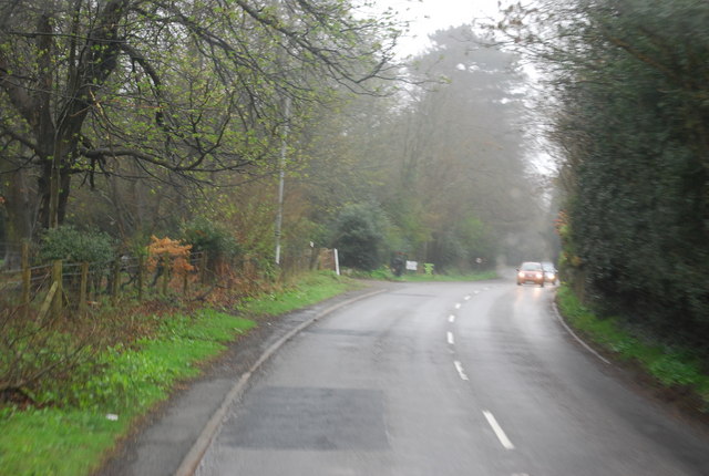
The woodland is predominantly composed of native tree species, including oak, beech, and birch, which create a rich and vibrant ecosystem. Walking through the plantation, visitors can expect to encounter a variety of wildlife, including deer, foxes, badgers, and a wide array of bird species. The plantation is particularly famous for being a habitat for nightingales, whose enchanting melodies can be heard during the spring and summer months.
Blackdown Plantation offers numerous walking trails, allowing visitors to explore the woodland at their own pace. The trails vary in difficulty, catering to both beginners and seasoned hikers. Along the way, walkers can enjoy breathtaking views of the surrounding countryside and may even stumble upon hidden streams and ponds.
The plantation is also home to a visitor center, which provides information about the local flora and fauna, as well as educational programs for schools and organizations. Additionally, the center offers guided tours led by knowledgeable experts who share insights into the plantation's ecology and conservation efforts.
Overall, Blackdown Plantation in Sussex is a captivating destination that offers a unique opportunity to immerse oneself in the beauty of nature while discovering the wonders of the South Downs.
If you have any feedback on the listing, please let us know in the comments section below.
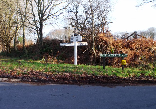
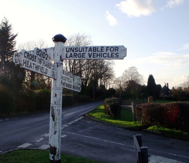
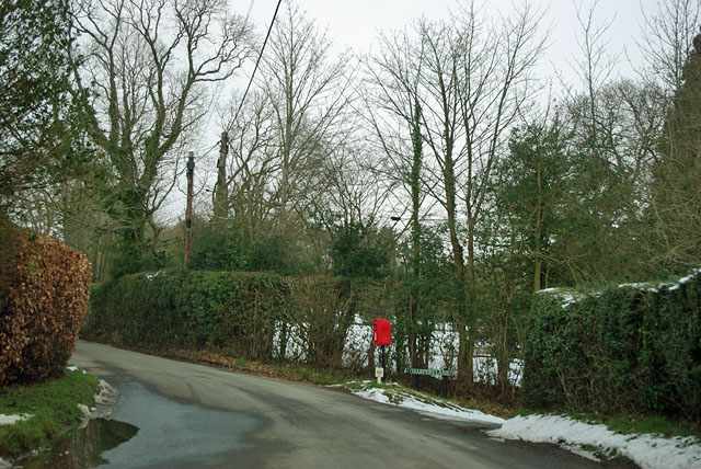
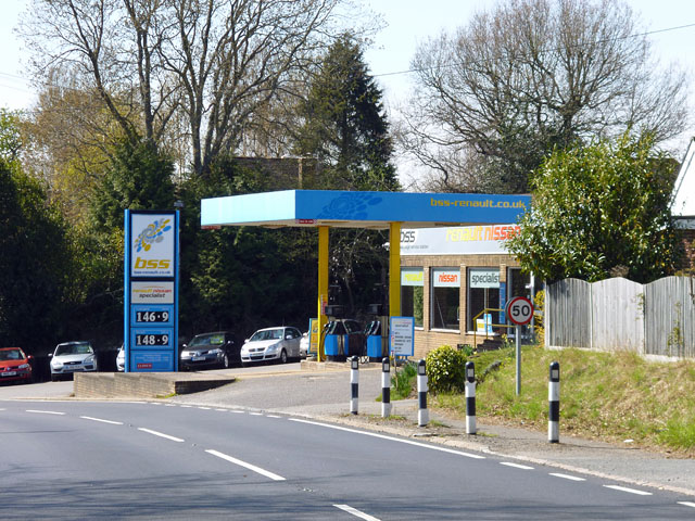
Blackdown Plantation Images
Images are sourced within 2km of 50.955092/0.19105462 or Grid Reference TQ5319. Thanks to Geograph Open Source API. All images are credited.


Blackdown Plantation is located at Grid Ref: TQ5319 (Lat: 50.955092, Lng: 0.19105462)
Administrative County: East Sussex
District: Wealden
Police Authority: Sussex
What 3 Words
///giggled.wipes.pegs. Near Horam, East Sussex
Nearby Locations
Related Wikis

Selwyns Wood
Selwyns Wood is a 11-hectare (27-acre) nature reserve west of Heathfield in Sussex. It is managed by the Sussex Wildlife Trust.This reserve has woodland...

Waldron Cutting
Waldron Cutting is a 0.2-hectare (0.49-acre) geological Site of Special Scientific Interest in East Sussex. It is a Geological Conservation Review site...

Roser's Cross
Roser's Cross is a village in the Wealden district of East Sussex.

Holy Cross Priory, Cross-in-Hand
Holy Cross Priory, Cross-in-Hand, is a priory of the Benedictine Sisters of Grace and Compassion which provides homes for the elderly. It was established...

New Mill, Cross-in-Hand
New Mill is a Grade II* listed post mill at Cross in Hand near Heathfield, East Sussex, England. It was the last windmill working commercially by wind...

Cross-in-Hand
Cross-in-Hand is a small village outside Heathfield town to its west, in the Wealden District situated in East Sussex, England. It is occasionally referred...

Heathfield transmitting station
The Heathfield transmitting station is a facility for FM and television transmission at Heathfield, East Sussex, UK (grid reference TQ566220). Opened in...
Maynard's Green
Maynard's Green is a village in the Wealden district of East Sussex. == External links == Maynards Green Community Primary School
Nearby Amenities
Located within 500m of 50.955092,0.19105462Have you been to Blackdown Plantation?
Leave your review of Blackdown Plantation below (or comments, questions and feedback).