Butlett's Wood
Wood, Forest in Sussex Wealden
England
Butlett's Wood

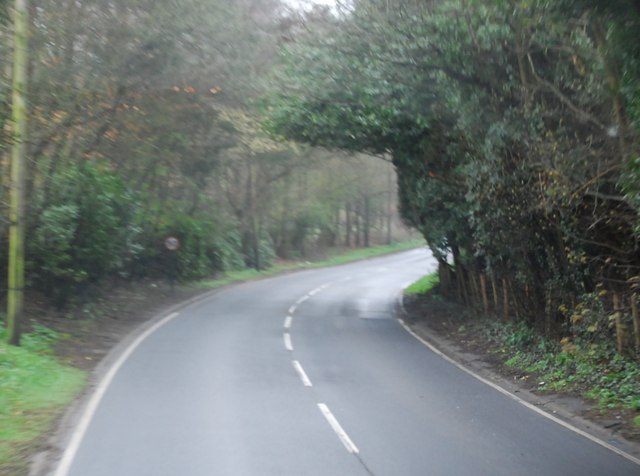
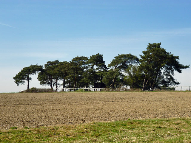
Butlett's Wood, located in Sussex, England, is a picturesque and enchanting forest that covers an area of approximately 200 acres. The wood is nestled in the heart of the South Downs National Park, just a few miles away from the charming village of East Dean.
This woodland is renowned for its diverse and vibrant ecosystem, boasting a rich variety of flora and fauna. The dense canopy of ancient oak and beech trees creates a tranquil and shady atmosphere, making it a popular destination for nature enthusiasts and hikers. The forest floor is carpeted with a vibrant array of wildflowers, including bluebells, primroses, and wood anemones during the springtime.
Butlett's Wood is also home to a thriving population of wildlife. Visitors may catch a glimpse of deer gracefully roaming through the undergrowth, while squirrels dart playfully from tree to tree. Birdwatchers will be delighted by the sight of various species such as woodpeckers, owls, and tawny tits.
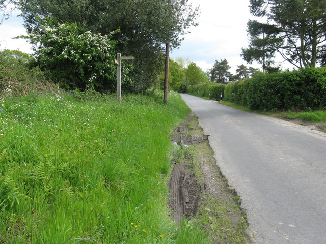
Numerous walking trails wind their way through the wood, offering visitors the opportunity to immerse themselves in the beauty of nature. These paths lead to stunning viewpoints, where one can admire breathtaking panoramic views of the surrounding countryside.
Butlett's Wood is not only a haven for wildlife and a popular retreat for nature-lovers, but it also holds historical significance. The woodland has been well-preserved over the years, and evidence of ancient settlements and archaeological sites can still be found within its boundaries, providing a glimpse into the past of this captivating woodland.
If you have any feedback on the listing, please let us know in the comments section below.
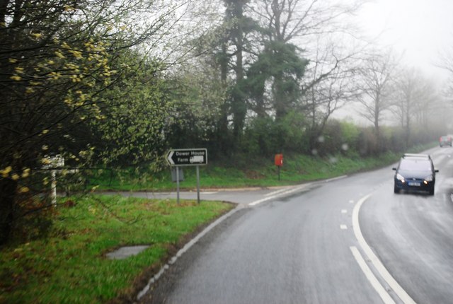
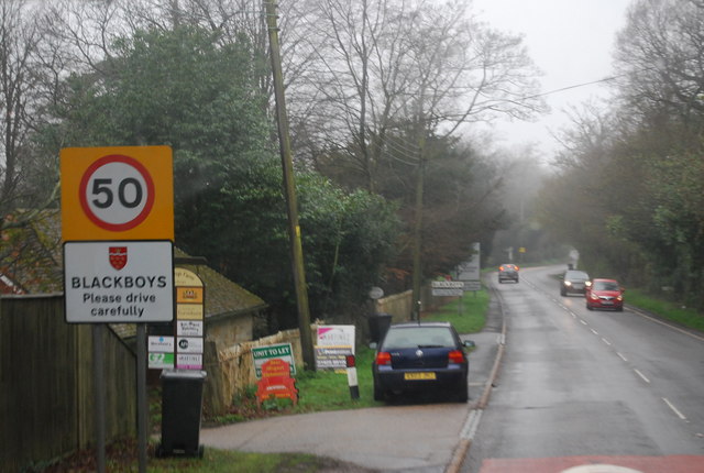
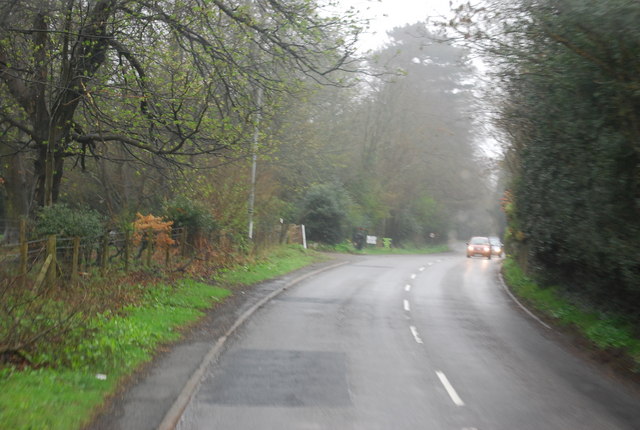
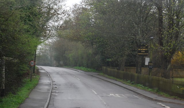
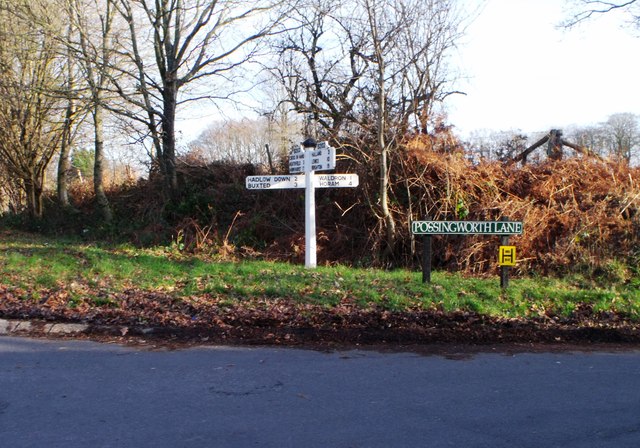
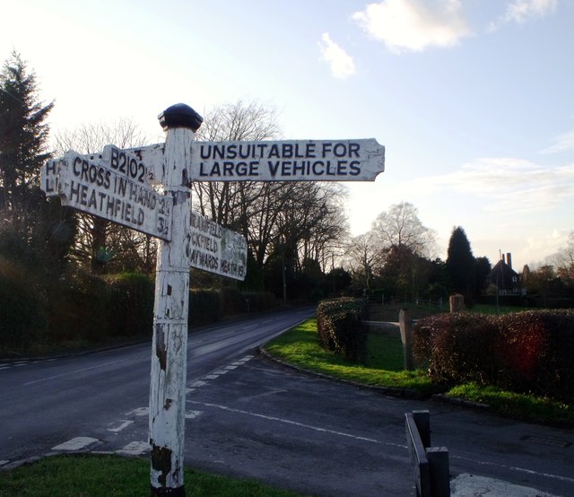
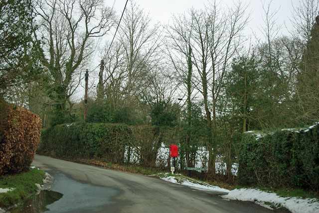
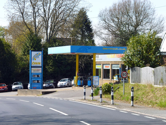
Butlett's Wood Images
Images are sourced within 2km of 50.956799/0.18392966 or Grid Reference TQ5319. Thanks to Geograph Open Source API. All images are credited.


Butlett's Wood is located at Grid Ref: TQ5319 (Lat: 50.956799, Lng: 0.18392966)
Administrative County: East Sussex
District: Wealden
Police Authority: Sussex
What 3 Words
///blunders.exchanges.hampers. Near Horam, East Sussex
Nearby Locations
Related Wikis

Roser's Cross
Roser's Cross is a village in the Wealden district of East Sussex.

Selwyns Wood
Selwyns Wood is a 11-hectare (27-acre) nature reserve west of Heathfield in Sussex. It is managed by the Sussex Wildlife Trust.This reserve has woodland...

Waldron Cutting
Waldron Cutting is a 0.2-hectare (0.49-acre) geological Site of Special Scientific Interest in East Sussex. It is a Geological Conservation Review site...

Holy Cross Priory, Cross-in-Hand
Holy Cross Priory, Cross-in-Hand, is a priory of the Benedictine Sisters of Grace and Compassion which provides homes for the elderly. It was established...

New Mill, Cross-in-Hand
New Mill is a Grade II* listed post mill at Cross in Hand near Heathfield, East Sussex, England. It was the last windmill working commercially by wind...

Cross-in-Hand
Cross-in-Hand is a small village outside Heathfield town to its west, in the Wealden District situated in East Sussex, England. It is occasionally referred...

Framfield
Framfield is a village and civil parish in the Wealden District of East Sussex, England. The village is located two miles (3 km) east of Uckfield; the...
Vanguard Way
The Vanguard Way is a long-distance walk of 66.2 mi (106.5 km) from East Croydon station in outer London (OS grid reference TQ328658), travelling from...
Nearby Amenities
Located within 500m of 50.956799,0.18392966Have you been to Butlett's Wood?
Leave your review of Butlett's Wood below (or comments, questions and feedback).