Blackdown Wood
Wood, Forest in Sussex Wealden
England
Blackdown Wood

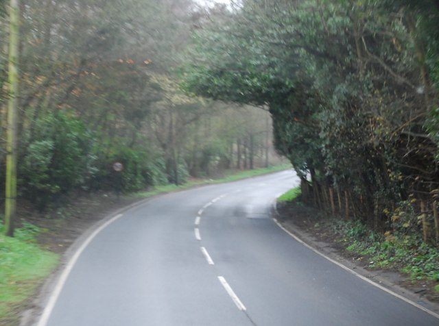
Blackdown Wood is a picturesque woodland located in Sussex, England. This enchanting forest covers an area of approximately 200 hectares and is nestled within the South Downs National Park. The wood is part of the Blackdown Estate, which is renowned for its natural beauty and diverse wildlife.
The woodland is predominantly composed of mature oak and beech trees, creating a dense canopy that provides a tranquil and shady environment. As visitors meander through the leafy trails, they are greeted by a rich tapestry of flora and fauna. Bluebells, wood anemones, and primroses carpet the forest floor in the spring, creating a breathtaking sight.
Blackdown Wood is home to a wide variety of wildlife, making it a haven for nature enthusiasts. Birdwatchers can spot a plethora of species, including woodpeckers, nightingales, and buzzards. The woodland also supports a diverse population of mammals, such as foxes, badgers, and deer.
The wood offers a range of activities for visitors to enjoy. Walking and hiking trails wind through the forest, allowing visitors to immerse themselves in the serenity of nature. Picnic areas are scattered throughout the wood, providing a perfect spot to rest and appreciate the peaceful surroundings. Additionally, the wood is a popular destination for photographers and artists due to its breathtaking landscapes and vibrant colors.
Overall, Blackdown Wood is a hidden gem in Sussex, offering a tranquil escape from the hustle and bustle of everyday life. Its natural beauty, diverse wildlife, and recreational opportunities make it a must-visit destination for nature lovers and outdoor enthusiasts alike.
If you have any feedback on the listing, please let us know in the comments section below.
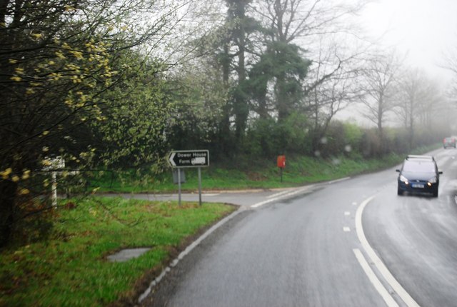
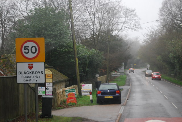
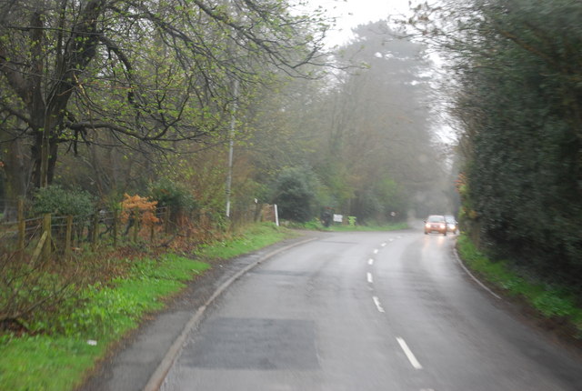
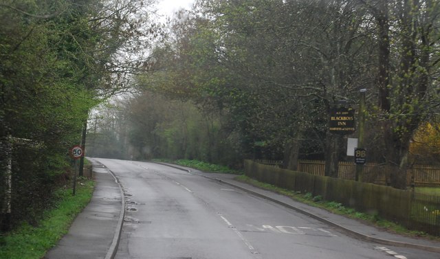
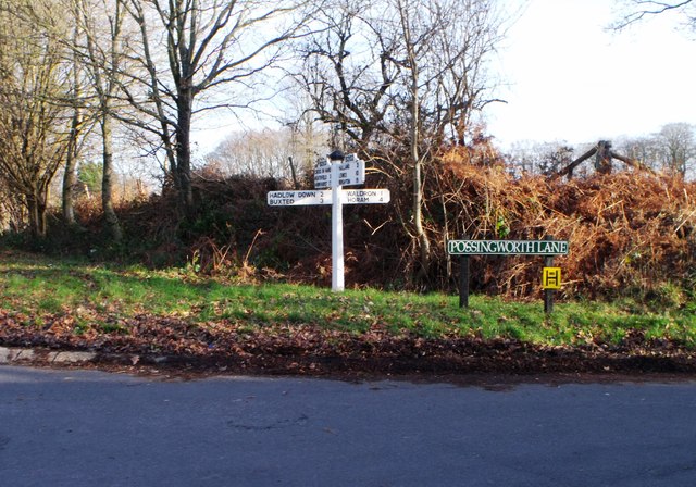
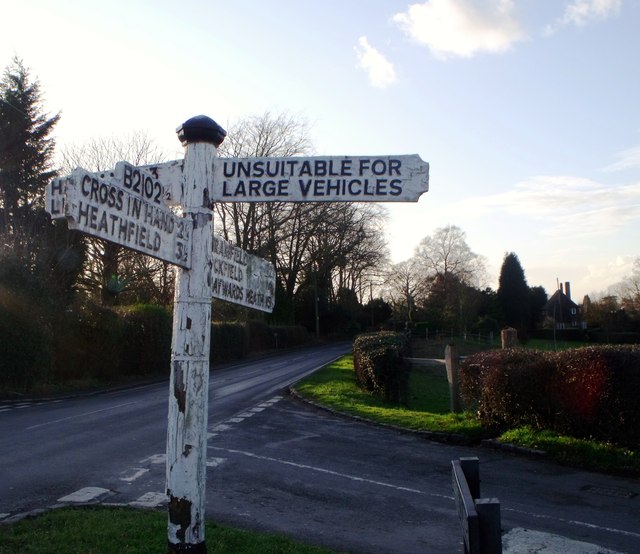
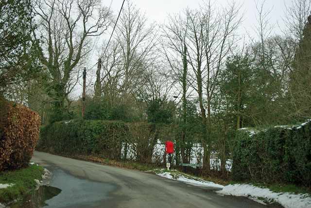
Blackdown Wood Images
Images are sourced within 2km of 50.95745/0.18759135 or Grid Reference TQ5319. Thanks to Geograph Open Source API. All images are credited.


Blackdown Wood is located at Grid Ref: TQ5319 (Lat: 50.95745, Lng: 0.18759135)
Administrative County: East Sussex
District: Wealden
Police Authority: Sussex
What 3 Words
///spillage.allow.blurred. Near Horam, East Sussex
Nearby Locations
Related Wikis

Roser's Cross
Roser's Cross is a village in the Wealden district of East Sussex.

Selwyns Wood
Selwyns Wood is a 11-hectare (27-acre) nature reserve west of Heathfield in Sussex. It is managed by the Sussex Wildlife Trust.This reserve has woodland...

Holy Cross Priory, Cross-in-Hand
Holy Cross Priory, Cross-in-Hand, is a priory of the Benedictine Sisters of Grace and Compassion which provides homes for the elderly. It was established...

Waldron Cutting
Waldron Cutting is a 0.2-hectare (0.49-acre) geological Site of Special Scientific Interest in East Sussex. It is a Geological Conservation Review site...

New Mill, Cross-in-Hand
New Mill is a Grade II* listed post mill at Cross in Hand near Heathfield, East Sussex, England. It was the last windmill working commercially by wind...

Cross-in-Hand
Cross-in-Hand is a small village outside Heathfield town to its west, in the Wealden District situated in East Sussex, England. It is occasionally referred...

Heathfield transmitting station
The Heathfield transmitting station is a facility for FM and television transmission at Heathfield, East Sussex, UK (grid reference TQ566220). Opened in...
Vanguard Way
The Vanguard Way is a long-distance walk of 66.2 mi (106.5 km) from East Croydon station in outer London (OS grid reference TQ328658), travelling from...
Nearby Amenities
Located within 500m of 50.95745,0.18759135Have you been to Blackdown Wood?
Leave your review of Blackdown Wood below (or comments, questions and feedback).