Burrs Wood

Wood, Forest in Kent Tunbridge Wells

England

Burrs Wood

Field near Lodgefield farm
Field near Lodgefield farm Credit: Matthew Chadwick

Burrs Wood is a picturesque woodland located in the county of Kent, England. Covering an area of approximately 100 acres, it is nestled within the beautiful High Weald Area of Outstanding Natural Beauty. The woodland is primarily composed of native broadleaf trees, such as oak, beech, and ash, which provide a rich and diverse habitat for a variety of wildlife.

The woodland is crisscrossed by a network of well-maintained footpaths, allowing visitors to explore its natural beauty at their own pace. These paths lead visitors through a mix of open glades, dense woodland, and peaceful meadows, offering stunning views and a sense of tranquility. The forest floor is carpeted with a vibrant array of wildflowers, including bluebells, primroses, and wood anemones, which add to the visual appeal of the woodland.

Burrs Wood is not only a haven for nature enthusiasts but also a popular destination for outdoor activities. The woodland offers opportunities for walking, running, cycling, and horse riding, with designated trails catering to different levels of difficulty and distance. Additionally, there are several picnic areas dotted throughout the woodland, inviting visitors to relax and enjoy a meal amidst the natural surroundings.

The management of Burrs Wood prioritizes conservation and sustainable practices, ensuring the preservation of its ecological significance. Local volunteers actively participate in maintaining the woodland, organizing regular clean-up sessions and tree planting initiatives.

Overall, Burrs Wood in Kent provides a delightful escape from the hustle and bustle of everyday life, offering a wonderful combination of natural beauty, recreational activities, and an opportunity to connect with the great outdoors.

If you have any feedback on the listing, please let us know in the comments section below.
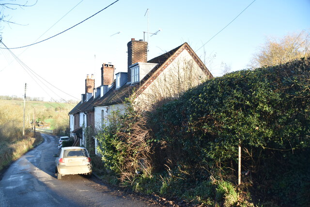
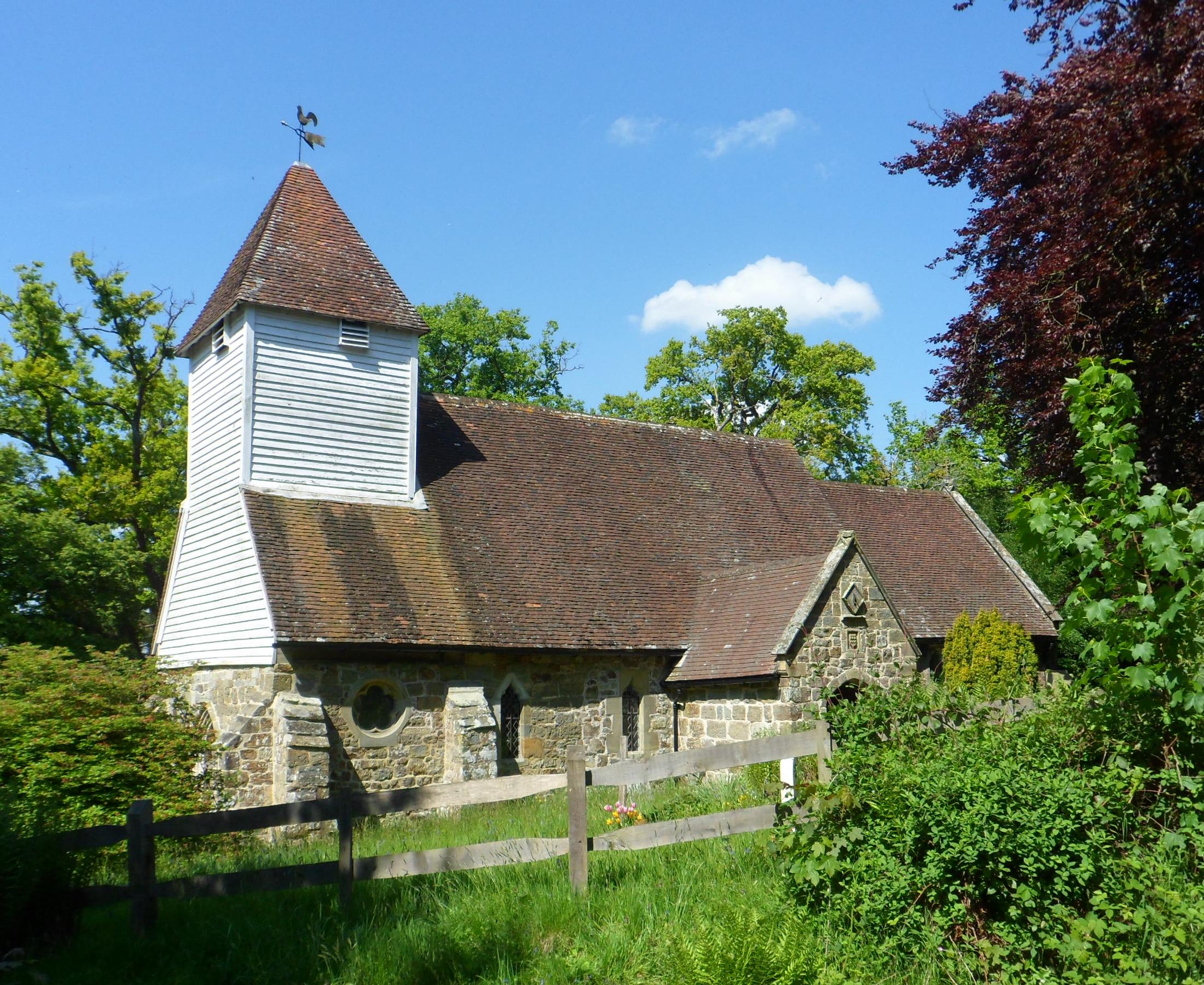
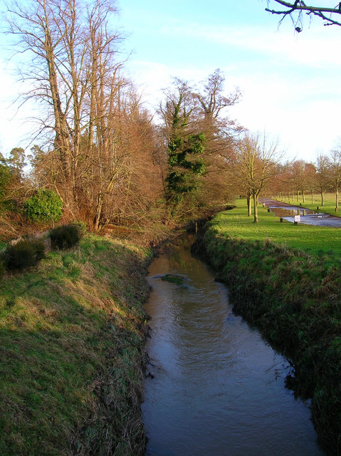
Burrs Wood Images

Images are sourced within 2km of 51.122247/0.16834495 or Grid Reference TQ5138. Thanks to Geograph Open Source API. All images are credited.

Field near Lodgefield farm
Green Field The name of the field according to Withyham's 1842 tithe map located on the western side of the drive to Blackham Court.
Green Field
The name of the field according to Withyham's 1842 tithe map located on the western side of the drive to Blackham Court.
Way Field The name of the field according to Withyham's 1842 tithe map with the bridleway linking Blackham to Lyewood Common running down the eastern side.
Way Field
The name of the field according to Withyham's 1842 tithe map with the bridleway linking Blackham to Lyewood Common running down the eastern side.
Lodge Field The name of the field according to Withyham's 1842 tithe map bounded by Lodgefield Farm to the east and Lodgefield Wood to the west.
Lodge Field
The name of the field according to Withyham's 1842 tithe map bounded by Lodgefield Farm to the east and Lodgefield Wood to the west.
Houses near Chafford Bridge
Chafford Cottages
Chafford Cottages
Sheep grazing
Sheep grazing
A Eutrophic pond Eutrophication is an enrichment of a water body by minerals and nutrients that lead to a reduction in water quality, especially a reduction in oxygen content. Although it can be a natural process most modern eutrophication is caused by human activity, especially the use of nitrates and phosphates. A eutrophic water body is characterised by a surface green algal bloom.
Wikipedia: <span class="nowrap"><a title="https://en.wikipedia.org/wiki/Eutrophication" rel="nofollow ugc noopener" href="https://en.wikipedia.org/wiki/Eutrophication">Link</a><img style="margin-left:2px;" alt="External link" title="External link - shift click to open in new window" src="https://s1.geograph.org.uk/img/external.png" width="10" height="10"/></span>
A Eutrophic pond
Eutrophication is an enrichment of a water body by minerals and nutrients that lead to a reduction in water quality, especially a reduction in oxygen content. Although it can be a natural process most modern eutrophication is caused by human activity, especially the use of nitrates and phosphates. A eutrophic water body is characterised by a surface green algal bloom. Wikipedia: LinkExternal link
Clay Shaw
Clay Shaw
Frosty footpath
Frosty footpath
Frosty footpath
Frosty footpath
Lords Wood
Lords Wood
Driveway, Blackham Court
Forest Way The former East Grinstead to Tunbridge Wells opened in 1866 and was axed by Beeching and closed in 1967. The trackbed was purchased by East Sussex County Council and opened as a long distance path in 1979. Here the path goes under a former farm bridge.
Forest Way
The former East Grinstead to Tunbridge Wells opened in 1866 and was axed by Beeching and closed in 1967. The trackbed was purchased by East Sussex County Council and opened as a long distance path in 1979. Here the path goes under a former farm bridge.
Ham Farm The current farmhouse dates back to at least the 17th century and is believed to have replaced a much older structure - the first mention of house on this site is 1265.
Ham Farm
The current farmhouse dates back to at least the 17th century and is believed to have replaced a much older structure - the first mention of house on this site is 1265.
Pit Field/Pit Mead The name of the fields according to Withyham's 1842 tithe map that have been merged to form a larger unit. Pit Field was to the right whilst the northern portion of Pit Mead was separated from its southern half by the construction of the East Grinstead-Tunbridge Wells railway. The tram lines in the corn circle a World War Two pillbox.
Pit Field/Pit Mead
The name of the fields according to Withyham's 1842 tithe map that have been merged to form a larger unit. Pit Field was to the right whilst the northern portion of Pit Mead was separated from its southern half by the construction of the East Grinstead-Tunbridge Wells railway. The tram lines in the corn circle a World War Two pillbox.
Barn Mead/Little Mead The name of the fields according to Withyham's 1842 tithe map that have been merged to form a larger unit. Little Mead is on the left whilst Barn Mead is to the right. The current course of the public footpath follows the old field boundary between the two.
Barn Mead/Little Mead
The name of the fields according to Withyham's 1842 tithe map that have been merged to form a larger unit. Little Mead is on the left whilst Barn Mead is to the right. The current course of the public footpath follows the old field boundary between the two.
Mottsmill Stream A tributary of the River Medway that rises to the south of Mott's Mill. The bridge carries the Forest Way over the stream.
Mottsmill Stream
A tributary of the River Medway that rises to the south of Mott's Mill. The bridge carries the Forest Way over the stream.
Show me another place!

Burrs Wood is located at Grid Ref: TQ5138 (Lat: 51.122247, Lng: 0.16834495)

Administrative County: Kent

District: Tunbridge Wells

Police Authority: Kent

What 3 Words

///character.vocally.loves. Near Groombridge, East Sussex

Related Wikis

Arun Valley line

The Arun Valley line, also known as the Mid Sussex line, is part of the Southern- and Thameslink-operated railway services. For the initial part of the...

Ashurst, Kent

Ashurst is a village and former civil parish, now in the parish of Speldhurst, in the Tunbridge Wells district, in the county of Kent, England. It is 5...

River Grom

The River Grom is a short tributary of the River Medway near Tunbridge Wells in south-east England. Flowing westwards through High Rocks and Groombridge...

Stone Cross, Tunbridge Wells

The placename Stone Cross occurs in several parts of England, including two other smaller places in Kent: one near Sandwich, and one southeast of Ashford...

Nearby Amenities

Located within 500m of 51.122247,0.16834495
Barrier: kissing_gate
Lat/Long: 51.1241524/0.1675773
Barrier: stile
Lat/Long: 51.122281/0.1626786
Barrier: stile
Lat/Long: 51.1202196/0.1737472
Barrier: stile
Bicycle: no
Foot: yes
Material: wood
Source: survey
Stile: stepover
Lat/Long: 51.1240141/0.1677846
Barrier: stile
Bicycle: no
Foot: yes
Material: wood
Source: survey
Stile: stepover
Lat/Long: 51.1245967/0.1670336
Bench
Backrest: yes
Lat/Long: 51.1233247/0.1643549
Barrier: stile
Lat/Long: 51.1192256/0.1632265
Barrier: stile
Lat/Long: 51.1199387/0.170131
Note: joins with road?
Lat/Long: 51.1193056/0.1670855
Barrier: stile
Lat/Long: 51.1192172/0.1631056
Barrier: stile
Lat/Long: 51.1204049/0.1687346
Barrier: stile
Lat/Long: 51.119739/0.1668862
The data included in this document is from www.openstreetmap.org. The data is made available under ODbL.

Have you been to Burrs Wood?

Leave your review of Burrs Wood below (or comments, questions and feedback).