Bish Wood

Wood, Forest in Sussex Wealden

England

Bish Wood

St. Mark's, Hadlow Down, East Sussex
St. Mark's, Hadlow Down, East Sussex Credit: nick macneill

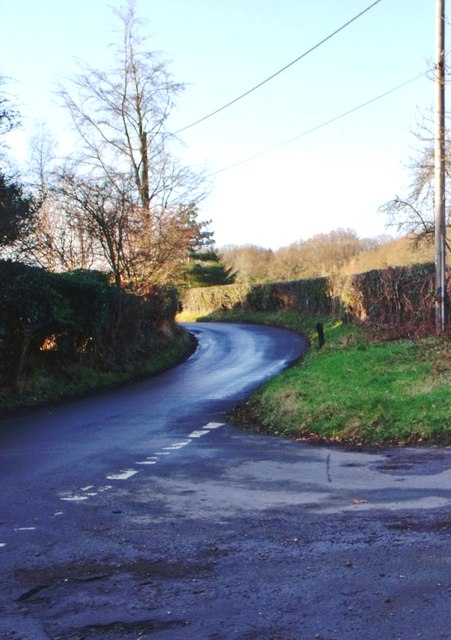
Bish Wood is a picturesque woodland located in the county of Sussex, England. Spread over an area of approximately 100 acres, the wood is situated near the small village of Wood, within the larger Ashdown Forest. Known for its natural beauty and tranquility, Bish Wood offers visitors a peaceful escape from the hustle and bustle of everyday life.

The woodland is characterized by a diverse range of trees, including oak, beech, and birch. These majestic trees create a dense canopy, providing shade and shelter for various wildlife species that call Bish Wood their home. Visitors to the wood may catch glimpses of squirrels scurrying among the branches or hear the melodic songs of birds echoing through the trees.

A network of well-maintained footpaths winds its way through Bish Wood, allowing visitors to explore its enchanting surroundings. The paths are suitable for walkers of all abilities and are clearly signposted, making navigation a breeze. Along the way, benches and picnic areas can be found, inviting visitors to rest and appreciate the woodland's serene atmosphere.

Bish Wood is particularly popular during the spring, when the forest floor comes alive with a vibrant display of bluebells. The sight of these delicate flowers carpeting the ground is truly breathtaking and attracts many nature enthusiasts and photographers.

Managed by a local conservation trust, Bish Wood is carefully preserved to protect its natural beauty and wildlife. The trust organizes educational events and guided walks throughout the year, providing visitors with an opportunity to learn more about the woodland's ecology and history.

In conclusion, Bish Wood is a captivating woodland in Sussex, offering visitors a tranquil retreat and the chance to immerse themselves in the beauty of nature.

If you have any feedback on the listing, please let us know in the comments section below.
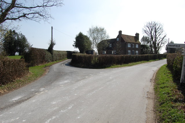
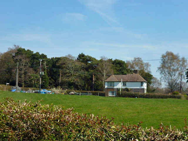
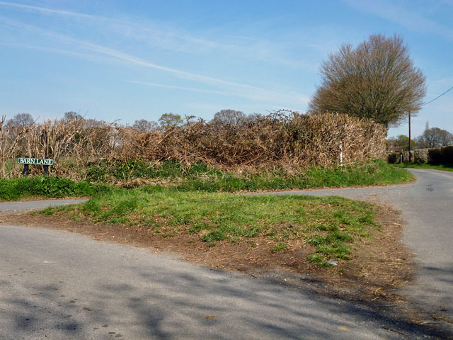
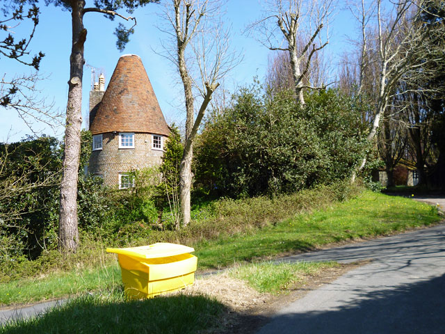
Bish Wood Images

Images are sourced within 2km of 50.98591/0.15933489 or Grid Reference TQ5122. Thanks to Geograph Open Source API. All images are credited.

St. Mark's, Hadlow Down, East Sussex
St. Mark's, Hadlow Down, East Sussex (2)
Minor road junction, Hadlow Down
Road junction, Pounsley, East Sussex
A pull-in on the A272 A useful thing to remember on this sort of road, the trouble is, they are often hogged by a lorry. This is by the entrance to Five Chimneys Cottage, according to the sign. The road here is called The Toll, a clue to its turnpike origins.
A pull-in on the A272
A useful thing to remember on this sort of road, the trouble is, they are often hogged by a lorry. This is by the entrance to Five Chimneys Cottage, according to the sign. The road here is called The Toll, a clue to its turnpike origins.
Entering Buxted A 40 limit on the outskirts, then a 30 limit. On the right is the turning for Howbourne Lane, a no through road.
Entering Buxted
A 40 limit on the outskirts, then a 30 limit. On the right is the turning for Howbourne Lane, a no through road.
30 - slow down in Buxted Whoops! A bit too fast. It is easy to exceed the limit in this direction which is continuously downhill.
30 - slow down in Buxted
Whoops! A bit too fast. It is easy to exceed the limit in this direction which is continuously downhill.
Tickerage Mill, Blackboys, East  Sussex This was the home of the actress Vivien Leigh after her divorce from Sir Laurence Olivier.
Tickerage Mill, Blackboys, East Sussex
This was the home of the actress Vivien Leigh after her divorce from Sir Laurence Olivier.
Riverside looking East
Lane junction on Wilderness Lane
St Mark the Evangelist, Hadlow Down In 1835 the Earl and Countess de la Warr gave land for a church in Hadlow Down, and the Prime Minister, Lord Liverpool, contributed £100. The church was consecrated in 1836, however, it was demolished in the early 20th Century  retaining the tower and walls of the nave, and a new structure erected incorporating a fine new chancel and chapel. It was dedicated to St Mark in 1913. The rebuilding was at the expense of Charles Lang Huggins of Hadlow Grange. The attractive Lady Chapel was designed for private prayer and meditation.
An electronic organ was installed in 1993.
St Mark the Evangelist, Hadlow Down
In 1835 the Earl and Countess de la Warr gave land for a church in Hadlow Down, and the Prime Minister, Lord Liverpool, contributed £100. The church was consecrated in 1836, however, it was demolished in the early 20th Century retaining the tower and walls of the nave, and a new structure erected incorporating a fine new chancel and chapel. It was dedicated to St Mark in 1913. The rebuilding was at the expense of Charles Lang Huggins of Hadlow Grange. The attractive Lady Chapel was designed for private prayer and meditation. An electronic organ was installed in 1993.
Interior St Mark's church, Hadlow Down Looking west
Interior St Mark's church, Hadlow Down
Looking west
Junction of Wilderness Lane and Riverside
Road junction near Popeswood Farm Rosers Common off to the left
Road junction near Popeswood Farm
Rosers Common off to the left
House on Streele Lane The maps have this as Hobbs Barton Farm, but also use this term for farm buildings some way south down the lane by the house of Hobbs Barton.
House on Streele Lane
The maps have this as Hobbs Barton Farm, but also use this term for farm buildings some way south down the lane by the house of Hobbs Barton.
Grass triangle at the junction Barn Lane meets Pound Lane.
Grass triangle at the junction
Barn Lane meets Pound Lane.
Converted oast house, Shepherd's Hill The grit bin is on a grass triangle at the junction of Pound Lane and Shepherds Hill.
Converted oast house, Shepherd's Hill
The grit bin is on a grass triangle at the junction of Pound Lane and Shepherds Hill.
Pounsley Hill The name of the lane and the name of the hill.
Pounsley Hill
The name of the lane and the name of the hill.
Show me another place!

Bish Wood is located at Grid Ref: TQ5122 (Lat: 50.98591, Lng: 0.15933489)

Administrative County: East Sussex

District: Wealden

Police Authority: Sussex

What 3 Words

///diverting.economies.lemons. Near Buxted, East Sussex

Nearby Locations

Bish Wood Tucks Wood

Related Wikis

Vanguard Way

The Vanguard Way is a long-distance walk of 66.2 mi (106.5 km) from East Croydon station in outer London (OS grid reference TQ328658), travelling from...

Etchingwood

Etchingwood is a small cluster of mostly detached properties and farms within the civil parish of Buxted in the Wealden district of East Sussex, England...

St Mark's Church, Hadlow Down

St Mark's Church (dedicated to St Mark the Evangelist) is an Anglican church in the village of Hadlow Down in the district of Wealden, one of six local...

Five Ash Down Independent Chapel

Five Ash Down Independent Chapel is an independent Evangelical church in the Reformed (Calvinist) tradition in the hamlet of Five Ash Down, East Sussex...

Providence Chapel, Hadlow Down

Providence Chapel is a former independent Calvinistic place of worship in the village of Hadlow Down in Wealden, one of six local government districts...

Buxted railway station

Buxted railway station is on the Uckfield branch of the Oxted Line in England, serving the village of Buxted, East Sussex. It is 43 miles 68 chains (70...
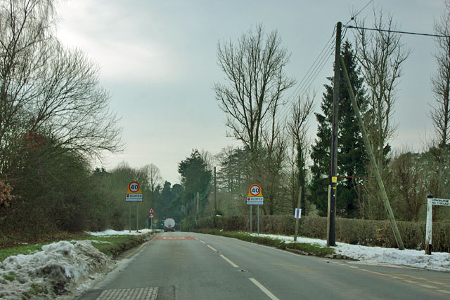
Buxted

Buxted is a village and civil parish in the Wealden district of East Sussex in England. The parish is situated on the Weald, north of Uckfield; the settlements...

Hadlow Down

Hadlow Down is a village and civil parish in the Wealden District of East Sussex, England. It is located on the A272 road three miles (4.8 km) north-west...

Nearby Amenities

Located within 500m of 50.98591,0.15933489
Barrier: stile
Lat/Long: 50.9847107/0.1541257
Barrier: stile
Lat/Long: 50.9849851/0.1527508
Barrier: stile
Lat/Long: 50.9820928/0.157003
Bish Wood
Natural: wood
Lat/Long: 50.9859424/0.1593879
The data included in this document is from www.openstreetmap.org. The data is made available under ODbL.

Have you been to Bish Wood?

Leave your review of Bish Wood below (or comments, questions and feedback).