Chalkpit Plantation

Wood, Forest in Cambridgeshire South Cambridgeshire

England

Chalkpit Plantation

Two Acre Plantation Two Acre Plantation viewed from footbridge over A11
Two Acre Plantation Credit: Oda Stoevesandt and Karsten Koehler

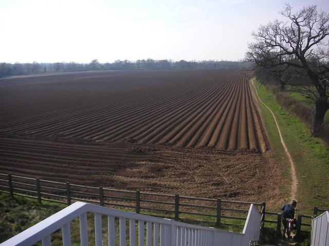
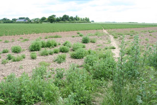
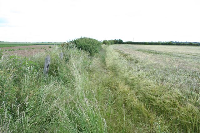
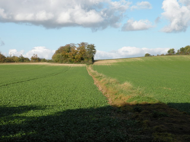
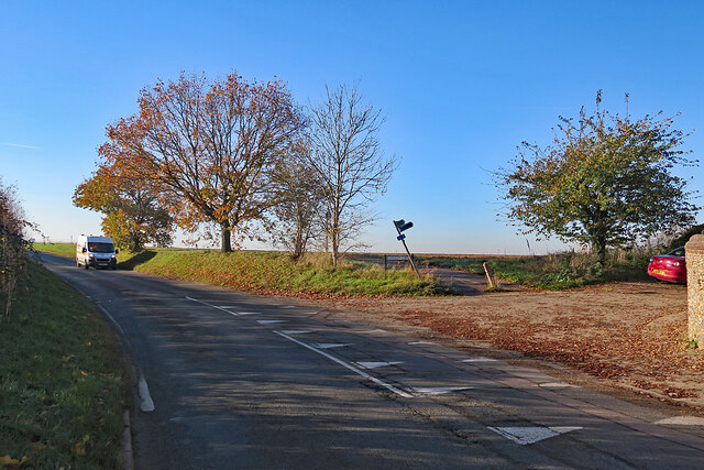
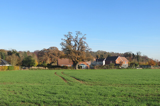
Chalkpit Plantation is a picturesque woodland located in the county of Cambridgeshire, England. Situated in the southern part of the county, the plantation covers an area of approximately 50 acres and is known for its natural beauty and diverse flora and fauna.

The woodland is predominantly composed of deciduous trees, including oak, beech, and ash, creating a vibrant and colorful environment throughout the changing seasons. The plantation is characterized by its rolling hills, providing visitors with scenic views and a serene atmosphere.

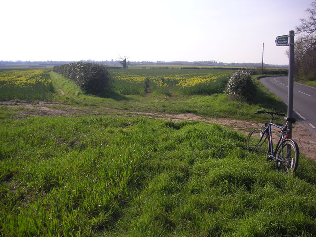
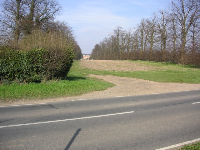
Chalkpit Plantation is a popular destination for nature enthusiasts and outdoor enthusiasts alike. The woodland offers various walking trails, allowing visitors to explore the plantation and discover its hidden gems. Along these trails, one can spot a variety of wildlife, including deer, squirrels, and a wide range of bird species.

In addition to its natural beauty, Chalkpit Plantation also holds historical significance. It is believed that the woodland has been in existence for centuries, serving as a hunting ground for local nobility in medieval times.

The woodland is easily accessible by both car and public transportation, with parking facilities available for visitors. It is a fantastic place for a leisurely stroll, a family picnic, or even a spot of birdwatching. Chalkpit Plantation truly offers a tranquil escape from the hustle and bustle of daily life, providing a haven of peace and tranquility in the heart of Cambridgeshire.

If you have any feedback on the listing, please let us know in the comments section below.

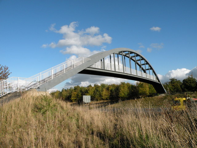
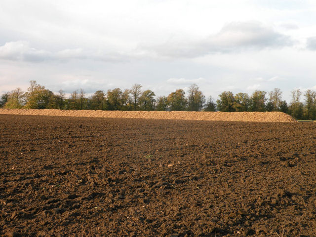
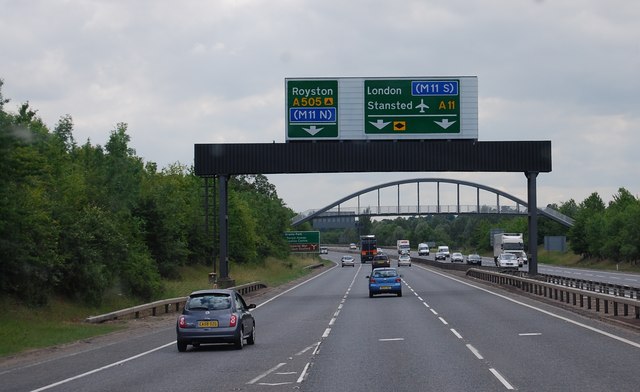
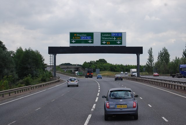
Chalkpit Plantation Images

Images are sourced within 2km of 52.134908/0.21442272 or Grid Reference TL5150. Thanks to Geograph Open Source API. All images are credited.

Two Acre Plantation Two Acre Plantation viewed from footbridge over A11
Two Acre Plantation
Two Acre Plantation viewed from footbridge over A11
Footpath diverging from Sawston Road Footpath diverging from Sawston Road near Church Farm. At the horizon there are the buildings of Sawston visible.
Footpath diverging from Sawston Road
Footpath diverging from Sawston Road near Church Farm. At the horizon there are the buildings of Sawston visible.
Babraham Hall viewed from Sawston Road Babraham Hall viewed from Sawston Road near Church Farm
Babraham Hall viewed from Sawston Road
Babraham Hall viewed from Sawston Road near Church Farm
Track from Babraham to Sawston At this point it crosses a dismantled railway.
Track from Babraham to Sawston
At this point it crosses a dismantled railway.
Track from Babraham to Sawston Showing the line of the dismantled railway.
Track from Babraham to Sawston
Showing the line of the dismantled railway.
Footpath up the hill near Little Abington
The Temple Centre A venue for Weddings and Conferences
The Temple Centre
A venue for Weddings and Conferences
Footbridge over the A11
The Great Wall of Sugar-Beet
The A11 approaching the A505 turn off The A505 connects with the M11 north.
The A11 approaching the A505 turn off
The A505 connects with the M11 north.
A11 / A505 junction The A505 carries traffic to the M11 north, the A11 goes to the M11 south.
A11 / A505 junction
The A505 carries traffic to the M11 north, the A11 goes to the M11 south.
A505 bridge over the A11
Bridge over the A11
Bridge over the A11
Roundabout Approach - Cambridge Road
Babraham: at the corner of Rowley Lane The skew-whiff fingerpost points along Rowley Lane, a track to Stapleford. The van is coming in to Babraham from Sawston or Pampisford.
Babraham: at the corner of Rowley Lane
The skew-whiff fingerpost points along Rowley Lane, a track to Stapleford. The van is coming in to Babraham from Sawston or Pampisford.
Babraham: over the hedge on Honeysuckle Lane The houses on the other side of the field were built quite recently.
Babraham: over the hedge on Honeysuckle Lane
The houses on the other side of the field were built quite recently.
Babraham: The George The George dates from the 17th century and is Grade II listed. High cloud was about to block the sun for half an hour or so.
Babraham: The George
The George dates from the 17th century and is Grade II listed. High cloud was about to block the sun for half an hour or so.
Show me another place!

Chalkpit Plantation is located at Grid Ref: TL5150 (Lat: 52.134908, Lng: 0.21442272)

Administrative County: Cambridgeshire

District: South Cambridgeshire

Police Authority: Cambridgeshire

What 3 Words

///germinate.dustbin.silks. Near Sawston, Cambridgeshire

Related Wikis

Babraham Institute

The Babraham Institute is a life sciences research institution and a partner organisation of the University of Cambridge. The Babraham Institute is based...

Abington railway station (England)

Abington railway station served Little Abington, Great Abington and Babraham in Cambridgeshire. It closed in 1851, along with its line which was one of...

Roman Road, Cambridgeshire

The Roman Road in Cambridgeshire, also known as Worsted Street Roman Road, is a 12.4-hectare (31-acre) linear biological Site of Special Scientific Interest...

Bourne Bridge railway station

Bourne Bridge railway station served Little Abington, Great Abington, Pampisford and Babraham in Cambridgeshire. It was closed in 1851, along with its...

Babraham

Babraham is a village and civil parish in the South Cambridgeshire district of Cambridgeshire, England, about 6 miles (9.7 km) south-east of Cambridge...

Granta Park

Granta Park is a science, technology and biopharmaceutical park based on the bank of the River Granta in Great Abington near Cambridge, England. The idea...

Pampisford railway station

Pampisford railway station is a former British railway station in Pampisford, Cambridgeshire. It was on the Stour Valley Railway from 1865 to its closure...

The Abingtons, Cambridgeshire

The Abingtons are a community in South Cambridgeshire consisting of two small villages: Little Abington and Great Abington, about 7 miles (11 km) south...

Nearby Amenities

Located within 500m of 52.134908,0.21442272
Bus Stop
High Street
Naptan AtcoCode: 0500SBABR001
Naptan Bearing: SE
Naptan CommonName: High Street
Naptan Indicator: opp
Naptan Landmark: High Street
Naptan NaptanCode: cmbdtmtd
Naptan ShortCommonName: High Street
Naptan Street: Cambridge Road
Naptan Verified: no
Public Transport: platform
Shelter: yes
Source: naptan_import
Lat/Long: 52.1333115/0.2145829
Bus Stop
High Street
Naptan AtcoCode: 0500SBABR003
Naptan Bearing: NW
Naptan CommonName: High Street
Naptan Indicator: near
Naptan Landmark: High Street
Naptan NaptanCode: cmbdtmtj
Naptan ShortCommonName: High Street
Naptan Street: Cambridge Road
Naptan Verified: no
Public Transport: platform
Shelter: yes
Source: naptan_import
Lat/Long: 52.1337813/0.2133902
Icehouse
Place: locality
Lat/Long: 52.1349437/0.21449
Power: pole
Lat/Long: 52.1380385/0.2187688
Power: pole
Lat/Long: 52.1392895/0.2129834
Power: pole
Lat/Long: 52.1377834/0.219992
Power: pole
Lat/Long: 52.1390294/0.2143272
Power: pole
Lat/Long: 52.1387973/0.2153518
Power: pole
Lat/Long: 52.1382902/0.2176476
Crossing
Kerb: flush
Lat/Long: 52.1334242/0.2136571
Crossing
Kerb: flush
Lat/Long: 52.1332705/0.2142824
Crossing
Kerb: flush
Lat/Long: 52.1333731/0.2143565
Power: pole
Lat/Long: 52.1385488/0.2164717
The data included in this document is from www.openstreetmap.org. The data is made available under ODbL.

Have you been to Chalkpit Plantation?

Leave your review of Chalkpit Plantation below (or comments, questions and feedback).