Meenfield Wood
Wood, Forest in Kent Sevenoaks
England
Meenfield Wood

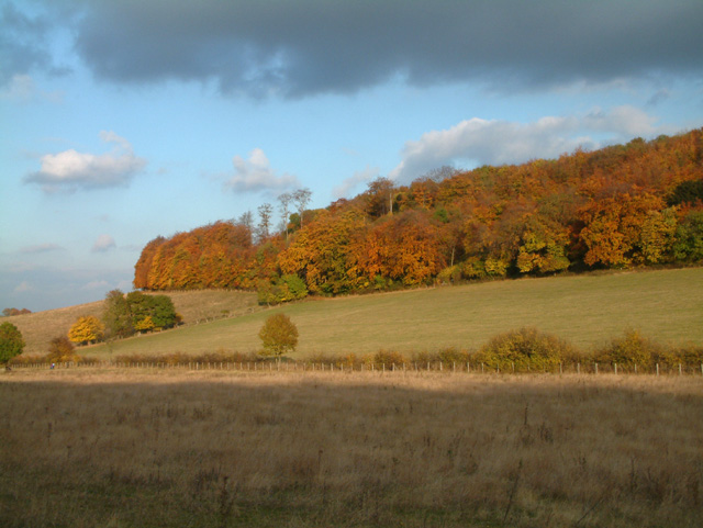
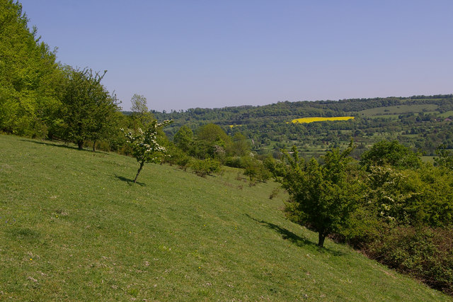
Meenfield Wood, located in the county of Kent, England, is a picturesque woodland area encompassing an area of approximately 100 acres. Situated near the village of Meenfield, the wood is part of the larger network of forests and woodlands in the region, contributing to the natural beauty of the surrounding landscape.
The wood is predominantly composed of a diverse range of tree species, including oak, beech, and birch, creating a rich and varied ecosystem. The dense canopy cover provides a habitat for a wide array of wildlife, including various bird species, small mammals, and insects. The wood is also home to several rare and protected species, further enhancing its ecological significance.
Meenfield Wood offers an ideal environment for outdoor enthusiasts and nature lovers to explore and enjoy. There are numerous well-maintained trails and footpaths that wind their way through the wood, allowing visitors to immerse themselves in its serene atmosphere. The wood is particularly popular among hikers, joggers, and families seeking a peaceful escape from the hustle and bustle of everyday life.
In addition to its natural beauty, Meenfield Wood also boasts a rich history. It has been a place of human activity for centuries, with evidence of ancient settlements, including burial mounds and remnants of old structures found within its boundaries. The wood continues to be a site of archaeological interest, attracting researchers and historians keen to uncover its past.
Overall, Meenfield Wood in Kent offers a tranquil and enchanting experience, combining natural splendor with historical significance. It is a place where visitors can connect with nature, appreciate its biodiversity, and delve into the region's fascinating past.
If you have any feedback on the listing, please let us know in the comments section below.
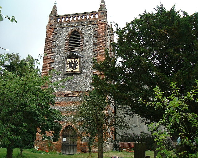
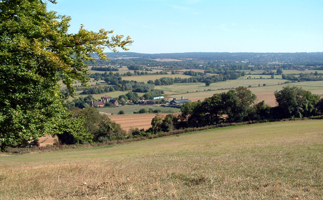
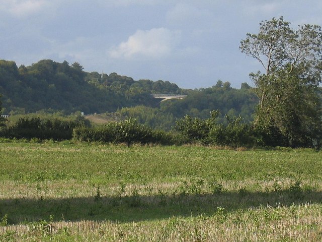
Meenfield Wood Images
Images are sourced within 2km of 51.333814/0.16876646 or Grid Reference TQ5161. Thanks to Geograph Open Source API. All images are credited.


Meenfield Wood is located at Grid Ref: TQ5161 (Lat: 51.333814, Lng: 0.16876646)
Administrative County: Kent
District: Sevenoaks
Police Authority: Kent
What 3 Words
///mile.outfit.camera. Near Otford, Kent
Nearby Locations
Related Wikis
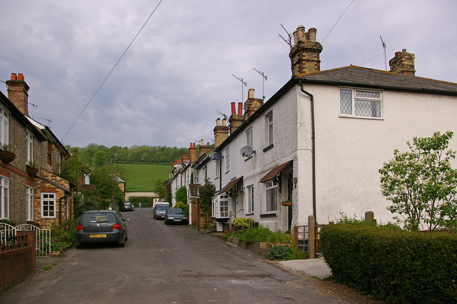
Shoreham, Kent
Shoreham is a village and civil parish in the Sevenoaks District of Kent, England. It is located 5.2 miles north of Sevenoaks. The probable derivation...

Shoreham Memorial Cross
The Shoreham Memorial Cross is a Christian cross hill figure carved into a chalk escarpment above the village of Shoreham, Kent. The concept of the cross...

Shoreham Aircraft Museum
The Shoreham Aircraft Museum is located in the village of Shoreham near Sevenoaks in Kent, England, on the south-east edge of Greater London. It was founded...

Sevenoaks (UK Parliament constituency)
Sevenoaks is a constituency in Kent represented in the House of Commons of the UK Parliament since 2019 by Laura Trott, a Conservative who has served as...

1934 London, Scottish & Provincial Airways Airspeed Courier crash
On 29 September 1934, an Airspeed Courier of London, Scottish & Provincial Airways Ltd crashed just north of Shoreham, Kent. The aircraft was on a scheduled...
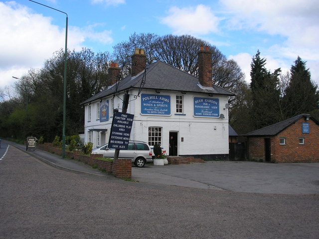
Polhill Bank
Polhill Bank is a 4-hectare (9.9-acre) nature reserve south of Shoreham, which is north of Sevenoaks in Kent. It is managed by Kent Wildlife Trust. It...
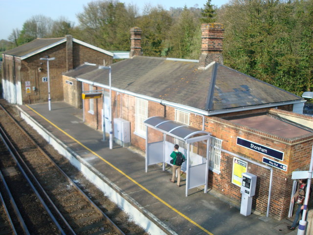
Shoreham railway station
Shoreham railway station serves Shoreham in Kent, England. It is 22 miles 52 chains (36.5 km) down the line from London Victoria and is situated between...

Badgers Mount
Badgers Mount is a village and civil parish in the Sevenoaks District of Kent, England It is located 3.6 miles south east of Orpington and 5.6 miles north...
Nearby Amenities
Located within 500m of 51.333814,0.16876646Have you been to Meenfield Wood?
Leave your review of Meenfield Wood below (or comments, questions and feedback).