Lodge Plantation

Wood, Forest in Cambridgeshire South Cambridgeshire

England

Lodge Plantation

Two Acre Plantation Two Acre Plantation viewed from footbridge over A11
Two Acre Plantation Credit: Oda Stoevesandt and Karsten Koehler

Lodge Plantation is a picturesque woodland located in Cambridgeshire, England. Situated in the heart of the county, this plantation is a haven of natural beauty, making it a popular destination for nature lovers and outdoor enthusiasts.

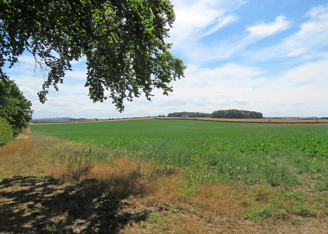
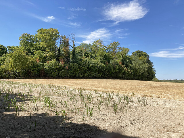
Covering an area of approximately 100 acres, Lodge Plantation is predominantly composed of a dense forest of native trees, including oak, beech, and birch. These towering trees provide a scenic canopy that offers shade and shelter to the wide variety of flora and fauna that call this woodland home.

Visitors to Lodge Plantation can enjoy a network of well-maintained trails that meander through the forest, providing opportunities for leisurely walks, hikes, and bike rides. The trails are well-signposted, ensuring that visitors can easily navigate their way through the woodland and discover its hidden gems.

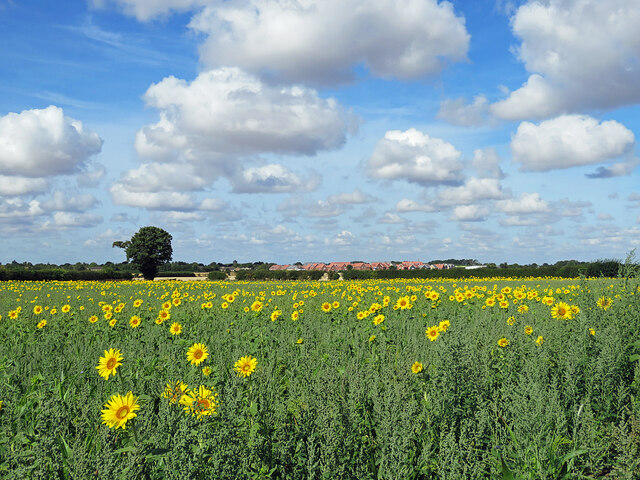
The plantation is also home to a diverse range of wildlife. Birdwatchers can spot a variety of species, including woodpeckers, owls, and warblers, while nature enthusiasts can keep an eye out for small mammals such as squirrels and rabbits. The woodland floor is adorned with vibrant wildflowers during the spring and summer months, adding a splash of color to the already picturesque landscape.

Lodge Plantation is managed by the local forestry commission, who work tirelessly to preserve and protect this natural treasure. They regularly undertake conservation efforts, ensuring that the woodland remains a thriving ecosystem for generations to come.

Overall, Lodge Plantation in Cambridgeshire offers visitors a tranquil escape into nature, with its beautiful forest, scenic trails, and abundant wildlife. It is a must-visit location for anyone seeking to reconnect with the great outdoors.

If you have any feedback on the listing, please let us know in the comments section below.

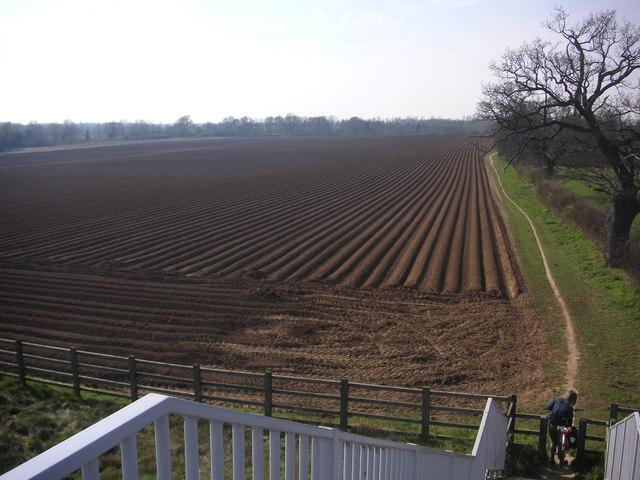
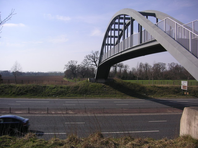
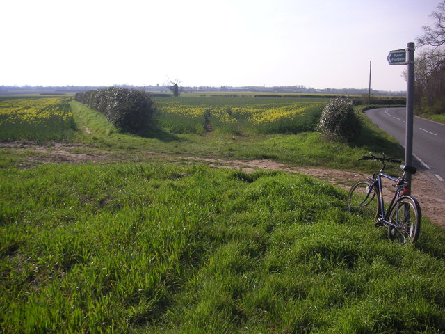
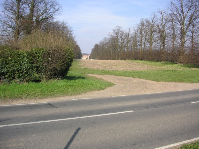
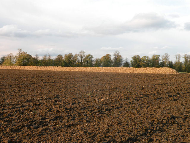
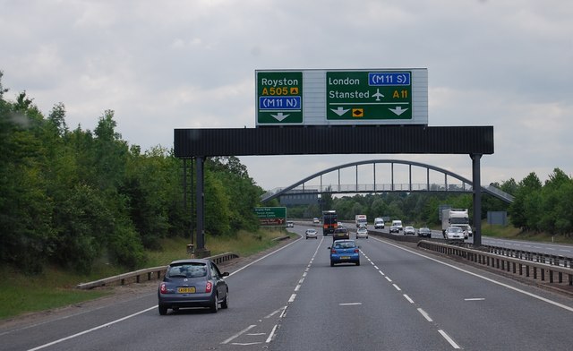
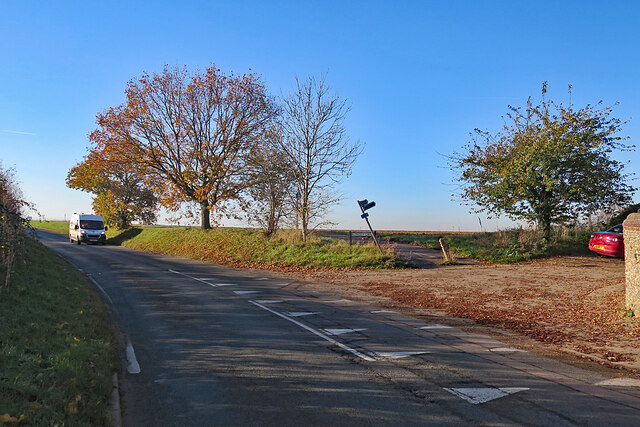
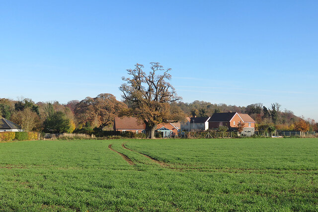
Lodge Plantation Images

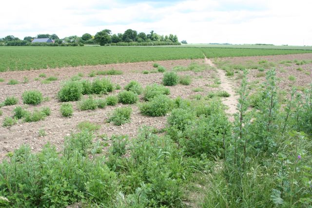
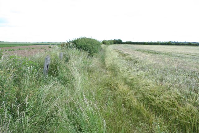
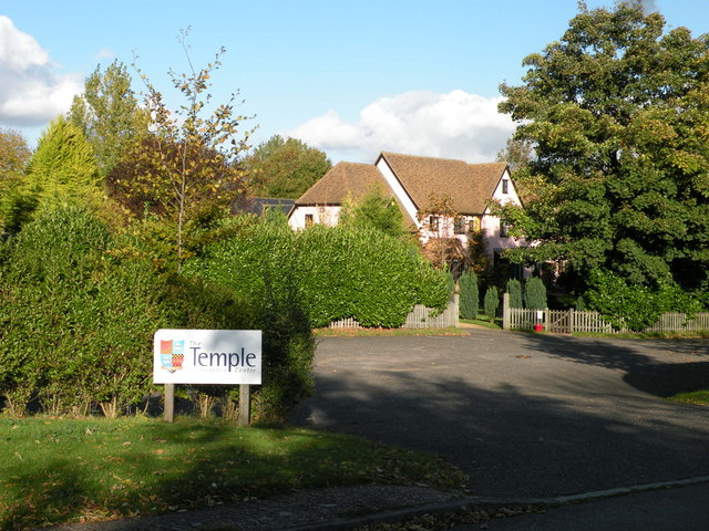
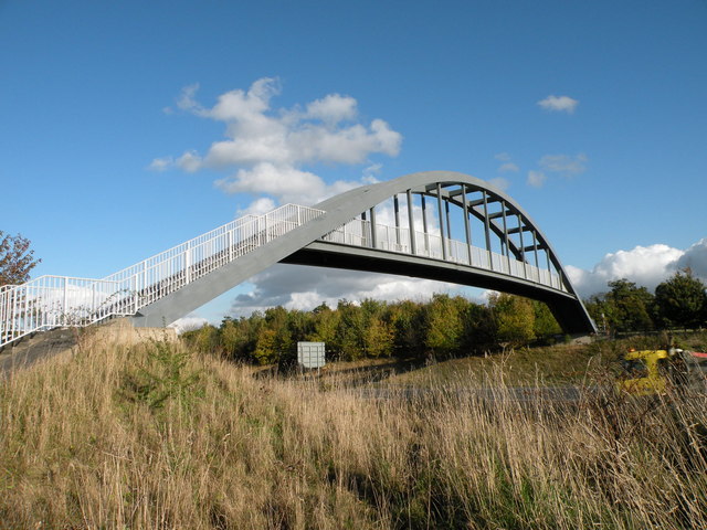
Images are sourced within 2km of 52.139352/0.20759915 or Grid Reference TL5151. Thanks to Geograph Open Source API. All images are credited.

Two Acre Plantation Two Acre Plantation viewed from footbridge over A11
Two Acre Plantation
Two Acre Plantation viewed from footbridge over A11
Footpath diverging from Sawston Road Footpath diverging from Sawston Road near Church Farm. At the horizon there are the buildings of Sawston visible.
Footpath diverging from Sawston Road
Footpath diverging from Sawston Road near Church Farm. At the horizon there are the buildings of Sawston visible.
Babraham Hall viewed from Sawston Road Babraham Hall viewed from Sawston Road near Church Farm
Babraham Hall viewed from Sawston Road
Babraham Hall viewed from Sawston Road near Church Farm
Track from Babraham to Sawston At this point it crosses a dismantled railway.
Track from Babraham to Sawston
At this point it crosses a dismantled railway.
Track from Babraham to Sawston Showing the line of the dismantled railway.
Track from Babraham to Sawston
Showing the line of the dismantled railway.
The Temple Centre A venue for Weddings and Conferences
The Temple Centre
A venue for Weddings and Conferences
Footbridge over the A11
The Great Wall of Sugar-Beet
The A11 approaching the A505 turn off The A505 connects with the M11 north.
The A11 approaching the A505 turn off
The A505 connects with the M11 north.
Roundabout Approach - Cambridge Road
Babraham: at the corner of Rowley Lane The skew-whiff fingerpost points along Rowley Lane, a track to Stapleford. The van is coming in to Babraham from Sawston or Pampisford.
Babraham: at the corner of Rowley Lane
The skew-whiff fingerpost points along Rowley Lane, a track to Stapleford. The van is coming in to Babraham from Sawston or Pampisford.
Babraham: over the hedge on Honeysuckle Lane The houses on the other side of the field were built quite recently.
Babraham: over the hedge on Honeysuckle Lane
The houses on the other side of the field were built quite recently.
Babraham: The George The George dates from the 17th century and is Grade II listed. High cloud was about to block the sun for half an hour or so.
Babraham: The George
The George dates from the 17th century and is Grade II listed. High cloud was about to block the sun for half an hour or so.
Towards Signal Hill and Meggs Hill The skyline plantations are on Signal Hill (left) and Meggs Hill, two of the gentle Gog Magog Hills south-east of Cambridge. The picture was taken from a field corner at the junction of The Roman Road (which the trees on the extreme left line) and Mile Road.
Towards Signal Hill and Meggs Hill
The skyline plantations are on Signal Hill (left) and Meggs Hill, two of the gentle Gog Magog Hills south-east of Cambridge. The picture was taken from a field corner at the junction of The Roman Road (which the trees on the extreme left line) and Mile Road.
Copley Hill in a dry summer Mid August in the drought summer of 2022 - and some of the leaves in the plantation on Copley Hill are turning while the rest have lost their high summer richness.
Copley Hill in a dry summer
Mid August in the drought summer of 2022 - and some of the leaves in the plantation on Copley Hill are turning while the rest have lost their high summer richness.
Towards Cambridge on The Roman Road Near Worsted Lodge on a fine Sunday morning in late August. In the drought summer of 2022 grass is parched and the path dry and hard. The plantations on the skyline are at Signal Hill and Meggs Hill, two of the gentle Gog Magog Hills south-east of Cambridge.
Towards Cambridge on The Roman Road
Near Worsted Lodge on a fine Sunday morning in late August. In the drought summer of 2022 grass is parched and the path dry and hard. The plantations on the skyline are at Signal Hill and Meggs Hill, two of the gentle Gog Magog Hills south-east of Cambridge.
Sunflowers, sky and the new edge of Sawston Looking west from the cycle path near Church Farm towards the red roofs of the new estate going up off Babraham Road, on the north-eastern edge of Sawston (in <a href="https://www.geograph.org.uk/gridref/TL4950">TL4950</a>).
Sunflowers, sky and the new edge of Sawston
Looking west from the cycle path near Church Farm towards the red roofs of the new estate going up off Babraham Road, on the north-eastern edge of Sawston (in TL4950).
Show me another place!

Lodge Plantation is located at Grid Ref: TL5151 (Lat: 52.139352, Lng: 0.20759915)

Administrative County: Cambridgeshire

District: South Cambridgeshire

Police Authority: Cambridgeshire

What 3 Words

///rebounded.shells.wing. Near Sawston, Cambridgeshire

Related Wikis

Babraham Institute

The Babraham Institute is a life sciences research institution focussing on healthy ageing. The Babraham Institute is based on the Babraham Research Campus...

Abington railway station (England)

Abington railway station served Little Abington, Great Abington and Babraham in Cambridgeshire. It closed in 1851, along with its line which was one of...

Roman Road, Cambridgeshire

The Roman Road in Cambridgeshire, also known as Worsted Street Roman Road, is a 12.4-hectare (31-acre) linear biological Site of Special Scientific Interest...

Babraham

Babraham is a village and civil parish in the South Cambridgeshire district of Cambridgeshire, England, about 6 miles (9.7 km) south-east of Cambridge...

Nearby Amenities

Located within 500m of 52.139352,0.20759915
Bus Stop
Cambridge Lodge
Naptan AtcoCode: 0500SBABR002
Naptan Bearing: SE
Naptan CommonName: Cambridge Lodge
Naptan Indicator: opp
Naptan Landmark: Cambridge Lodge
Naptan NaptanCode: cmbdtmtg
Naptan ShortCommonName: Cambridge Lodge
Naptan Street: Cambridge Road
Naptan Verified: no
Public Transport: platform
Source: naptan_import
Lat/Long: 52.1398235/0.2030604
Bus Stop
Cambridge Lodge
Naptan AtcoCode: 0500SBABR004
Naptan Bearing: NW
Naptan CommonName: Cambridge Lodge
Naptan Indicator: near
Naptan Landmark: Cambridge Lodge
Naptan NaptanCode: cmbdtmtm
Naptan ShortCommonName: Cambridge Lodge
Naptan Street: Cambridge Road
Naptan Verified: no
Public Transport: platform
Shelter: yes
Source: naptan_import
Lat/Long: 52.139764/0.2026853
Crossing
Crossing: marked
Lat/Long: 52.138471/0.2036697
Power: pole
Lat/Long: 52.1399861/0.204025
Power: pole
Lat/Long: 52.141545/0.2019222
Power: pole
Transformer: distribution
Lat/Long: 52.1408816/0.2028638
Power: pole
Lat/Long: 52.1392895/0.2129834
Power: pole
Lat/Long: 52.1400863/0.2092952
Power: pole
Lat/Long: 52.1391364/0.2051647
Power: pole
Lat/Long: 52.1390294/0.2143272
Power: pole
Lat/Long: 52.1398278/0.2104889
Power: pole
Lat/Long: 52.1395628/0.2117227
Power: pole
Lat/Long: 52.1395965/0.2063008
Crossing
Button Operated: yes
Crossing: traffic_signals
Crossing Ref: puffin
Segregated: no
Sloped Kerb: both
Tactile Paving: yes
Traffic Signals Sound: yes
Traffic Signals Vibration: yes
Lat/Long: 52.1400373/0.2024702
Crossing
Button Operated: yes
Crossing: traffic_signals
Crossing Ref: puffin
Segregated: no
Sloped Kerb: both
Tactile Paving: yes
Traffic Signals Sound: yes
Traffic Signals Vibration: yes
Lat/Long: 52.1399575/0.2023805
Turning Circle
Lat/Long: 52.1365399/0.2045679
Crossing
Crossing: marked
Lat/Long: 52.1355609/0.2037585
Barrier: lift_gate
Bicycle: yes
Entrance: main
Foot: yes
Ref University Of Cambridge: EXT/BABRAHAM-A
Vehicle: yes
Lat/Long: 52.1389847/0.2029484
Crossing
Crossing: marked
Lat/Long: 52.1357182/0.2038541
Crossing
Crossing: marked
Lat/Long: 52.1361356/0.2056348
Crossing
Crossing: unmarked
Lat/Long: 52.1357375/0.205555
Turning Circle
Lat/Long: 52.1355024/0.2048797
Turning Circle
Lat/Long: 52.1360393/0.2045244
Power: pole
Lat/Long: 52.1398402/0.2077934
The data included in this document is from www.openstreetmap.org. The data is made available under ODbL.

Have you been to Lodge Plantation?

Leave your review of Lodge Plantation below (or comments, questions and feedback).