Common Shaw
Wood, Forest in Sussex Wealden
England
Common Shaw

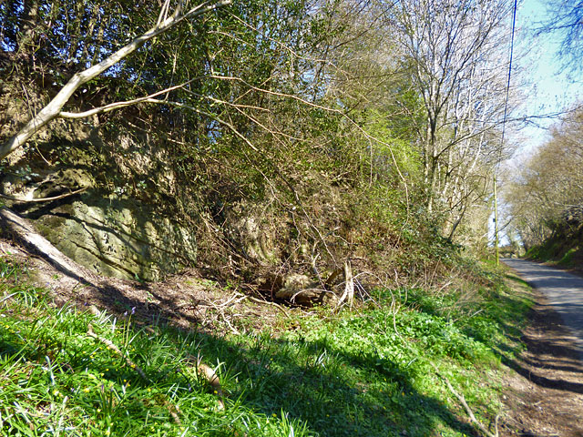
Common Shaw, Sussex is a picturesque woodland located in the southern region of England. Situated in the county of Sussex, specifically in the area known as the Weald, Common Shaw is well-known for its dense forest and natural beauty. Spanning approximately several square miles, this woodland is a popular destination for nature enthusiasts and hikers alike.
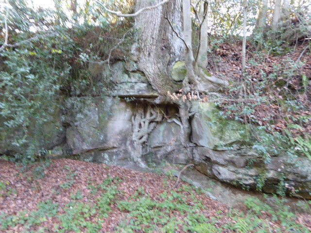
The woodland is characterized by its diverse vegetation, which includes a variety of trees such as oak, beech, and ash. The dense canopy provides shelter for an array of wildlife, including squirrels, deer, and a plethora of bird species. Common Shaw is also home to several rare and protected species, making it an important conservation area.
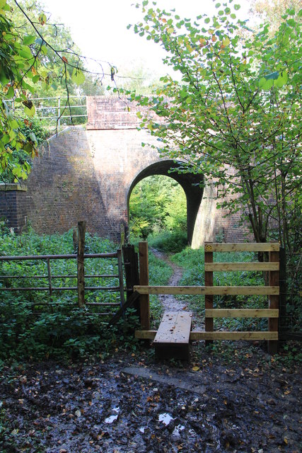
Visitors to Common Shaw can enjoy numerous walking trails that wind through the forest, offering breathtaking views of the surrounding landscape. These trails cater to all levels of fitness and provide an opportunity for visitors to immerse themselves in the tranquil ambiance of the woodland. In addition to hiking, Common Shaw also offers opportunities for bird watching, photography, and picnicking.
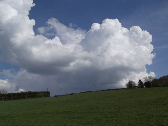
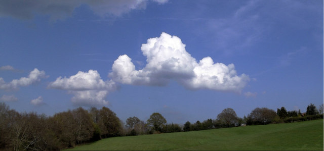
The woodland is easily accessible, with well-maintained paths and ample parking facilities. It is conveniently located near several small villages, allowing visitors to access amenities such as cafes, pubs, and visitor centers. Common Shaw is a popular destination throughout the year, with each season offering its own unique charm. In spring, the woodland comes alive with vibrant wildflowers, while autumn brings a stunning display of colorful foliage.
Overall, Common Shaw, Sussex is a captivating woodland that showcases the natural beauty of the Weald region. With its diverse flora and fauna, scenic trails, and peaceful atmosphere, it is a must-visit destination for nature lovers and those seeking a respite from the hustle and bustle of everyday life.
If you have any feedback on the listing, please let us know in the comments section below.
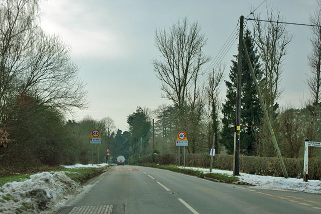
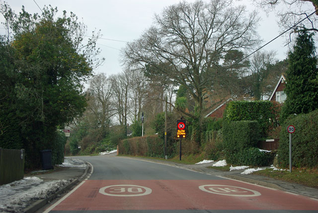
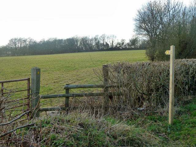
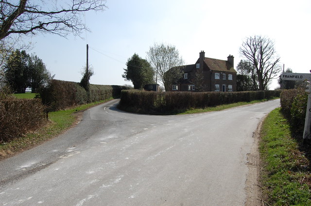
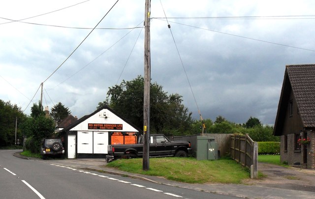
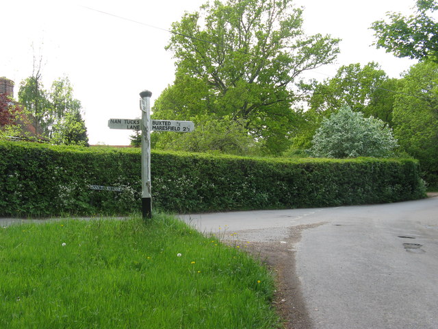
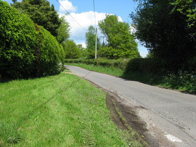
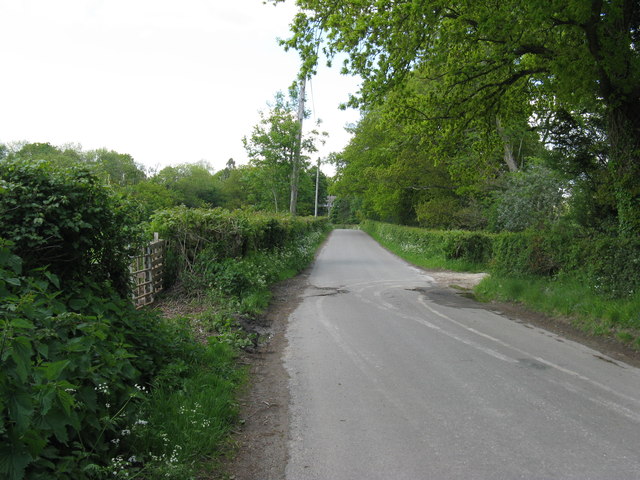
Common Shaw Images
Images are sourced within 2km of 51.001488/0.15050845 or Grid Reference TQ5024. Thanks to Geograph Open Source API. All images are credited.


Common Shaw is located at Grid Ref: TQ5024 (Lat: 51.001488, Lng: 0.15050845)
Administrative County: East Sussex
District: Wealden
Police Authority: Sussex
What 3 Words
///backs.lushly.legs. Near Buxted, East Sussex
Nearby Locations
Related Wikis

Stockland Farm Meadows
Stockland Farm Meadows is a 5.8-hectare (14-acre) biological Site of Special Scientific Interest south of Crowborough in East Sussex.These two species...
Hastingford Cutting
Hastingford Cutting is a 0.04-hectare (0.099-acre) geological Site of Special Scientific Interest south of Crowborough in East Sussex. It is a Geological...

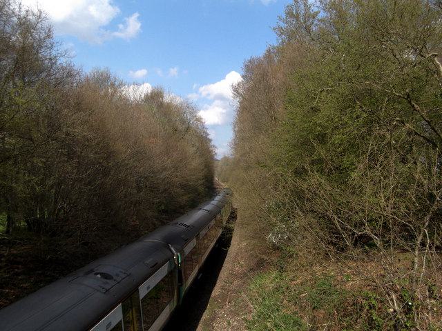
Buxted railway station
Buxted railway station is on the Uckfield branch of the Oxted Line in England, serving the village of Buxted, East Sussex. It is 43 miles 68 chains (70...

Buxted
Buxted is a village and civil parish in the Wealden district of East Sussex in England. The parish is situated on the Weald, north of Uckfield; the settlements...

Vanguard Way
The Vanguard Way is a long-distance walk of 66.2 mi (106.5 km) from East Croydon station in outer London (OS grid reference TQ328658), travelling from...

St Mark's Church, Hadlow Down
St Mark's Church (dedicated to St Mark the Evangelist) is an Anglican church in the village of Hadlow Down in the district of Wealden, one of six local...

Hadlow Down
Hadlow Down is a village and civil parish in the Wealden District of East Sussex, England. It is located on the A272 road three miles (4.8 km) north-west...
Etchingwood
Etchingwood is a small cluster of mostly detached properties and farms within the civil parish of Buxted in the Wealden district of East Sussex, England...
Nearby Amenities
Located within 500m of 51.001488,0.15050845Have you been to Common Shaw?
Leave your review of Common Shaw below (or comments, questions and feedback).