Broom Wood

Wood, Forest in Essex Uttlesford

England

Broom Wood

Houses on Rickling Green The tree stump has been cut since a nice tree was there in 2009
Houses on Rickling Green Credit: David Howard

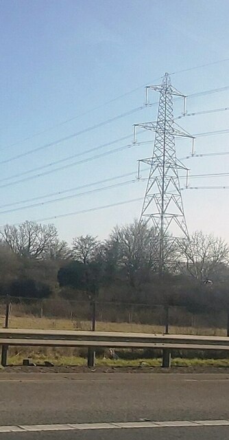
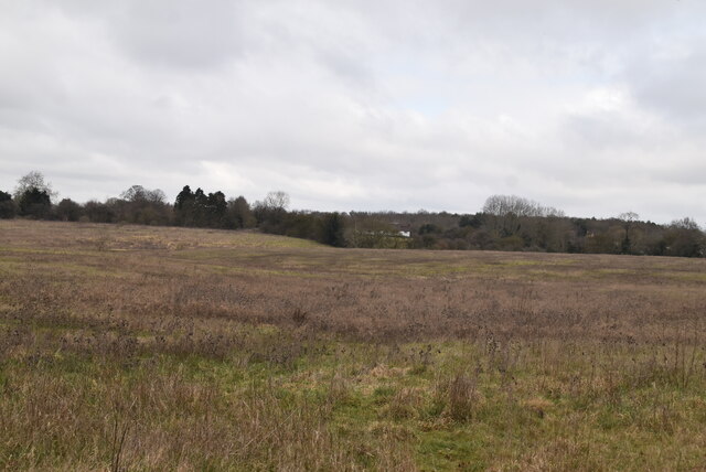
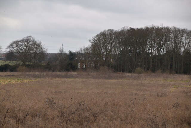
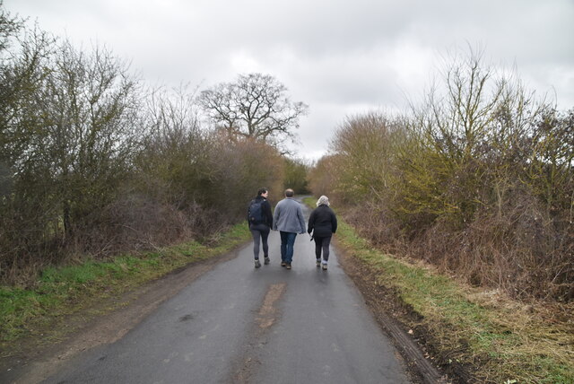
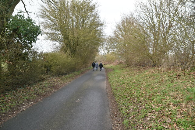
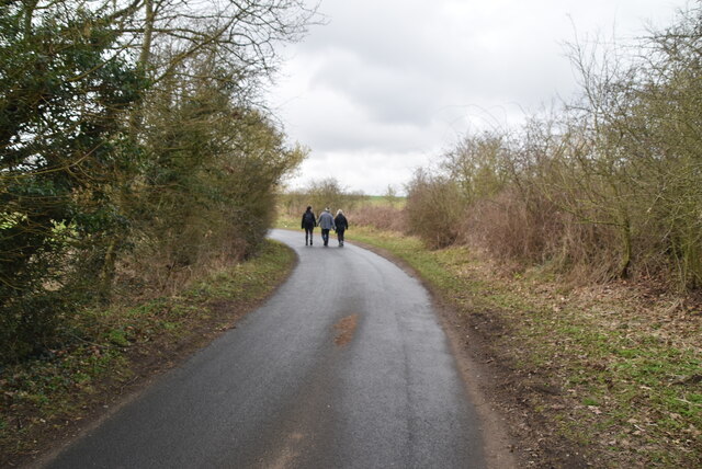
Broom Wood is a beautiful woodland located in the county of Essex, England. Spread across an area of approximately 100 acres, this enchanting forest offers a serene and picturesque environment for nature enthusiasts and visitors alike.

The wood is predominantly composed of native broadleaf trees such as oak, beech, and birch. The dense canopy formed by these towering trees creates a cool and shaded atmosphere, making it an ideal destination for those seeking solace in nature. The forest floor is covered in a rich carpet of ferns, bluebells, and wildflowers, adding a vibrant splash of color to the surroundings.

Broom Wood is home to a diverse range of wildlife. Visitors may be lucky enough to spot various bird species such as woodpeckers, jays, and owls, as well as small mammals like foxes, squirrels, and rabbits. The wood is also known to host a variety of insects, including butterflies and dragonflies, which thrive in the lush vegetation.

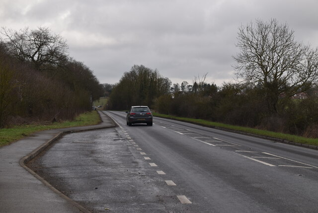
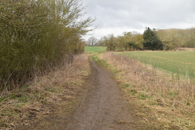
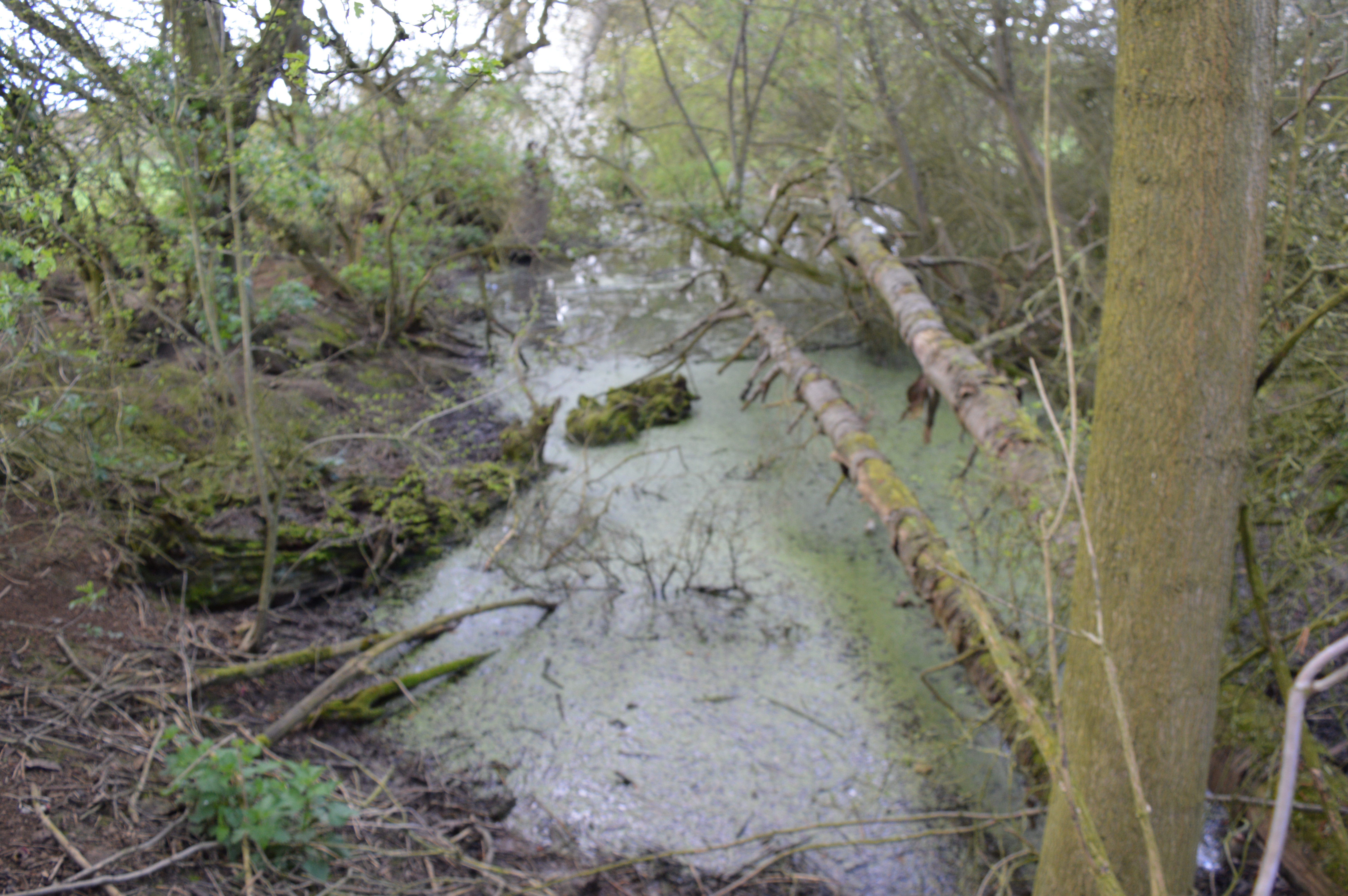
The woodland provides several walking trails, allowing visitors to explore the area at their own pace. These trails wind through the forest, offering glimpses of tranquil ponds and streams along the way. It is a popular spot for hiking, picnicking, and photography, attracting both locals and tourists who seek to immerse themselves in the natural beauty of the area.

Overall, Broom Wood in Essex is a truly enchanting destination, offering a tranquil and scenic retreat from the hustle and bustle of everyday life.

If you have any feedback on the listing, please let us know in the comments section below.

Broom Wood Images

Images are sourced within 2km of 51.934639/0.19481472 or Grid Reference TL5028. Thanks to Geograph Open Source API. All images are credited.

Houses on Rickling Green The tree stump has been cut since a nice tree was there in 2009
Houses on Rickling Green
The tree stump has been cut since a nice tree was there in 2009
Brick Kiln Lane, Rickling Green
Electricity Pylon by the M11
Rough ground and grasses
Rough pasture
Rough pasture
B1383 The B1383 runs 17.5 miles from Bishop Stortford to Stump Cross.
<span class="nowrap"><a title="https://www.sabre-roads.org.uk/wiki/index.php?title=B1383" rel="nofollow ugc noopener" href="https://www.sabre-roads.org.uk/wiki/index.php?title=B1383">Link</a><img style="margin-left:2px;" alt="External link" title="External link - shift click to open in new window" src="https://s1.geograph.org.uk/img/external.png" width="10" height="10"/></span>
B1383
The B1383 runs 17.5 miles from Bishop Stortford to Stump Cross. LinkExternal link
Entering Ugley, B1383 The B1383 runs 17.5 miles from Bishop Stortford to Stump Cross.
<span class="nowrap"><a title="https://www.sabre-roads.org.uk/wiki/index.php?title=B1383" rel="nofollow ugc noopener" href="https://www.sabre-roads.org.uk/wiki/index.php?title=B1383">Link</a><img style="margin-left:2px;" alt="External link" title="External link - shift click to open in new window" src="https://s1.geograph.org.uk/img/external.png" width="10" height="10"/></span>
Entering Ugley, B1383
The B1383 runs 17.5 miles from Bishop Stortford to Stump Cross. LinkExternal link
Pennington Lane
Pennington Lane
Pennington Lane
Pennington Lane
Pennington Lane
Pennington Lane
Bridleway
Bridleway
Bridleway to Bollington Hall
Arable land, Essex
Arable land, Essex
Field edge bridleway
Arable field
Arable field
Bridleway
Bridleway
Arable landscape
Arable landscape
Show me another place!

Broom Wood is located at Grid Ref: TL5028 (Lat: 51.934639, Lng: 0.19481472)

Administrative County: Essex

District: Uttlesford

Police Authority: Essex

What 3 Words

///unleashed.probably.hazy. Near Elsenham, Essex

Nearby Locations

Broom Wood Burney Wood

Related Wikis

Hall's Quarry

Hall's Quarry is a 0.8-hectare (2.0-acre) geological Site of Special Scientific Interest north-west of Ugley Green in Essex. It is a Geological Conservation...
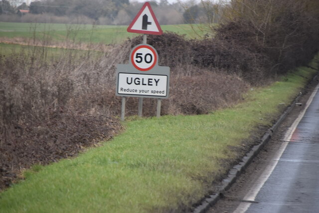
Ugley

Ugley is a small village and civil parish in the non-metropolitan district of Uttlesford in Essex, England. It is about 2 miles (3 km) north from Stansted...

Quendon Wood

Quendon Wood is a 32.1-hectare (79-acre) biological Site of Special Scientific Interest in Quendon in Essex.The site is ancient coppiced woodland with...

Orford House

Orford House is a country house in the small medieval hamlet of Ugley, Essex, England. == History == The house was built for Edward Russell, who went on...

Quendon and Rickling

Quendon and Rickling is a civil parish in the Uttlesford district of Essex, England with an area of 2,048 acres. The population of the civil parish at...

Ugley Green

Ugley Green is a small village in the district of Uttlesford in Essex, England. It is approximately 6 miles (10 km) north-east from Bishops Stortford,...

Quendon

Quendon is a linear village and former civil parish, now in the parish of Quendon and Rickling, in the Uttlesford district, in the county of Essex, England...

Aubrey Buxton Nature Reserve

Aubrey Buxton Nature Reserve is a 9.7-hectare (24-acre) nature reserve west of Elsenham in Essex. It was donated to the Essex Wildlife Trust by Aubrey...

Nearby Amenities

Located within 500m of 51.934639,0.19481472
Power: tower
Lat/Long: 51.9382568/0.1959746
Bus Stop
Vicarage Lane
Bus: yes
Naptan AtcoCode: 150018011018
Naptan Bearing: N
Naptan CommonName: Vicarage Lane
Naptan Crossing: Vicarage Lane
Naptan Indicator: Adj
Naptan Landmark: Vicarage Lane
Naptan NaptanCode: esxdatdg
Naptan Street: London Road
Naptan Verified: no
Public Transport: platform
Source: naptan_import
Lat/Long: 51.9316514/0.1992666
Bus Stop
Vicarage Lane
Bus: yes
Naptan AtcoCode: 150018011019
Naptan Bearing: S
Naptan CommonName: Vicarage Lane
Naptan Crossing: Vicarage Lane
Naptan Indicator: Opp
Naptan Landmark: Vicarage Lane
Naptan NaptanCode: esxdatdj
Naptan Street: London Road
Naptan Verified: no
Public Transport: platform
Source: naptan_import
Lat/Long: 51.9319653/0.199311
Bus Stop
The Chequers
Bus: yes
Naptan AtcoCode: 1500IM1066
Naptan Bearing: S
Naptan CommonName: The Chequers
Naptan Indicator: o/s
Naptan Landmark: The Chequers
Naptan NaptanCode: esxdgamw
Naptan Street: London Road
Naptan Verified: no
Public Transport: platform
Source: naptan_import
Lat/Long: 51.9372865/0.1984801
Bus Stop
The Chequers
Bus: yes
Naptan AtcoCode: 1500IM1066AA
Naptan Bearing: N
Naptan BusStopType: CUS
Naptan CommonName: The Chequers
Naptan Indicator: Opp
Naptan Landmark: The Chequers
Naptan NaptanCode: esxgptmj
Naptan Street: London Road
Naptan Verified: no
Public Transport: platform
Source: naptan_import
Lat/Long: 51.9373007/0.1983046
Power: tower
Lat/Long: 51.9375946/0.191718
Barrier: stile
Lat/Long: 51.9378696/0.1983657
Post Box
Brand: Royal Mail
Brand Wikidata: Q638098
Operator: Royal Mail
Operator Wikidata: Q638098
Post Box Type: wall
Ref: CM22 42D
Royal Cypher: EVIIR
Royal Cypher Wikidata: Q33102324
Source: survey
Lat/Long: 51.937801/0.1985702
Bench
Lat/Long: 51.9380601/0.1985823
Hunting Stand
Lat/Long: 51.9342737/0.1942839
Hunting Stand
Lat/Long: 51.9359489/0.1954962
The data included in this document is from www.openstreetmap.org. The data is made available under ODbL.

Have you been to Broom Wood?

Leave your review of Broom Wood below (or comments, questions and feedback).