Stones Rough
Wood, Forest in Sussex Wealden
England
Stones Rough

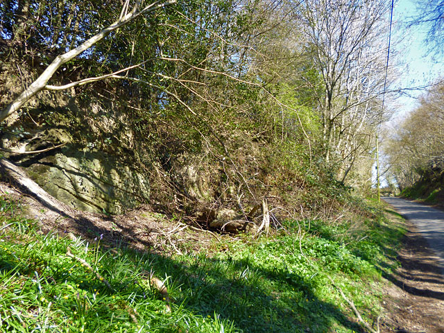
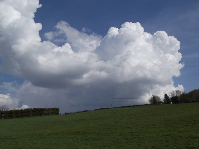
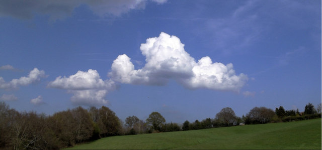
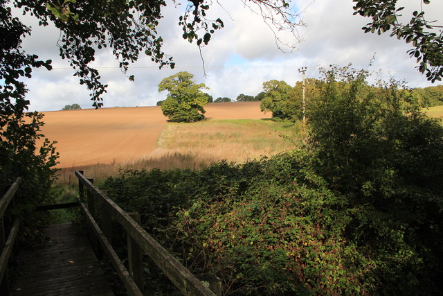
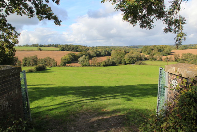
Stones Rough is a picturesque woodland area located in Sussex, England. Situated near the village of Wood, this enchanting forest is renowned for its natural beauty and tranquility. Spanning over several acres, Stones Rough offers visitors a diverse range of flora, fauna, and stunning landscapes.
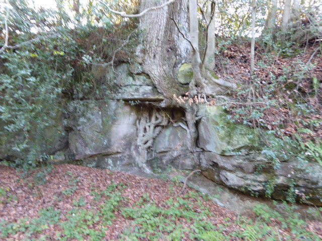
The woodland is predominantly composed of towering oak trees that provide a majestic canopy overhead. The forest floor is adorned with a rich carpet of moss, wildflowers, and ferns, creating a vibrant and lush environment. The peaceful ambiance is further enhanced by the gentle rustling of leaves and the melodic chirping of birds.
Stones Rough is home to a variety of wildlife, making it an ideal destination for nature enthusiasts and wildlife photographers. Visitors may spot a range of species, including deer, foxes, badgers, and a plethora of bird species such as woodpeckers and owls. The forest is also home to a diverse array of insects and small mammals, adding to the biodiversity of the area.
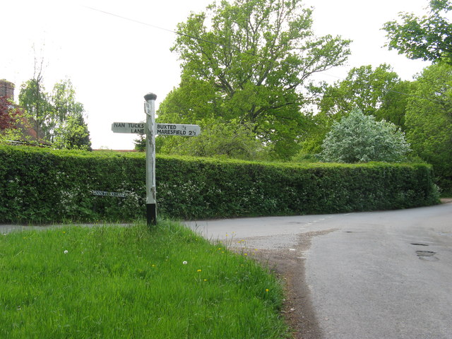
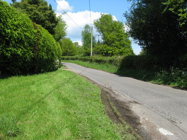
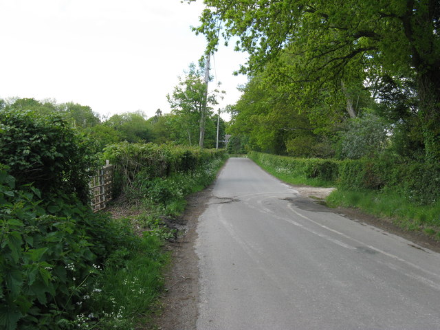
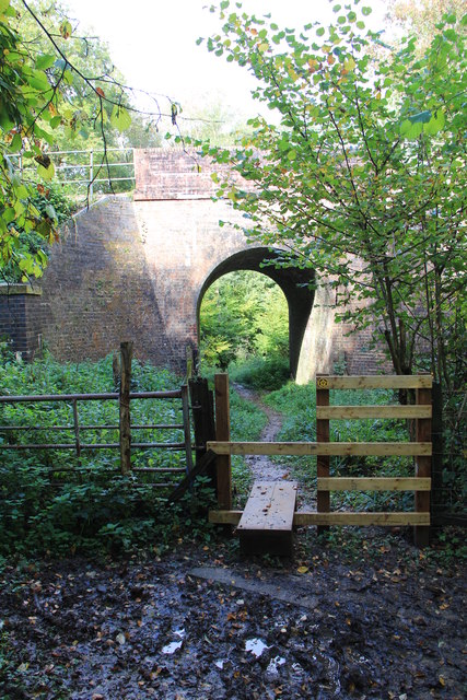
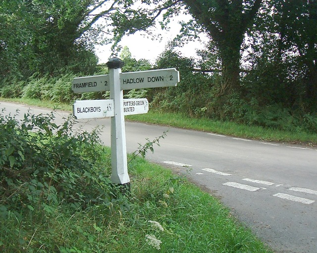
The woodland offers several walking trails and pathways, allowing visitors to explore its beauty at their own pace. These well-maintained paths wind through the forest, leading to hidden clearings and secluded spots where one can pause and immerse themselves in the serenity of nature. Stones Rough is a popular destination for hiking, picnicking, and simply relaxing amidst the natural splendor.
Overall, Stones Rough, Sussex is a captivating woodland retreat that offers a serene escape from the hustle and bustle of daily life. Its breathtaking landscapes, abundant wildlife, and peaceful atmosphere make it a must-visit destination for anyone seeking solace in the beauty of nature.
If you have any feedback on the listing, please let us know in the comments section below.
Stones Rough Images
Images are sourced within 2km of 50.999545/0.14611429 or Grid Reference TQ5024. Thanks to Geograph Open Source API. All images are credited.


Stones Rough is located at Grid Ref: TQ5024 (Lat: 50.999545, Lng: 0.14611429)
Administrative County: East Sussex
District: Wealden
Police Authority: Sussex
What 3 Words
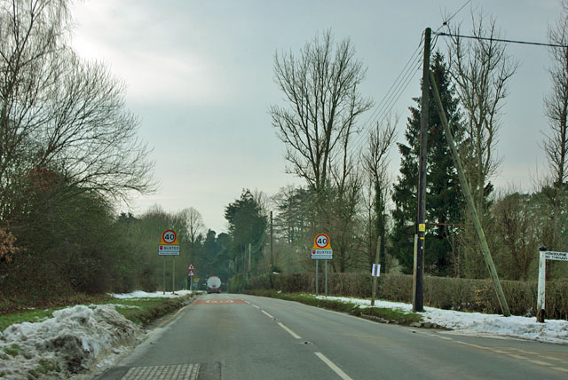
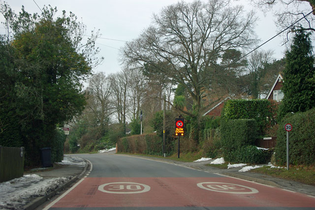
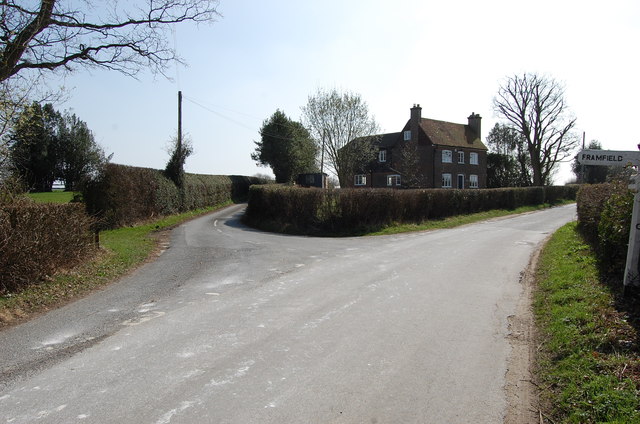
///hats.slack.marmalade. Near Buxted, East Sussex
Nearby Locations
Related Wikis

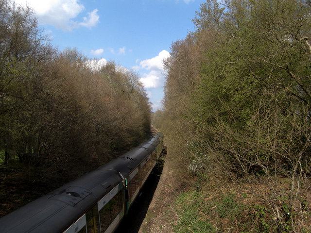
Buxted railway station
Buxted railway station is on the Uckfield branch of the Oxted Line in England, serving the village of Buxted, East Sussex. It is 43 miles 68 chains (70...

Buxted
Buxted is a village and civil parish in the Wealden district of East Sussex in England. The parish is situated on the Weald, north of Uckfield; the settlements...

Vanguard Way
The Vanguard Way is a long-distance walk of 66.2 mi (106.5 km) from East Croydon station in outer London (OS grid reference TQ328658), travelling from...
Etchingwood
Etchingwood is a small cluster of mostly detached properties and farms within the civil parish of Buxted in the Wealden district of East Sussex, England...

Stockland Farm Meadows
Stockland Farm Meadows is a 5.8-hectare (14-acre) biological Site of Special Scientific Interest south of Crowborough in East Sussex.These two species...
Hastingford Cutting
Hastingford Cutting is a 0.04-hectare (0.099-acre) geological Site of Special Scientific Interest south of Crowborough in East Sussex. It is a Geological...
High Hurstwood
High Hurstwood is a village in the Wealden district of East Sussex. == External links == High Hurstwood village history Holy Trinity Church, High Hurstwood...

St Mark's Church, Hadlow Down
St Mark's Church (dedicated to St Mark the Evangelist) is an Anglican church in the village of Hadlow Down in the district of Wealden, one of six local...
Nearby Amenities
Located within 500m of 50.999545,0.14611429Have you been to Stones Rough?
Leave your review of Stones Rough below (or comments, questions and feedback).