Kiln Wood
Wood, Forest in Kent Sevenoaks
England
Kiln Wood
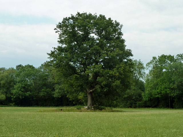
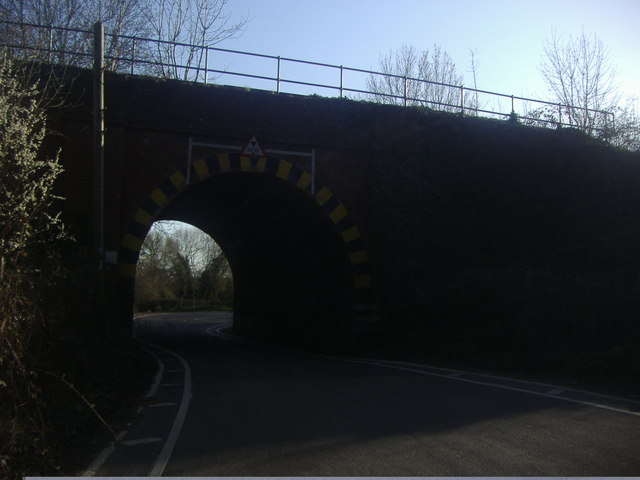
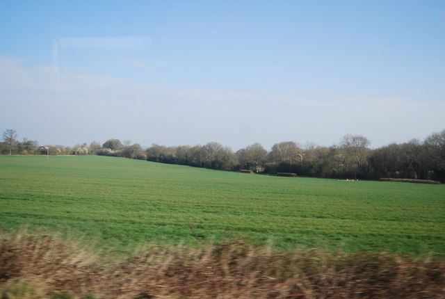
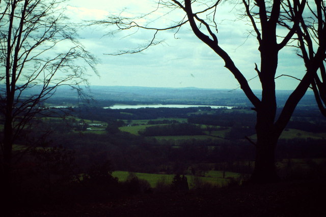
Kiln Wood is a picturesque woodland located in Kent, England. Covering an area of approximately 100 acres, it is situated near the village of Hildenborough, just a few miles from the larger town of Sevenoaks. The wood is part of the wider High Weald Area of Outstanding Natural Beauty, which is renowned for its stunning landscapes and diverse wildlife.
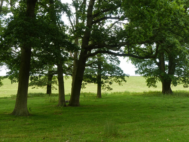
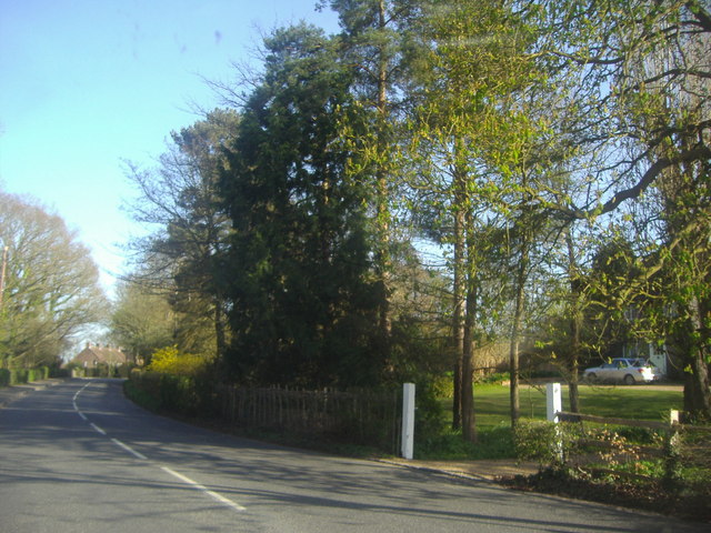
The woodland is predominantly made up of native broadleaf trees, such as oak, beech, and chestnut, creating a rich and varied habitat for a multitude of plant and animal species. Bluebells carpet the forest floor in the spring, providing a striking display of vibrant color.
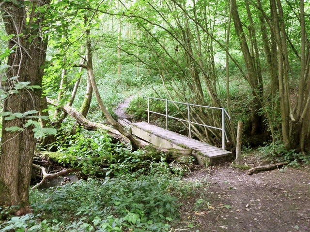
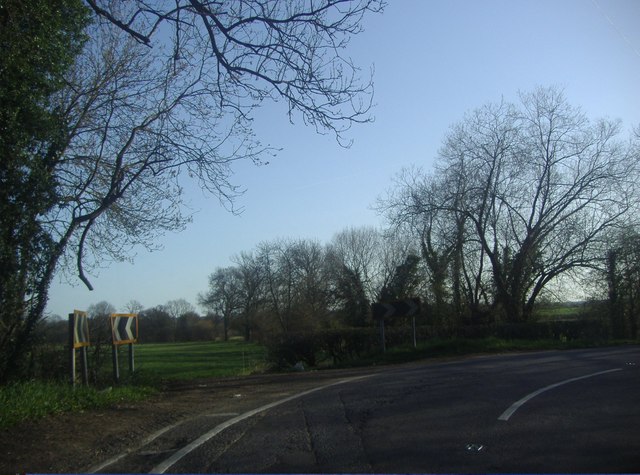
Kiln Wood is a popular destination for nature enthusiasts, hikers, and walkers. It offers a network of well-maintained trails that wind through the woodland, allowing visitors to explore its beauty at their own pace. The paths meander alongside babbling brooks, through sun-dappled glades, and up gentle inclines, offering breathtaking views of the surrounding countryside.
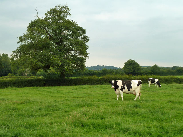
The wood is home to a diverse range of wildlife, including deer, foxes, badgers, and a variety of bird species. Birdwatchers will delight in the opportunity to spot species such as woodpeckers, owls, and warblers in their natural habitat.
For those seeking tranquility and a connection with nature, Kiln Wood provides a peaceful escape from the hustle and bustle of everyday life. Its natural beauty and serene atmosphere make it a true gem in the heart of Kent.
If you have any feedback on the listing, please let us know in the comments section below.
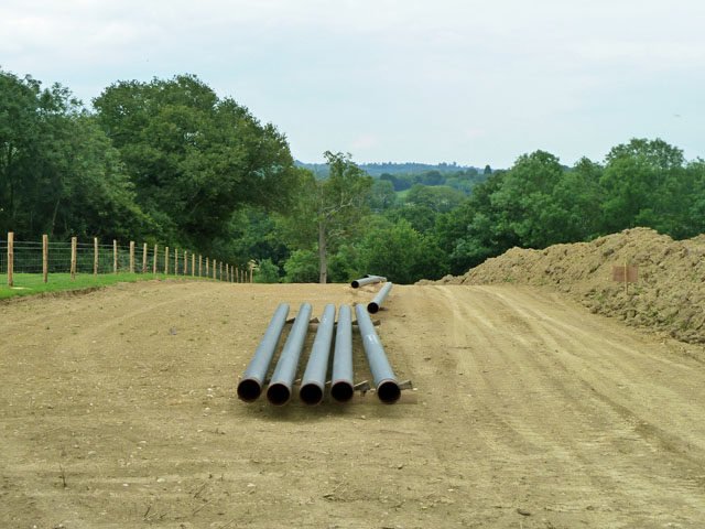
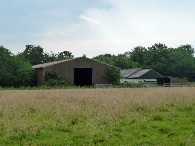
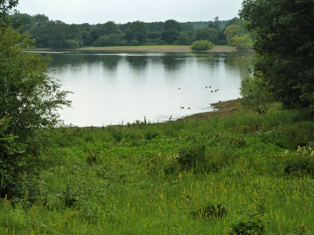
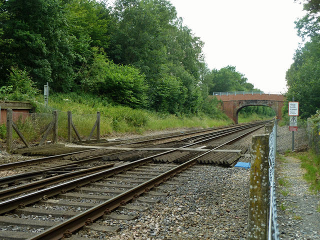
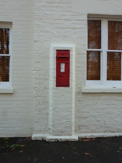
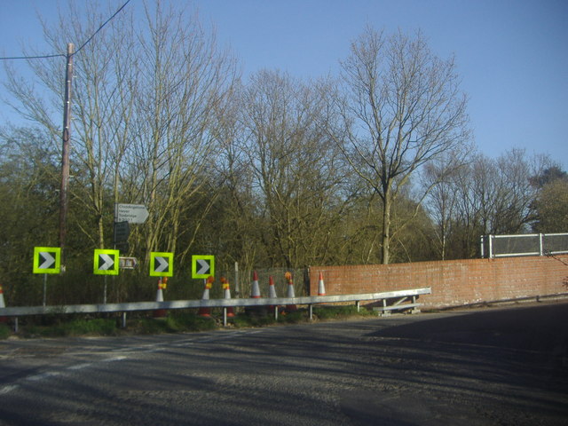
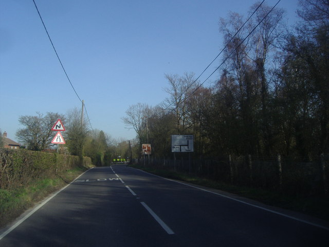
Kiln Wood Images
Images are sourced within 2km of 51.213427/0.14557814 or Grid Reference TQ4948. Thanks to Geograph Open Source API. All images are credited.

Kiln Wood is located at Grid Ref: TQ4948 (Lat: 51.213427, Lng: 0.14557814)
Administrative County: Kent
District: Sevenoaks
Police Authority: Kent
What 3 Words
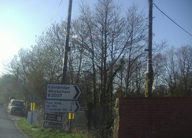
///shine.slowly.curvy. Near Edenbridge, Kent
Nearby Locations
Related Wikis

Polebrook Farm
Polebrook Farm is a 13-hectare (32-acre) biological Site of Special Scientific Interest south of Sevenoaks in Kent, England.The field layout of this farm...

Bore Place
Bore Place (also Boar Place) was the country seat of the manor of Milbroke in Kent. The manor house was constructed in around 1745. It was originally named...
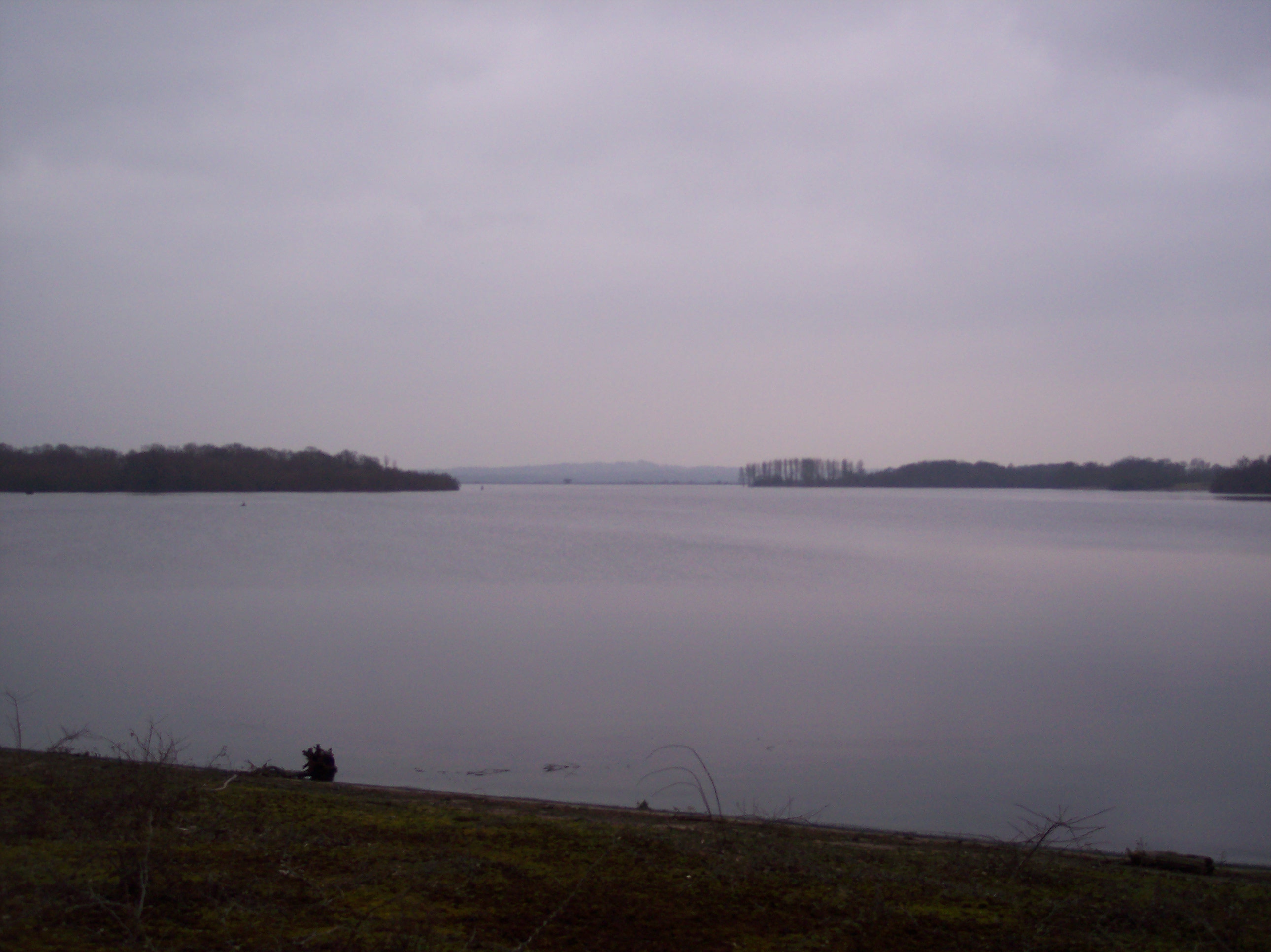
Bough Beech Reservoir
Bough Beech Reservoir is a 42-hectare (100-acre) nature reserve in Bough Beech, south-west of Sevenoaks in Kent. It was managed by the Kent Wildlife Trust...

Bough Beech
Bough Beech is a hamlet in the county of Kent, England, and is south of the Bough Beech Reservoir. It is located approximately three miles east of Edenbridge...

Penshurst railway station
Penshurst railway station is on the Redhill to Tonbridge Line and is located approximately two miles north of Penshurst in Kent, in the village of Chiddingstone...

Chiddingstone Causeway
Chiddingstone Causeway is a village 4 miles (6 km) west of Tonbridge in Kent, England. It is within the Sevenoaks local government district. It is in the...

St Luke's Church, Chiddingstone Causeway
St Luke's is a Grade II* listed Church of England church in Chiddingstone Causeway, Kent. It was built in 1897–1898 to a design by John Francis Bentley...

St. Mary the Virgin, Chiddingstone
St. Mary the Virgin is a parish church in the united benefice of Chiddingstone, Penshurst, Chiddingstone Causeway and Fordcombe in the episcopal Diocese...
Nearby Amenities
Located within 500m of 51.213427,0.14557814Have you been to Kiln Wood?
Leave your review of Kiln Wood below (or comments, questions and feedback).