Climsacre Wood
Wood, Forest in Kent Sevenoaks
England
Climsacre Wood
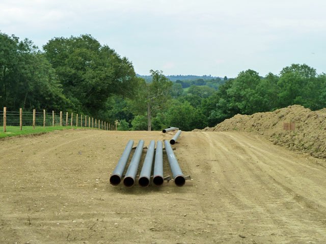
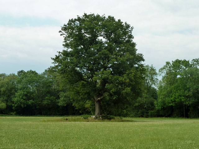
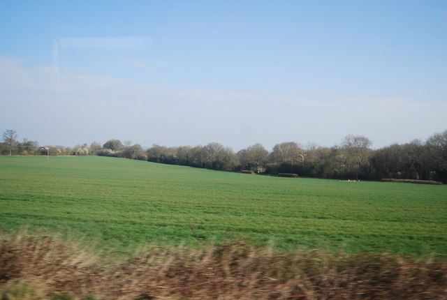
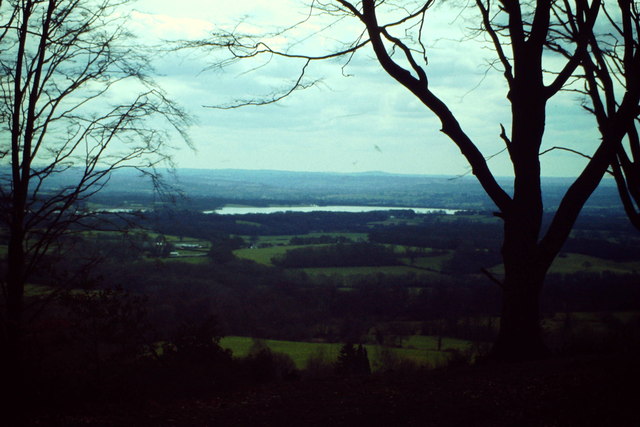
Climsacre Wood is a picturesque woodland located in the county of Kent, England. Covering an area of approximately 100 acres, it is situated near the village of Climsacre and is known for its natural beauty and diverse ecosystem.
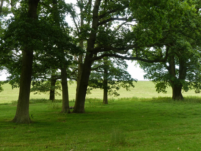
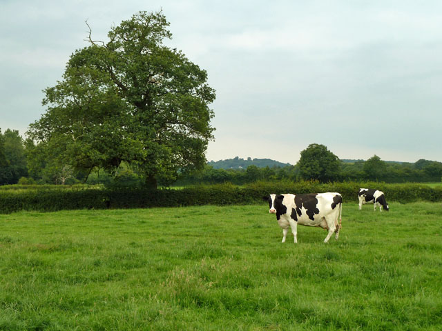
The wood is predominantly composed of deciduous trees, including oak, beech, and birch, which provide a vibrant display of colors throughout the seasons. This diversity attracts a wide range of wildlife, making it a popular destination for nature enthusiasts and birdwatchers. Common sightings include various species of birds, such as woodpeckers, finches, and owls, as well as small mammals like foxes, badgers, and squirrels.
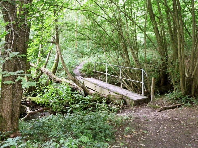
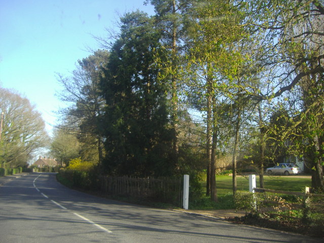
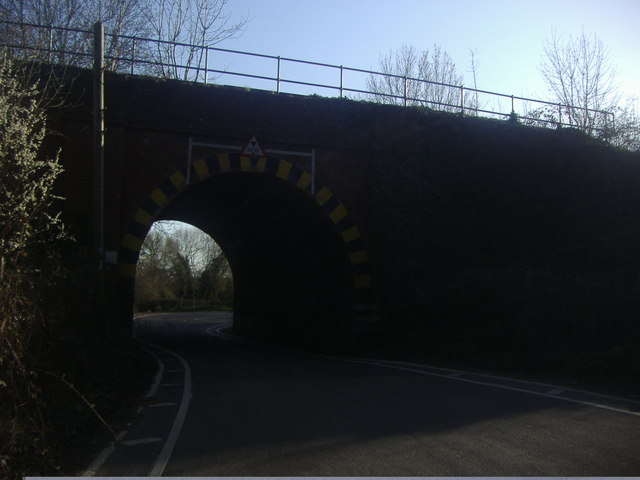
Climsacre Wood is crisscrossed by a network of well-maintained footpaths, allowing visitors to explore its enchanting surroundings. The paths wind their way through the wood, leading to secluded clearings, babbling brooks, and serene ponds, creating a tranquil and peaceful atmosphere.
In addition to its natural wonders, the wood also has a rich historical significance. It is believed to have been part of a larger ancient forest that once covered the region, and remnants of this past can still be seen today. Archaeological findings suggest that the wood has been inhabited since prehistoric times, and there are traces of ancient settlements and burial sites within its boundaries.
Overall, Climsacre Wood in Kent offers a delightful escape from the hustle and bustle of modern life. With its stunning flora and fauna, peaceful ambiance, and historical significance, it is a place that appeals to both nature lovers and those interested in the region's past.
If you have any feedback on the listing, please let us know in the comments section below.
Climsacre Wood Images
Images are sourced within 2km of 51.214741/0.14309041 or Grid Reference TQ4948. Thanks to Geograph Open Source API. All images are credited.

Climsacre Wood is located at Grid Ref: TQ4948 (Lat: 51.214741, Lng: 0.14309041)
Administrative County: Kent
District: Sevenoaks
Police Authority: Kent
What 3 Words
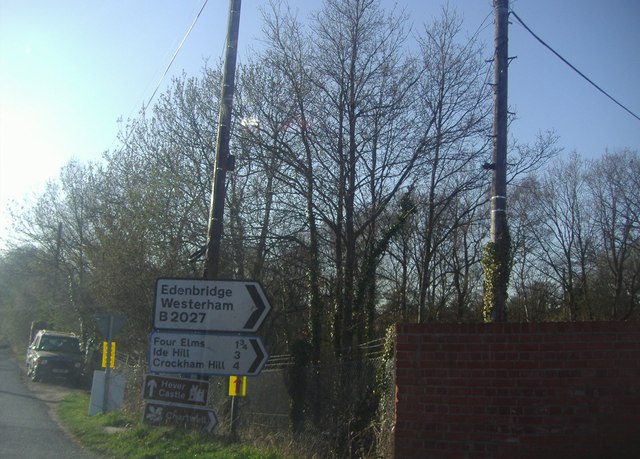
///outfit.coast.rams. Near Edenbridge, Kent
Nearby Locations
Related Wikis

Bore Place
Bore Place (also Boar Place) was the country seat of the manor of Milbroke in Kent. The manor house was constructed in around 1745. It was originally named...

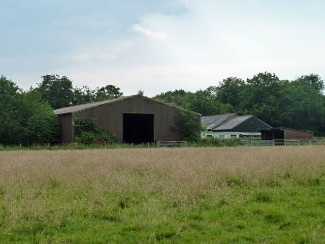
Polebrook Farm
Polebrook Farm is a 13-hectare (32-acre) biological Site of Special Scientific Interest south of Sevenoaks in Kent, England.The field layout of this farm...
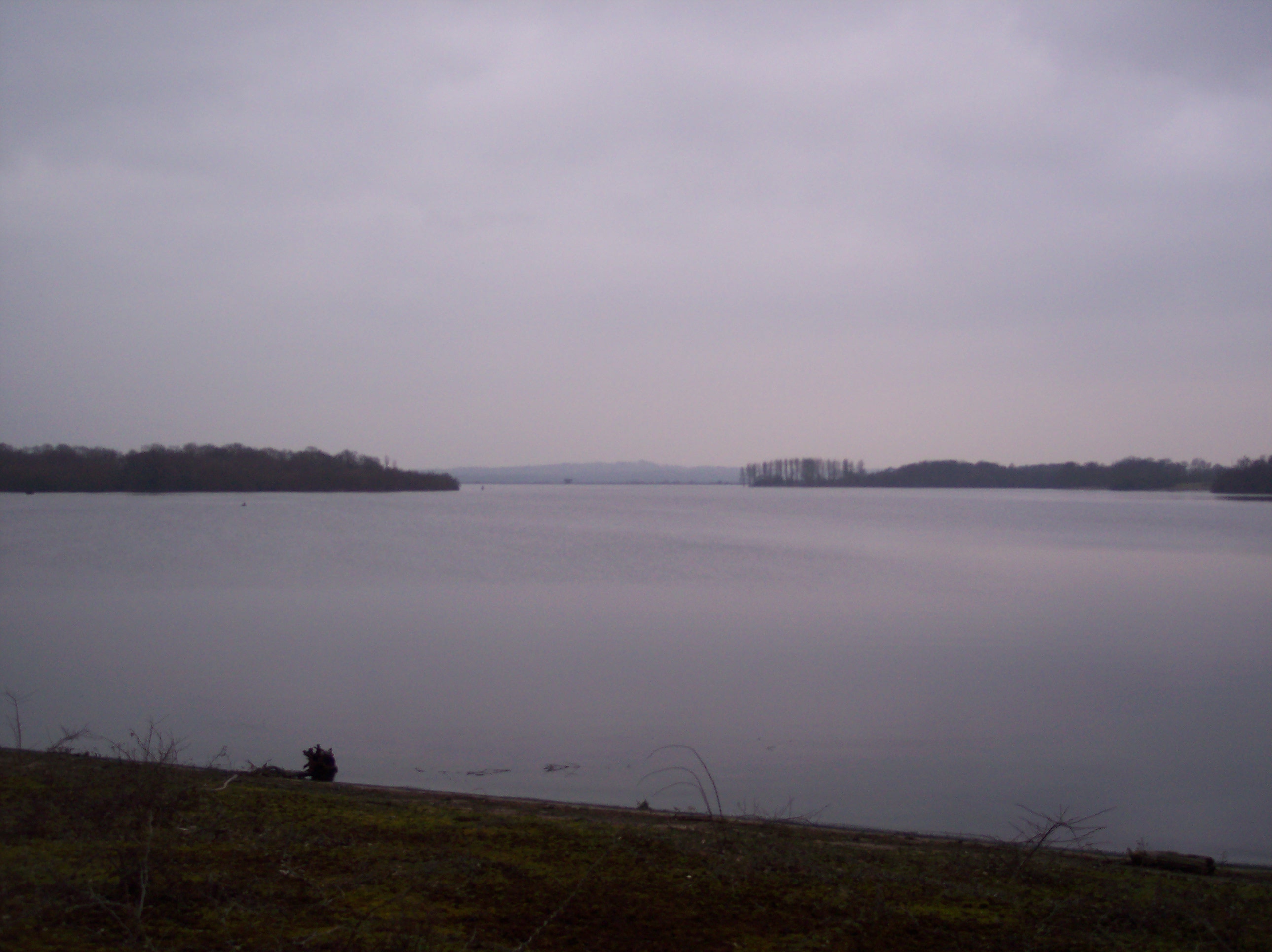
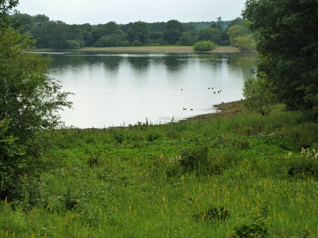
Bough Beech Reservoir
Bough Beech Reservoir is a 42-hectare (100-acre) nature reserve in Bough Beech, south-west of Sevenoaks in Kent. It was managed by the Kent Wildlife Trust...

Bough Beech
Bough Beech is a hamlet in the county of Kent, England, and is south of the Bough Beech Reservoir. It is located approximately three miles east of Edenbridge...

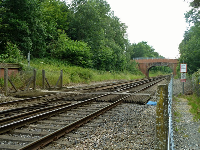
Penshurst railway station
Penshurst railway station is on the Redhill to Tonbridge Line and is located approximately two miles north of Penshurst in Kent, in the village of Chiddingstone...

Chiddingstone Causeway
Chiddingstone Causeway is a village 4 miles (6 km) west of Tonbridge in Kent, England. It is within the Sevenoaks local government district. It is in the...

St Luke's Church, Chiddingstone Causeway
St Luke's is a Grade II* listed Church of England church in Chiddingstone Causeway, Kent. It was built in 1897–1898 to a design by John Francis Bentley...

Stubbs Wood Country Park
Stubbs Wood Country Park is in Sevenoaks, in Kent, England. It is located on the Greensand Ridge, close to Ide Hill village. The site is owned and managed...
Nearby Amenities
Located within 500m of 51.214741,0.14309041Have you been to Climsacre Wood?
Leave your review of Climsacre Wood below (or comments, questions and feedback).