Park Spring

Wood, Forest in Essex Epping Forest

England

Park Spring

Mount Road, Theydon Mount The entrance to Hill Hall is on the right.
Mount Road, Theydon Mount Credit: David Howard

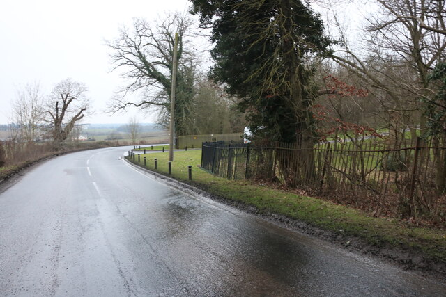
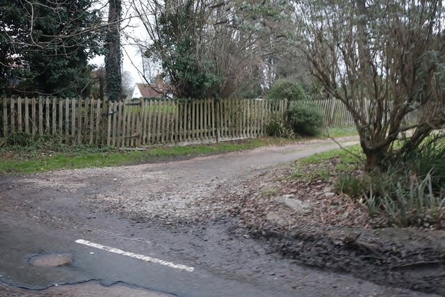
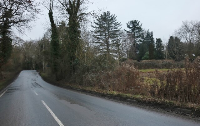
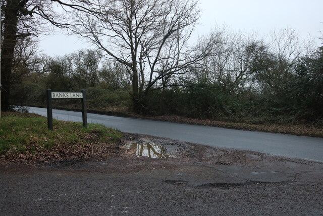
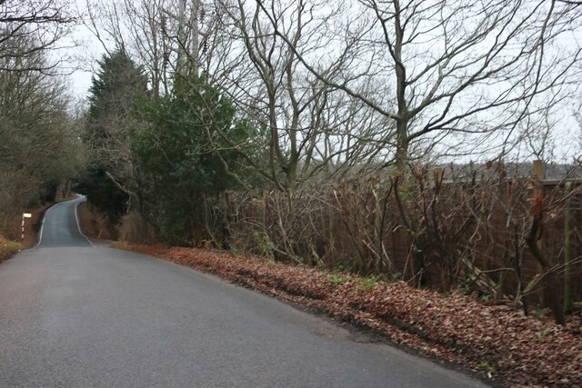
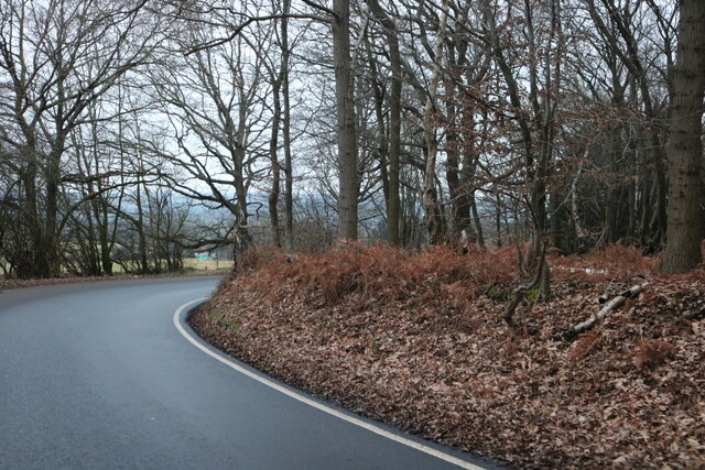
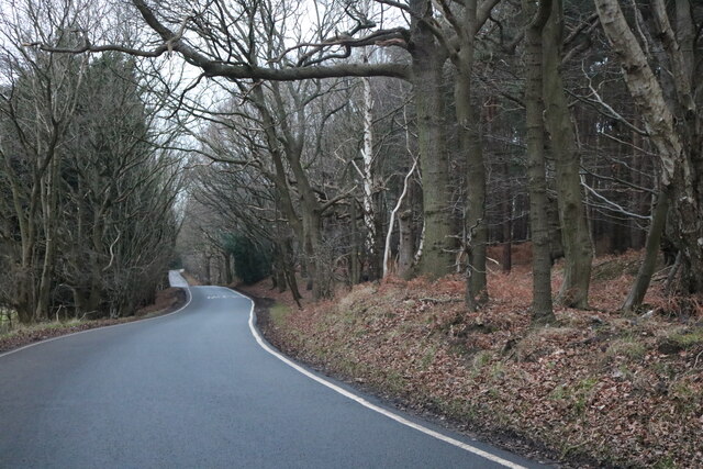
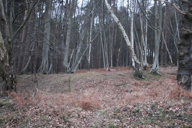
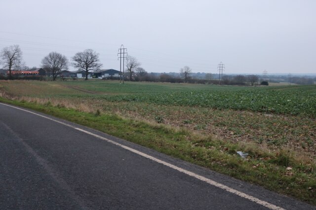
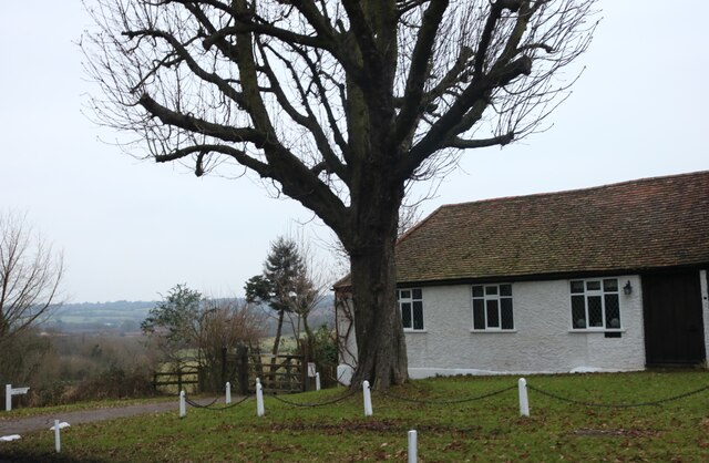
Park Spring is a picturesque woodland area located in Essex, England. Situated near the village of Wood, the park is known for its natural beauty and tranquil atmosphere. Covering a vast area of lush greenery and dense forest, Park Spring offers visitors a peaceful retreat from the hustle and bustle of urban life.

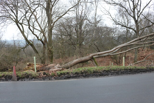
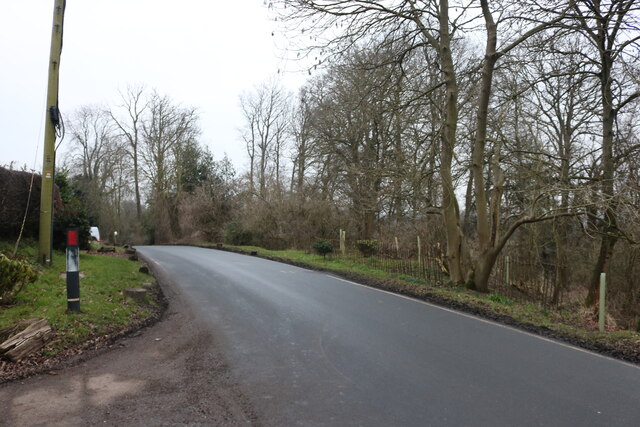
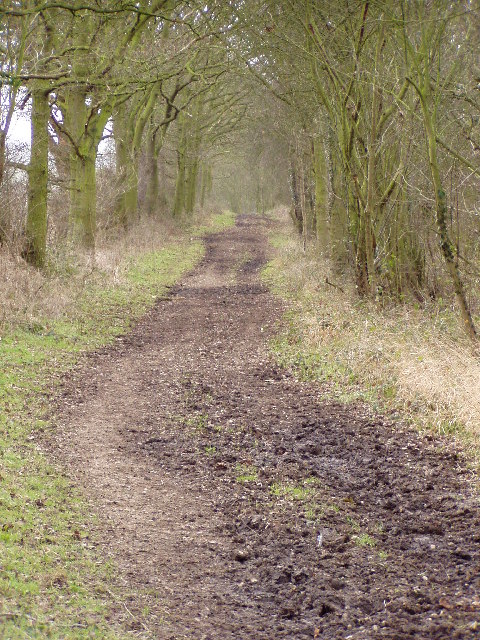
The park is home to a diverse range of flora and fauna, making it a haven for nature enthusiasts and wildlife lovers. Tall, majestic trees tower above visitors, providing shade and creating a sense of serenity. The forest floor is carpeted with vibrant wildflowers, adding bursts of color to the surroundings. Visitors can explore the park's numerous walking trails, allowing them to immerse themselves in the beauty of nature.

Park Spring is also a popular spot for recreational activities such as picnicking, bird watching, and photography. The park's tranquil setting offers the perfect backdrop for capturing stunning natural landscapes. The park is well-maintained, with benches and picnic areas scattered throughout, providing convenient spots for visitors to relax and take in the scenery.

In addition to its natural beauty, Park Spring is rich in history. It is believed that the area was once used by ancient civilizations for rituals and ceremonies. Archaeological discoveries have been made in the vicinity, adding to the park's historical significance.

Overall, Park Spring in Essex is a peaceful woodland area that offers visitors a chance to connect with nature and escape the stresses of everyday life. Its stunning natural beauty, diverse wildlife, and historical significance make it a must-visit destination for nature enthusiasts and history buffs alike.

If you have any feedback on the listing, please let us know in the comments section below.

Park Spring Images

Images are sourced within 2km of 51.675761/0.16579939 or Grid Reference TQ4999. Thanks to Geograph Open Source API. All images are credited.

Mount Road, Theydon Mount The entrance to Hill Hall is on the right.
Mount Road, Theydon Mount
The entrance to Hill Hall is on the right.
Track off Mount Road, Theydon Mount
Mount Road, Theydon Mount
Mount Road at the end of Banks Lane
Banks Lane, Mount End
Banks Lane, Mount End Going through High Warren
Banks Lane, Mount End
Going through High Warren
High Warren, Mount End
Tawney Common, Mount End It's a common but used for crops.
Tawney Common, Mount End
It's a common but used for crops.
House on Mount Road, Theydon Mount
Fallen tree on Mount Road, Theydon Mount This appears to have been hit by a vehicle as a picture in 2020 showed a damaged railing in front of it and the tree was only half the way down.
Fallen tree on Mount Road, Theydon Mount
This appears to have been hit by a vehicle as a picture in 2020 showed a damaged railing in front of it and the tree was only half the way down.
Mount Road, Theydon Mount
Mount Farm, Theydon Mount
Pond and fingerpost, Woodhatch, Epping, Essex
Unnamed road between Woodhatch & Stapleford Tawney, Essex
Berwick Farm, Berwick Lane, Stanford Rivers, Essex
Moletrap Public House, Tawney Common, Epping, Essex
Roman Road, Mount End, Essex This un-named Roman road ran thirty miles from London to Dunmow. Most of the line can be traced on modern roads, but here it survives, unsurfaced, as a bridleway. <a href="https://www.geograph.org.uk/gridref/TL4901">TL4901</a> <a href="https://www.geograph.org.uk/gridref/TL4902">TL4902</a>
Roman Road, Mount End, Essex
This un-named Roman road ran thirty miles from London to Dunmow. Most of the line can be traced on modern roads, but here it survives, unsurfaced, as a bridleway. TL4901 TL4902
Show me another place!

Park Spring is located at Grid Ref: TQ4999 (Lat: 51.675761, Lng: 0.16579939)

Administrative County: Essex

District: Epping Forest

Police Authority: Essex

What 3 Words

///type.goat.even. Near Abridge, Essex

Related Wikis

Theydon Mount

Theydon Mount is a village and civil parish in the Epping Forest district of the county of Essex, England. The village is notable for the Grade I listed...

Hill Hall (Essex)

Hill Hall is an Elizabethan mansion located in Theydon Mount near Epping, Essex, England. Although owned by English Heritage, the building consists of...

Stapleford Tawney

Stapleford Tawney is a village and civil parish in the Epping Forest district of Essex, England. Stapleford Tawney is approximately 4 miles (6 km) west...

Tawney Common

Tawney Common also known as Woodhatch, is a hamlet in the civil parish of Stapleford Tawney in the Epping Forest district of the county of Essex, England...

Nearby Amenities

Located within 500m of 51.675761,0.16579939
Barrier: stile
Lat/Long: 51.675668/0.167639
Barrier: stile
Lat/Long: 51.6756491/0.1637328
Barrier: stile
Lat/Long: 51.6765007/0.1630462
Barrier: stile
Fixme: Clearly in the wrong place
Lat/Long: 51.6772991/0.1668227
Barrier: stile
Lat/Long: 51.6797236/0.1675094
Noexit: yes
Lat/Long: 51.6780756/0.1703105
Noexit: yes
Lat/Long: 51.6780114/0.1709734
Power: pole
Lat/Long: 51.6757871/0.1717725
Power: pole
Lat/Long: 51.6757595/0.1710807
Power: pole
Lat/Long: 51.6757519/0.1703799
Noexit: yes
Lat/Long: 51.6764024/0.1717734
Noexit: yes
Lat/Long: 51.6779833/0.1712067
Noexit: yes
Lat/Long: 51.6769021/0.1601316
Noexit: yes
Lat/Long: 51.6757321/0.1594681
Noexit: yes
Lat/Long: 51.6756643/0.1593366
Noexit: yes
Lat/Long: 51.6760774/0.1602672
Noexit: yes
Lat/Long: 51.6759828/0.1600642
Noexit: yes
Lat/Long: 51.6758743/0.1610687
Noexit: yes
Lat/Long: 51.6765384/0.1610076
The data included in this document is from www.openstreetmap.org. The data is made available under ODbL.

Have you been to Park Spring?

Leave your review of Park Spring below (or comments, questions and feedback).