Icehouse Plantation
Wood, Forest in Essex Epping Forest
England
Icehouse Plantation
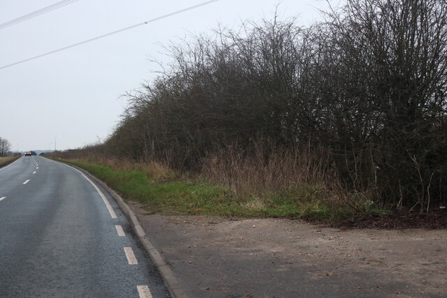
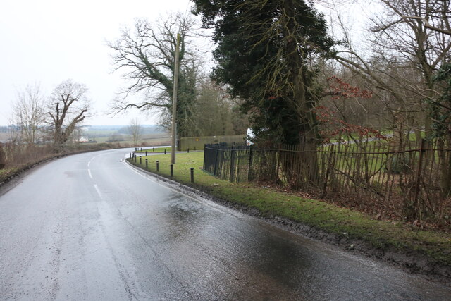
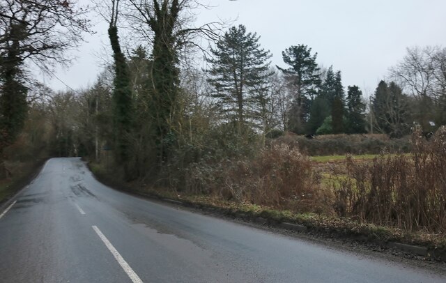
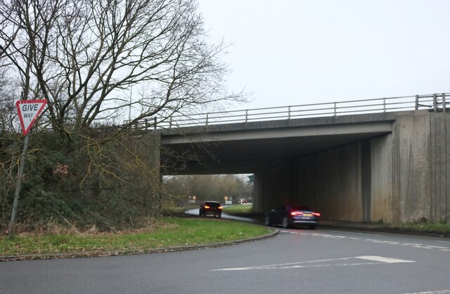
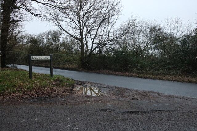
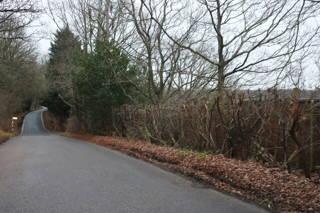
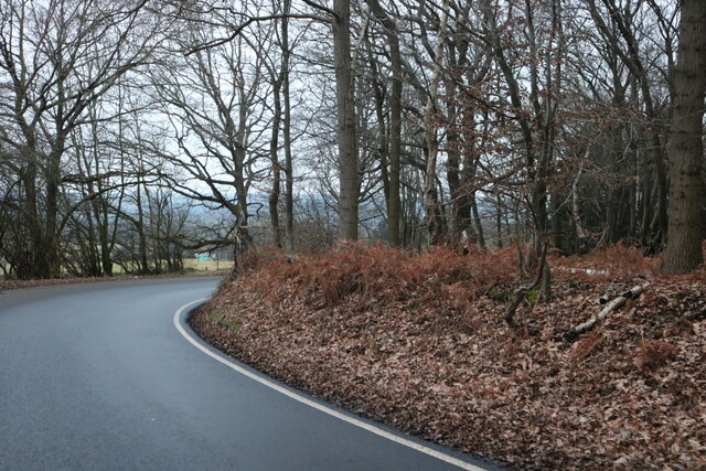
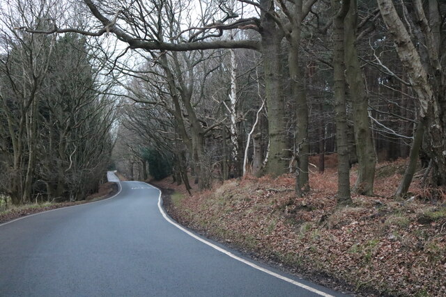
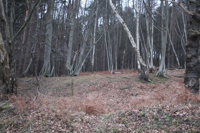
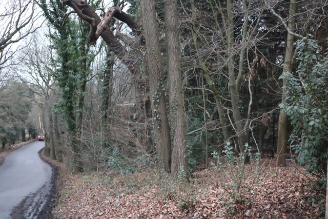
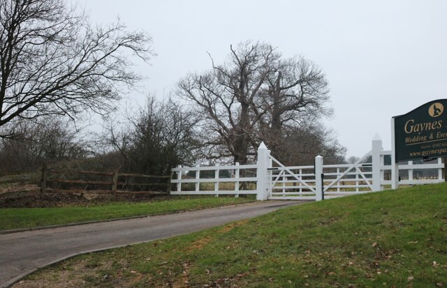
Icehouse Plantation is a historic estate located in Essex, England. Situated in a picturesque wood and forest area, this plantation holds significant historical and cultural importance. The estate spans over several acres and is known for its lush greenery, mature trees, and serene surroundings.
The name "Icehouse" originates from the presence of an ancient icehouse structure on the property. This icehouse was used in the past to store ice during the warmer months, ensuring a constant supply of ice for the estate's needs.
The woodland and forest areas surrounding Icehouse Plantation are home to a diverse range of flora and fauna. The estate boasts a variety of tree species, including oak, beech, and pine trees, which provide a beautiful display of colors throughout the seasons. It also serves as a sanctuary for various wildlife, including birds, squirrels, and deer.
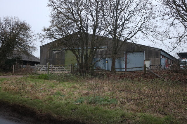
The plantation itself is a testament to the region's rich cultural heritage. The buildings on the estate, such as the main house and outbuildings, showcase distinctive architectural features from different periods, reflecting the evolution of design and construction over the centuries.
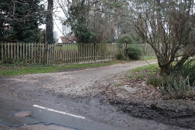
In addition to its natural beauty and historical significance, Icehouse Plantation offers opportunities for recreational activities. Visitors can enjoy exploring the extensive network of walking trails that wind through the woodland, providing a peaceful and tranquil setting for outdoor enthusiasts.
Overall, Icehouse Plantation in Essex is a well-preserved estate that combines historical charm, natural beauty, and recreational opportunities, making it a popular destination for locals and tourists alike.
If you have any feedback on the listing, please let us know in the comments section below.
Icehouse Plantation Images
Images are sourced within 2km of 51.678064/0.15452536 or Grid Reference TQ4999. Thanks to Geograph Open Source API. All images are credited.
Icehouse Plantation is located at Grid Ref: TQ4999 (Lat: 51.678064, Lng: 0.15452536)
Administrative County: Essex
District: Epping Forest
Police Authority: Essex
What 3 Words
///jumped.thinks.glue. Near Epping, Essex
Nearby Locations
Related Wikis

Hill Hall (Essex)
Hill Hall is an Elizabethan mansion located in Theydon Mount near Epping, Essex, England. Although owned by English Heritage, the building consists of...

Theydon Mount
Theydon Mount is a village and civil parish in the Epping Forest district of the county of Essex, England. The village is notable for the Grade I listed...

Mount End
Mount End is a hamlet in the civil parish of Theydon Mount, in the Epping Forest district, in the county of Essex, England. == Transport == Mount End is...

Tawney Common
Tawney Common also known as Woodhatch, is a hamlet in the civil parish of Stapleford Tawney in the Epping Forest district of the county of Essex, England...

Stapleford Tawney
Stapleford Tawney is a village and civil parish in the Epping Forest district of Essex, England. Stapleford Tawney is approximately 4 miles (6 km) west...

Fiddlers Hamlet
Fiddlers Hamlet is a hamlet in the civil parish of Epping, within the Epping Forest District of Essex, England, and is 1 mile (1.6 km) south-east from...
Theydon Garnon
Theydon Garnon is a village and civil parish in the Epping Forest district, in the county of Essex, England. The parish also includes the hamlet of Hobbs...

Brookhouse Brook
Brookhouse Brook is a 6.23 km (3.87 mi) long stream (brook) in the Epping Forest District of Essex, England, that is a tributary to the River Roding....
Nearby Amenities
Located within 500m of 51.678064,0.15452536Have you been to Icehouse Plantation?
Leave your review of Icehouse Plantation below (or comments, questions and feedback).