Cold Arbor Wood

Wood, Forest in Kent Sevenoaks

England

Cold Arbor Wood

Mond Court this interesting building at Sundridge is dated 1913 and located just South of the A25 on the Ide Hill road.
Mond Court Credit: Chris Shaw

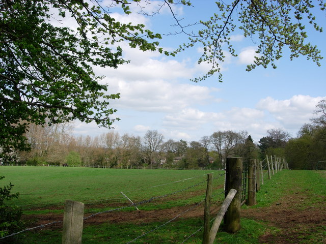
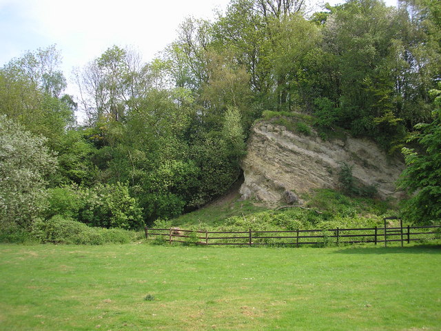
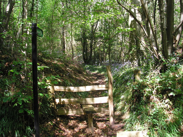
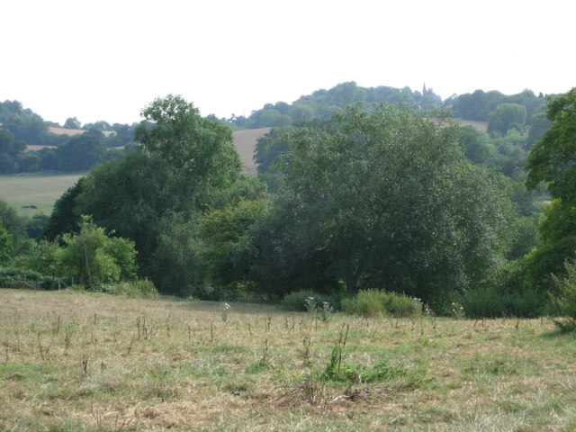
Cold Arbor Wood is a picturesque woodland located in the county of Kent, England. Covering an area of approximately 100 acres, it is nestled within the beautiful Kent Downs, an Area of Outstanding Natural Beauty. The wood is renowned for its diverse range of flora and fauna, making it a popular destination for nature enthusiasts and hikers alike.

The woodland is predominantly composed of native broadleaf trees, including oak, beech, and ash, which create a dense canopy that provides shade and shelter for a variety of woodland creatures. The forest floor is adorned with a rich carpet of wildflowers, such as bluebells and primroses, which bloom in the spring, adding bursts of color to the green landscape.

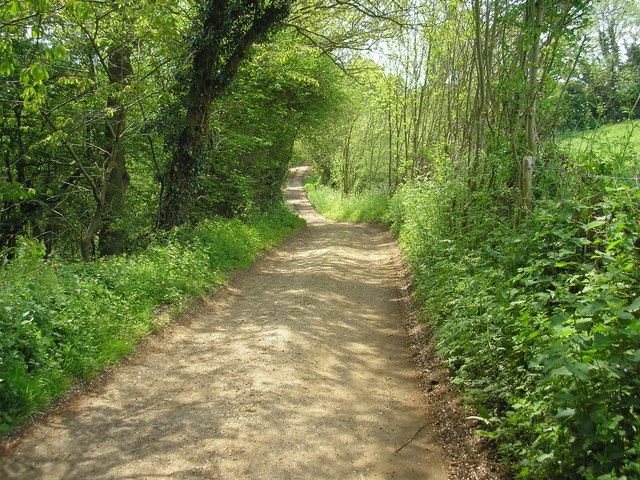
Numerous walking trails wind their way through Cold Arbor Wood, allowing visitors to explore its hidden corners and discover its hidden gems. These paths offer stunning views of the surrounding countryside and often lead to secluded clearings, perfect for picnics or peaceful moments of contemplation.

Wildlife thrives in the tranquil environment of Cold Arbor Wood. Visitors may encounter a range of animals, including deer, badgers, and foxes, as well as a variety of bird species such as woodpeckers, owls, and warblers. The wood is also home to a number of rare and protected species, including the hazel dormouse and the silver-washed fritillary butterfly.

Cold Arbor Wood is not only a haven for wildlife but also an important site for historical and archaeological interest. It is believed that the wood has been in existence since at least the medieval period, and remnants of ancient settlements and burial mounds have been discovered within its boundaries.

Overall, Cold Arbor Wood offers a captivating blend of natural beauty, biodiversity, and historical significance, making it a cherished destination for those seeking to immerse themselves in the wonders of the Kentish countryside.

If you have any feedback on the listing, please let us know in the comments section below.

Cold Arbor Wood Images

Images are sourced within 2km of 51.276829/0.14706858 or Grid Reference TQ4955. Thanks to Geograph Open Source API. All images are credited.

Mond Court this interesting building at Sundridge is dated 1913 and located just South of the A25 on the Ide Hill road.
Mond Court
this interesting building at Sundridge is dated 1913 and located just South of the A25 on the Ide Hill road.
Sundridge Memorial At crossroads on A25.
Sundridge Memorial
At crossroads on A25.
Combe Bank School, Sundridge Combe Bank is a fine Palladian house built in 1720. The buildings are now used as an independent girls school. Details of the school and estate can be found at: <span class="nowrap"><a title="http://www.combebank.kent.sch.uk" rel="nofollow ugc noopener" href="http://www.combebank.kent.sch.uk">Link</a><img style="margin-left:2px;" alt="External link" title="External link - shift click to open in new window" src="https://s1.geograph.org.uk/img/external.png" width="10" height="10"/></span>
Combe Bank School, Sundridge
Combe Bank is a fine Palladian house built in 1720. The buildings are now used as an independent girls school. Details of the school and estate can be found at: LinkExternal link
M25 & M26 near Chevening & Chipstead This is where the M25 London Orbital Road turns to the north (left in the picture) and the M26 continues to the east.
M25 & M26 near Chevening & Chipstead
This is where the M25 London Orbital Road turns to the north (left in the picture) and the M26 continues to the east.
Cross roads on the A25 at Sundridge A familiar view for those driving along the A25 towards Sevenoaks
Cross roads on the A25 at Sundridge
A familiar view for those driving along the A25 towards Sevenoaks
M25 Motorway A photograph of the M25 near Sevenoaks taken early afternoon before the rush hour.
M25 Motorway
A photograph of the M25 near Sevenoaks taken early afternoon before the rush hour.
M25 Motorway - West Early afternoon traffic near Sevenoaks on the M25 going west.
M25 Motorway - West
Early afternoon traffic near Sevenoaks on the M25 going west.
Birchfield Farmland This photograph was taken from New Road that runs from Ide Hill to Brasted and is looking across towards Sundridge.
Birchfield Farmland
This photograph was taken from New Road that runs from Ide Hill to Brasted and is looking across towards Sundridge.
Ragstone outcrop, Dryhill Nature Reserve, Kent Dryhill Local Nature Reserve is to be found just south of the A25 near Sundridge village.  This fine Ragstone outcrop and other interesting rock formations are to be seen.
Ragstone outcrop, Dryhill Nature Reserve, Kent
Dryhill Local Nature Reserve is to be found just south of the A25 near Sundridge village. This fine Ragstone outcrop and other interesting rock formations are to be seen.
Dryhill Lane, a public bridleway Thankfully, the southern portion of Dryhill Lane only has bridleway status, so those nasty gas-guzzling 4x4s (or other motor cars) cannot be brought here to disturb its peace.
Dryhill Lane, a public bridleway
Thankfully, the southern portion of Dryhill Lane only has bridleway status, so those nasty gas-guzzling 4x4s (or other motor cars) cannot be brought here to disturb its peace.
Footpath into Hawks Wood This path leads westward from the little-used Back Lane into Hawks Wood, near Sevenoaks, Kent.  It's late May and there are still plenty of bluebells about.
Footpath into Hawks Wood
This path leads westward from the little-used Back Lane into Hawks Wood, near Sevenoaks, Kent. It's late May and there are still plenty of bluebells about.
Farmland suffering from a summer of drought This photograph was taken from Back Lane. Part of Hawks Wood is in the near distance whilst in the far distance can just be seen the shingled spire of Ide Hill Church.
Farmland suffering from a summer of drought
This photograph was taken from Back Lane. Part of Hawks Wood is in the near distance whilst in the far distance can just be seen the shingled spire of Ide Hill Church.
Historic Church
Historic Church
Historic Church
Historic Church
Dryhill Oast, Dryhill Lane, Sundridge, Kent
Oast Hill Farm, Church Road, Sundridge, Kent Single round kiln oast house.
Oast Hill Farm, Church Road, Sundridge, Kent
Single round kiln oast house.
Bridge over mill stream, Chipstead This mill stream was diverted from the River Darent, which flows a few yards to the south.  This stone bridge carries Chevening Road over the stream.
Bridge over mill stream, Chipstead
This mill stream was diverted from the River Darent, which flows a few yards to the south. This stone bridge carries Chevening Road over the stream.
The Bricklayers Arms, Chipstead On Chevening Road
The Bricklayers Arms, Chipstead
On Chevening Road
Show me another place!

Cold Arbor Wood is located at Grid Ref: TQ4955 (Lat: 51.276829, Lng: 0.14706858)

Administrative County: Kent
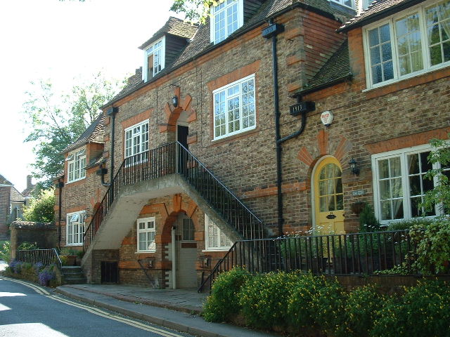
District: Sevenoaks

Police Authority: Kent

What 3 Words

///winks.impose.skip. Near Sundridge, Kent

Nearby Locations

Dryhill Cold Arbor Wood

Related Wikis

Dryhill Nature Reserve

Dryhill is an 11.7-hectare (29-acre) geological Site of Special Scientific Interest on the western outskirts of Sevenoaks in Kent. It is a Geological Conservation...

Dryhill

Dryhill is a small hamlet in the Sevenoaks district, in the county of Kent, England. == Location == It is about two miles away from the large town of Sevenoaks...

Bessels Green

Bessels Green is a village now incorporated into the built-up area of Sevenoaks in Kent, England. It is on the north-western outskirts of Sevenoaks, in...

Chipstead, Kent

Chipstead is a small village within the parish of Chevening in the Sevenoaks District of Kent, England. It lies just west of the town of Sevenoaks and...
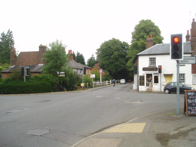
Sundridge, Kent

Sundridge is a village within the civil parish of Sundridge with Ide Hill, in the Sevenoaks district of Kent, England. The village is located on the A25...

Chevening Halt railway station

Chevening Halt is a now-closed intermediate railway station on the Westerham branch line in Kent. The line was built as single track with provision for...
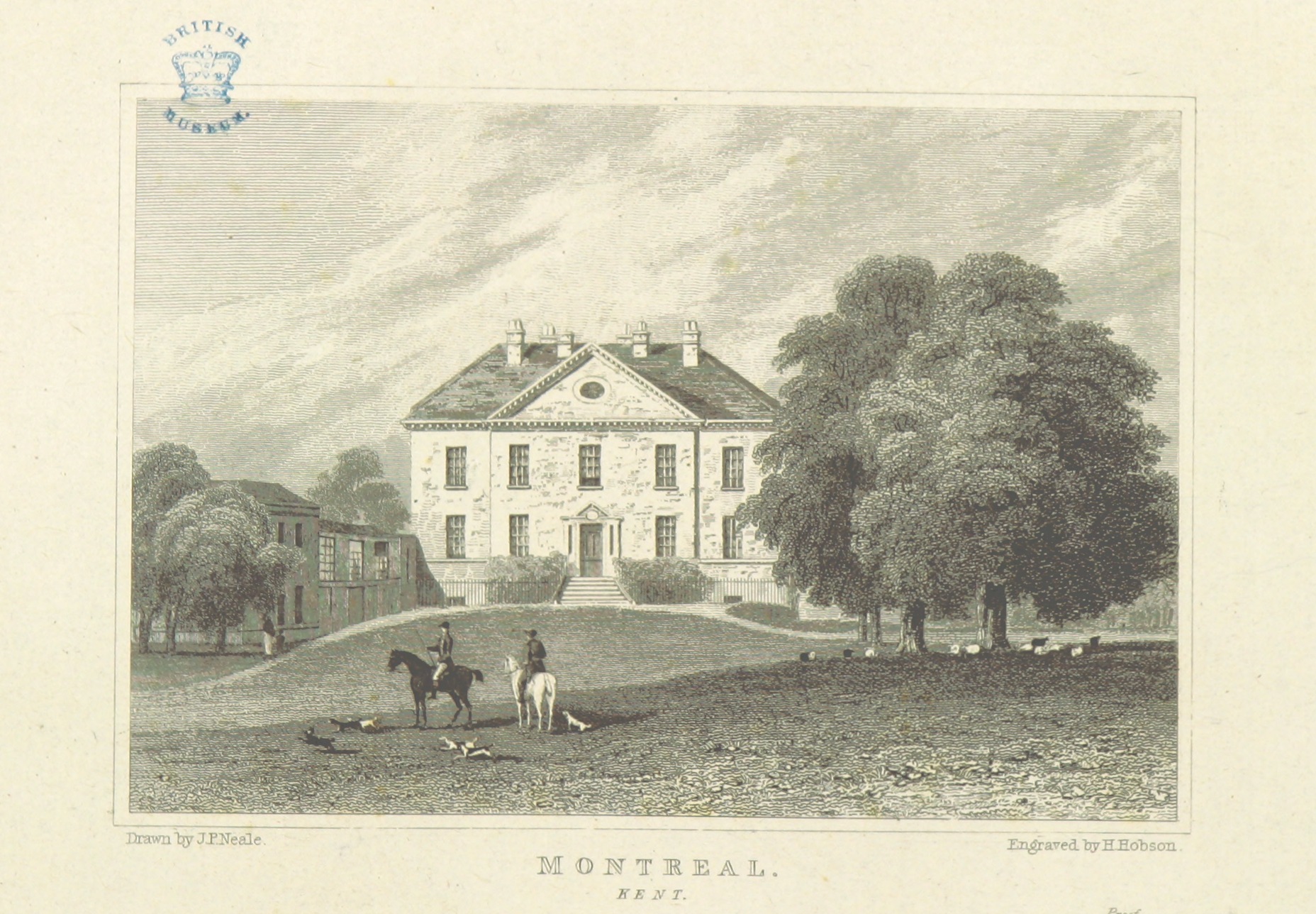
Montreal Park

Montreal Park is a development in Sevenoaks in Kent which was formerly the home of Lord Amherst, Commander-in-Chief of the Forces. It was named after his...

Riverhead, Kent

Riverhead is a northern village part of the urban area of Sevenoaks in the district of the same name in Kent, England and is also a civil parish. The...

Nearby Amenities

Located within 500m of 51.276829,0.14706858
Motorway Junction
Chipstead
Noref: yes
Lat/Long: 51.2796705/0.1507248
Motorway Junction
Chipstead
Noref: yes
Lat/Long: 51.2806459/0.149705
Barrier: kissing_gate
Lat/Long: 51.2812979/0.1469778
Barrier: stile
Lat/Long: 51.2798201/0.1458674
Barrier: kissing_gate
Lat/Long: 51.2745286/0.1414435
Tourism: information
Lat/Long: 51.2760702/0.1481332
Dryhill
Place: hamlet
Wikidata: Q5309695
Lat/Long: 51.2742195/0.1427214
Communication Mobile Phone: yes
Man Made: mast
Tower Type: communication
Lat/Long: 51.2794081/0.1445024
The data included in this document is from www.openstreetmap.org. The data is made available under ODbL.

Have you been to Cold Arbor Wood?

Leave your review of Cold Arbor Wood below (or comments, questions and feedback).