Molehill Shaw
Wood, Forest in Sussex Lewes
England
Molehill Shaw
Molehill Shaw is a picturesque woodland located in Sussex, England. Covering an area of approximately 100 acres, this forest is a haven for nature enthusiasts and outdoor adventurers alike.
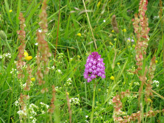
The woodland is dominated by a diverse range of tree species, including oak, beech, and birch, creating a rich and vibrant ecosystem. The lush undergrowth is home to a variety of flora such as bluebells, ferns, and wildflowers, which add to the beauty of the forest.
Molehill Shaw offers a tranquil escape from the hustle and bustle of everyday life. Its well-maintained footpaths and trails allow visitors to explore the woodland at their own pace. The forest is a popular destination for hikers and walkers, offering a range of routes suitable for all levels of fitness and experience.
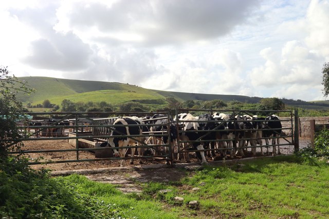
The forest is also inhabited by a wide array of wildlife. Birdwatchers will delight in spotting species such as woodpeckers, owls, and various songbirds. If lucky, visitors may even catch a glimpse of deer, foxes, or squirrels as they go about their daily activities.
Molehill Shaw is a designated Site of Special Scientific Interest (SSSI), highlighting its ecological significance. Conservation efforts are in place to protect and preserve the woodland, ensuring future generations can continue to enjoy its natural beauty.
Overall, Molehill Shaw in Sussex is a hidden gem, offering visitors a chance to immerse themselves in the tranquility of a stunning forest environment, while also providing a valuable habitat for a diverse range of flora and fauna.
If you have any feedback on the listing, please let us know in the comments section below.
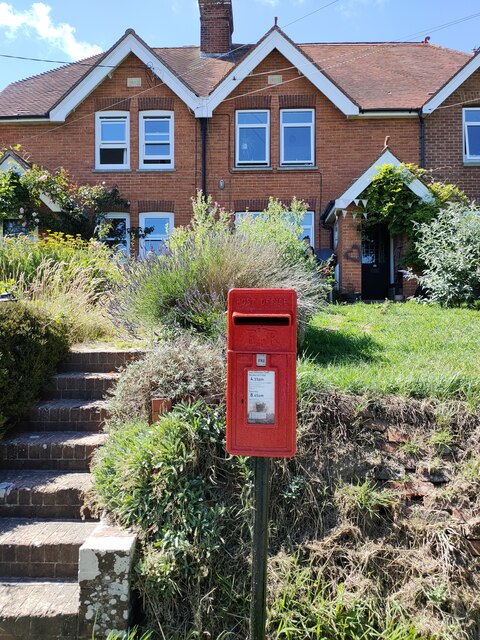
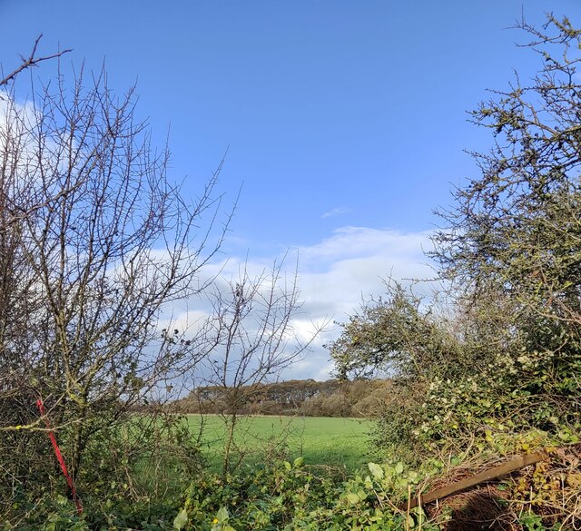
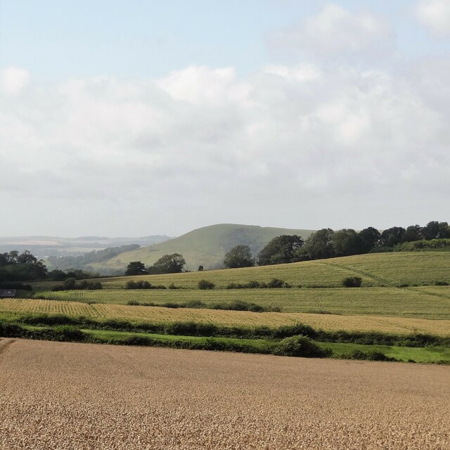
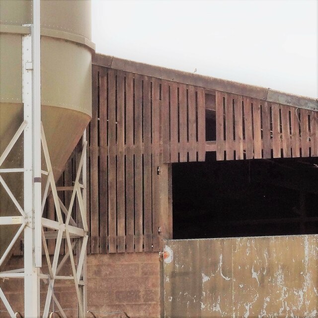
Molehill Shaw Images
Images are sourced within 2km of 50.84814/0.11888505 or Grid Reference TQ4907. Thanks to Geograph Open Source API. All images are credited.


Molehill Shaw is located at Grid Ref: TQ4907 (Lat: 50.84814, Lng: 0.11888505)
Administrative County: East Sussex
District: Lewes
Police Authority: Sussex
What 3 Words
///sticks.unique.ballooned. Near Ringmer, East Sussex
Nearby Locations
Related Wikis

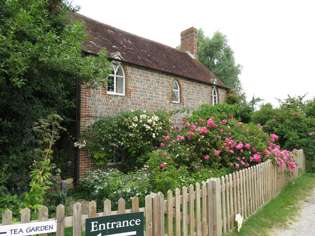
Charleston Farmhouse
Charleston, in East Sussex, is a property associated with the Bloomsbury group, that is open to the public. It was the country home of Vanessa Bell and...

Firle
Firle (; Sussex dialect: Furrel ) is a village and civil parish in the Lewes district of East Sussex, England. Firle refers to an old-English/Anglo-Saxon...

Selmeston
Selmeston is a village and civil parish in the Wealden District of East Sussex, England. It is located eight miles (13 km) east of Lewes, to the north...
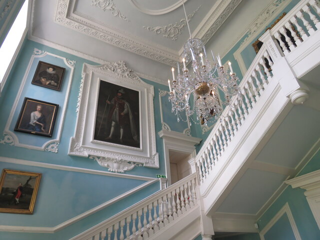
Firle Place
Firle Place is a Manor house in Firle, Sussex, United Kingdom. The Gage family have owned the land at Firle since acquiring it from the Levett family in...
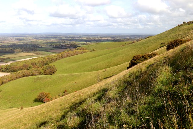
Firle Beacon
Firle Beacon is a hill in the South Downs of southern England. It is 217 metres high and is a Marilyn. It commands a far-reaching view. When the prevailing...

Firle Hill Climb
Firle Hill Climb is a disused hillclimbing course near Lewes, East Sussex, England, sometimes referred to as Bo Peep Hill Climb. The event was celebrated...

Alciston
Alciston is a village and civil parish in the Wealden district of East Sussex, England. It is inland, just off the A27 road, about ten miles (16 km) north...

Firle Escarpment
Firle Escarpment is a 302.1-hectare (747-acre) biological Site of Special Scientific Interest north of Seaford in East Sussex.This is a long stretch of...
Nearby Amenities
Located within 500m of 50.84814,0.11888505Have you been to Molehill Shaw?
Leave your review of Molehill Shaw below (or comments, questions and feedback).