Aston

Settlement in Berkshire

England

Aston

House, Lodge Farm, Medmenham A grade II*(star) listed building, 17th century.
House, Lodge Farm, Medmenham Credit: Robin Webster

Aston is a small village located in the county of Berkshire, England. Situated approximately 6 miles west of the town of Reading, Aston is part of the civil parish of Wokingham Without. It is surrounded by picturesque countryside and offers a quiet and peaceful atmosphere to its residents.

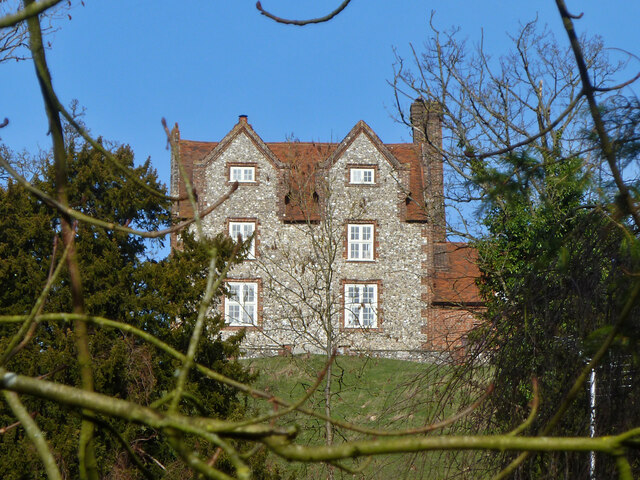
The village has a rich history dating back to the medieval period, with several historical landmarks still standing today. One such landmark is the St. Mary the Virgin Church, a Grade I listed building that showcases stunning architectural features from various time periods.

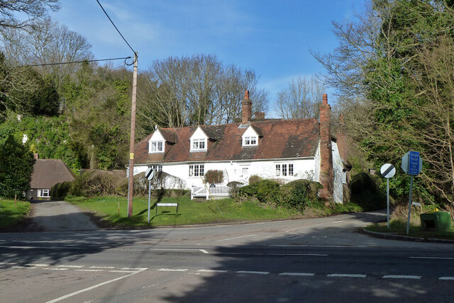
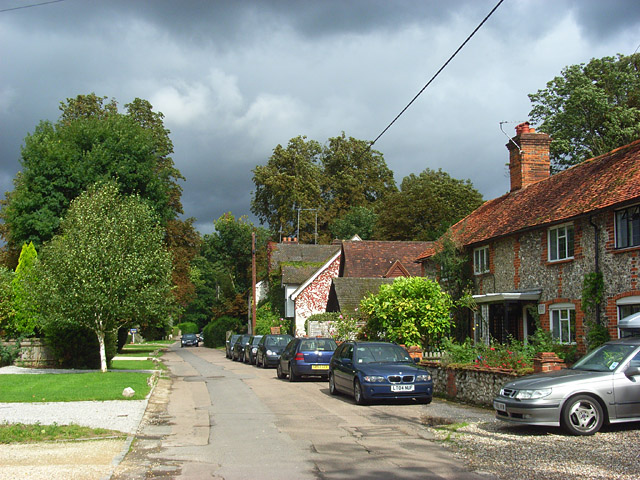
Aston is primarily a residential area, consisting of a mix of traditional cottages and modern houses. The village is home to a close-knit community, with several local amenities catering to the needs of its residents. These amenities include a village hall, a primary school, and a pub, which serves as a social hub for locals.

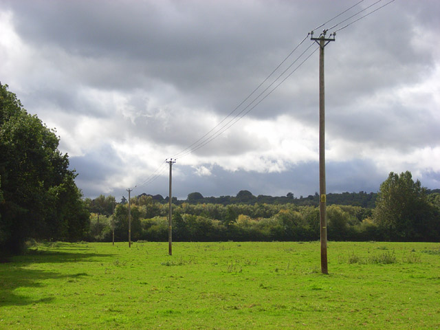
Nature enthusiasts will find plenty to explore in Aston, as the village is surrounded by beautiful countryside. The area offers opportunities for walking, cycling, and horse riding, with numerous trails and bridleways to explore. The nearby River Loddon also provides an idyllic setting for leisurely strolls and picnics.

Despite its rural setting, Aston benefits from its proximity to Reading, a bustling town that offers a wide range of shopping, dining, and entertainment options. The village is well-connected to surrounding areas by road, with easy access to major transport links such as the M4 motorway and Reading train station.

In summary, Aston is a charming village in Berkshire that combines a rich history with a tranquil environment. It provides a perfect balance between rural living and access to nearby amenities, making it an attractive place to call home.

If you have any feedback on the listing, please let us know in the comments section below.

Aston Images

Images are sourced within 2km of 51.551714/-0.867908 or Grid Reference SU7884. Thanks to Geograph Open Source API. All images are credited.

House, Lodge Farm, Medmenham A grade II*(star) listed building, 17th century.
House, Lodge Farm, Medmenham
A grade II*(star) listed building, 17th century.
Gillmans Cottage, Medmenham A grade II listed building, 17th and early 18th centuries.
Gillmans Cottage, Medmenham
A grade II listed building, 17th and early 18th centuries.
River Thames - frosted fallen willow Looking over to Buckinghamshire from the Royal County
River Thames - frosted fallen willow
Looking over to Buckinghamshire from the Royal County
St Peter and St Paul's, Medmenham
The Church of St. Peter & St. Paul, Medmenham
Ye Olde Dog & Badger Public House, Medmenham
The River Thames, Medmenham Looking upstream, on the southern bank.
The River Thames, Medmenham
Looking upstream, on the southern bank.
The River Thames, Medmenham A boat moored on the Buckinghamshire bank with floodwater in the adjacent meadow.
The River Thames, Medmenham
A boat moored on the Buckinghamshire bank with floodwater in the adjacent meadow.
Clay Polygons Three weeks of mainly warm, dry weather since the flooding along the Thames Path and the ground is now cracking up. The polygons are about 2-3 inches across.
Clay Polygons
Three weeks of mainly warm, dry weather since the flooding along the Thames Path and the ground is now cracking up. The polygons are about 2-3 inches across.
The River Thames, Medmenham Looking upstream from the Berkshire bank of the river.
The River Thames, Medmenham
Looking upstream from the Berkshire bank of the river.
The River Thames, Medmenham The start of  gentle curve on the river towards a northwesterly direction.
The River Thames, Medmenham
The start of gentle curve on the river towards a northwesterly direction.
The River Thames, Medmenham Looking across from a fallen willow branch in Berkshire to trees on the Buckinghamshire bank.
The River Thames, Medmenham
Looking across from a fallen willow branch in Berkshire to trees on the Buckinghamshire bank.
The River Thames, Medmenham Looking across to Buckinghamshire from Berkshire. The river gradually curves to the right in this view upstream.
The River Thames, Medmenham
Looking across to Buckinghamshire from Berkshire. The river gradually curves to the right in this view upstream.
Stubble, Medmenham Arable fields start half way between the village and Westfield Farm beside the footpath to Mill End.
Stubble, Medmenham
Arable fields start half way between the village and Westfield Farm beside the footpath to Mill End.
Private road, Medmenham The private road accessed the former Water Research Centre. Here it is a short distance south of the A4155.
Private road, Medmenham
The private road accessed the former Water Research Centre. Here it is a short distance south of the A4155.
Pasture, Medmenham A field beside the footpath to the west of the northern end of the village.
Pasture, Medmenham
A field beside the footpath to the west of the northern end of the village.
Ferry Lane, Medmenham The lane is the village's main street and a cul-de-sac ending at the Thames. The ferry no longer exists. The cottages on the right are part of a terrace of four nineteenth century one constructed of brick and flint.
Ferry Lane, Medmenham
The lane is the village's main street and a cul-de-sac ending at the Thames. The ferry no longer exists. The cottages on the right are part of a terrace of four nineteenth century one constructed of brick and flint.
St Peter and St Paul's, Medmenham The nave is 12th century. Windows, the chancel and tower are 15th century. All underwent restoration in the 19th. It is of flint and chalkstone construction. It stands at the top of Ferry Lane at its junction with the A4155.
St Peter and St Paul's, Medmenham
The nave is 12th century. Windows, the chancel and tower are 15th century. All underwent restoration in the 19th. It is of flint and chalkstone construction. It stands at the top of Ferry Lane at its junction with the A4155.
Show me another place!

Aston is located at Grid Ref: SU7884 (Lat: 51.551714, Lng: -0.867908)

Unitary Authority: Wokingham

Police Authority: Thames Valley

What 3 Words

///extension.reinstate.soups. Near Remenham, Berkshire

Nearby Locations

Aston Hambledon Marina

Related Wikis

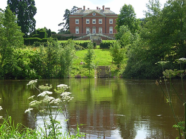
Culham Court, Berkshire

Culham Court is a Grade II* listed house at Remenham in the English county of Berkshire. == History == Culham Court dates back to at least the medieval...

Hambleden Mill

Hambleden Mill is an historic watermill on the River Thames at Mill End, near the village of Hambleden in Buckinghamshire, England. It is linked by a footbridge...
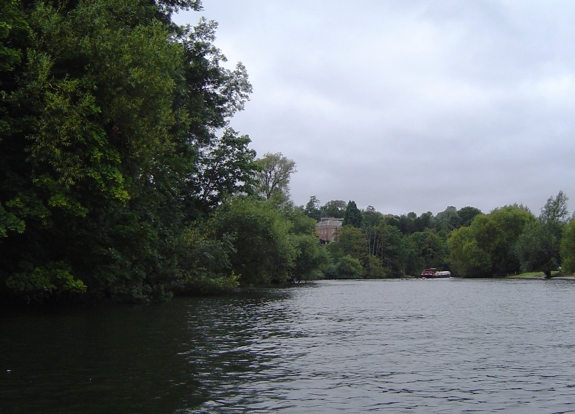
Magpie Island

Magpie Island is an island in the River Thames in England near the villages of Aston, Berkshire and Medmenham, Buckinghamshire. It is situated on the reach...
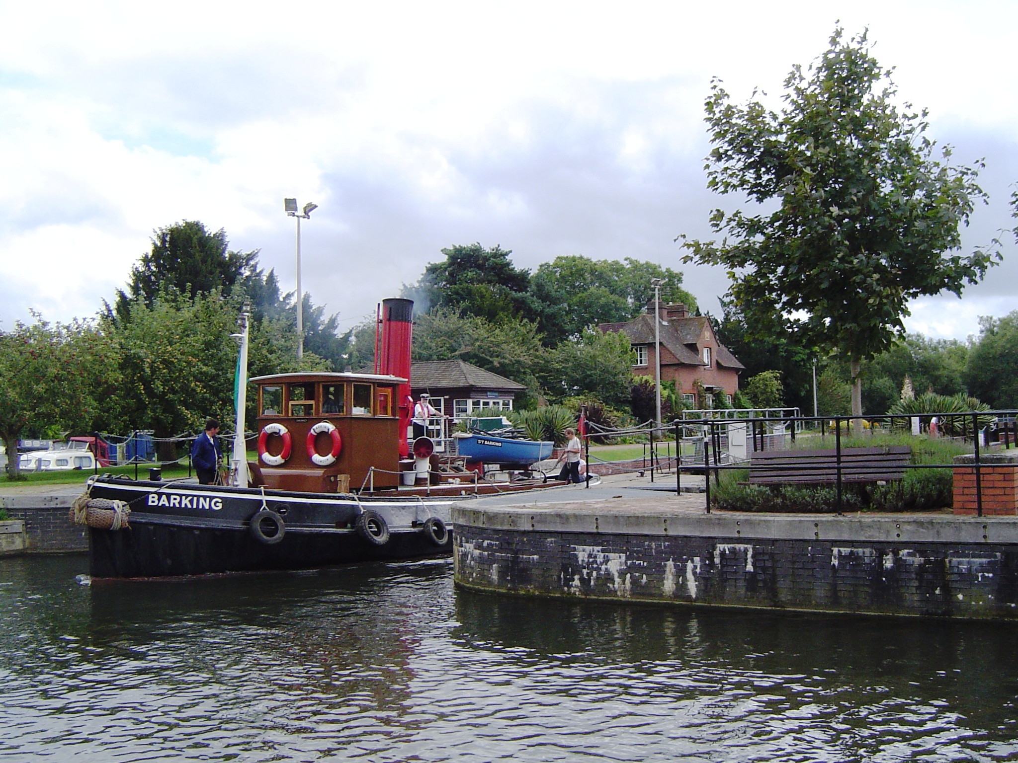
Hambleden Lock

Hambleden Lock is a lock with a long weir situated on the River Thames in England, about 2 miles downstream of Henley Bridge. The lock is on the Berkshire...

Nearby Amenities

Located within 500m of 51.551714,-0.867908
Pub
Flower Pot Hotel
Accommodation: yes
Addr Postcode: RG9 3DG
Addr Street: Aston Ferry Lane
Fhrs Id: 282114
Note: not really a hotel, fancier as a pub than was
Phone: +44 1491 574721
Source Addr: FHRS Open Data
Website: https://brakspear.co.uk/pub-finder/flowerpot/
Lat/Long: 51.5513502/-0.8703115
Aston
Is In: Berkshire
Place: village
Wikidata: Q4810934
Lat/Long: 51.5511515/-0.8705093
Barrier: kissing_gate
Foot: yes
Lat/Long: 51.5495873/-0.8730945
Barrier: stile
Foot: yes
Lat/Long: 51.5497011/-0.8717173
Barrier: kissing_gate
Foot: yes
Lat/Long: 51.5496811/-0.8702924
Access: no
Barrier: kissing_gate
Foot: designated
Lat/Long: 51.5516923/-0.8708746
Bench
Lat/Long: 51.5547694/-0.8672306
Post Box
Operator: Royal Mail
Post Box Type: wall
Ref: RG9 4
Royal Cypher: VR
Royal Cypher Wikidata: Q33102356
Lat/Long: 51.5517666/-0.8698189
Waste Basket
Waste: trash
Lat/Long: 51.5511466/-0.870122
Bench
Backrest: yes
Lat/Long: 51.5552397/-0.8676544
Direction: 145
Generator Method: photovoltaic
Generator Output Electricity: yes
Generator Solar Modules: 16
Generator Source: solar
Generator Type: solar_photovoltaic_panel
Location: ground
Power: generator
Lat/Long: 51.5538821/-0.863552
Power: pole
Lat/Long: 51.55234/-0.8617199
Power: pole
Lat/Long: 51.5522445/-0.8633925
The data included in this document is from www.openstreetmap.org. The data is made available under ODbL.

Have you been to Aston?

Leave your review of Aston below (or comments, questions and feedback).