Aston
Settlement in Oxfordshire West Oxfordshire
England
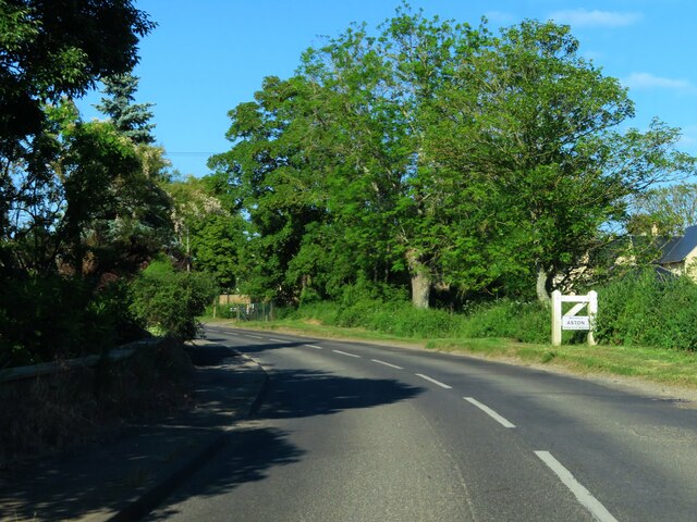
Aston

Aston is a small village located in the county of Oxfordshire, England. Situated approximately five miles west of the historic city of Oxford, Aston is nestled in the picturesque Cherwell Valley. The village is characterized by its charming rural setting, with rolling hills, lush green fields, and meandering streams.
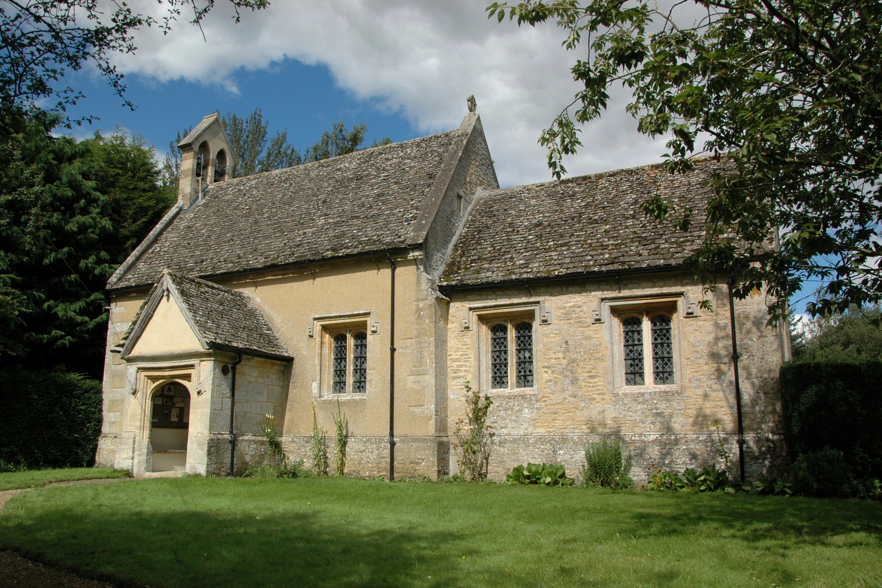
Aston has a rich history dating back to the medieval period, evidenced by the well-preserved St. James' Church, which stands prominently in the heart of the village. The church is a Grade II listed building and showcases beautiful architectural features such as a Norman doorway and a 13th-century font.
Despite its small size, Aston boasts a close-knit community and provides essential amenities to its residents. These include a local primary school, a village hall, and a post office. The village also benefits from excellent transport links, with regular bus services connecting Aston to neighboring towns and Oxford city center.
The surrounding countryside offers numerous opportunities for outdoor activities, such as hiking, cycling, and horse riding. Aston is also close to the Oxfordshire Cotswolds, a designated Area of Outstanding Natural Beauty, allowing residents and visitors to explore stunning landscapes and picturesque villages.
Overall, Aston, Oxfordshire, is a delightful village that offers residents a peaceful and idyllic way of life, while still providing easy access to the cultural and educational opportunities of nearby Oxford.
If you have any feedback on the listing, please let us know in the comments section below.
Aston Images
Images are sourced within 2km of 51.727784/-1.506242 or Grid Reference SP3403. Thanks to Geograph Open Source API. All images are credited.


Aston is located at Grid Ref: SP3403 (Lat: 51.727784, Lng: -1.506242)
Administrative County: Oxfordshire
District: West Oxfordshire
Police Authority: Thames Valley
What 3 Words
///curls.accented.butlers. Near Bampton, Oxfordshire
Nearby Locations
Related Wikis

Aston, Oxfordshire
Aston is a village about 4 miles (6.4 km) south of Witney in West Oxfordshire, England. The village is part of the civil parish of Aston, Cote, Shifford...
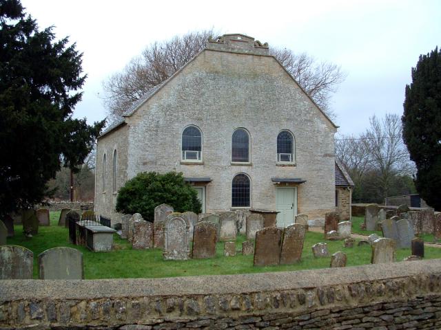
Cote Baptist Church
Cote Baptist Church stands in Shifford Road, Cote, 1 mile (2 km) to the east of Aston and 4 miles (6 km) to the east of Bampton, in Oxfordshire, England...

Cote, Oxfordshire
Cote is a hamlet about 4 miles (6.4 km) south of Witney and 1 mile (1.6 km) north of the River Thames in West Oxfordshire, England. Cote is part of the...
Yelford
Yelford is a village and former civil parish, now in the parish of Hardwick-with-Yelford, in the West Oxfordshire district, in the county of Oxfordshire...
Nearby Amenities
Located within 500m of 51.727784,-1.506242Have you been to Aston?
Leave your review of Aston below (or comments, questions and feedback).