Lower Brooms Wood
Wood, Forest in Kent
England
Lower Brooms Wood
Lower Brooms Wood, located in Kent, is a picturesque woodland area with a rich natural heritage. Covering an area of approximately 50 acres, it is a captivating destination for nature enthusiasts and hikers alike.
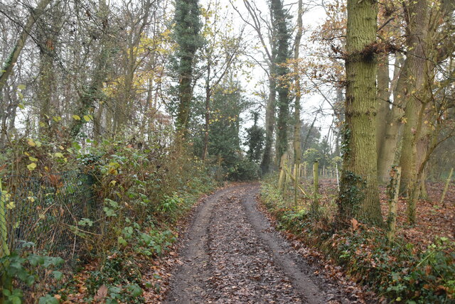
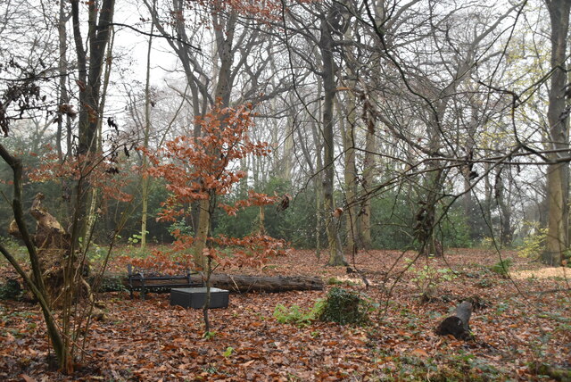
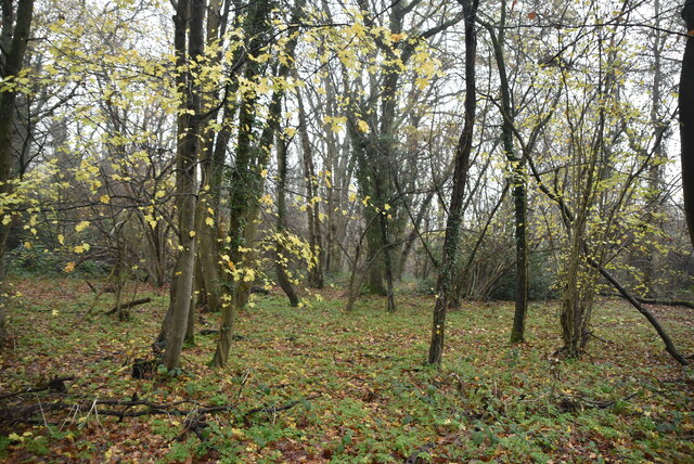
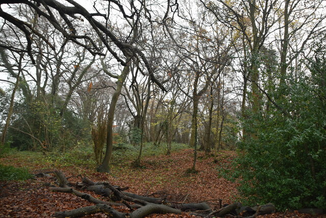
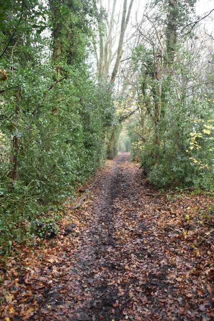
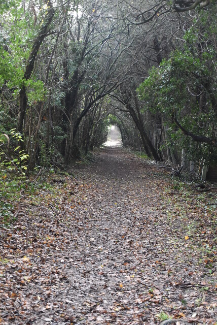
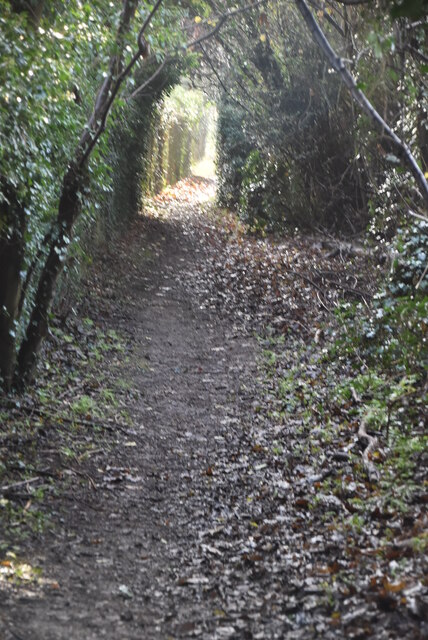
The wood is primarily composed of oak and beech trees, which create a dense canopy that provides shade and shelter for a diverse range of flora and fauna. Bluebells, wild garlic, and wood anemones are just a few of the vibrant wildflowers that blanket the forest floor during the spring months, creating a breathtaking display of colors. The wood is also home to various species of birds, such as woodpeckers, owls, and songbirds, which can be spotted and heard throughout the year.
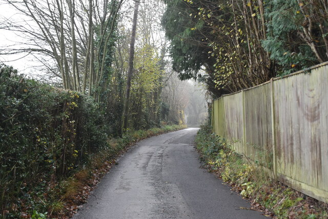
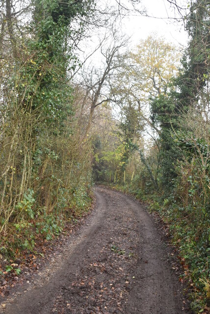
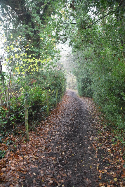
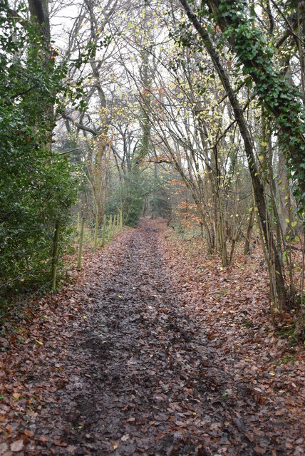
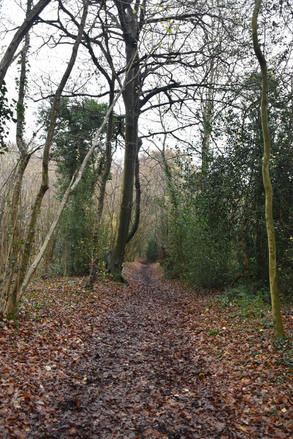
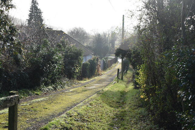
Tranquil walking paths wind their way through the woodland, allowing visitors to explore and appreciate its natural beauty. These paths are well-maintained and suitable for all fitness levels, making Lower Brooms Wood an accessible destination for families and individuals of all ages. Along the way, walkers may come across enchanting clearings and peaceful glades, perfect for picnics or simply taking a moment to immerse oneself in the serenity of the surroundings.
Lower Brooms Wood is a popular location for nature conservation efforts, with local organizations actively working to preserve and protect its unique ecosystem. The wood is managed sustainably, ensuring the balance between human enjoyment and ecological integrity.
Overall, Lower Brooms Wood, with its ancient trees, vibrant flora, and abundant wildlife, offers visitors a tranquil and immersive experience in the heart of nature.
If you have any feedback on the listing, please let us know in the comments section below.
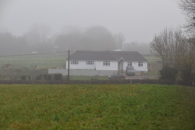
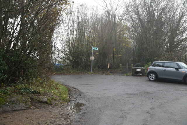
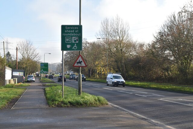
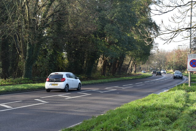
Lower Brooms Wood Images
Images are sourced within 2km of 51.329835/0.10495752 or Grid Reference TQ4661. Thanks to Geograph Open Source API. All images are credited.
Lower Brooms Wood is located at Grid Ref: TQ4661 (Lat: 51.329835, Lng: 0.10495752)
Unitary Authority: Bromley
Police Authority: Metropolitan
What 3 Words
///pill.doors.loft. Near Farnborough, London
Nearby Locations
Related Wikis

Pratt's Bottom
Pratt's Bottom is a village in Greater London, England, within the London Borough of Bromley and, prior to 1965, within the historic county of Kent. It...

London Borough of Bromley
The London Borough of Bromley ( ) is the largest and southeasternmost of the London boroughs that make up Greater London, bordering the county of Kent...

St Margaret's Church, Halstead
St Margaret's Church is an Anglican parish church in the village of Halstead and the Sevenoaks deanery, although the church also serves the village of...

Halstead, Kent
Halstead is a village and civil parish in the Sevenoaks District of Kent, England. It is located 4.7 miles south east of Orpington & 6.1 miles north west...
Hazelwood, London
Hazelwood is a hamlet in Greater London, England. It is located within the London Borough of Bromley, to the east of Downe. == References ==

St Katharine's Church, Knockholt
St Katharine's Church is an Anglican parish church in the village of Knockholt and the Sevenoaks deanery. St Katharine's and St Margaret's came together...
Knockholt
Knockholt is a village and civil parish in the Sevenoaks District of Kent, England. It is located 5 mi (8 km) north west of Sevenoaks & 5.7 mi (9.2 km...

Hewitt's Chalk Bank
Hewitt's Chalk Bank is a 4-hectare (10-acre) nature reserve north-east of Pratt's Bottom in the London Borough of Bromley. It is managed by the Kent Wildlife...
Nearby Amenities
Located within 500m of 51.329835,0.10495752Have you been to Lower Brooms Wood?
Leave your review of Lower Brooms Wood below (or comments, questions and feedback).