Upper Brooms Wood

Wood, Forest in Kent

England

Upper Brooms Wood

Direction Sign – Signpost on the crossroads in Halstead Located on the east side of the crossroads of Knockholt Road. Church Road, Shoreham Lane and Otford Lane in Halstead parish. 5 arms and annulus finial. See also <a title="https://www.geograph.org.uk/photo/6614724" href="https://www.geograph.org.uk/photo/6614724">Link</a>.

Milestone Society National ID: KE_TQ4861
Direction Sign – Signpost on the crossroads in Halstead Credit: John V Nicholls

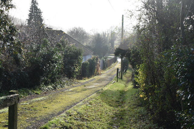
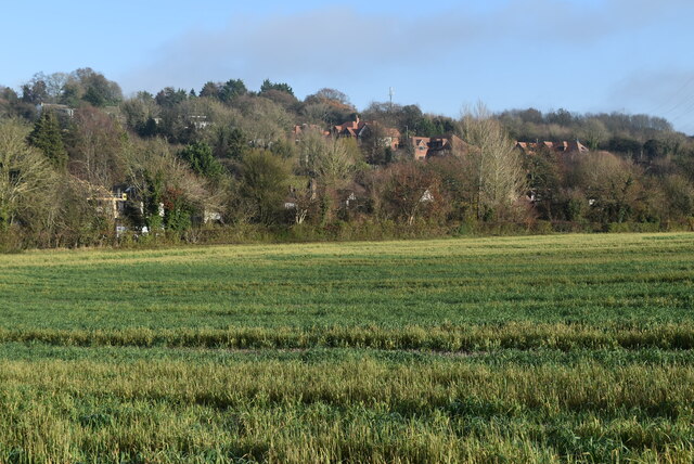
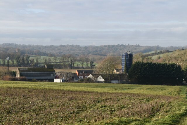
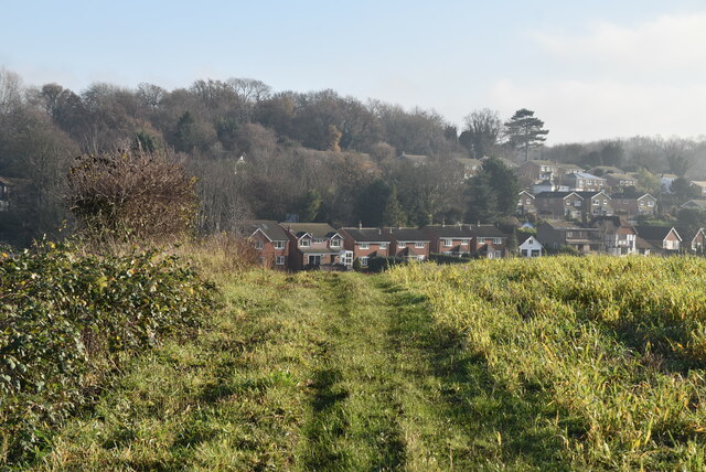
Upper Brooms Wood is a picturesque woodland located in the county of Kent, England. Covering an area of approximately 50 hectares, this woodland is part of the wider Bedgebury Forest and Pinetum, which is renowned for its diverse range of trees and plants.

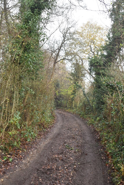
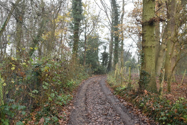
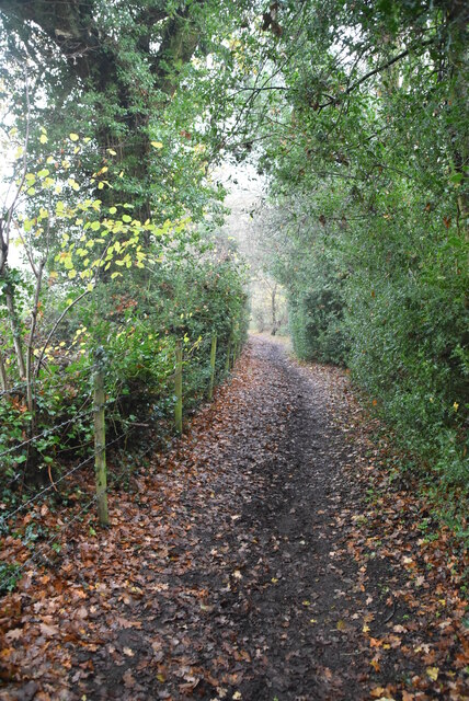
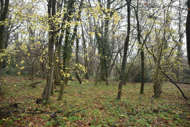
The wood is predominantly composed of native broadleaved species, including oak, beech, ash, and birch. These trees create a dense canopy, providing shade and shelter for a variety of flora and fauna. Bluebells carpet the forest floor in the spring, creating a stunning display of color.

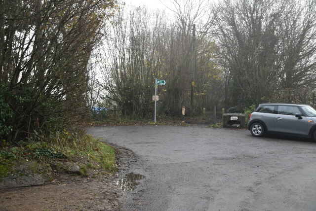
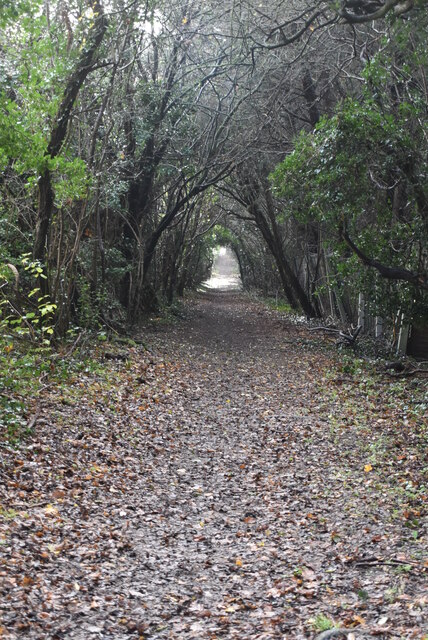
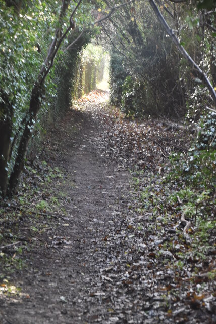
Upper Brooms Wood is a popular destination for nature enthusiasts, walkers, and families looking to explore the great outdoors. The woodland offers a network of well-maintained footpaths and trails, allowing visitors to immerse themselves in the peaceful surroundings and discover the hidden gems of this ancient woodland.

The wood is also home to a diverse range of wildlife, including birds, mammals, and insects. Birdwatchers may be lucky enough to spot species such as woodpeckers, nuthatches, and tawny owls. Squirrels can often be seen darting among the trees, while the patient observer may catch a glimpse of a roe deer or fox.

Managed by the Forestry Commission, Upper Brooms Wood is well-preserved and cared for. The commission ensures the woodland remains accessible, safe, and ecologically balanced, allowing visitors to enjoy its beauty while preserving its natural heritage for future generations.

If you have any feedback on the listing, please let us know in the comments section below.

Upper Brooms Wood Images

Images are sourced within 2km of 51.329681/0.10703191 or Grid Reference TQ4661. Thanks to Geograph Open Source API. All images are credited.

Direction Sign – Signpost on the crossroads in Halstead Located on the east side of the crossroads of Knockholt Road. Church Road, Shoreham Lane and Otford Lane in Halstead parish. 5 arms and annulus finial. See also <a title="https://www.geograph.org.uk/photo/6614724" href="https://www.geograph.org.uk/photo/6614724">Link</a>.

Milestone Society National ID: KE_TQ4861
Direction Sign – Signpost on the crossroads in Halstead
Located on the east side of the crossroads of Knockholt Road. Church Road, Shoreham Lane and Otford Lane in Halstead parish. 5 arms and annulus finial. See also Link. Milestone Society National ID: KE_TQ4861
Footpath off Snag Lane
Byway near Snag Farm
Snag Lane
Snag Lane
Snag Lane
Snag Lane
Great Molloms Wood
Great Molloms Wood
Footpath, Chelsfield Hill Wood
Footpath approaching Sevenoaks Rd
Sevenoaks Rd The A21 is a 63 mile major trunk road running  from Lewisham in Greater London to Hastings, East Sussex. The road is broken up by the M25 motorway between junction 4 and 5.
Wikipedia <span class="nowrap"><a title="http://en.wikipedia.org/wiki/A21_road_(England)" rel="nofollow ugc noopener" href="http://en.wikipedia.org/wiki/A21_road_(England)">Link</a><img style="margin-left:2px;" alt="External link" title="External link - shift click to open in new window" src="https://s1.geograph.org.uk/img/external.png" width="10" height="10"/></span>
Sevenoaks Rd
The A21 is a 63 mile major trunk road running from Lewisham in Greater London to Hastings, East Sussex. The road is broken up by the M25 motorway between junction 4 and 5. Wikipedia LinkExternal link
Pylon above Sevenoaks Rd
Farmland near Sevenoaks Rd
Charmwood Farm
Charmwood Farm
Footpath to Pratt's Bottom
All Souls' Church
All Souls' Church
Footpath to Pratt's Bottom
Show me another place!

Upper Brooms Wood is located at Grid Ref: TQ4661 (Lat: 51.329681, Lng: 0.10703191)

Unitary Authority: Bromley

Police Authority: Metropolitan

What 3 Words

///circle.engage.danger. Near Farnborough, London

Related Wikis

Pratt's Bottom

Pratt's Bottom is a village in Greater London, England, within the London Borough of Bromley and, prior to 1965, within the historic county of Kent. It...

St Margaret's Church, Halstead

St Margaret's Church is an Anglican parish church in the village of Halstead and the Sevenoaks deanery, although the church also serves the village of...

London Borough of Bromley

The London Borough of Bromley ( ) is the largest and southeasternmost of the London boroughs that make up Greater London, bordering the county of Kent...

Halstead, Kent

Halstead is a village and civil parish in the Sevenoaks District of Kent, England. It is located 4.7 miles south east of Orpington & 6.1 miles north west...

Hewitt's Chalk Bank

Hewitt's Chalk Bank is a 4-hectare (10-acre) nature reserve north-east of Pratt's Bottom in the London Borough of Bromley. It is managed by the Kent Wildlife...

St Katharine's Church, Knockholt

St Katharine's Church is an Anglican parish church in the village of Knockholt and the Sevenoaks deanery. St Katharine's and St Margaret's came together...

Knockholt

Knockholt is a village and civil parish in the Sevenoaks District of Kent, England. It is located 5 mi (8 km) north west of Sevenoaks & 5.7 mi (9.2 km...

Hazelwood, London

Hazelwood is a hamlet in Greater London, England. It is located within the London Borough of Bromley, to the east of Downe. == References ==

Nearby Amenities

Located within 500m of 51.329681,0.10703191
Barrier: stile
Foot: yes
Material: wood
Source: survey
Stile: stepover
Lat/Long: 51.3277629/0.1120099
Barrier: stile
Foot: yes
Material: wood
Source: survey
Stile: stepover
Lat/Long: 51.3281271/0.1103692
Barrier: stile
Foot: yes
Material: metal
Stile: squeezer
Lat/Long: 51.3328924/0.1080565
Barrier: stile
Foot: yes
Material: wood
Source: survey
Stile: stepover
Lat/Long: 51.3267101/0.1097259
Barrier: stile
Bicycle: no
Foot: yes
Material: metal
Source: survey
Stile: squeezer
Lat/Long: 51.3274248/0.1048758
Barrier: stile
Bicycle: no
Foot: yes
Material: metal
Source: survey
Stile: squeezer
Lat/Long: 51.3290216/0.1053016
Communication: pole
Lat/Long: 51.3306791/0.1000812
Communication: pole
Lat/Long: 51.329925/0.1000436
Power: pole
Lat/Long: 51.32568/0.1042992
Power: pole
Lat/Long: 51.3258527/0.1050422
Power: pole
Lat/Long: 51.3262449/0.1067079
Power: pole
Lat/Long: 51.327021/0.1100586
The data included in this document is from www.openstreetmap.org. The data is made available under ODbL.

Have you been to Upper Brooms Wood?

Leave your review of Upper Brooms Wood below (or comments, questions and feedback).