East Wood
Wood, Forest in Hertfordshire East Hertfordshire
England
East Wood
East Wood is a charming and picturesque village located in the county of Hertfordshire, England. Situated in the heart of a dense forest, the village is surrounded by breathtaking natural beauty and offers a peaceful and tranquil atmosphere for its residents and visitors.
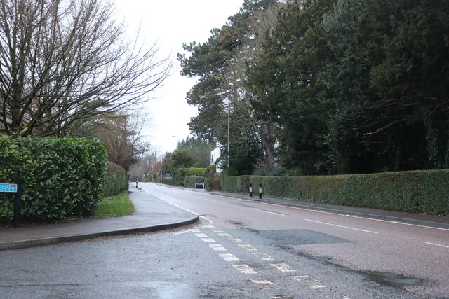
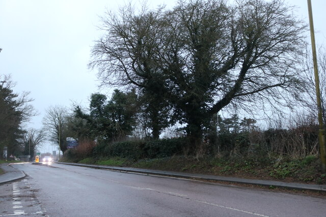
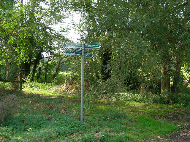
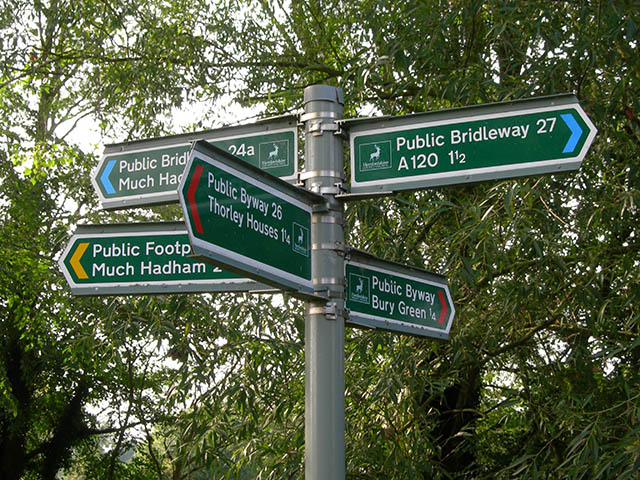
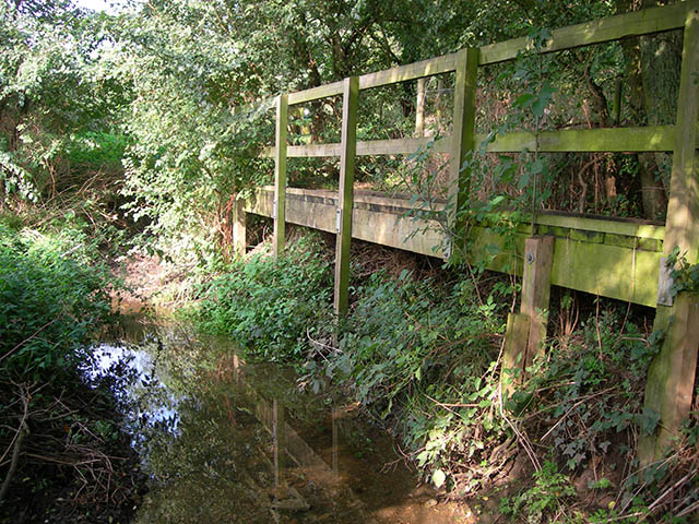
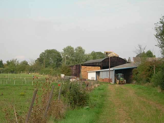
With a population of around 1,000 people, East Wood has a close-knit community that values the preservation of its natural surroundings. The village is known for its well-preserved woodlands, which provide a habitat for diverse flora and fauna. The forest is a popular destination for nature enthusiasts and offers numerous walking trails, allowing visitors to immerse themselves in the beauty of the area.
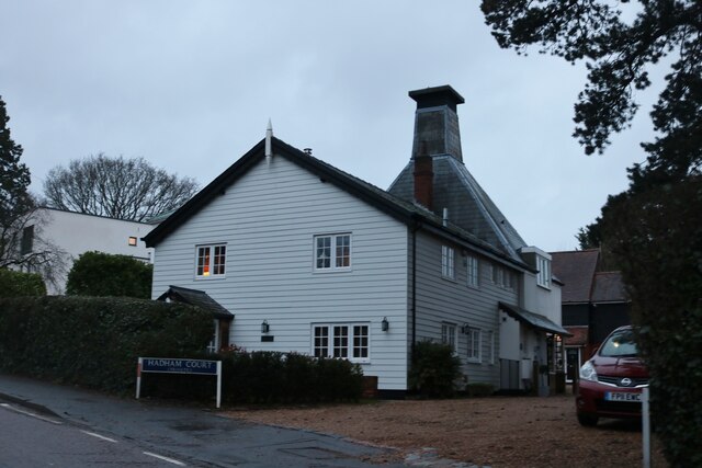
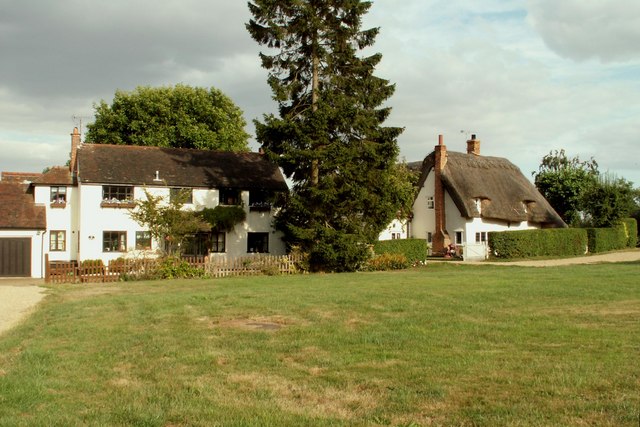
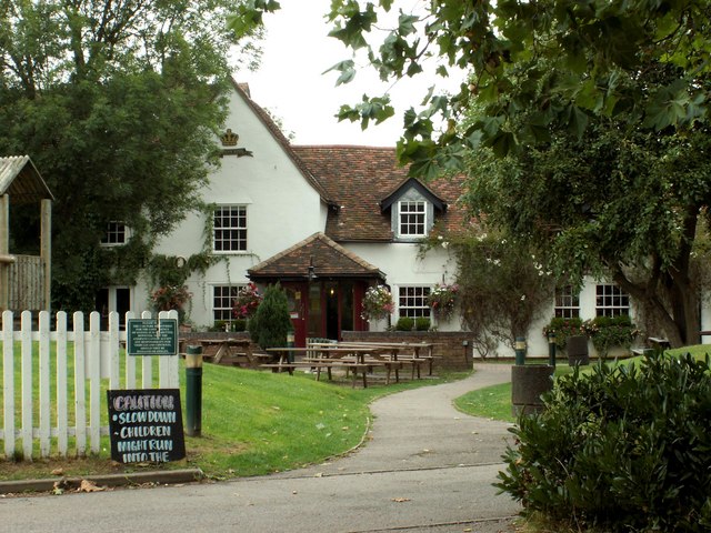
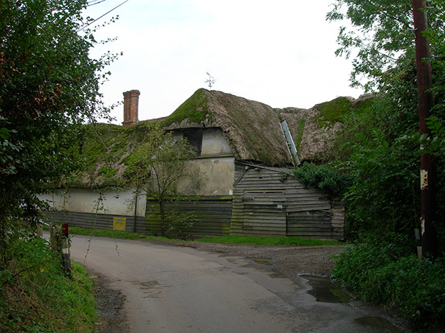
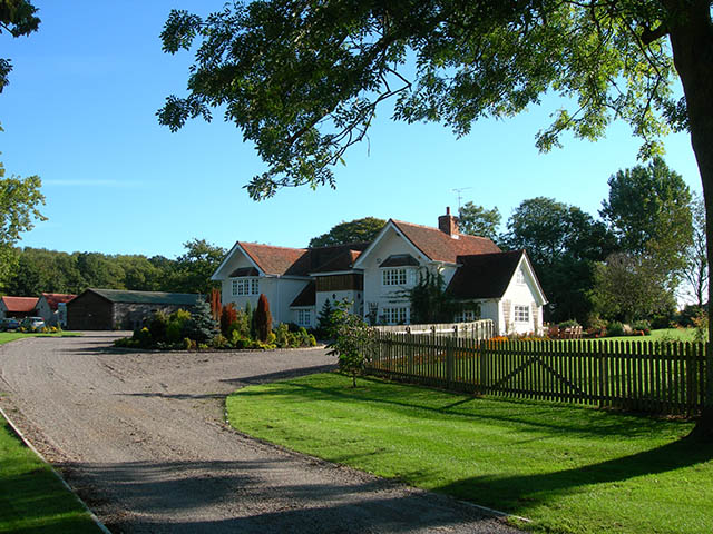
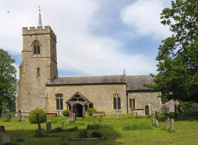
The village itself boasts a rich history, with origins dating back to medieval times. Many of the buildings in East Wood have a distinct Tudor architectural style, giving the village a unique and timeless character. The local church, St. Mary's, is a notable landmark and showcases stunning stained glass windows and intricate stone carvings.
Despite its rural setting, East Wood is well-connected to nearby towns and cities. The village has good transport links, with regular bus services and a train station just a short distance away. This accessibility makes East Wood an attractive option for those seeking a peaceful retreat while still having access to urban amenities.
In conclusion, East Wood is a hidden gem within Hertfordshire, offering a harmonious blend of natural beauty and historical charm. Whether it's exploring the enchanting woodlands or admiring the architectural wonders of the village, East Wood provides a truly idyllic setting for residents and visitors alike.
If you have any feedback on the listing, please let us know in the comments section below.
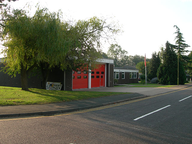
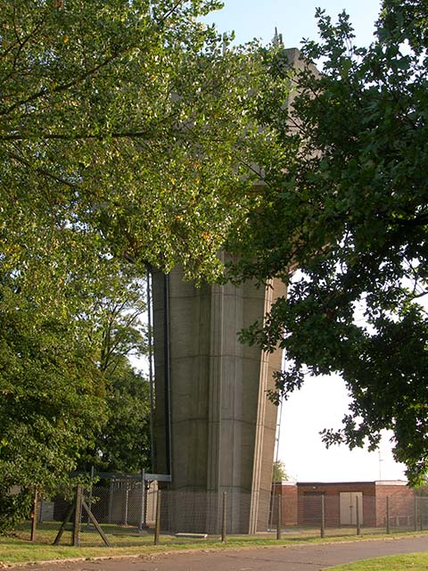
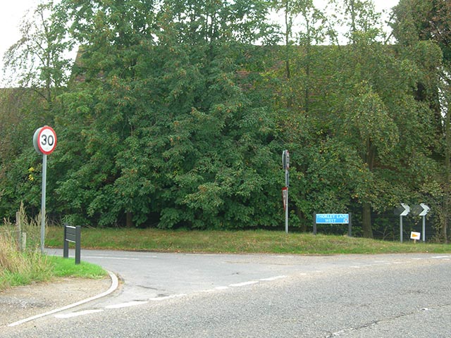
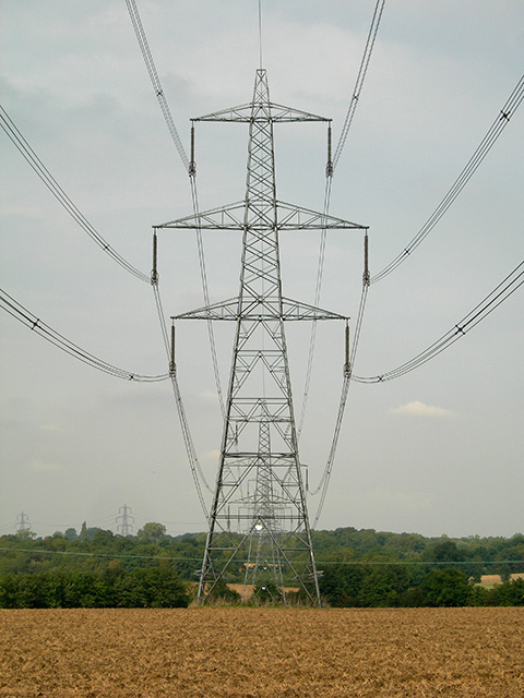
East Wood Images
Images are sourced within 2km of 51.873087/0.12176426 or Grid Reference TL4621. Thanks to Geograph Open Source API. All images are credited.
East Wood is located at Grid Ref: TL4621 (Lat: 51.873087, Lng: 0.12176426)
Administrative County: Hertfordshire
District: East Hertfordshire
Police Authority: Hertfordshire
What 3 Words
///noted.upper.bucket. Near Bishops Stortford, Hertfordshire
Nearby Locations
Related Wikis

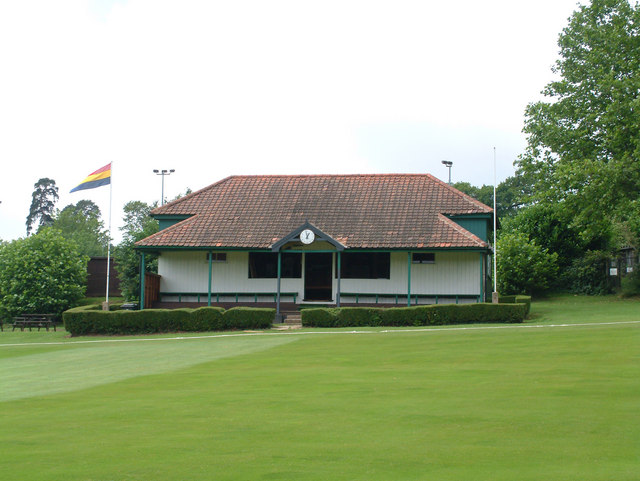
Cricket Field Lane
Cricketfield Lane is a cricket ground in Bishop's Stortford, Hertfordshire. The earliest recorded match on the ground was in 1862 between Bishop's Stortford...
Bishop's Stortford College
Bishop's Stortford College is a private boarding and day school in the English public school tradition for more than 1,200 pupils aged 4–18, situated in...

St Mary's Catholic School, Bishop's Stortford
St Mary's Catholic School is a Roman Catholic secondary school and sixth form located in Bishop's Stortford, Hertfordshire, England. == History == In 1896...

Boar's Head Inn, Bishop's Stortford
The Boar's Head Inn is a Grade II* listed public house in Bishop's Stortford, Hertfordshire, England. The timber framed building was built in the late...
Little Hadham
Little Hadham is a village and civil parish in the district of East Hertfordshire, Hertfordshire, England. At the census of 2001 it had a population of...
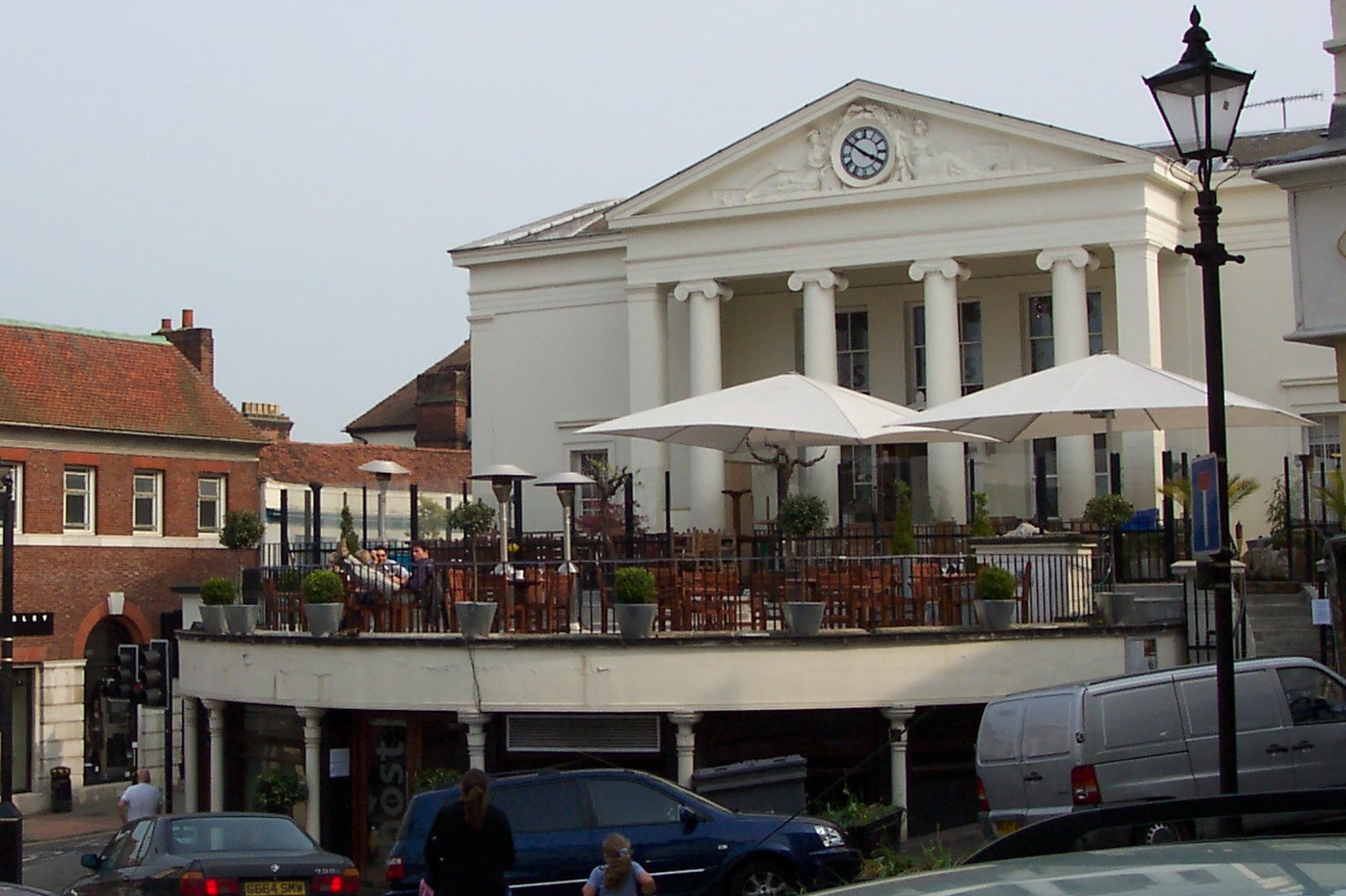
Corn Exchange, Bishop's Stortford
The Corn Exchange is a commercial building in the Market Square in Bishop's Stortford, Hertfordshire, England. The structure, which is currently used to...
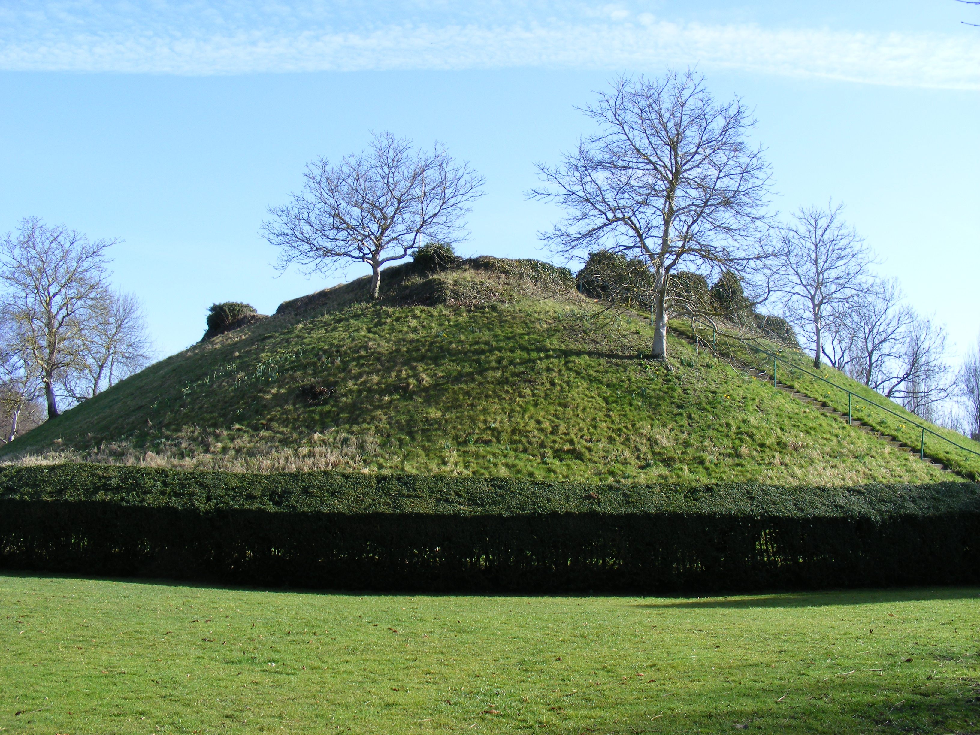
Waytemore Castle
Waytemore Castle is a ruined castle in the town of Bishop's Stortford in Hertfordshire, England. The remains are a Grade I listed structure.This began...

Bishop's Stortford railway station
Bishop's Stortford railway station is on the West Anglia Main Line serving the town of Bishop's Stortford in Hertfordshire, England. It is 30 miles 27...
Related Videos
Bishop's Stortford in England 🏴 - 4K walking Tour 2023
Bishop's Stortford is a historic market town in the London Commuter Belt. Based on the border of Hertfordshire and Essex, just ...

River Stort between Bishops Stortford and Sawbridgeworth.
Mornings walk along part of the River Stort. Change of scenery and River Stort was looking better than the forest for this mornings ...

15. Dealing With Idiots, And The Other Side Of Narrowboating In The Winter!
15. Dealing With Idiots, And The Other Side Of Narrowboating In The Winter! I Show The Not So Glamourous Side Of Narrowboat ...
Nearby Amenities
Located within 500m of 51.873087,0.12176426Have you been to East Wood?
Leave your review of East Wood below (or comments, questions and feedback).