Great Plantings Wood

Wood, Forest in Hertfordshire East Hertfordshire

England

Great Plantings Wood

Hadham Road, Bishop's Stortford
Hadham Road, Bishop's Stortford Credit: David Howard

Great Plantings Wood is a picturesque forest located in Hertfordshire, England. Covering an area of approximately 500 acres, this woodland is a haven for nature enthusiasts and offers a tranquil escape from the hustle and bustle of everyday life.

The wood is predominantly composed of native broadleaf trees such as oak, beech, and birch, creating a diverse and vibrant ecosystem. The dense foliage provides a habitat for a wide variety of flora and fauna, including bluebells, primroses, and wood anemones, as well as a range of bird species such as woodpeckers and owls.

Walking trails crisscross the wood, allowing visitors to explore its beauty at their own pace. The paths wind through the tall trees, offering glimpses of sun-dappled clearings and babbling brooks. Along the way, benches are strategically placed for visitors to rest and take in the stunning surroundings.

Great Plantings Wood is also home to several small ponds, which serve as a vital water source for local wildlife. These ponds are teeming with life, including frogs, newts, and dragonflies, adding to the diverse ecology of the area.

The wood is managed by a local conservation group, dedicated to preserving and enhancing its natural beauty. They organize regular events and activities, such as guided nature walks and educational workshops, to promote the importance of conservation and raise awareness about the local ecosystem.

Great Plantings Wood is not only a place of natural beauty but also a valuable resource for the community. Its accessibility and peaceful atmosphere make it a popular destination for both locals and tourists seeking solace in nature's embrace.

If you have any feedback on the listing, please let us know in the comments section below.

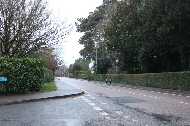
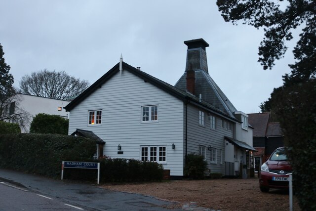
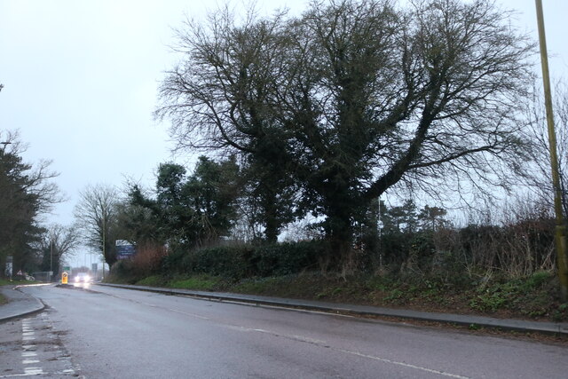
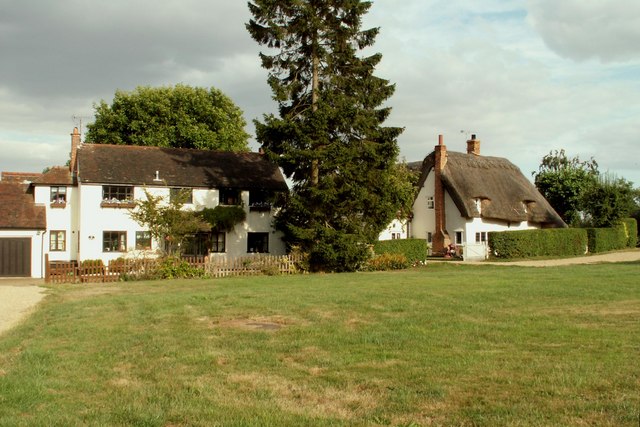
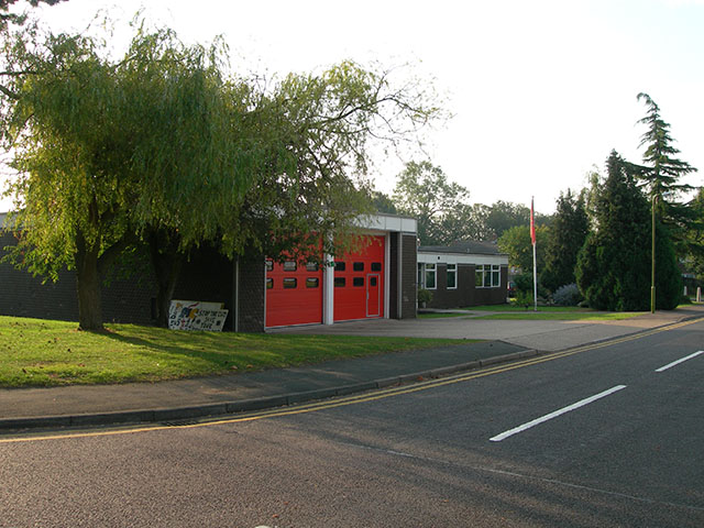
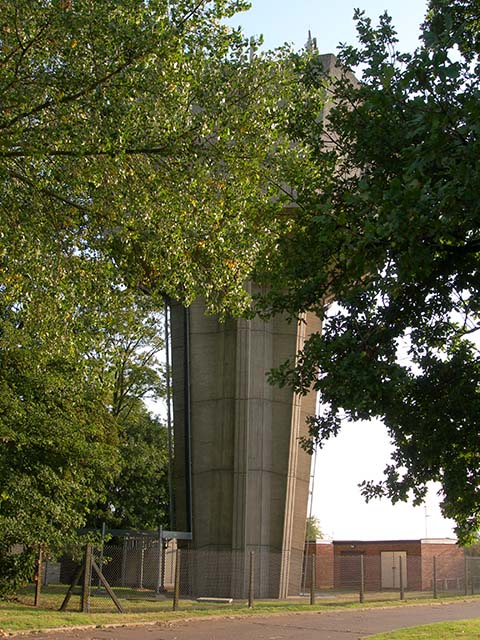
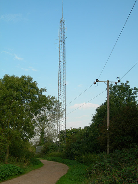
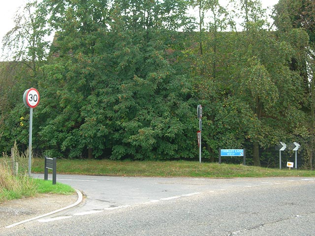
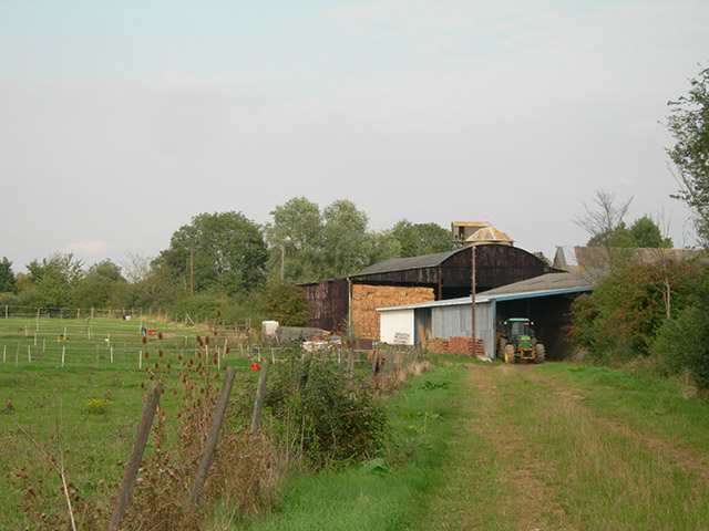
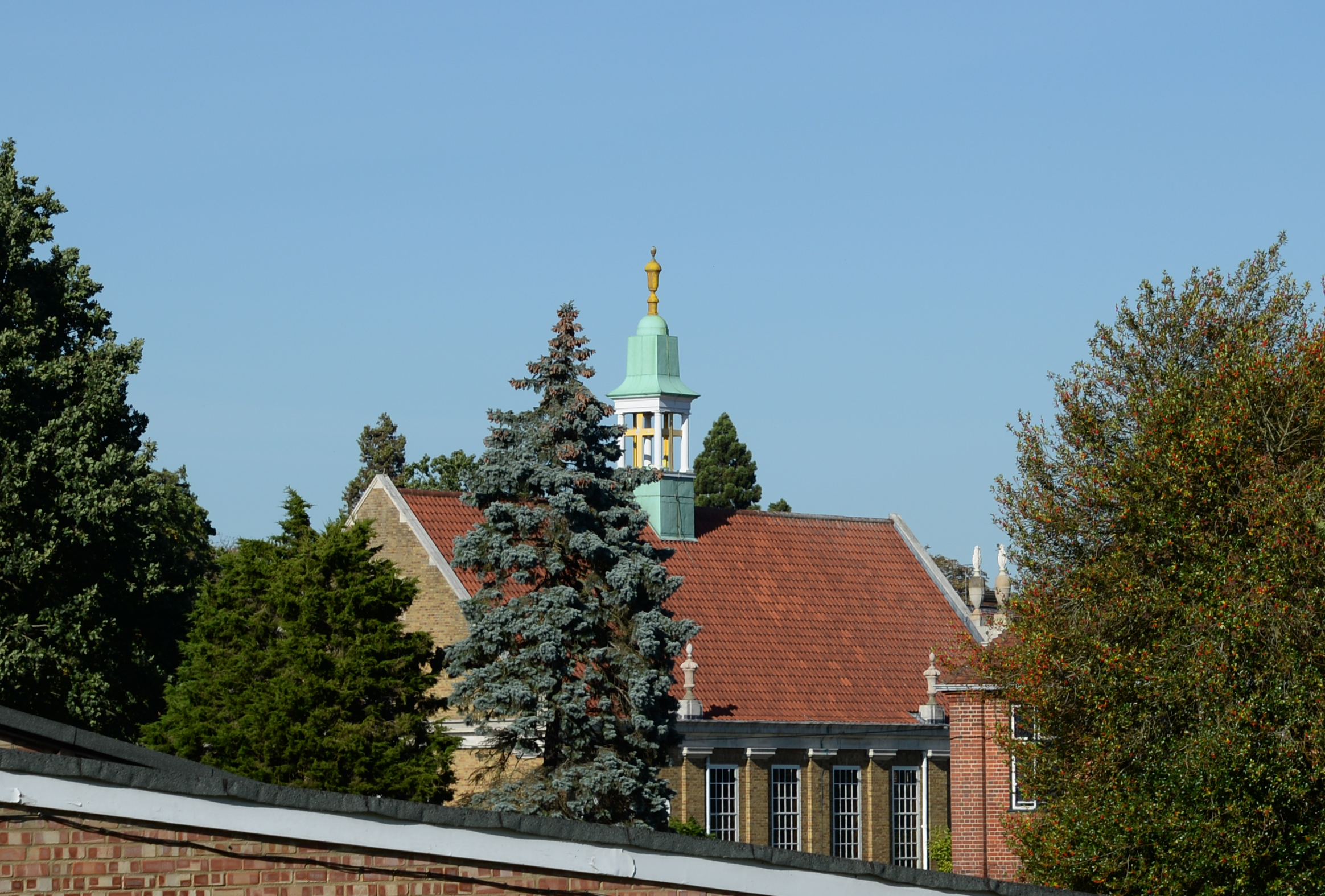
Great Plantings Wood Images

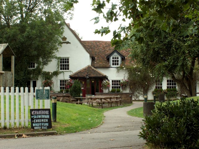
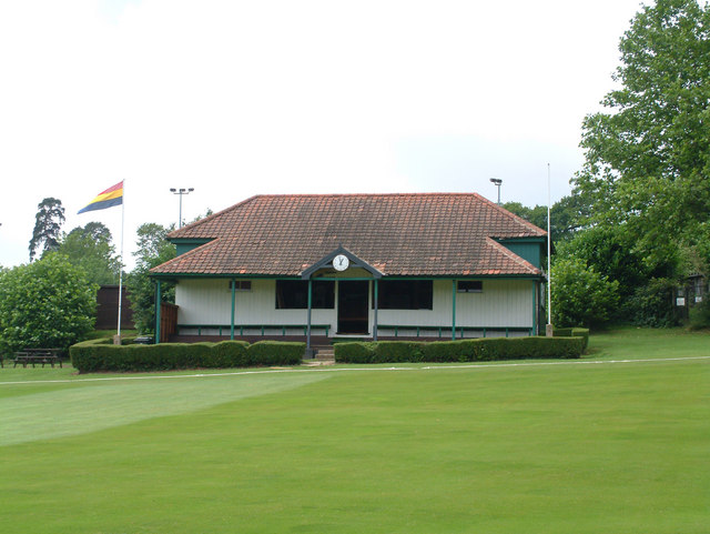
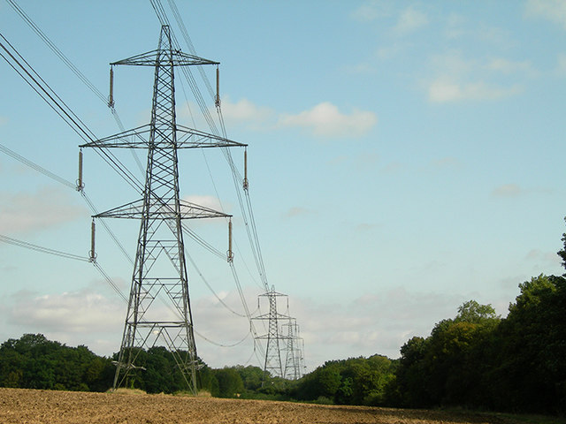
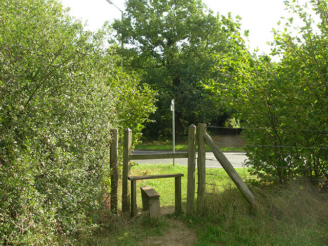
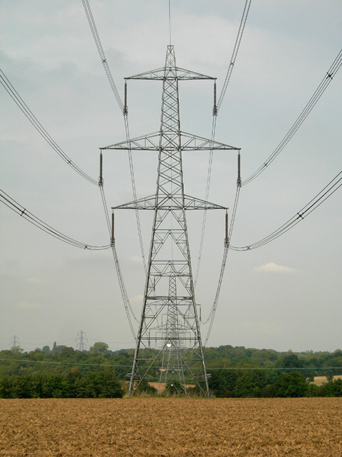
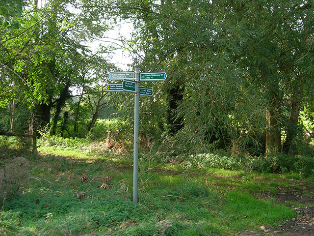
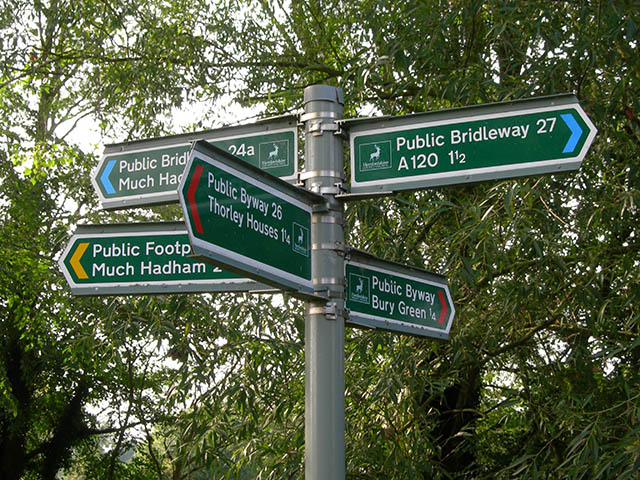
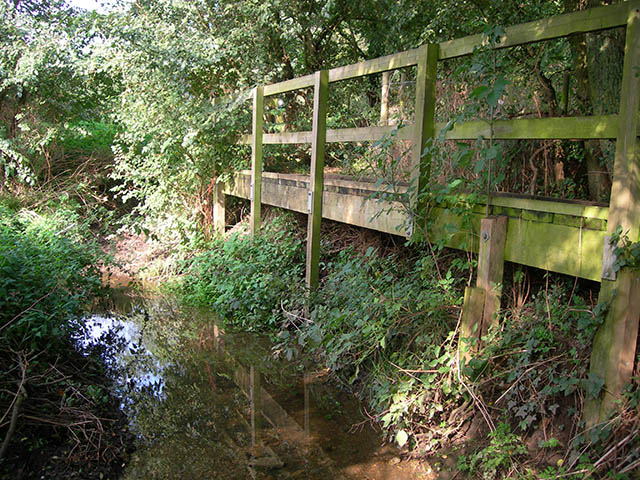
Images are sourced within 2km of 51.874729/0.12744934 or Grid Reference TL4621. Thanks to Geograph Open Source API. All images are credited.

Hadham Road, Bishop's Stortford
Hadham Court, Bishop's Stortford
Hadham Road, Bishop's Stortford
East Herts District Council Offices
Cottages at Bury Green, near Little Hadham, Herts.
'The Harvest Moon' inn, Bishop's Stortford, Herts. This building was once the farmhouse of Piggot's Farm.
'The Harvest Moon' inn, Bishop's Stortford, Herts.
This building was once the farmhouse of Piggot's Farm.
Old Cricket Pavilion, Bishop's Stortford, Herts This is the lovely old cricket pavilion at Cricketfield Lane, Bishop's Stortford, Herts.
Old Cricket Pavilion, Bishop's Stortford, Herts
This is the lovely old cricket pavilion at Cricketfield Lane, Bishop's Stortford, Herts.
Pylons The line of pylons crosses then marches alongside the footpath for a short distance
Pylons
The line of pylons crosses then marches alongside the footpath for a short distance
Stile at the A1184 Going east on the Hertfordshire Way, this is the last of open country, from here the Way goes into the centre of Bishop's Stortford
Stile at the A1184
Going east on the Hertfordshire Way, this is the last of open country, from here the Way goes into the centre of Bishop's Stortford
Bishop's Stortford fire and ambulance station The station is located to the NW of the town on the A1250
Bishop's Stortford fire and ambulance station
The station is located to the NW of the town on the A1250
Water tower The tower is at the SW corner of the reservoir which provides water to Bishop's Stortford
Water tower
The tower is at the SW corner of the reservoir which provides water to Bishop's Stortford
Radio tower Situated at the junction of bridleways near to Wickham Hall
Radio tower
Situated at the junction of bridleways near to Wickham Hall
Thorley Lane West The entrance to the lane from the B1004, Castle Farm is to the right
Thorley Lane West
The entrance to the lane from the B1004, Castle Farm is to the right
Power lines The power lines cross the cross the byway at GR TL45932041
Power lines
The power lines cross the cross the byway at GR TL45932041
Junction of paths A well-marked junction of five paths near Lower Farm, typical of many of the Hertfordshire footpaths.
Junction of paths
A well-marked junction of five paths near Lower Farm, typical of many of the Hertfordshire footpaths.
Close-up of signpost The signpost is at the junction of five footpaths near Lower Farm
Close-up of signpost
The signpost is at the junction of five footpaths near Lower Farm
Footbridge The path from Lower Farm towards Dane Bridge crosses this stream after 100m or so.
Footbridge
The path from Lower Farm towards Dane Bridge crosses this stream after 100m or so.
Clintons Farm and stables at the south end of Bury Green
Clintons
Farm and stables at the south end of Bury Green
Show me another place!

Great Plantings Wood is located at Grid Ref: TL4621 (Lat: 51.874729, Lng: 0.12744934)

Administrative County: Hertfordshire

District: East Hertfordshire

Police Authority: Hertfordshire

What 3 Words

///supper.vibrates.bossy. Near Bishops Stortford, Hertfordshire

Related Wikis

Cricket Field Lane

Cricketfield Lane is a cricket ground in Bishop's Stortford, Hertfordshire. The earliest recorded match on the ground was in 1862 between Bishop's Stortford...

Bishop's Stortford College

Bishop's Stortford College is a private boarding and day school in the English public school tradition for more than 1,200 pupils aged 4–18, situated in...

St Mary's Catholic School, Bishop's Stortford

St Mary's Catholic School is a Roman Catholic secondary school and sixth form located in Bishop's Stortford, Hertfordshire, England. == History == In 1896...

Boar's Head Inn, Bishop's Stortford

The Boar's Head Inn is a Grade II* listed public house in Bishop's Stortford, Hertfordshire, England. The timber framed building was built in the late...

Nearby Amenities

Located within 500m of 51.874729,0.12744934
Turning Circle
Lat/Long: 51.8728614/0.1336604
Turning Circle
Lat/Long: 51.8740798/0.1343676
Turning Circle
Lat/Long: 51.8734911/0.1338692
Power: tower
Lat/Long: 51.8735365/0.1236324
Power: tower
Lat/Long: 51.8768438/0.1254038
Bus Stop
Tesco
Bus: yes
Naptan AdministrativeAreaCode: 85
Naptan Area Name: Hertfordshire
Naptan AtcoAreaCode: 210
Naptan AtcoCode: 210021308605
Naptan Bearing: E
Naptan CommonName: Tesco
Naptan Crossing: Tesco Store
Naptan Indicator: o/s
Naptan Landmark: Unknown
Naptan LocalityName: Bishops Park
Naptan NaptanCode: hrtdptat
Naptan NptgLocalityCode: N0077339
Naptan PlusbusZoneRef: BSHPSFD
Naptan QualifierName: Bishops Stortford
Naptan ShortCommonName: NA
Naptan SourceLocalityType: Add
Naptan StopAreaCode: 210G250
Naptan StopAreaType: GPBS
Naptan StopArea Name: Tesco
Naptan Street: Lancaster Way
Naptan Verified: yes
Public Transport: platform
Shelter: yes
Source: NaPTAN + Survey
Lat/Long: 51.8745365/0.1345407
Recycling
Location: overground
Recycling Type: container
Lat/Long: 51.874572/0.1341301
Crossing
Crossing: unmarked
Crossing Island: no
Crossing Markings: no
Tactile Paving: yes
Lat/Long: 51.8762692/0.1305469
Crossing
Crossing: unmarked
Crossing Island: yes
Crossing Markings: no
Tactile Paving: yes
Lat/Long: 51.8766195/0.1339374
Barrier: swing_gate
Motor Vehicle: no
Lat/Long: 51.8765446/0.1276363
Compressed Air
Fee: yes
Manometer: yes
Payment Coins: yes
Lat/Long: 51.8747733/0.1346477
Waste Basket
Lat/Long: 51.8745527/0.1345498
Trolley Bay
Lat/Long: 51.8745928/0.1346175
Direction: both
Surface: cobblestone
Traffic Calming: bump
Lat/Long: 51.8735836/0.1343851
Man Made: street_cabinet
Lat/Long: 51.8745468/0.1339545
Crossing
Crossing: unmarked
Crossing Island: yes
Crossing Markings: no
Tactile Paving: yes
Lat/Long: 51.8776159/0.1249422
Crossing
Crossing: unmarked
Crossing Island: yes
Crossing Markings: no
Tactile Paving: yes
Lat/Long: 51.8776443/0.1250923
Traffic Calming: island
Lat/Long: 51.8776202/0.1250136
Crossing
Crossing: unmarked
Crossing Island: yes
Crossing Markings: no
Tactile Paving: yes
Lat/Long: 51.8771516/0.1255292
Crossing
Crossing: unmarked
Crossing Island: yes
Crossing Markings: no
Tactile Paving: yes
Lat/Long: 51.8772244/0.1256243
Traffic Calming: island
Lat/Long: 51.8771837/0.1255718
Turning Circle
Lat/Long: 51.8784345/0.1300624
Turning Loop
Lat/Long: 51.8782335/0.1238399
Information: guidepost
Tourism: information
Lat/Long: 51.8781931/0.1246239
Direction: -85
Traffic Sign: variable_message
Lat/Long: 51.8762368/0.1303071
Barrier: wicket_gate
Lat/Long: 51.8766385/0.127678
Information: guidepost
Tourism: information
Lat/Long: 51.8767276/0.1268113
Crossing
Crossing: unmarked
Crossing Island: no
Crossing Markings: no
Tactile Paving: no
Lat/Long: 51.8732568/0.1325753
Barrier: swing_gate
Lat/Long: 51.8760699/0.1305498
Information: guidepost
Tourism: information
Lat/Long: 51.8732348/0.1326747
Information: guidepost
Tourism: information
Lat/Long: 51.8732414/0.132495
Information: guidepost
Tourism: information
Lat/Long: 51.8776208/0.1247651
The data included in this document is from www.openstreetmap.org. The data is made available under ODbL.

Have you been to Great Plantings Wood?

Leave your review of Great Plantings Wood below (or comments, questions and feedback).