Park Wood
Wood, Forest in Kent Sevenoaks
England
Park Wood
Park Wood is a vibrant and picturesque neighborhood located in the county of Kent, England. Situated in the southern part of the city of Canterbury, Park Wood is known for its abundant green spaces and beautiful woodlands, making it an ideal place for nature lovers and outdoor enthusiasts.
Covering an area of approximately 200 acres, Park Wood is primarily composed of dense forests, which are home to a diverse range of flora and fauna. The woodlands are predominantly made up of oak, ash, and silver birch trees, creating a serene and tranquil atmosphere throughout the year. The trees provide shelter and food for a variety of wildlife, including birds, squirrels, and deer, making it a popular spot for wildlife enthusiasts and bird watchers.
In addition to its natural charm, Park Wood offers a range of recreational activities for visitors. The woodlands are crisscrossed with well-maintained footpaths, providing an opportunity for leisurely walks and bike rides. There are also several picnic areas and benches scattered throughout the woodlands, allowing visitors to relax and enjoy the peaceful surroundings.
Park Wood is easily accessible, with ample parking available nearby and regular bus services connecting it to the city center. The neighborhood also benefits from its close proximity to amenities such as shops, schools, and healthcare facilities, making it an attractive place to live for families and individuals alike.
Overall, Park Wood in Kent offers a unique blend of natural beauty, recreational opportunities, and convenient location, making it a cherished destination for locals and visitors seeking a peaceful escape from the bustling city life.
If you have any feedback on the listing, please let us know in the comments section below.
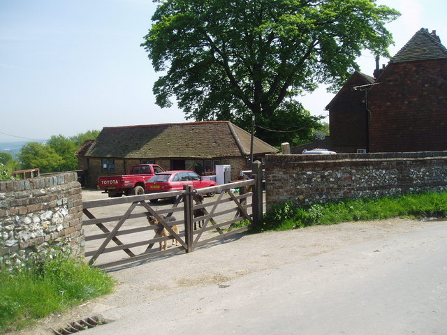
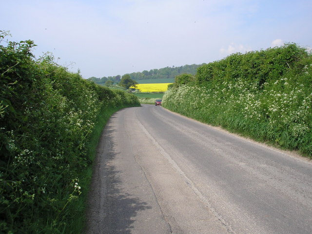
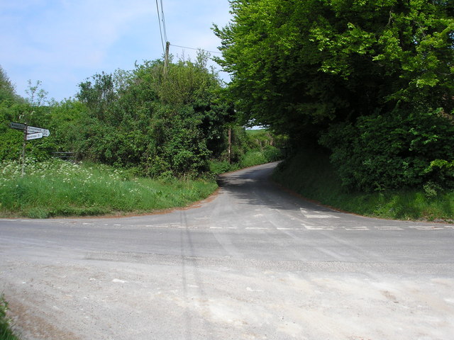
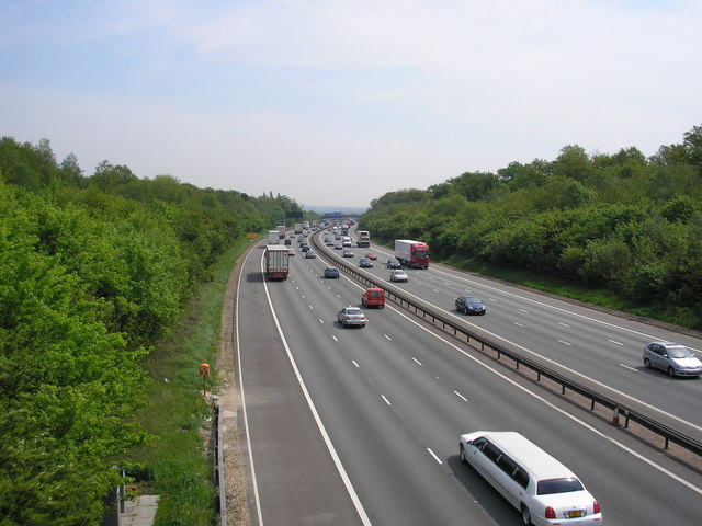
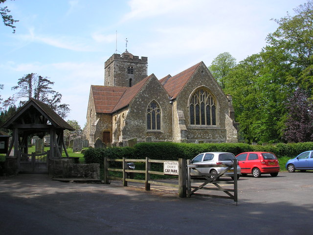
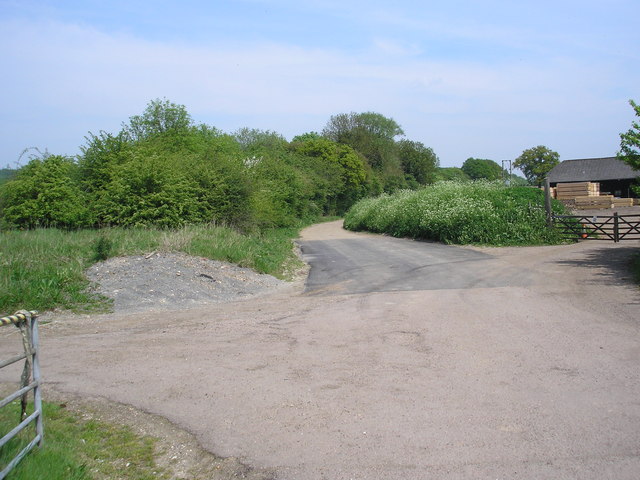
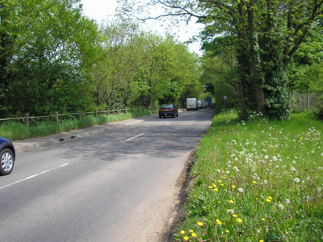
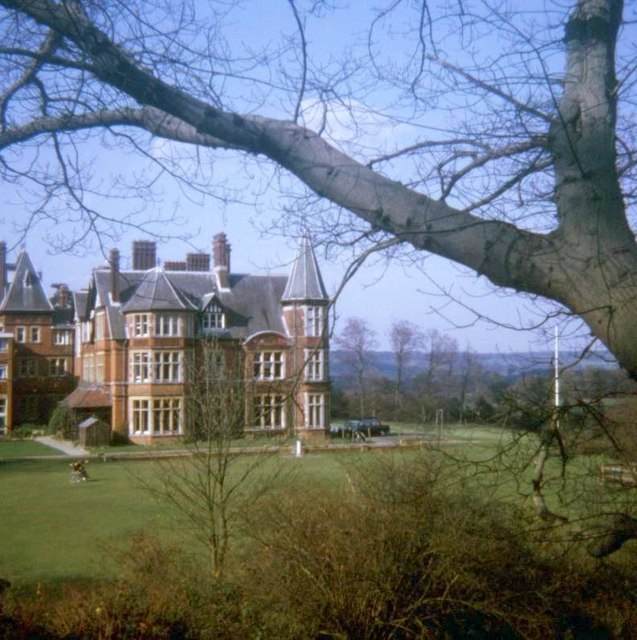
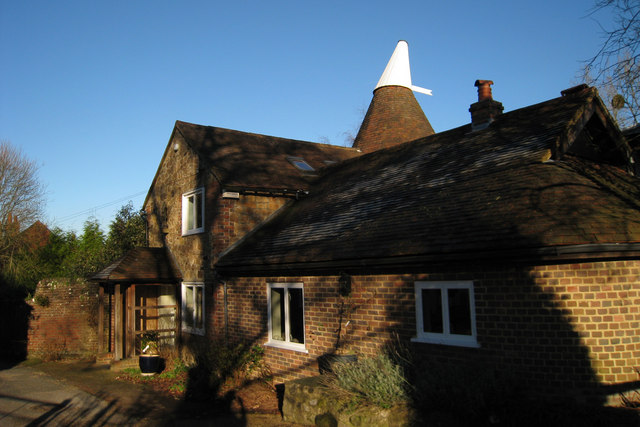
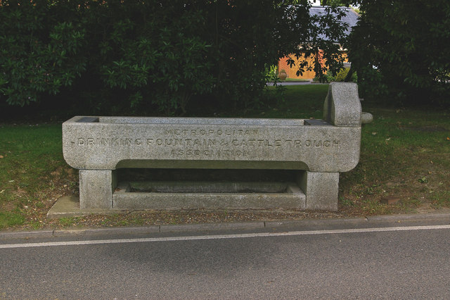
Park Wood Images
Images are sourced within 2km of 51.28163/0.094507426 or Grid Reference TQ4655. Thanks to Geograph Open Source API. All images are credited.


Park Wood is located at Grid Ref: TQ4655 (Lat: 51.28163, Lng: 0.094507426)
Administrative County: Kent
District: Sevenoaks
Police Authority: Kent
What 3 Words
///talked.chefs.boxer. Near Sundridge, Kent
Nearby Locations
Related Wikis

Brasted railway station
Brasted is a disused intermediate railway station in Brasted, Kent on the closed Westerham Valley branch line. The station closed in 1961 and the site...

R. Durtnell & Sons
R. Durtnell & Sons was an English building company established in 1591 that had been continuously in the same family in Brasted, in the English county...

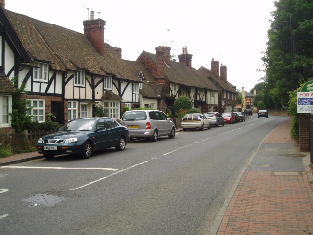
Brasted
Brasted is a village and civil parish in the Sevenoaks District of Kent, England. Brasted lies on the A25 road, between Sundridge and Westerham; the road...

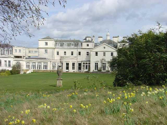
Radnor House Sevenoaks School
Radnor House Sevenoaks School (formerly Combe Bank School) is a coeducational private day school located in Sundridge (near Sevenoaks) in the English county...
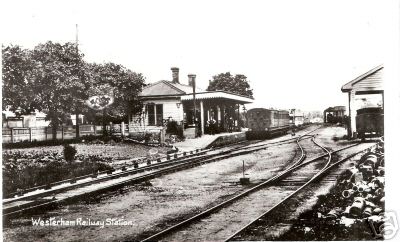
Westerham railway station
Westerham railway station served the village of Westerham in Kent from 1881 until its closure in 1961. == History == No railway was ever constructed all...

Pilgrims' Way
The Pilgrims' Way (also Pilgrim's Way or Pilgrims Way) is the historical route supposedly taken by pilgrims from Winchester in Hampshire, England, to the...

Westerham
Westerham is a town and civil parish in the Sevenoaks District of Kent, England. It is located 3.4 miles east of Oxted and 6 miles west of Sevenoaks, adjacent...

Quebec House
Quebec House is the birthplace of General James Wolfe on what is now known as Quebec Square in Westerham, Kent, England. The house is listed Grade I on...
Nearby Amenities
Located within 500m of 51.28163,0.094507426Have you been to Park Wood?
Leave your review of Park Wood below (or comments, questions and feedback).