Rounds Wood
Wood, Forest in Kent
England
Rounds Wood
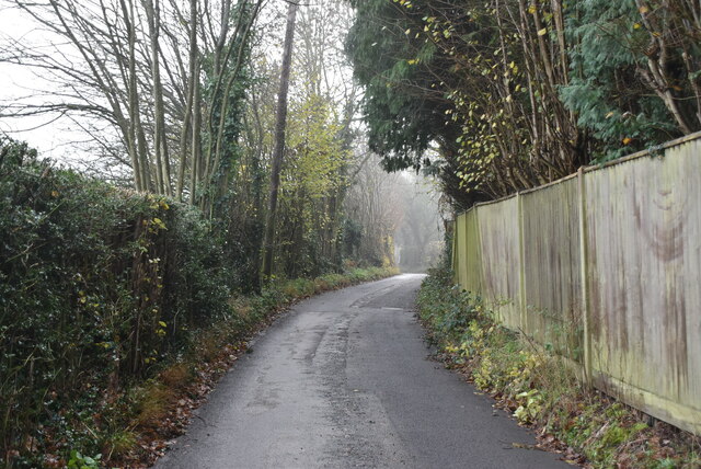
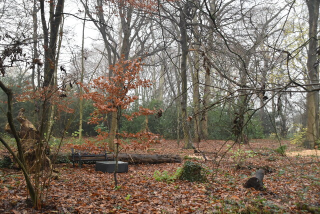
Rounds Wood, located in the county of Kent, England, is a serene and picturesque forest area that covers an extensive area of land. This woodland, also known as Wood, Forest, is renowned for its natural beauty and diverse flora and fauna.
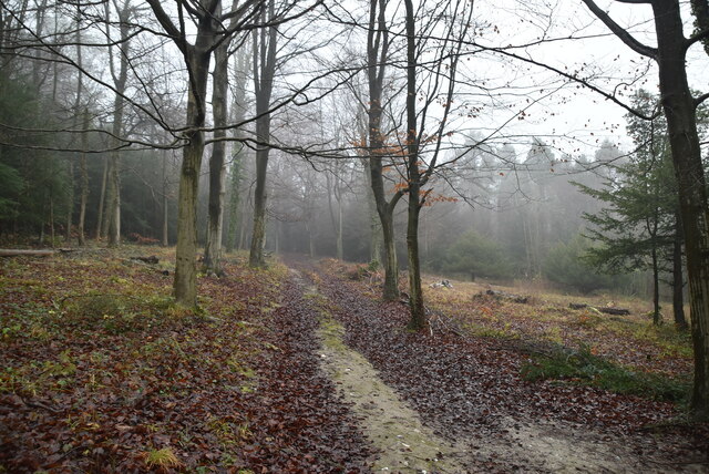
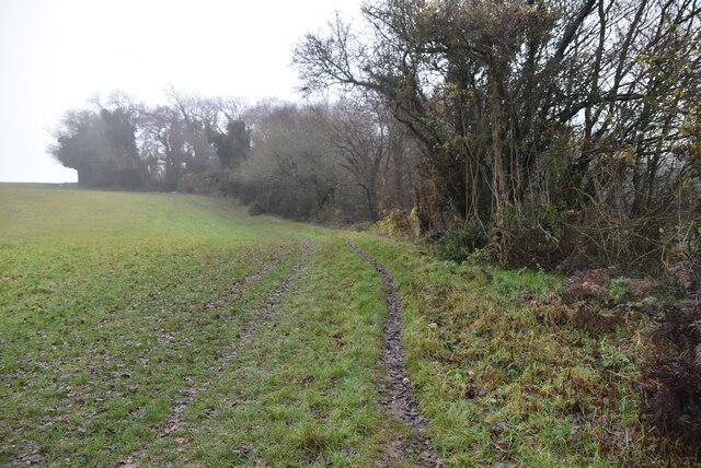
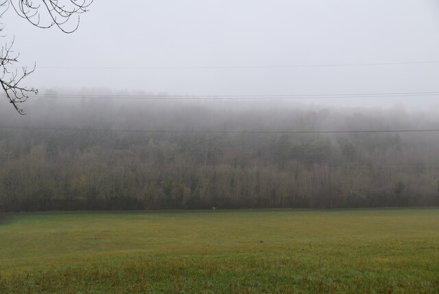
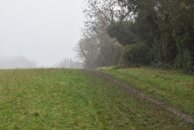
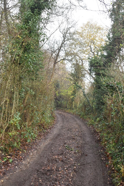
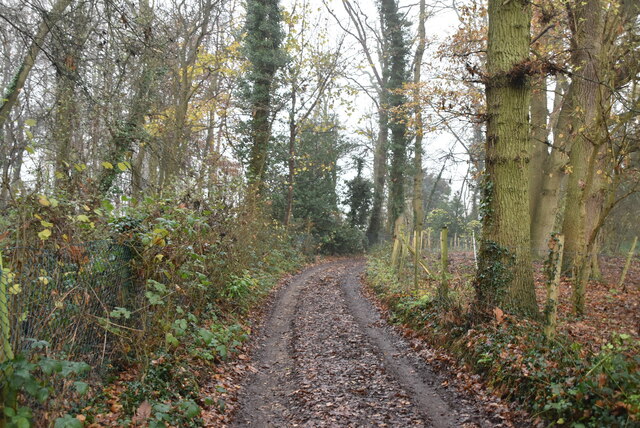
The woodland is characterized by a dense canopy of trees, including oak, beech, and chestnut, providing ample shade and creating a tranquil atmosphere. The forest floor is carpeted with a myriad of wildflowers, creating a vibrant and colorful display during the spring and summer months.
Rounds Wood is home to a variety of wildlife, making it a popular destination for nature enthusiasts and bird watchers. Visitors may catch a glimpse of species such as deer, foxes, badgers, and a wide range of bird species, including woodpeckers, owls, and warblers. The forest is also known for its rich insect life, with butterflies and dragonflies fluttering amongst the foliage.
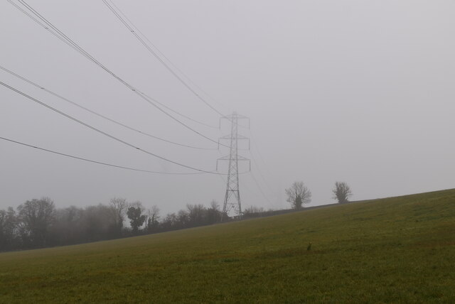
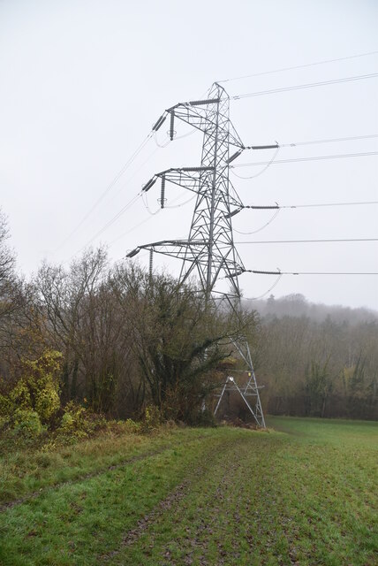
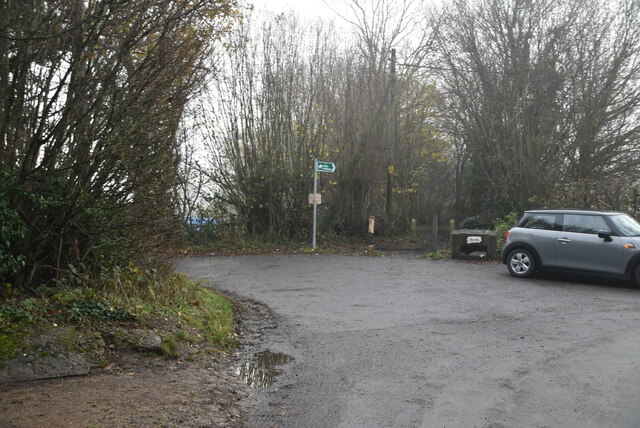
The wood offers numerous walking trails and paths, allowing visitors to explore its beauty at their own pace. These trails vary in length and difficulty, catering to both casual walkers and more avid hikers. Along these paths, visitors can discover hidden glades, babbling brooks, and small ponds, adding to the enchanting atmosphere of the woodland.
Rounds Wood, with its natural charm and peaceful ambiance, provides a sanctuary for both nature lovers and those seeking respite from the hustle and bustle of everyday life.
If you have any feedback on the listing, please let us know in the comments section below.
Rounds Wood Images
Images are sourced within 2km of 51.347763/0.0966458 or Grid Reference TQ4663. Thanks to Geograph Open Source API. All images are credited.
Rounds Wood is located at Grid Ref: TQ4663 (Lat: 51.347763, Lng: 0.0966458)
Unitary Authority: Bromley
Police Authority: Metropolitan
What 3 Words
///only.entire.atom. Near Farnborough, London
Nearby Locations
Related Wikis

Green Street Green
Green Street Green is an area in south-east London, located in the London Borough of Bromley and, prior to 1965, in the historic county of Kent. It is...

Chelsfield railway station
Chelsfield railway station is on the South Eastern Main Line, serving the Chelsfield and Green Street Green areas south of Orpington, in the London Borough...

Orpington (UK Parliament constituency)
Orpington is a constituency created in 1945 and represented in the House of Commons of the UK Parliament since 2019 by Gareth Bacon, a Conservative. It...

Pratt's Bottom
Pratt's Bottom is a village in Greater London, England, within the London Borough of Bromley and, prior to 1965, within the historic county of Kent. It...

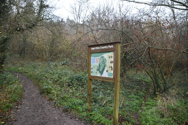
High Elms Country Park
High Elms Country Park is an extensive 250-acre (100 ha) public park on the North Downs in Farnborough in the London Borough of Bromley. It is a Local...

Orpington Hospital
Orpington Hospital is an acute general hospital in Orpington, London. It is managed by the King's College Hospital NHS Foundation Trust. == History... ==

London Borough of Bromley
The London Borough of Bromley ( ) is the largest and southeasternmost of the London boroughs that make up Greater London, bordering the county of Kent...

Hewitt's Chalk Bank
Hewitt's Chalk Bank is a 4-hectare (10-acre) nature reserve north-east of Pratt's Bottom in the London Borough of Bromley. It is managed by the Kent Wildlife...
Nearby Amenities
Located within 500m of 51.347763,0.0966458Have you been to Rounds Wood?
Leave your review of Rounds Wood below (or comments, questions and feedback).