Arnold's Spring
Wood, Forest in Essex Uttlesford
England
Arnold's Spring
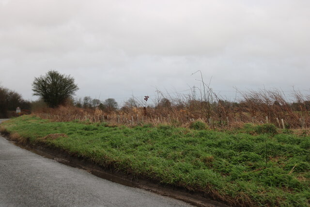
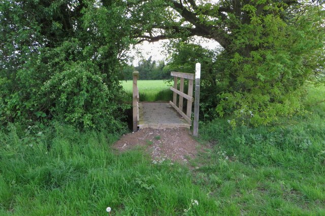
Arnold's Spring is a picturesque woodland area located in Essex, England. Situated within the larger Wood Forest, this tranquil spot is a haven for nature enthusiasts and those seeking a peaceful retreat from the bustling city.
Covering an area of approximately 50 hectares, Arnold's Spring is characterized by dense woodlands, rolling hills, and a charming spring that meanders through the landscape. The spring itself is a natural water source that emerges from underground, adding to the area's scenic beauty and nurturing a diverse ecosystem.
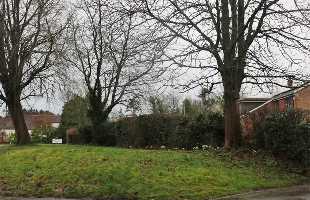
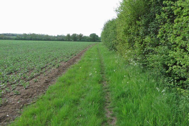
The woodland is predominantly made up of deciduous trees, including oak, beech, and birch, which create a vibrant and ever-changing display of colors throughout the seasons. This rich variety of flora also supports a wide range of wildlife, making Arnold's Spring a popular spot for birdwatching and nature photography. Visitors can expect to spot various species of birds, squirrels, rabbits, and even the occasional deer.
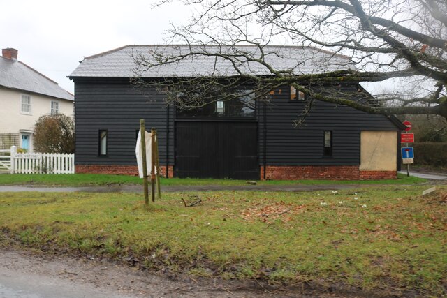
The woodland offers a network of well-maintained walking trails, allowing visitors to explore the area at their own pace. These trails provide stunning views of the surrounding countryside and are suitable for all ages and fitness levels. Along the way, benches and picnic areas are scattered throughout, providing opportunities for rest and relaxation.
Arnold's Spring is managed by the local authorities, who ensure the preservation of its natural beauty and the protection of its wildlife. The area is easily accessible by car, with a designated parking area available for visitors.
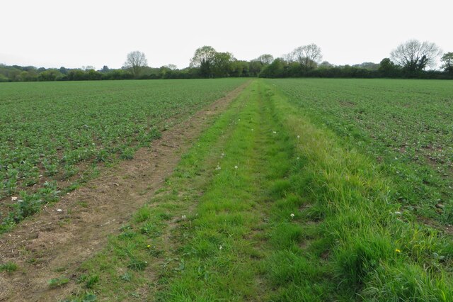
Overall, Arnold's Spring offers a delightful escape into nature, allowing visitors to immerse themselves in the peaceful ambiance of the Essex countryside. Whether it's for a leisurely stroll, a family picnic, or wildlife spotting, this enchanting woodland is sure to leave a lasting impression.
If you have any feedback on the listing, please let us know in the comments section below.
Arnold's Spring Images
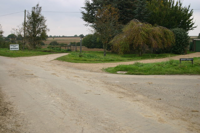
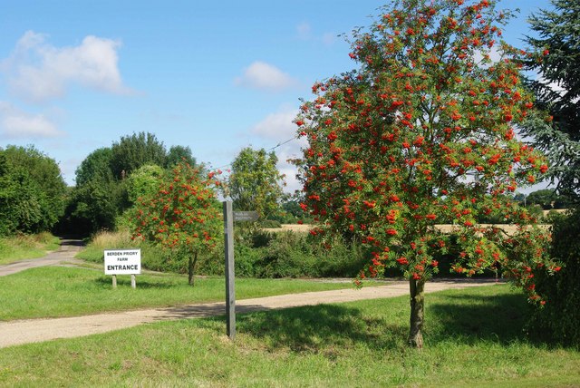
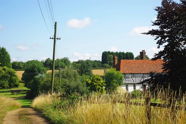
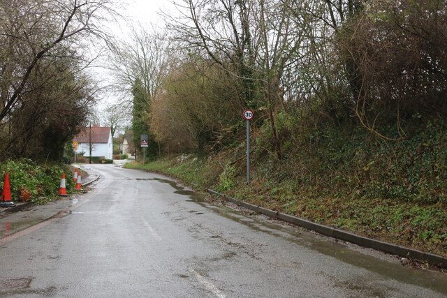
Images are sourced within 2km of 51.948407/0.12373176 or Grid Reference TL4629. Thanks to Geograph Open Source API. All images are credited.


Arnold's Spring is located at Grid Ref: TL4629 (Lat: 51.948407, Lng: 0.12373176)
Administrative County: Essex
District: Uttlesford
Police Authority: Essex
What 3 Words
///mountain.incur.assurance. Near Stansted Mountfitchet, Essex
Nearby Locations
Related Wikis

St Nicholas' Church, Berden
St Nicholas' Church is a Grade I listed parish church in the village of Berden, Essex, England. Of the Early English Gothic style, the church has a Norman...

Berden Hall
Berden Hall is a Grade II* listed Elizabethan country house in Berden, in the Uttlesford District of Essex, England. The house was built in the 1580s....
Berden Priory
Berden Priory was a priory in Essex, England. This site now has a Grade II* listed late 16th-century timber-framed house, the centre of Berden Priory Farm...

Berden
Berden is a village and civil parish in Essex, England. Berden village is approximately 6 miles (10 km) north from Bishop's Stortford, Hertfordshire and...
Related Videos


A Clavering Circular. 14/4/21
Around 8.5 miles of walking in North West Essex, courtesy of Essex Walks.com. It was another chill, breezy April day, with grey ...

Development Opportunity In Clavering, Saffron Walden, Essex
A rare opportunity to purchase a building plot for a one-and-a-half-storey dwelling in the sought-after village of Clavering. The plot ...
Nearby Amenities
Located within 500m of 51.948407,0.12373176Have you been to Arnold's Spring?
Leave your review of Arnold's Spring below (or comments, questions and feedback).