Easingwell Pond
Lake, Pool, Pond, Freshwater Marsh in Essex Uttlesford
England
Easingwell Pond
Easingwell Pond is a picturesque freshwater marsh located in Essex, England. Covering an area of approximately 10 acres, it serves as a serene haven for various species of flora and fauna. The pond is situated within the Easingwell Nature Reserve, surrounded by lush greenery and offering a tranquil escape from the hustle and bustle of nearby towns.
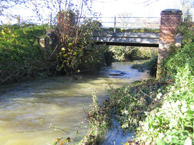
The pond itself is a natural water body, serving as a habitat for a wide range of aquatic life. Its calm waters are home to a plethora of freshwater plants, including lilies, water hyacinths, and reeds, which provide shelter and food for many species. These plants also contribute to the overall beauty and serenity of the pond.
Easingwell Pond is teeming with diverse wildlife. Visitors can often spot a variety of water birds such as swans, ducks, and herons gracefully gliding across the surface. The pond is also inhabited by fish species like carp and perch, adding to the biodiversity of the area.
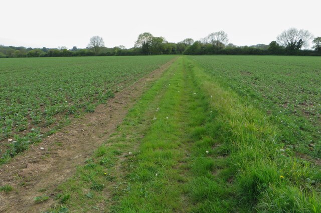
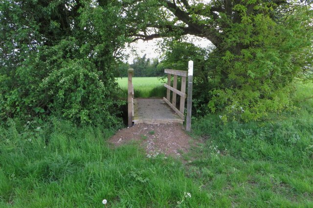
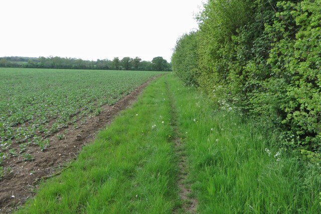
Surrounding the pond is a network of footpaths and trails, allowing visitors to explore the surrounding wetlands and observe the wildlife up close. The peaceful atmosphere and natural beauty of Easingwell Pond make it a popular destination for nature lovers, birdwatchers, and photographers.
The pond is open to the public throughout the year, providing a wonderful opportunity to connect with nature and appreciate the tranquility of this freshwater marsh. Whether it's a leisurely stroll, birdwatching, or simply enjoying the serene surroundings, Easingwell Pond offers a refreshing escape into the natural world.
If you have any feedback on the listing, please let us know in the comments section below.
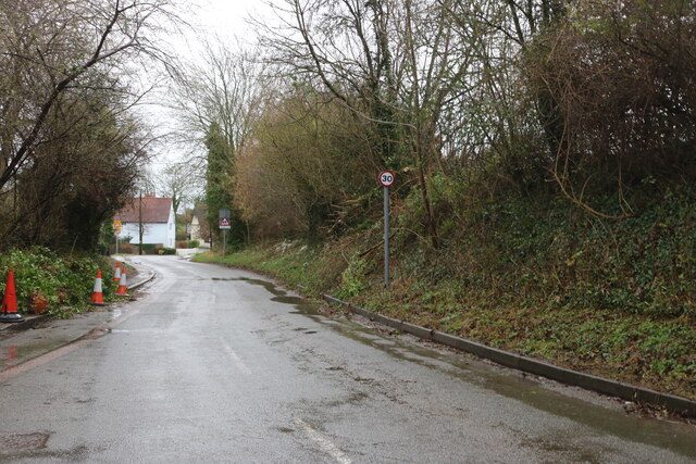
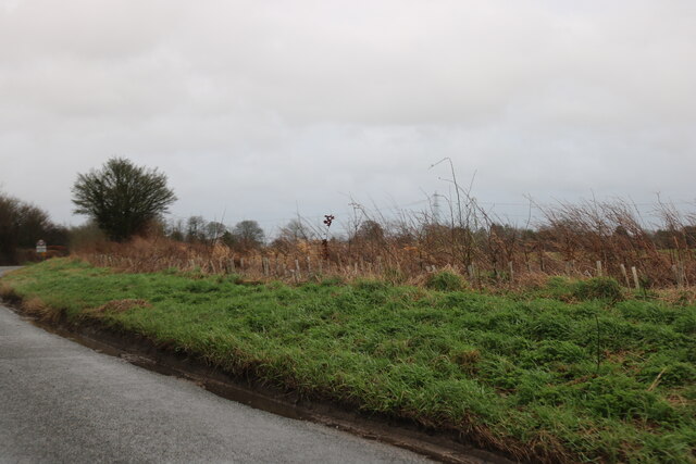
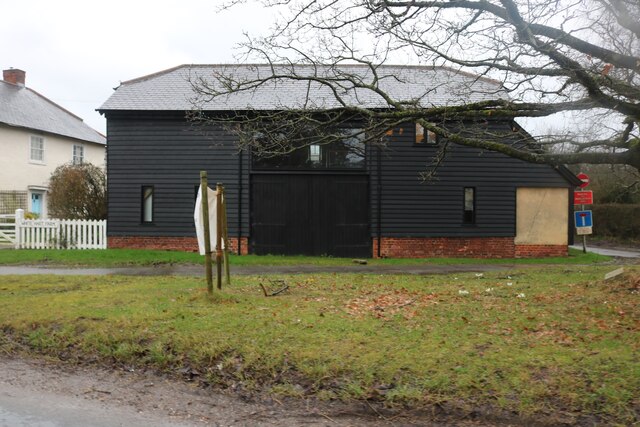
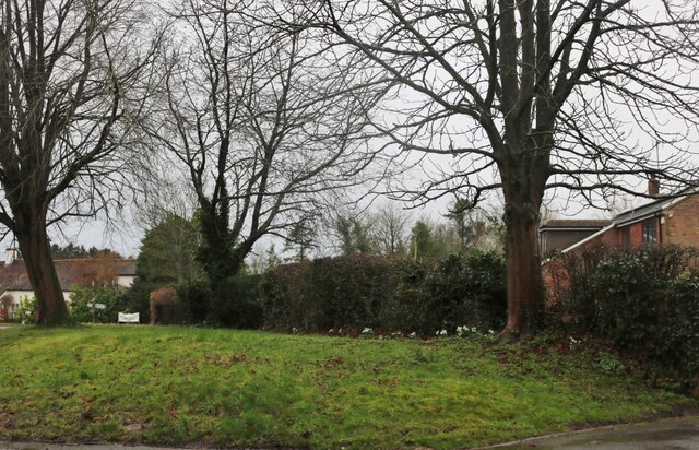
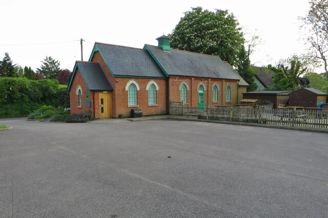
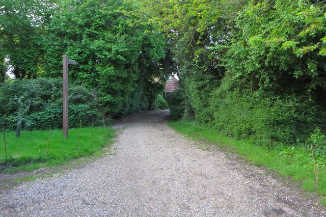
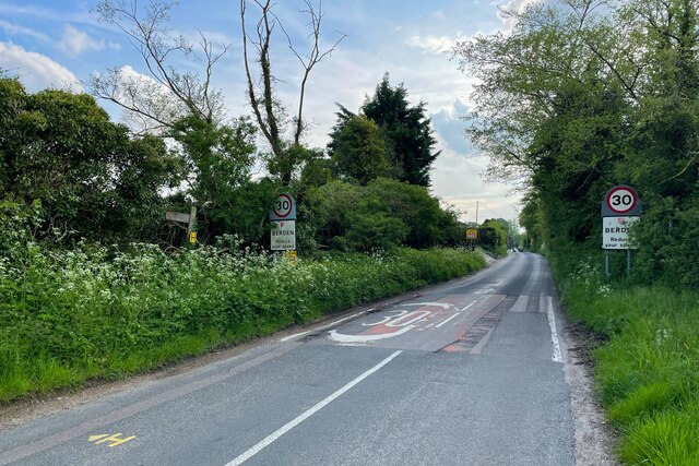
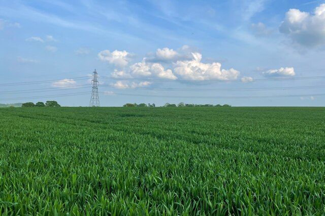
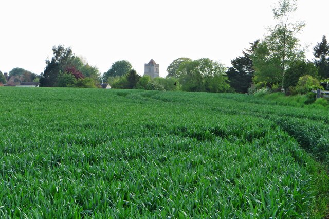
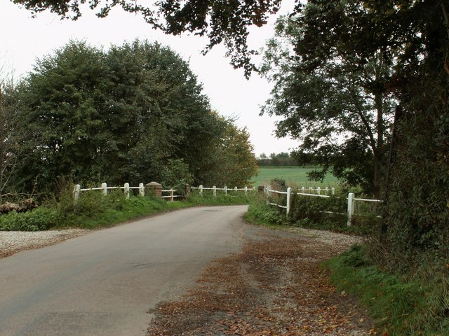
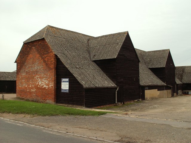
Easingwell Pond Images
Images are sourced within 2km of 51.942021/0.13522992 or Grid Reference TL4629. Thanks to Geograph Open Source API. All images are credited.
Easingwell Pond is located at Grid Ref: TL4629 (Lat: 51.942021, Lng: 0.13522992)
Administrative County: Essex
District: Uttlesford
Police Authority: Essex
What 3 Words
///treatment.dugouts.defeated. Near Stansted Mountfitchet, Essex
Nearby Locations
Related Wikis

Berden Hall
Berden Hall is a Grade II* listed Elizabethan country house in Berden, in the Uttlesford District of Essex, England. The house was built in the 1580s....

St Nicholas' Church, Berden
St Nicholas' Church is a Grade I listed parish church in the village of Berden, Essex, England. Of the Early English Gothic style, the church has a Norman...
Berden Priory
Berden Priory was a priory in Essex, England. This site now has a Grade II* listed late 16th-century timber-framed house, the centre of Berden Priory Farm...

Berden
Berden is a village and civil parish in Essex, England. Berden village is approximately 6 miles (10 km) north from Bishop's Stortford, Hertfordshire and...

Stocking Pelham
Stocking Pelham is a village and civil parish in the East Hertfordshire district of Hertfordshire, England. It is located on the border with Essex, around...

Wicken Bonhunt
Wicken Bonhunt is a village and a civil parish of north-west Essex, in the non-metropolitan district of Uttlesford, England. It is on the B1038 (Buntingford...
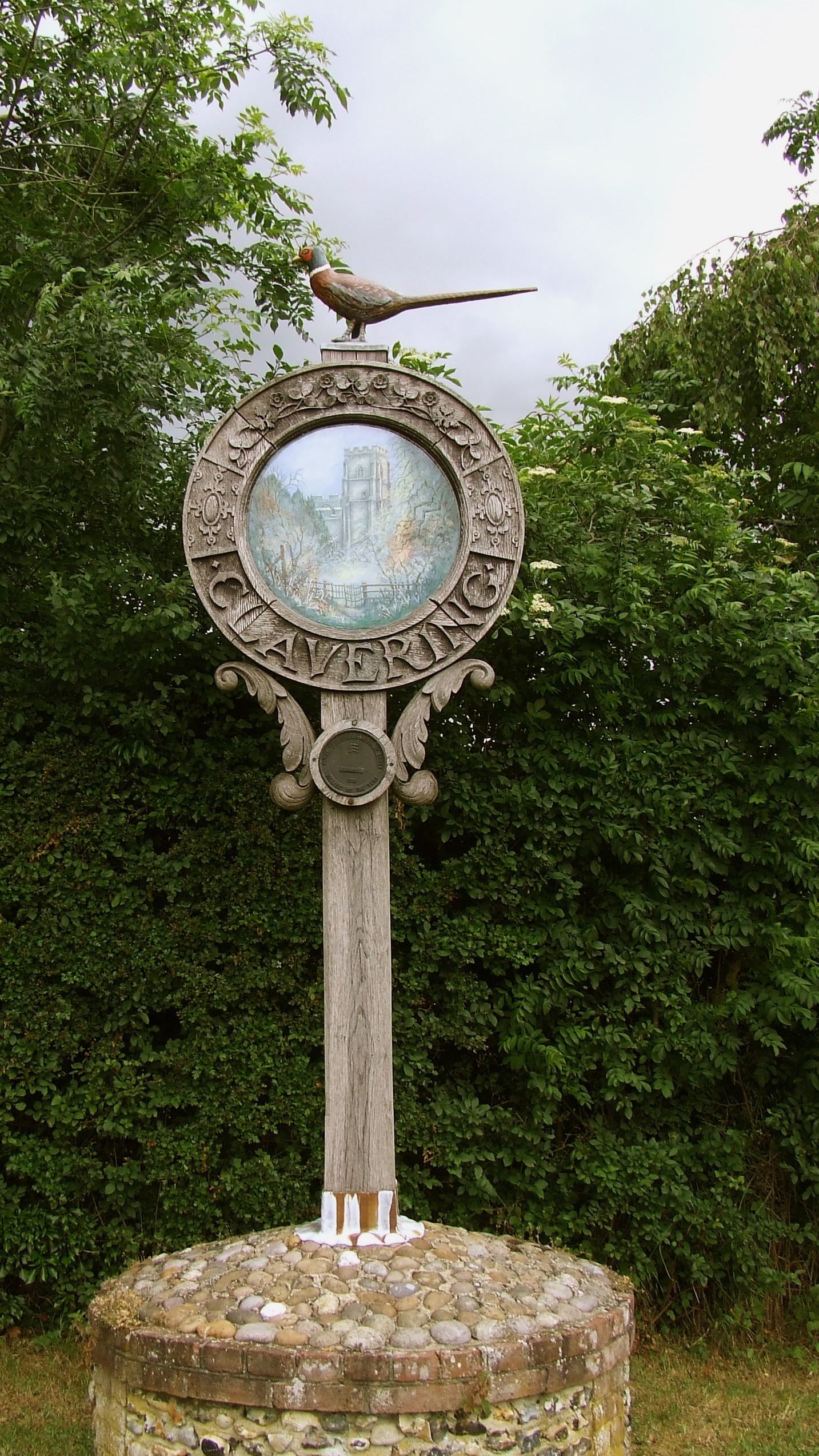
Clavering, Essex
Clavering is a village and also a parish in north-west Essex in England. It is about 20 miles (32 km) from Cambridge and 50 miles (80 km) from Southend...

Clavering Castle
Clavering Castle remains are situated in the small parish village of Clavering in the county of Essex, England, 50m north of the church of St Mary and...
Nearby Amenities
Located within 500m of 51.942021,0.13522992Have you been to Easingwell Pond?
Leave your review of Easingwell Pond below (or comments, questions and feedback).