Woodlands
Wood, Forest in Kent Sevenoaks
England
Woodlands
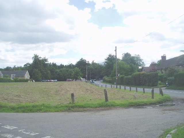
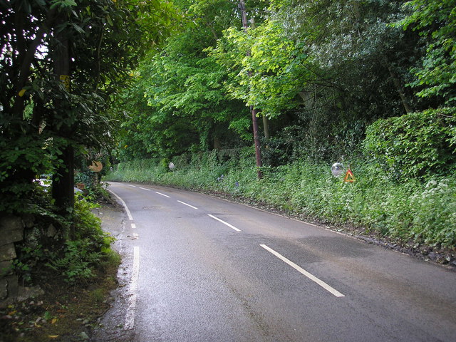
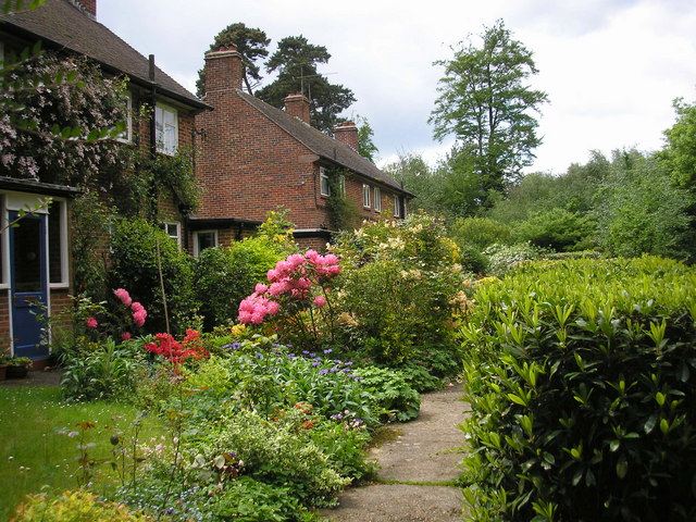
Woodlands is a small village located in the county of Kent, England. Situated in the district of Gravesham, it is nestled within the scenic North Downs, surrounded by beautiful woodlands and forests. The village gets its name from the abundance of trees and greenery that characterizes the area.
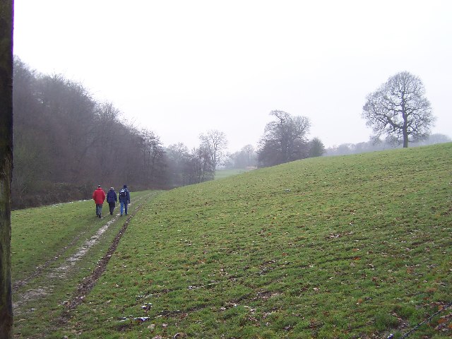
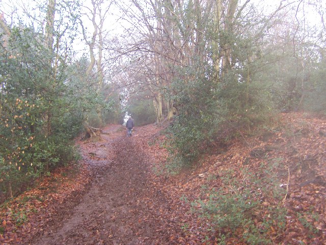
Woodlands is home to a close-knit community, with a population of around 500 residents. The village is known for its peaceful and rural setting, offering a tranquil escape from the hustle and bustle of nearby towns and cities. The natural beauty of the surrounding woodlands provides ample opportunities for outdoor activities such as hiking, cycling, and bird-watching.
The village boasts several historical landmarks and points of interest. The Grade II listed St. Mary's Church, dating back to the 13th century, is a prominent feature in the village. Its architectural charm and historical significance attract visitors and locals alike. Additionally, the nearby Shorne Wood Country Park offers a vast expanse of natural beauty, with woodland walks, picnic areas, and a visitor center.
Woodlands benefits from good transport links, with the A2 road passing nearby, providing easy access to London and other major cities. The village is also served by regular bus services, connecting it to surrounding towns and villages.
In terms of amenities, Woodlands has a village hall, a local pub, and a primary school, catering to the needs of its residents. The village has a strong sense of community spirit, with various events and activities organized throughout the year to bring residents together.
Overall, Woodlands, Kent offers a picturesque and peaceful setting, making it an ideal place for those seeking a rural lifestyle with easy access to modern amenities and nearby urban centers.
If you have any feedback on the listing, please let us know in the comments section below.
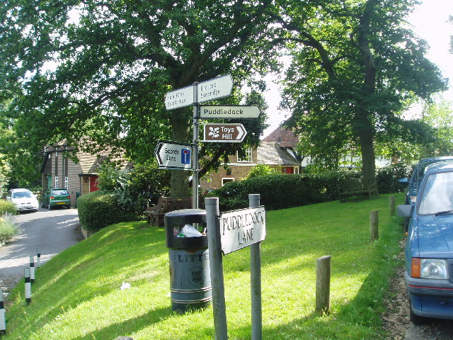
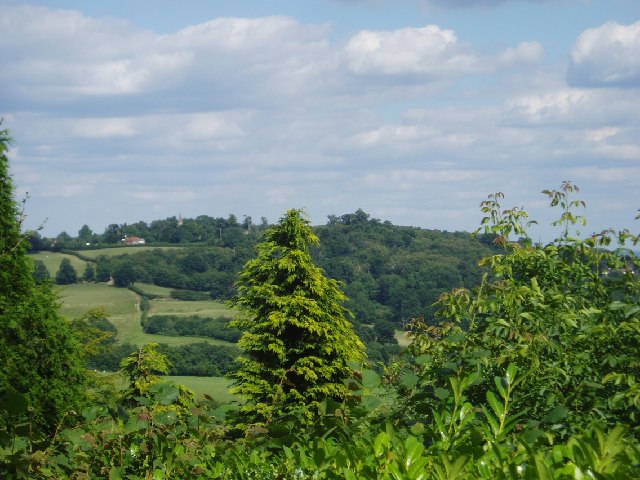
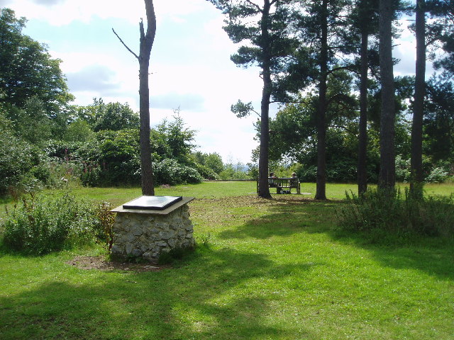
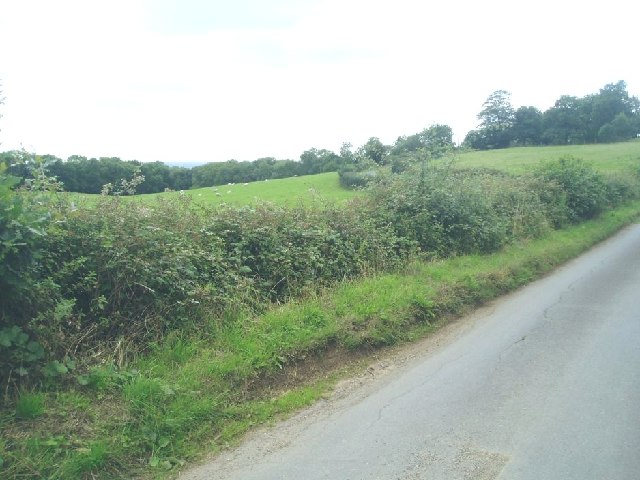
Woodlands Images
Images are sourced within 2km of 51.248593/0.085755129 or Grid Reference TQ4552. Thanks to Geograph Open Source API. All images are credited.
Woodlands is located at Grid Ref: TQ4552 (Lat: 51.248593, Lng: 0.085755129)
Administrative County: Kent
District: Sevenoaks
Police Authority: Kent
What 3 Words
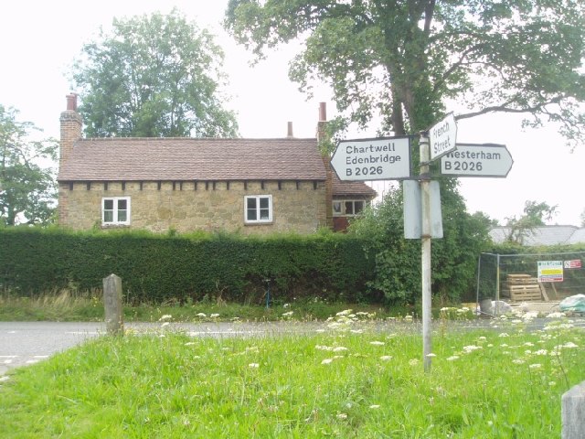
///field.pillow.state. Near Westerham, Kent
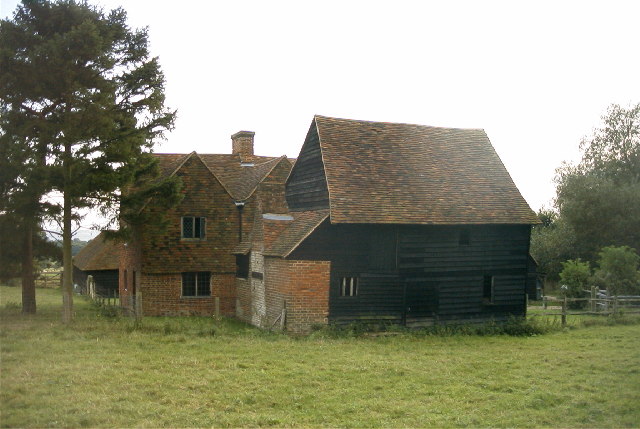
Nearby Locations
Related Wikis

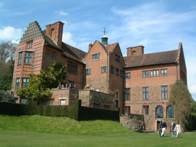
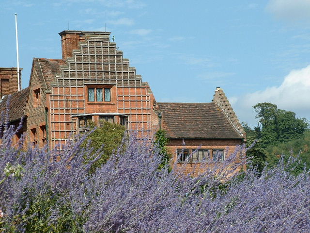
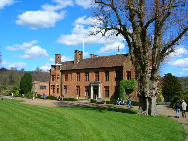
Chartwell
Chartwell is a country house near Westerham, Kent, in South East England. For over forty years it was the home of Sir Winston Churchill. He bought the...

Westerham Mines
Westerham Mines is a 25.4-hectare (63-acre) biological Site of Special Scientific Interest south of Westerham in Kent.The main interest of this site lies...

Toys Hill
Toys Hill is a hamlet which lies within Brasted civil parish in the Sevenoaks district of Kent, England. It lies to the south of Brasted Chart, also in...

Holy Trinity Church, Crockham Hill
Holy Trinity Church is a Church of England parish church based in Crockham Hill, Kent, England. It was constructed in 1842 and is a Grade II listed building...

Scord's Wood and Brockhoult Mount
Scord's Wood and Brockhoult Mount is a 252.3-hectare (623-acre) biological Site of Special Scientific Interest west of Sevenoaks in Kent. Scord's Wood...

Crockham Hill
Crockham Hill is a village in the Sevenoaks district of Kent, England. It is about 3 miles (5 km) south of Westerham, and Chartwell is nearby. The village...

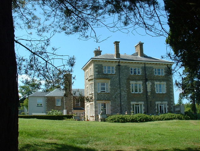
Squerryes Estate
Squerryes Estate is a vineyard, estate, and location of Squerryes Court, a grade I listed building in Kent, England. It is a producer of English sparkling...

Squerryes Court
Squerryes Court is a late 17th-century manor house that stands just outside the town of Westerham in Kent. The house, which has been held by the same family...
Related Videos
Walking around Chartwell National Trust gardens
Chartwell was the much-loved Churchill family home from 1922. It's hillside gardens reflect Sir Winston's love of landscape and ...

Westerham Kent Walk | HereWeGo | VIRTUAL WALKING TOUR | 4K HD
Here We Go to Westerham in Kent, England. Westerham is a town and civil parish in the Sevenoaks District of Kent, England.

Westerham Circular Walk 28 July 2023
A short (4.5 mile) walk, but a truly lovely one. From Westerham, this walk goes via the hamlet of French Street and then near to ...

Visiting Chartwell
The Yank in Sussex and the British Bride visit Chartwell, Sir Winston Churchill's famous home estate, Chartwell. On a recent visit ...
Nearby Amenities
Located within 500m of 51.248593,0.085755129Have you been to Woodlands?
Leave your review of Woodlands below (or comments, questions and feedback).