French Street

Settlement in Kent Sevenoaks

England

French Street

Chartwell House Near Westerham, Kent
Chartwell House Credit: Richard Howell

French Street is a charming village located in the county of Kent, England. Situated in the heart of the countryside, it is surrounded by rolling green fields and picturesque landscapes. The village itself is small in size, with a population of around 500 residents.

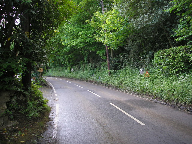
French Street is known for its quaint and idyllic atmosphere, offering a peaceful retreat from the hustle and bustle of city life. The streets are lined with traditional cottages made of local stone, giving the village a distinct rustic charm. The architecture reflects the village's long history, with some buildings dating back to the 17th century.

The village is home to a few amenities, including a local pub, a village hall, and a small convenience store. It also boasts a primary school, providing education for the local children. Despite its small size, French Street has a strong sense of community, with various events and activities organized throughout the year to bring residents together.

Surrounded by the natural beauty of the Kentish countryside, French Street offers ample opportunities for outdoor activities. The village is located close to several walking and cycling trails, allowing residents and visitors to explore the stunning surroundings. Additionally, the nearby River Medway provides opportunities for fishing and boating.

Overall, French Street is a quintessential English village that exudes charm and tranquility. With its historic buildings, beautiful scenery, and strong community spirit, it is a delightful place to visit or call home.

If you have any feedback on the listing, please let us know in the comments section below.

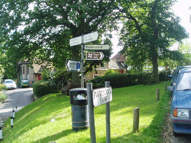
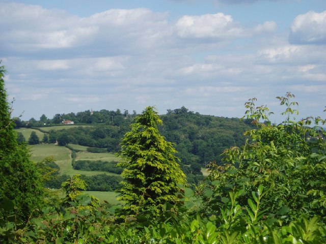
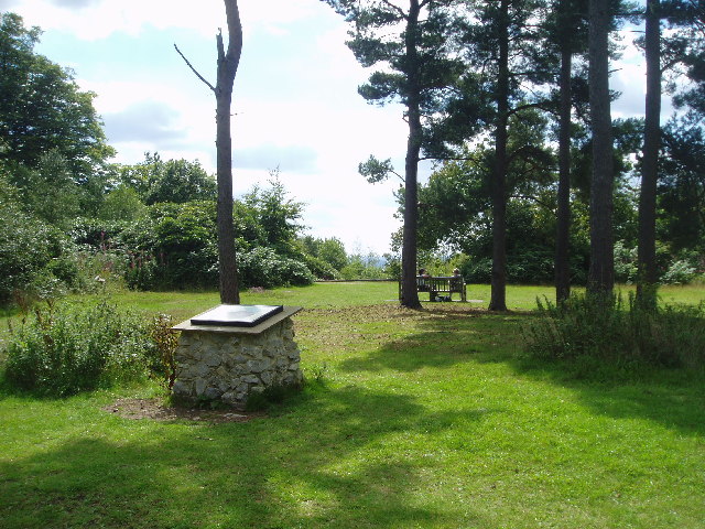
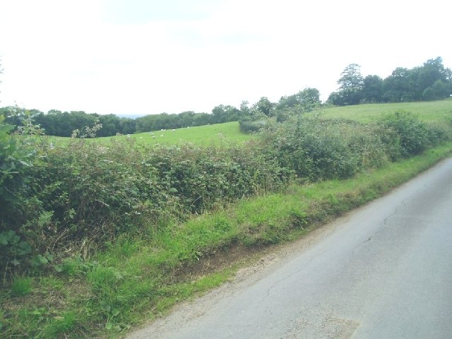
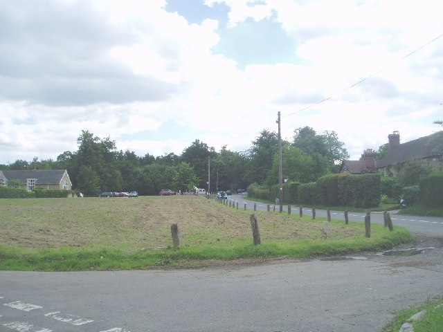
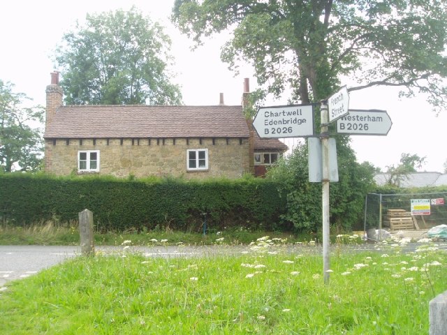
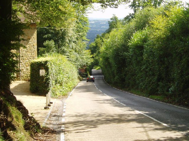
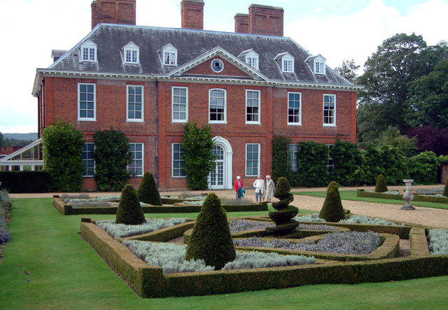
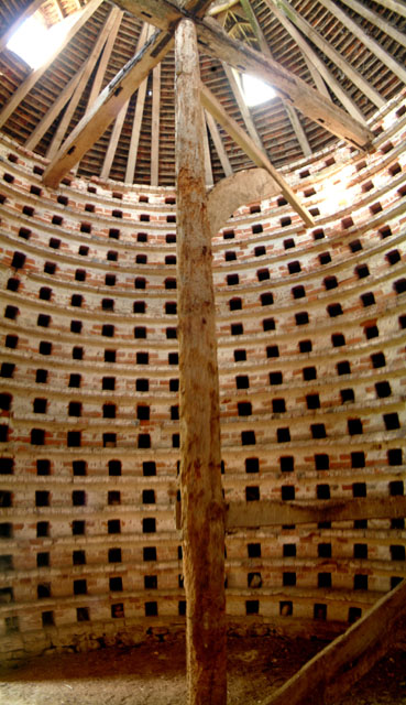
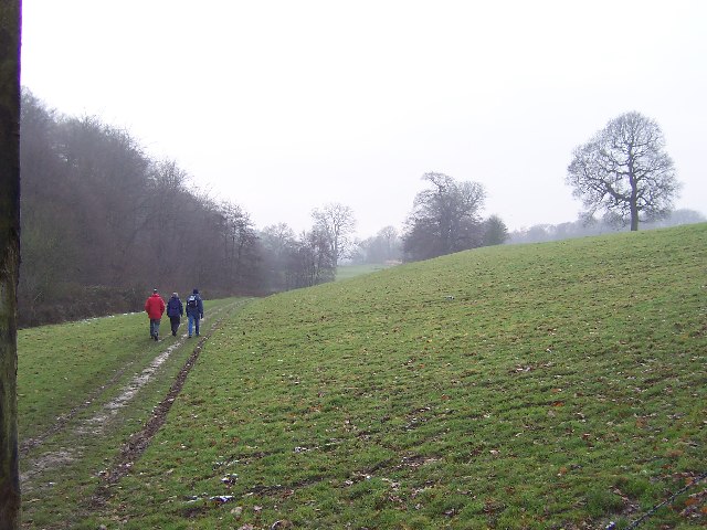
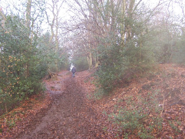
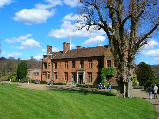
French Street Images

Images are sourced within 2km of 51.254687/0.087675 or Grid Reference TQ4552. Thanks to Geograph Open Source API. All images are credited.

Chartwell House Near Westerham, Kent
Chartwell House
Near Westerham, Kent
Chartwell
Chartwell
Emmetts The House at Emmetts is private, but the gardens are National Trust.  Towards East of gridsquare.
Emmetts
The House at Emmetts is private, but the gardens are National Trust. Towards East of gridsquare.
Westerham and Winston Churchill The green at Westerham is presided over by Winston who lived at Chartwell, just a few miles away. The far statue is of General James Wolf who lived at Quebec House.
Westerham and Winston Churchill
The green at Westerham is presided over by Winston who lived at Chartwell, just a few miles away. The far statue is of General James Wolf who lived at Quebec House.
Toys Hill signs On the corner of Puddledock Lane and Toys Hill Lane and close to several footpaths
Toys Hill signs
On the corner of Puddledock Lane and Toys Hill Lane and close to several footpaths
Looking towards Ide Hill From Toys Hill you can get some views to the East towards Ide Hill. The spire of Ide Hill church is just visible.
Looking towards Ide Hill
From Toys Hill you can get some views to the East towards Ide Hill. The spire of Ide Hill church is just visible.
Toys Hill - site of Weardale Manor At the top of Toys Hill was sited a very grand house built in 1906 for Lord and Lady Weardale and used by them as their summer home. It had commanding views but sadly fell into neglect and was bequeathed to the National Trust and the land flattened. There are a number of footpaths around this spot. Unfortunately the beautiful views are mainly hidden due to the trees and vegetation.
Toys Hill - site of Weardale Manor
At the top of Toys Hill was sited a very grand house built in 1906 for Lord and Lady Weardale and used by them as their summer home. It had commanding views but sadly fell into neglect and was bequeathed to the National Trust and the land flattened. There are a number of footpaths around this spot. Unfortunately the beautiful views are mainly hidden due to the trees and vegetation.
Over fields from Puddledock Lane Sheep are grazing on this fertile land
Over fields from Puddledock Lane
Sheep are grazing on this fertile land
Hosey Common To the left is French Street, and straight ahead is the road that takes you to Chartwell, the former home of Winston Churchill
Hosey Common
To the left is French Street, and straight ahead is the road that takes you to Chartwell, the former home of Winston Churchill
Hosey Common signpost
Toys Hill - the road south towards Four Elms The overhanging trees make an arch
Toys Hill - the road south towards Four Elms
The overhanging trees make an arch
Squerryes Court, Westerham, Kent Squerryes Court is a beautiful 17th century manor house which has been the Warde family home since 1731. It is surrounded by 20 acres of attractive and historic gardens which include a lake, restored parterres and an 18th century dovecote. The house contains a fine collection of Old Master paintings from the Italian, 17th century Dutch and 18th century English schools, furniture, porcelain and tapestries.
Squerryes Court, Westerham, Kent
Squerryes Court is a beautiful 17th century manor house which has been the Warde family home since 1731. It is surrounded by 20 acres of attractive and historic gardens which include a lake, restored parterres and an 18th century dovecote. The house contains a fine collection of Old Master paintings from the Italian, 17th century Dutch and 18th century English schools, furniture, porcelain and tapestries.
Dovecote at Squerryes Court, Westerham, Kent Interior wide-angle view of the 18th century dovecote, used to raise "squabs" (fledgling pigeons) with which to feed the household.
Dovecote at Squerryes Court, Westerham, Kent
Interior wide-angle view of the 18th century dovecote, used to raise "squabs" (fledgling pigeons) with which to feed the household.
In Squerryes Park Walking through the park with Tower Woods to the left
In Squerryes Park
Walking through the park with Tower Woods to the left
Mariners Hill Climbing on the Greensand Way up Mariners Hill - part of Crockhamhill Common
Mariners Hill
Climbing on the Greensand Way up Mariners Hill - part of Crockhamhill Common
Chartwell House - front elevation
Lodge, Valence School, Westerham, Kent Valence School is set in beautiful parkland to the south of the A25 near Westerham.  Here just a small part of the school grounds and lodge can be seen.
Lodge, Valence School, Westerham, Kent
Valence School is set in beautiful parkland to the south of the A25 near Westerham. Here just a small part of the school grounds and lodge can be seen.
Road mirrors, Brasted Chart, Kent Several of the large houses on the east side of Chart Lane have positioned mirrors opposite the exits from their drives, in order to be able to see properly if it is safe to drive their cars out onto the lane. Some three of these mirrors are to be seen in this photograph.
Road mirrors, Brasted Chart, Kent
Several of the large houses on the east side of Chart Lane have positioned mirrors opposite the exits from their drives, in order to be able to see properly if it is safe to drive their cars out onto the lane. Some three of these mirrors are to be seen in this photograph.
Show me another place!

French Street is located at Grid Ref: TQ4552 (Lat: 51.254687, Lng: 0.087675)

Administrative County: Kent

District: Sevenoaks

Police Authority: Kent

What 3 Words

///flying.names.shops. Near Westerham, Kent

Related Wikis

Westerham Mines

Westerham Mines is a 25.4-hectare (63-acre) biological Site of Special Scientific Interest south of Westerham in Kent. The main interest of this site lies...
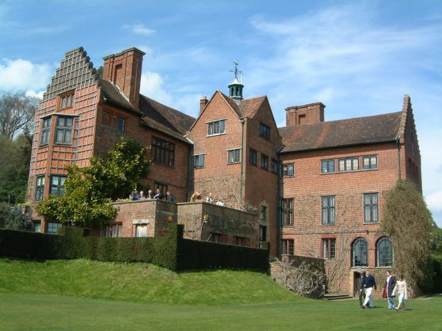
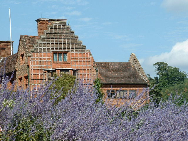
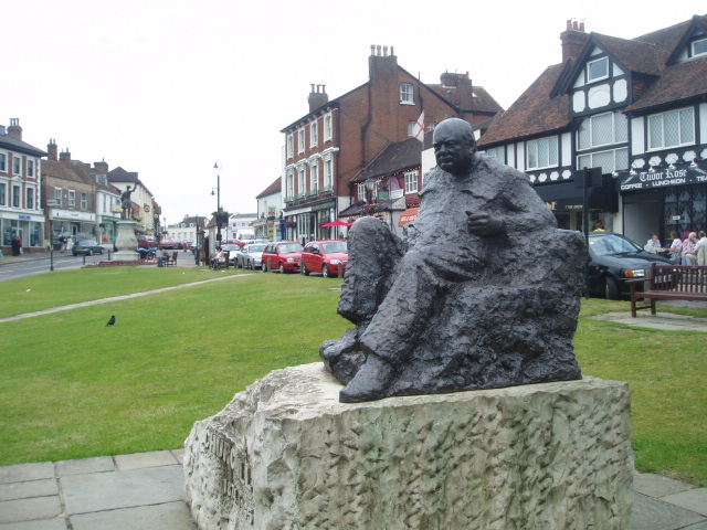
Chartwell

Chartwell is a country house near Westerham, Kent, in South East England. For over forty years it was the home of Sir Winston Churchill. He bought the...

Quebec House

Quebec House is the birthplace of General James Wolfe on what is now known as Quebec Square in Westerham, Kent, England. The house is listed Grade I on...

Toys Hill

Toys Hill or Toy's Hill is a hamlet in Brasted civil parish in the Sevenoaks district of Kent, England. It lies to the south of Brasted Chart, also in...

Nearby Amenities

Located within 500m of 51.254687,0.087675
Hosey Common
Leisure: common
Source: npe
Lat/Long: 51.255465/0.0840761
French Street
Place: village
Lat/Long: 51.2551075/0.0887702
Post Box
Brand: Royal Mail
Brand Wikidata: Q638098
Collection Times: Mo-Fr 09:00; Sa 07:00; Su off
Colour: red
Operator: Royal Mail
Operator Wikidata: Q638098
Ref: TN16 168
Royal Cypher: GVIR
Royal Cypher Wikidata: Q33102169
Lat/Long: 51.255509/0.0891313
Barrier: kissing_gate
Lat/Long: 51.256814/0.0905903
Barrier: kissing_gate
Lat/Long: 51.2572183/0.0920557
Barrier: stile
Lat/Long: 51.2549936/0.0917322
Barrier: kissing_gate
Lat/Long: 51.2568205/0.0905804
Barrier: kissing_gate
Lat/Long: 51.2572272/0.0920535
Barrier: kissing_gate
Lat/Long: 51.2568075/0.0906002
Barrier: kissing_gate
Lat/Long: 51.2572094/0.0920579
Barrier: kissing_gate
Lat/Long: 51.2552799/0.0908164
The data included in this document is from www.openstreetmap.org. The data is made available under ODbL.

Have you been to French Street?

Leave your review of French Street below (or comments, questions and feedback).