Fairhazel Wood
Wood, Forest in Sussex Wealden
England
Fairhazel Wood

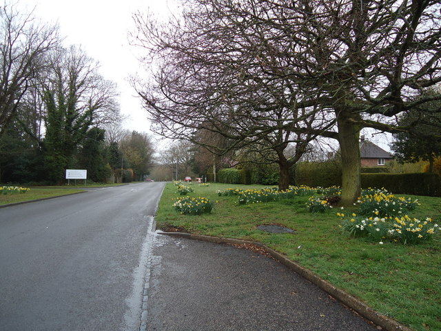
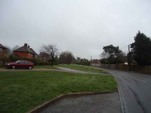
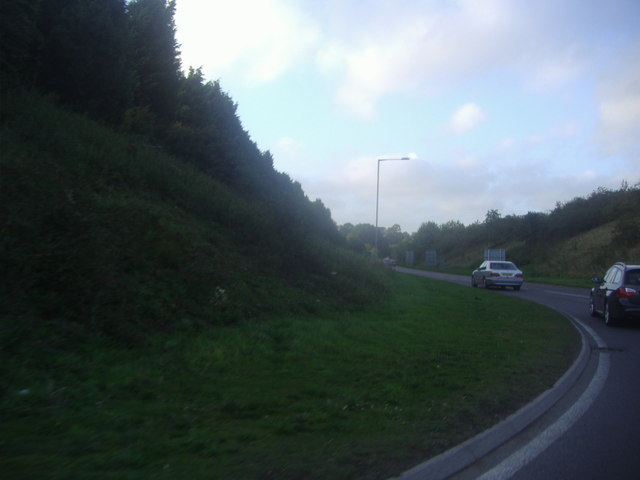
Fairhazel Wood is a charming and picturesque forest located in Sussex, England. Covering an area of approximately 100 acres, it is nestled in the heart of the South Downs National Park, offering visitors a tranquil and immersive experience in nature.
The woodland is primarily composed of diverse tree species, including oak, beech, and birch, which create a rich and vibrant canopy overhead. The forest floor is covered in a thick carpet of mosses, ferns, and wildflowers, providing a haven for a variety of wildlife.
Fairhazel Wood is known for its well-maintained walking trails, allowing visitors to explore the forest at their leisure. The paths wind through the woodland, leading to hidden glades and peaceful clearings, perfect for picnicking or simply enjoying the serenity of the surroundings.
The forest is also home to a wide array of fauna. Visitors may spot native birds such as woodpeckers, thrushes, and owls, as well as small mammals like squirrels and foxes. In spring and summer, the air is filled with the delightful songs of songbirds, creating a harmonious symphony within the forest.
For those interested in the history of the area, Fairhazel Wood has remnants of ancient settlements and archaeological sites. The forest has been a part of the local landscape for centuries, and its cultural significance is evident in the folklore and legends associated with the area.
Overall, Fairhazel Wood offers a peaceful retreat for nature lovers and those seeking solace in the beauty of the natural world. With its diverse flora and fauna, well-maintained trails, and rich history, it is a place where visitors can truly connect with the enchanting essence of Sussex's woodlands.
If you have any feedback on the listing, please let us know in the comments section below.
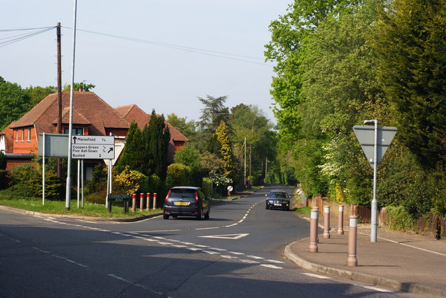
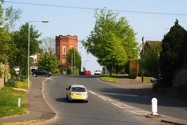
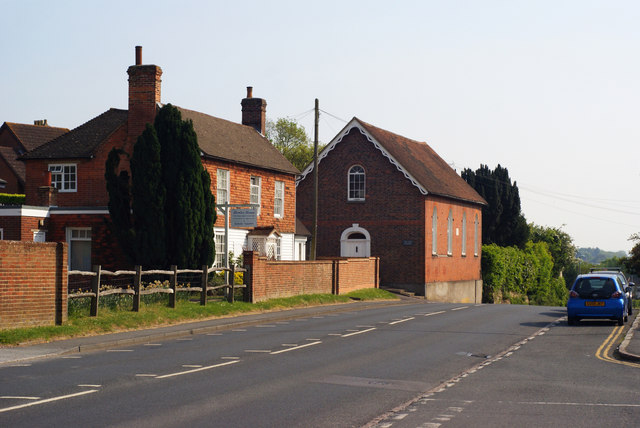
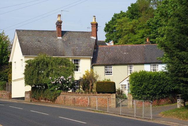
Fairhazel Wood Images
Images are sourced within 2km of 50.980726/0.073698572 or Grid Reference TQ4522. Thanks to Geograph Open Source API. All images are credited.
Fairhazel Wood is located at Grid Ref: TQ4522 (Lat: 50.980726, Lng: 0.073698572)
Administrative County: East Sussex
District: Wealden
Police Authority: Sussex
What 3 Words
///defend.household.admiral. Near Uckfield, East Sussex
Nearby Locations
Related Wikis

West Park, Uckfield
West Park is a 10.5-hectare (26-acre) Local Nature Reserve on the western outskirts of Uckfield in East Sussex. It is owned and managed by Uckfield Town...

Piltdown Man
The Piltdown Man was a paleoanthropological fraud in which bone fragments were presented as the fossilised remains of a previously unknown early human...

Piltdown
Piltdown is a series of hamlets in East Sussex, England, located south of Ashdown Forest. It is best known for the Piltdown Man hoax where amateur archaeologist...

Copping Hall
Copping Hall is a Grade II* listed house in Uckfield, East Sussex, England. It is located at 1 Pudding Cake Lane, Uckfield, East Sussex TN22 1BT. Built...

Uckfield Baptist Church
Uckfield Baptist Church is a Baptist congregation based in the town of Uckfield in East Sussex, England. Although services now take place in a school...
A.F.C. Uckfield Town
A.F.C. Uckfield Town is a community football club based in Uckfield, East Sussex, England. They are currently members of the Southern Combination Premier...
A.F.C. Uckfield
Association Football Club Uckfield was a football club based in Uckfield, East Sussex, England. == History == The club was formed in 1988 as Wealden Football...

Uckfield railway station
Uckfield railway station is the southern terminus of a branch of the Oxted Line in England, serving the town of Uckfield, East Sussex. It is 46 miles 8...
Related Videos

Walking Around my Local Area During Lockdown
Walking around my local area. I went to my local area and made myself a cup of coffee using the Jetboil Flash. My Channel: ...

Holiday Camps at Sky High at Fun Abounds 🤸♀️
Come and fun with us during the holidays at our Holiday Camps located at our dedicated gymnastics facility located in Uckfield, ...

Hamilton Palace
For more information visit https://en.wikipedia.org/wiki/Nicholas_van_Hoogstraten Music: "Gone" by Blear Moon from the album ...

National Trust - Sheffield Park walkabout
a beaitiful day at Sheffield Park, Ukcfield, UK.
Nearby Amenities
Located within 500m of 50.980726,0.073698572Have you been to Fairhazel Wood?
Leave your review of Fairhazel Wood below (or comments, questions and feedback).