Joeland's Wood

Wood, Forest in Kent

England

Joeland's Wood

Looking south from London Road The white specks in the distance are lorries on the M25 London orbital road.
Looking south from London Road Credit: Nigel Freeman

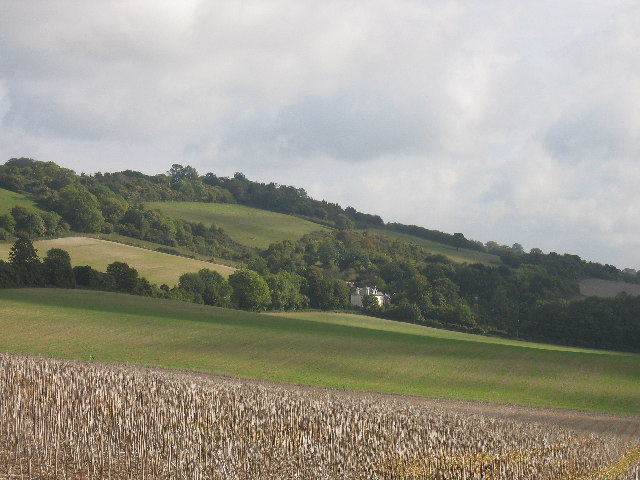
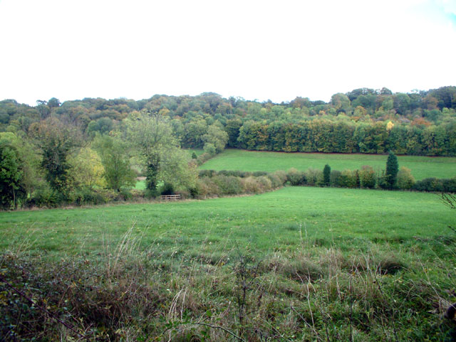
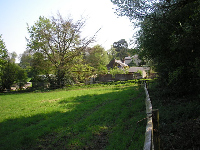
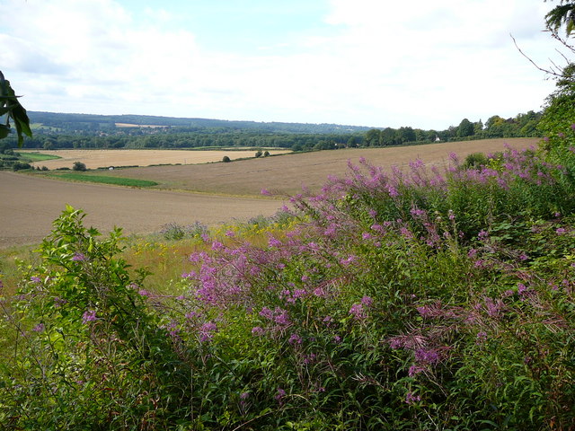
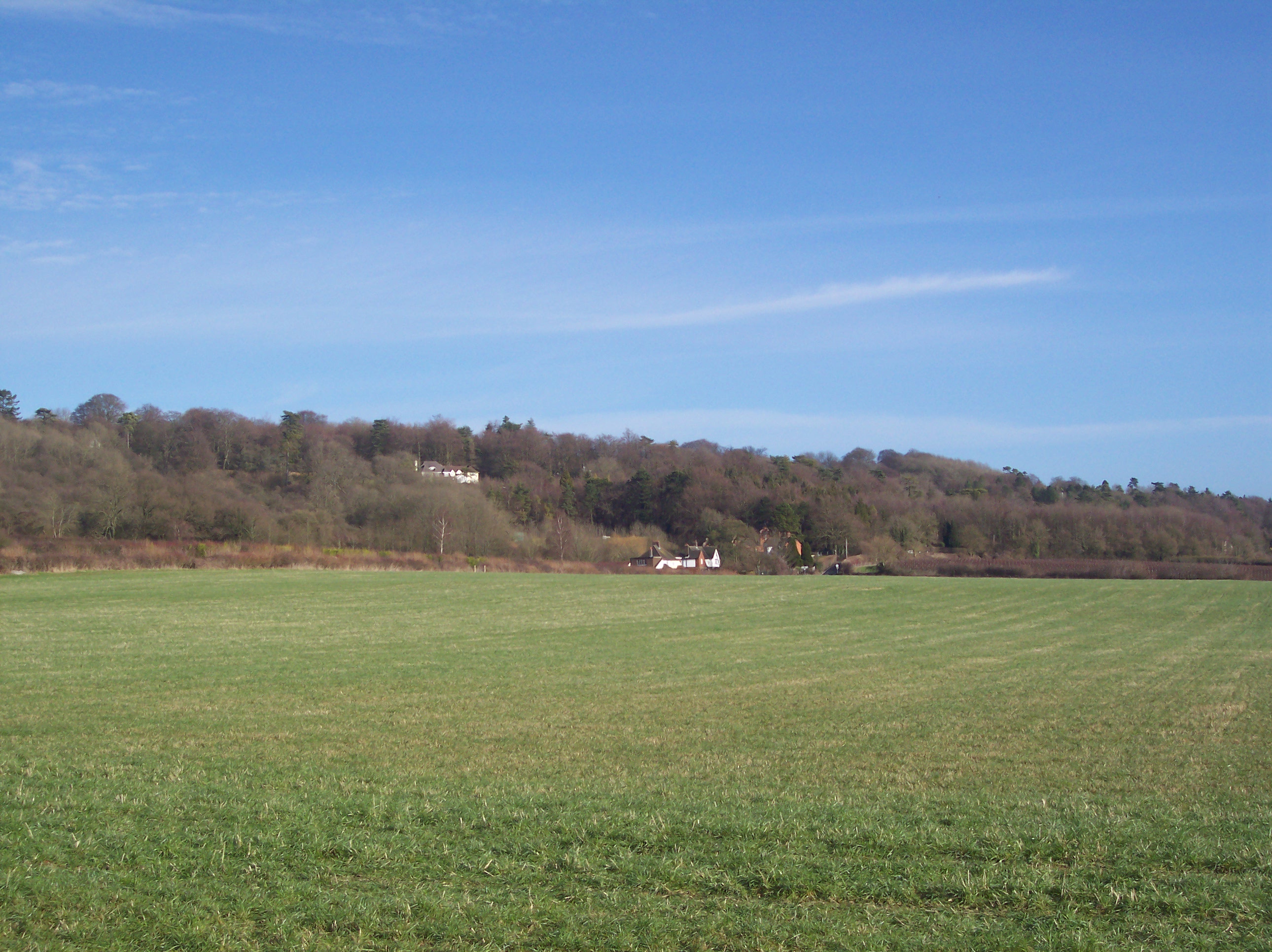
Joeland's Wood is a picturesque forest located in the county of Kent, England. Spanning over 100 acres, this woodland area is known for its diverse range of flora and fauna, making it a popular destination for nature lovers and hikers.

The wood is characterized by its dense canopy of oak, beech, and chestnut trees, providing a lush and tranquil environment for visitors to explore. The forest floor is covered with a carpet of bluebells, ferns, and moss, adding to the enchanting atmosphere of the wood.

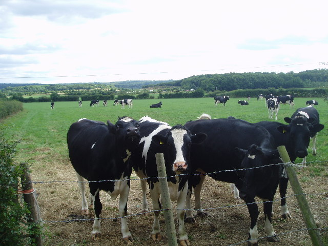
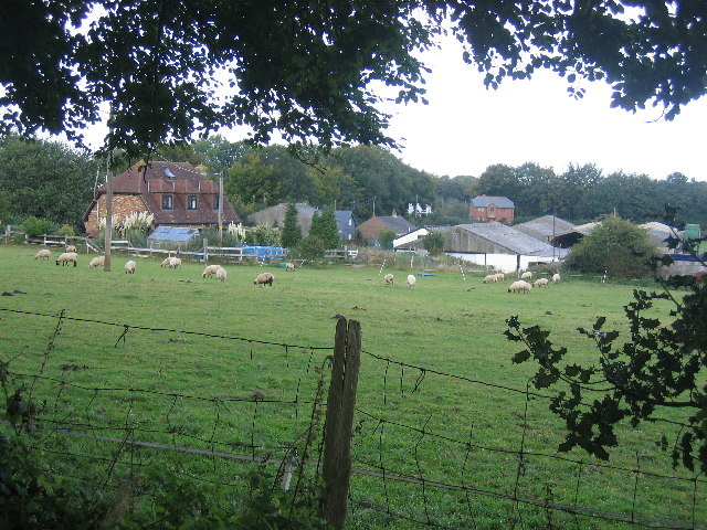
Joeland's Wood is home to a variety of wildlife, including deer, foxes, and a wide array of bird species. Birdwatchers are often drawn to the wood to catch a glimpse of rare species such as the woodpecker and tawny owl.

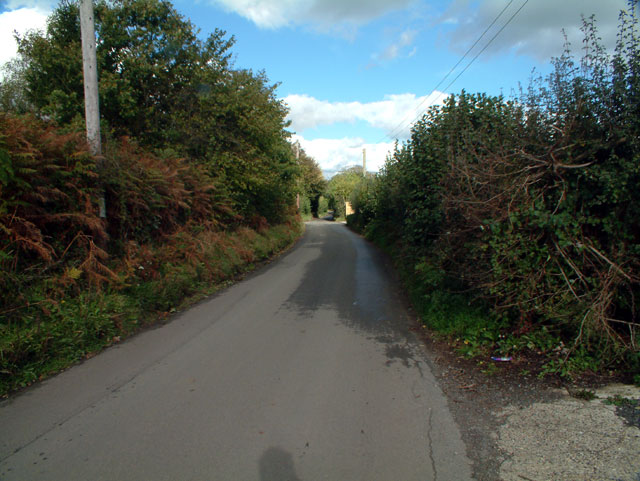
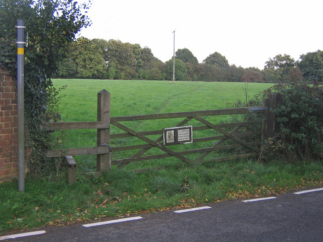
Visitors to Joeland's Wood can enjoy a network of well-maintained hiking trails that wind through the forest, offering stunning views of the surrounding countryside. Picnic areas and benches are scattered throughout the wood, providing the perfect spot to relax and take in the natural beauty of the area.

Overall, Joeland's Wood is a hidden gem in Kent, offering a peaceful retreat for those looking to connect with nature and escape the hustle and bustle of everyday life.

If you have any feedback on the listing, please let us know in the comments section below.

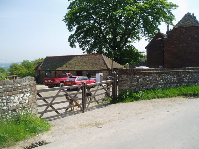
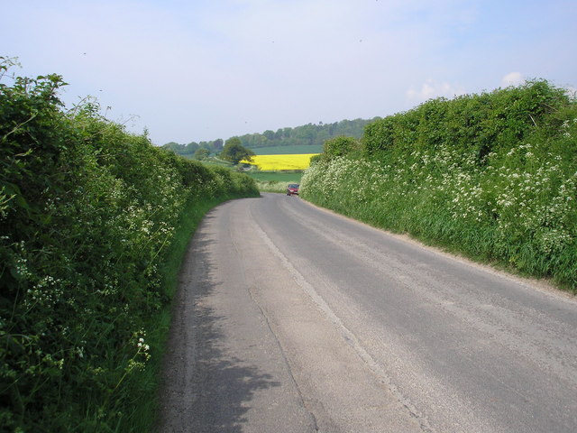
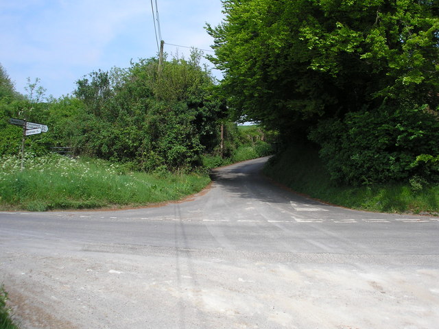
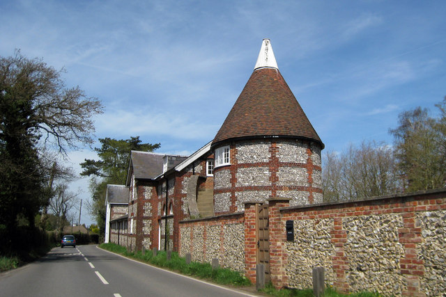
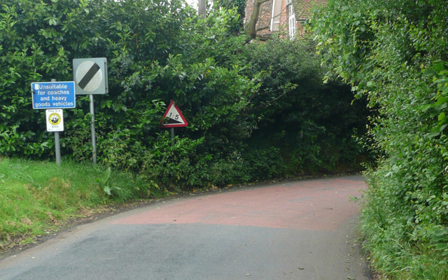
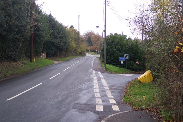
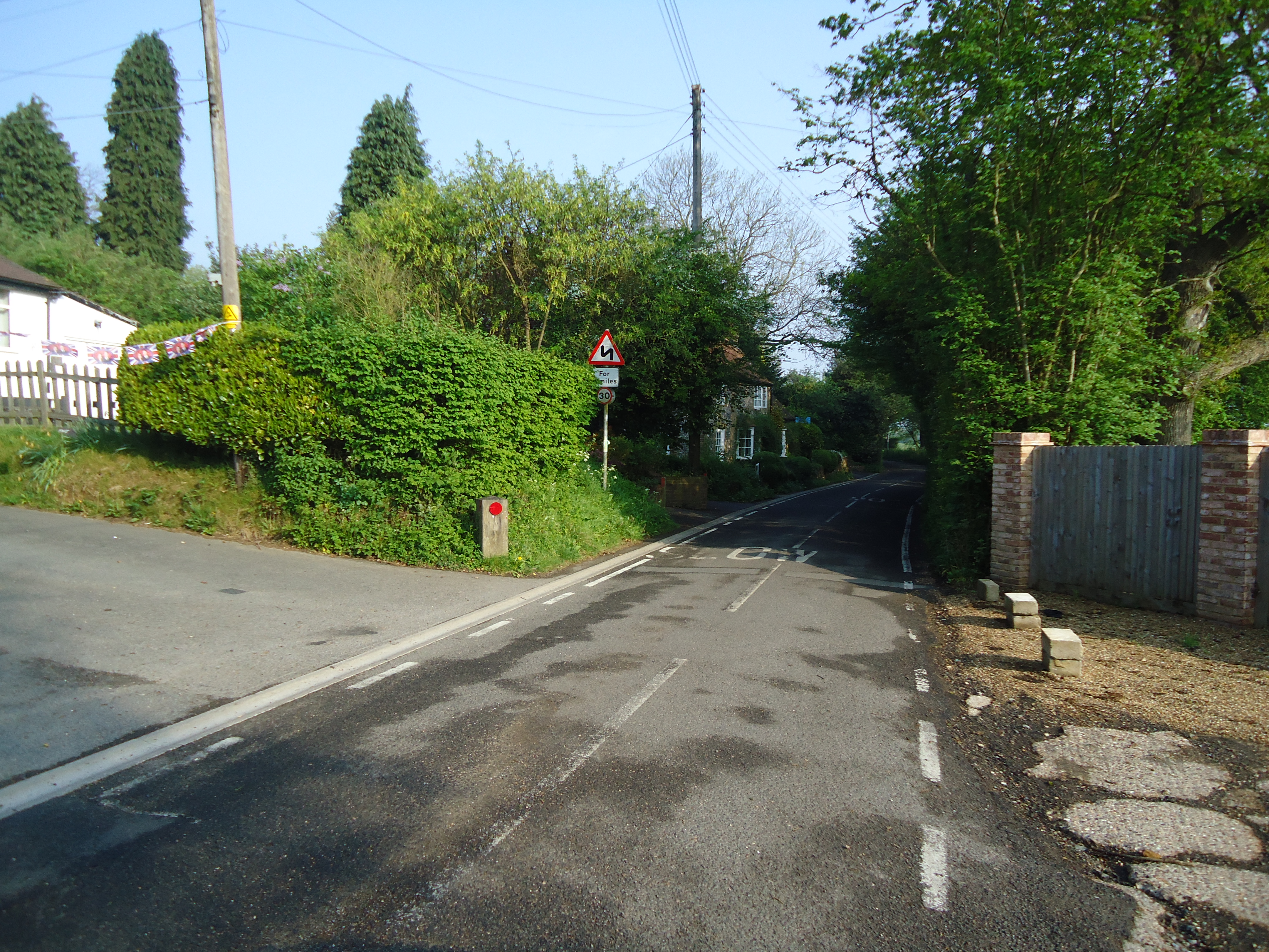
Joeland's Wood Images

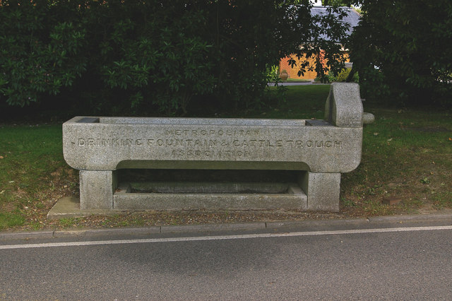
Images are sourced within 2km of 51.294546/0.085886459 or Grid Reference TQ4557. Thanks to Geograph Open Source API. All images are credited.

Looking south from London Road The white specks in the distance are lorries on the M25 London orbital road.
Looking south from London Road
The white specks in the distance are lorries on the M25 London orbital road.
Pilgrim House
Pilgrim House
Meadow near Scott's Lodge
The Manor, New Barn Lane, TN16 Shown on the OS map as New Barn Farm - but the old farm buildings have been demolished, only the stables remaining (at the right of the photo).
The Manor, New Barn Lane, TN16
Shown on the OS map as New Barn Farm - but the old farm buildings have been demolished, only the stables remaining (at the right of the photo).
The Grove, TN14 A wooded hillside between New Barn Lane and Cudham Lane South
The Grove, TN14
A wooded hillside between New Barn Lane and Cudham Lane South
Buckhurst Road TN16 Looking north
Buckhurst Road TN16
Looking north
Farm buildings, Cudham Grange, Kent
The 'Tally Ho', Knockholt, Kent Excellent food and a choice of well-kept beers are on offer at this country 'local'.
The 'Tally Ho', Knockholt, Kent
Excellent food and a choice of well-kept beers are on offer at this country 'local'.
Entrance to Brasted Hill Farm, Kent On approaching the farm gate, the two watchdogs - one a German Shepherd and the other a Dobermann - set up such a racket of barking that it must have been audible over half the County.  I took my photograph quickly and removed myself as rapidly as I was able.
Entrance to Brasted Hill Farm, Kent
On approaching the farm gate, the two watchdogs - one a German Shepherd and the other a Dobermann - set up such a racket of barking that it must have been audible over half the County. I took my photograph quickly and removed myself as rapidly as I was able.
The Pilgrim's Way This minor road, which here roughly parallels the M25 motorway, is on the exact alignment of the ancient Pilgrim's Way from Winchester to Canterbury.
The Pilgrim's Way
This minor road, which here roughly parallels the M25 motorway, is on the exact alignment of the ancient Pilgrim's Way from Winchester to Canterbury.
Looking up Hogtrough Hill The Pilgrim's Way runs left to right (west to east) here, while Hogtrough Hill, which rates a "more than 14%" symbol on the OS map, climbs steeply up the scarp slope of the North Downs towards Knockholt.
Looking up Hogtrough Hill
The Pilgrim's Way runs left to right (west to east) here, while Hogtrough Hill, which rates a "more than 14%" symbol on the OS map, climbs steeply up the scarp slope of the North Downs towards Knockholt.
Portlands, Cudham Lane South, Knockholt, Kent
Former drinking trough Supplied by the Metropolitan Drinking Fountain and Cattle Trough Association.  The house behind is Cudham Frith Farmhouse.
Former drinking trough
Supplied by the Metropolitan Drinking Fountain and Cattle Trough Association. The house behind is Cudham Frith Farmhouse.
View south west from the North Downs Way, across fields west of Pilgrim House
Footpath south of Cudham Leading from Cudham Lane South towards Knockholt.  For close up of sign on gate, see <a href="https://www.geograph.org.uk/photo/1062986">TQ4558 : Contradictory sign</a>.
Footpath south of Cudham
Leading from Cudham Lane South towards Knockholt. For close up of sign on gate, see TQ4558 : Contradictory sign.
Contradictory sign Sign on gate in <a href="https://www.geograph.org.uk/photo/1062962">TQ4558 : Footpath south of Cudham</a>.  On the left is a picture of a dog on a lead inside a red circle, which standard road sign design implies "dogs on leads prohibited".  But underneath it specifically states "dogs must be kept on a lead at all times".  Fortunately I do not have a dog, so need not be too concerned about the contradiction.
Contradictory sign
Sign on gate in TQ4558 : Footpath south of Cudham. On the left is a picture of a dog on a lead inside a red circle, which standard road sign design implies "dogs on leads prohibited". But underneath it specifically states "dogs must be kept on a lead at all times". Fortunately I do not have a dog, so need not be too concerned about the contradiction.
Shelleys Lane - Steep Hill 1:5 Shelleys Lane, Knockholt. 1:5 steep hill down sign.
Shelleys Lane - Steep Hill 1:5
Shelleys Lane, Knockholt. 1:5 steep hill down sign.
Junction on Main Road, Knockholt Main Road leads straight on to Cudham Firth. On the right Shelley's Lane leading down to Lett's Green.
Junction on Main Road, Knockholt
Main Road leads straight on to Cudham Firth. On the right Shelley's Lane leading down to Lett's Green.
Show me another place!

Joeland's Wood is located at Grid Ref: TQ4557 (Lat: 51.294546, Lng: 0.085886459)

Unitary Authority: Bromley

Police Authority: Metropolitan

What 3 Words

///thin.depend.ledge. Near Sundridge, Kent

Related Wikis

Horns Green

Horns Green is an area in the London Borough of Bromley located to the south of Cudham near the boundary with Kent. == References ==

Pilgrims' Way

The Pilgrims' Way (also Pilgrim's Way or Pilgrims Way) is the historical route supposedly taken by pilgrims from Winchester in Hampshire, England, to the...

Brasted railway station

Brasted is a disused intermediate railway station in Brasted, Kent on the closed Westerham Valley branch line. The station closed in 1961 and the site...

Betsom's Hill

Betsom's Hill is a hill on the North Downs, and the highest point in the county of Kent at 251 metres (823 ft). Situated between Westerham and Tatsfield...

Nearby Amenities

Located within 500m of 51.294546,0.085886459
Barrier: kissing_gate
Lat/Long: 51.2967566/0.0911143
Barrier: kissing_gate
Bicycle: no
Foot: yes
Material: metal
Source: survey
Lat/Long: 51.2917797/0.0814213
Barrier: kissing_gate
Bicycle: no
Foot: yes
Material: metal
Source: survey
Lat/Long: 51.2918117/0.0815839
Barrier: kissing_gate
Bicycle: no
Foot: yes
Material: metal
Source: survey
Lat/Long: 51.2923359/0.083529
Barrier: kissing_gate
Bicycle: no
Foot: yes
Material: wood
Source: survey
Lat/Long: 51.2929216/0.0852728
Barrier: kissing_gate
Bicycle: no
Foot: yes
Material: wood
Source: survey
Lat/Long: 51.2934265/0.0894346
Barrier: kissing_gate
Lat/Long: 51.2940138/0.0869813
Barrier: kissing_gate
Lat/Long: 51.2937985/0.0891506
Barrier: kissing_gate
Lat/Long: 51.2968183/0.0912897
Material: wood
Power: pole
Lat/Long: 51.2919775/0.0829004
Material: wood
Power: pole
Lat/Long: 51.2921972/0.0840928
Material: wood
Power: pole
Lat/Long: 51.2932413/0.0866765
Material: wood
Power: pole
Lat/Long: 51.2940912/0.0876675
Power: pole
Lat/Long: 51.2949676/0.0886903
Power: pole
Lat/Long: 51.2958616/0.0897202
Power: pole
Lat/Long: 51.2970191/0.0903856
Communication: pole
Lat/Long: 51.2965569/0.0805966
Power: pole
Lat/Long: 51.2925244/0.0858327
Communication: pole
Lat/Long: 51.298647/0.0837774
Power: pole
Lat/Long: 51.2917173/0.0815204
Sgt Stefan Wojtowicz Memorial
Historic: memorial
Inscription: Sgt Stefan Wojtowicz "One of the Few". He bravely fought 6 Me109s destroying one and 1 probable before he was shot down nearby on 11.9.1940. Aged 21. "On our wings sing the wind of liberty" Za nasza i wasza wolnosc (For Our Freedom and Yours).
Material: stone
Memorial: plaque
Memorial Conflict: WW2
Memorial Text: Sgt Stefan Wojtowicz "One of the Few" He bravely fought 6 Me109s destroying one and 1 probable before he was shot down nearby on 11.9.1940. Aged 21. "On our wings sing the wind of liberty" Za nasza i wasza wolnosc (For Our Freedom and Yours)
Subject Wikidata: Q9345445
Subject Wikipedia: pl:Stefan Wójtowicz (pilot)
Lat/Long: 51.2920662/0.0893989
Turning Circle
Lat/Long: 51.2930134/0.0835122
Post Box
Collection Times: Mo-Fr 16:30; Sa 09:00; Su off
Colour: red
Ref: TN16 87
Royal Cypher: EIIR
Royal Cypher Wikidata: Q33102113
Lat/Long: 51.2972483/0.0844873
The data included in this document is from www.openstreetmap.org. The data is made available under ODbL.

Have you been to Joeland's Wood?

Leave your review of Joeland's Wood below (or comments, questions and feedback).