Hook Wood
Wood, Forest in Kent
England
Hook Wood
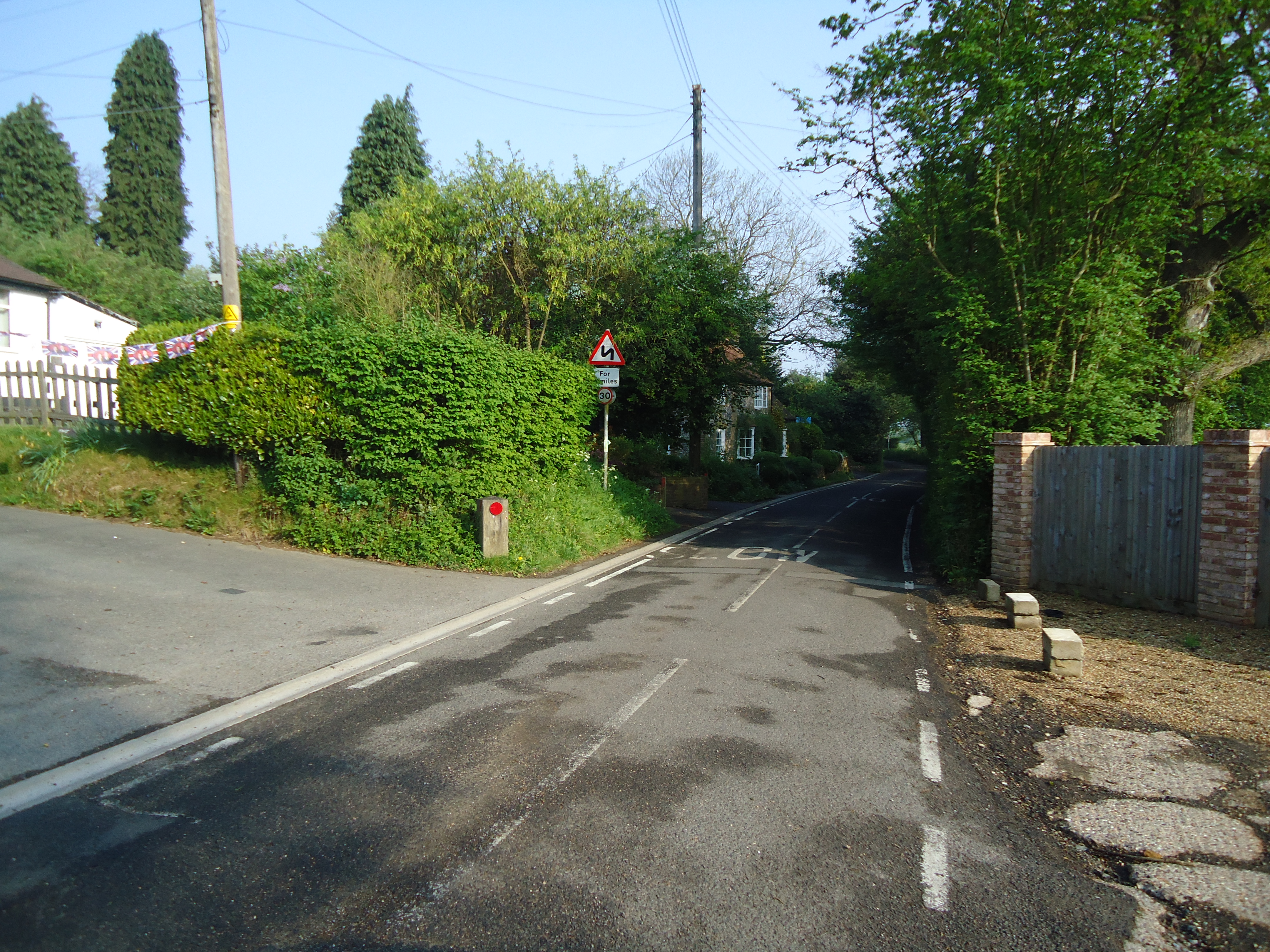
Hook Wood is a charming woodland area located in the county of Kent, England. Covering an expansive area of approximately 150 acres, this picturesque forest is nestled within the larger Ashdown Forest, a designated Area of Outstanding Natural Beauty.
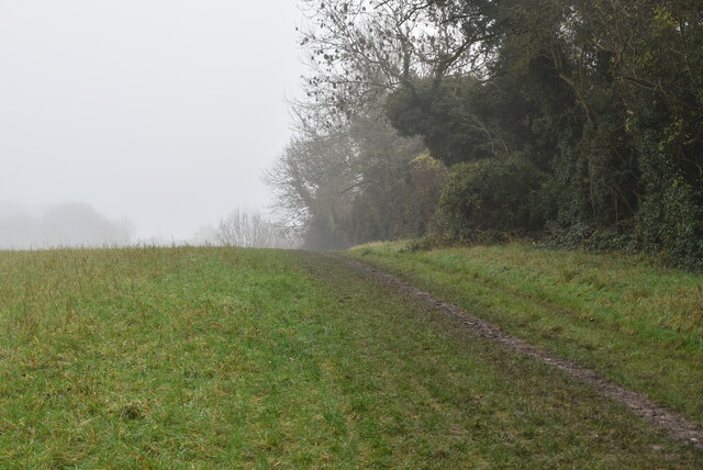
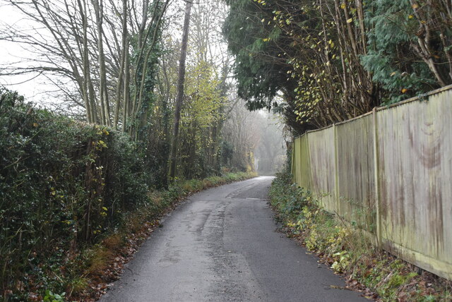
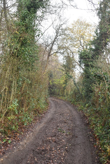
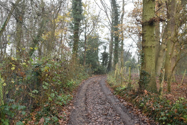
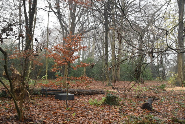
Hook Wood boasts a diverse range of tree species, including oak, beech, and birch, which create a lush and vibrant landscape throughout the year. The forest floor is carpeted with a variety of wildflowers, ferns, and mosses, adding to its natural beauty. The wood is crisscrossed with well-maintained footpaths, allowing visitors to explore its enchanting surroundings at their leisure.
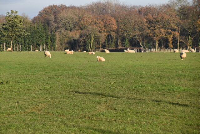
This woodland is not only a haven for nature enthusiasts but also provides a habitat for a wide array of wildlife. Birdwatchers can spot various species of birds, including woodpeckers, nuthatches, and tawny owls, among others. Squirrels, foxes, and deer are also commonly seen in Hook Wood, adding to its appeal.
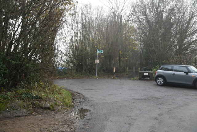
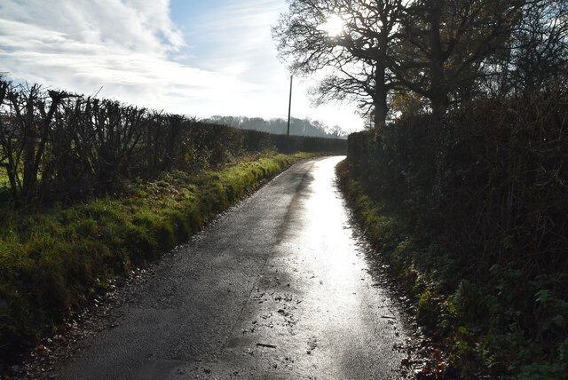
Hook Wood offers visitors a peaceful and tranquil escape from the hustle and bustle of everyday life. It is a popular destination for families, walkers, and nature lovers, who can enjoy picnics, leisurely walks, and wildlife spotting. The forest is well-maintained, with designated picnic areas and benches scattered throughout for visitors to relax and take in the serene surroundings.
In conclusion, Hook Wood is a stunning woodland area in Kent, offering a diverse range of flora and fauna, as well as a peaceful retreat for those seeking solace in nature.
If you have any feedback on the listing, please let us know in the comments section below.
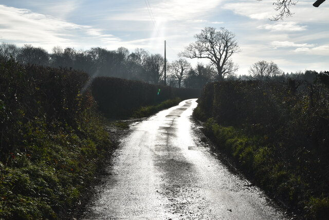
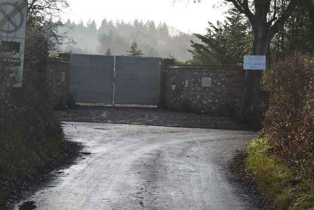
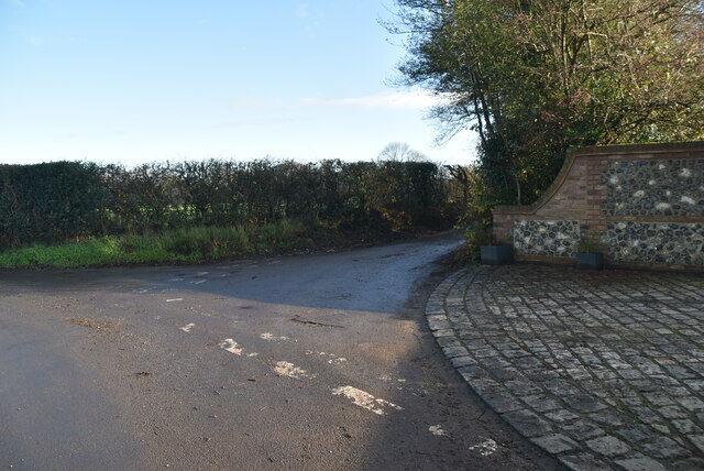
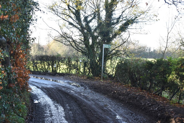
Hook Wood Images
Images are sourced within 2km of 51.320756/0.084592525 or Grid Reference TQ4560. Thanks to Geograph Open Source API. All images are credited.


Hook Wood is located at Grid Ref: TQ4560 (Lat: 51.320756, Lng: 0.084592525)
Unitary Authority: Bromley
Police Authority: Metropolitan
What 3 Words
///orchestra.friend.onion. Near Biggin Hill, London
Nearby Locations
Related Wikis

Cudham
Cudham is a village in Greater London, England, located within the London Borough of Bromley and beyond London's urban sprawl. It is located on the Greater...

London Borough of Bromley
The London Borough of Bromley ( ) is the largest and southeasternmost of the London boroughs that make up Greater London, bordering the county of Kent...
Horns Green
Horns Green is an area in the London Borough of Bromley located to the south of Cudham near the boundary with Kent. == References ==

Hazelwood, London
Hazelwood is a hamlet in Greater London, England. It is located within the London Borough of Bromley, to the east of Downe. == References ==

Single Street
Single Street is a hamlet in the London Borough of Bromley in Greater London, located between Luxted and Berry's Green, and centred around a street of...

Berry's Green
Berry's Green a small hamlet in the London Borough of Bromley in Greater London, UK, situated outside of London's contiguous built-up area. It is a fairly...

Downe Bank
Downe Bank is a nature reserve owned and managed by the Kent Wildlife Trust in the North Downs, close to Downe in the London Borough of Bromley. It is...

St Katharine's Church, Knockholt
St Katharine's Church is an Anglican parish church in the village of Knockholt and the Sevenoaks deanery. St Katharine's and St Margaret's came together...
Nearby Amenities
Located within 500m of 51.320756,0.084592525Have you been to Hook Wood?
Leave your review of Hook Wood below (or comments, questions and feedback).