Well Head Plantation

Wood, Forest in Cambridgeshire South Cambridgeshire

England

Well Head Plantation

Memorial of Newton The memorial standing to remind you of those who died in the war that lived in Newton.
Memorial of Newton Credit: Finlay Cox

Well Head Plantation is a picturesque woodland located in the county of Cambridgeshire, England. The plantation covers an area of approximately 50 acres and is known for its diverse range of trees and flora. It is situated near the village of Wood, nestled within the beautiful landscape of the Cambridgeshire countryside.

The woodland is primarily composed of native broadleaf trees such as oak, ash, and birch, which provide a habitat for a variety of wildlife species. The plantation is particularly renowned for its bluebells, which create a stunning carpet of vibrant blue flowers during the spring months, attracting visitors from far and wide.

Well Head Plantation offers a tranquil environment for nature enthusiasts and walkers, with several well-maintained footpaths meandering through the woodland. These paths allow visitors to explore the plantation and enjoy the peaceful ambiance, while also providing opportunities for birdwatching and wildlife spotting.

The plantation is managed by the local authorities, who ensure the preservation of its natural beauty and biodiversity. They also organize educational programs and guided tours for schools and community groups, promoting awareness and understanding of the importance of woodland conservation.

Overall, Well Head Plantation is a cherished natural treasure in Cambridgeshire, providing a haven for both wildlife and visitors seeking a peaceful escape into nature.

If you have any feedback on the listing, please let us know in the comments section below.

Well Head Plantation Images

Images are sourced within 2km of 52.133922/0.11930619 or Grid Reference TL4550. Thanks to Geograph Open Source API. All images are credited.

Memorial of Newton The memorial standing to remind you of those who died in the war that lived in Newton.
Memorial of Newton
The memorial standing to remind you of those who died in the war that lived in Newton.
Whittlesford Road Leaving Newton.
Whittlesford Road
Leaving Newton.
Cottage on the edge of Newton
Cockle Close, Newton New housing on the edge of the village.
Cockle Close, Newton
New housing on the edge of the village.
Thatched Cottage, Newton With a lick of paint since <a href="https://www.geograph.org.uk/photo/749751">TL4349 : Deep Thatch, Fowlmere Road</a>.
Thatched Cottage, Newton
With a lick of paint since TL4349 : Deep Thatch, Fowlmere Road.
Kidmans Close, Newton
Top Farm, Newton
Top Farm, Newton
Cycling to and from Newton Two cyclists, one with serious kit, the other with a camera, are about to pass on the bridleway which links Newton and Stapleford. It was a hot Sunday morning during the heatwave of autumn 2011.
Cycling to and from Newton
Two cyclists, one with serious kit, the other with a camera, are about to pass on the bridleway which links Newton and Stapleford. It was a hot Sunday morning during the heatwave of autumn 2011.
Sunday-morning traffic on the M11 Looking towards Cambridge from the bridge which carries the Newton-Stapleford bridleway.
Sunday-morning traffic on the M11
Looking towards Cambridge from the bridge which carries the Newton-Stapleford bridleway.
Bridle path and motorway bridge The bridge carries the Newton-Stapleford bridleway and was built with farm vehicles in mind. The sign gives early warning of Trumpington Park & Ride, near the next turn-off, Junction 11.
Bridle path and motorway bridge
The bridge carries the Newton-Stapleford bridleway and was built with farm vehicles in mind. The sign gives early warning of Trumpington Park & Ride, near the next turn-off, Junction 11.
Byway to Stapleford <a href="https://www.geograph.org.uk/photo/749805">TL4449 : Public Bridleway to the Shelfords</a> shows more or less the same view towards the M11 in Spring 2008, when South Cambridgeshire was rather greener than during the 2011 drought.
Byway to Stapleford
TL4449 : Public Bridleway to the Shelfords shows more or less the same view towards the M11 in Spring 2008, when South Cambridgeshire was rather greener than during the 2011 drought.
Cockle Hill Taken during the 2011 drought (and the September-October heatwave). Compare this picture with Duncan Grey's <a href="https://www.geograph.org.uk/photo/840222">TL4449 : Across the field to Cockle Hill</a> from June 2008.
Cockle Hill
Taken during the 2011 drought (and the September-October heatwave). Compare this picture with Duncan Grey's TL4449 : Across the field to Cockle Hill from June 2008.
Footpath to New Farm and Cambridge Road Taken during the 2011 drought (and the September-October heatwave). Compare this picture with Keith Edkins' <a href="https://www.geograph.org.uk/photo/749802">TL4449 : Public Footpath to New Farm Road</a>, taken in spring 2008.
Footpath to New Farm and Cambridge Road
Taken during the 2011 drought (and the September-October heatwave). Compare this picture with Keith Edkins' TL4449 : Public Footpath to New Farm Road, taken in spring 2008.
M11 northbound Ahead is a farm accommodation and public bridleway bridge.
M11 northbound
Ahead is a farm accommodation and public bridleway bridge.
Newton Village Sign The old village sign that represents NEWTON
Newton Village Sign
The old village sign that represents NEWTON
Whittlesford Road
Whittlesford Road
Heading north - Whittlesford Road Just past Ley Grove cottages.
Heading north - Whittlesford Road
Just past Ley Grove cottages.
Whittlesford Road in autumn A stationary cyclist's view on a bright Sunday morning in November.
Whittlesford Road in autumn
A stationary cyclist's view on a bright Sunday morning in November.
Show me another place!

Well Head Plantation is located at Grid Ref: TL4550 (Lat: 52.133922, Lng: 0.11930619)

Administrative County: Cambridgeshire

District: South Cambridgeshire

Police Authority: Cambridgeshire

What 3 Words

///guesswork.tasteful.pushes. Near Harston, Cambridgeshire

Related Wikis

Little Shelford

Little Shelford is a village located to the south of Cambridge, in the county of Cambridgeshire, in eastern England. The River Granta lies between it...

South Cambridgeshire

South Cambridgeshire is a local government district of Cambridgeshire, England, with a population of 162,119 at the 2021 census. It was formed on 1 April...

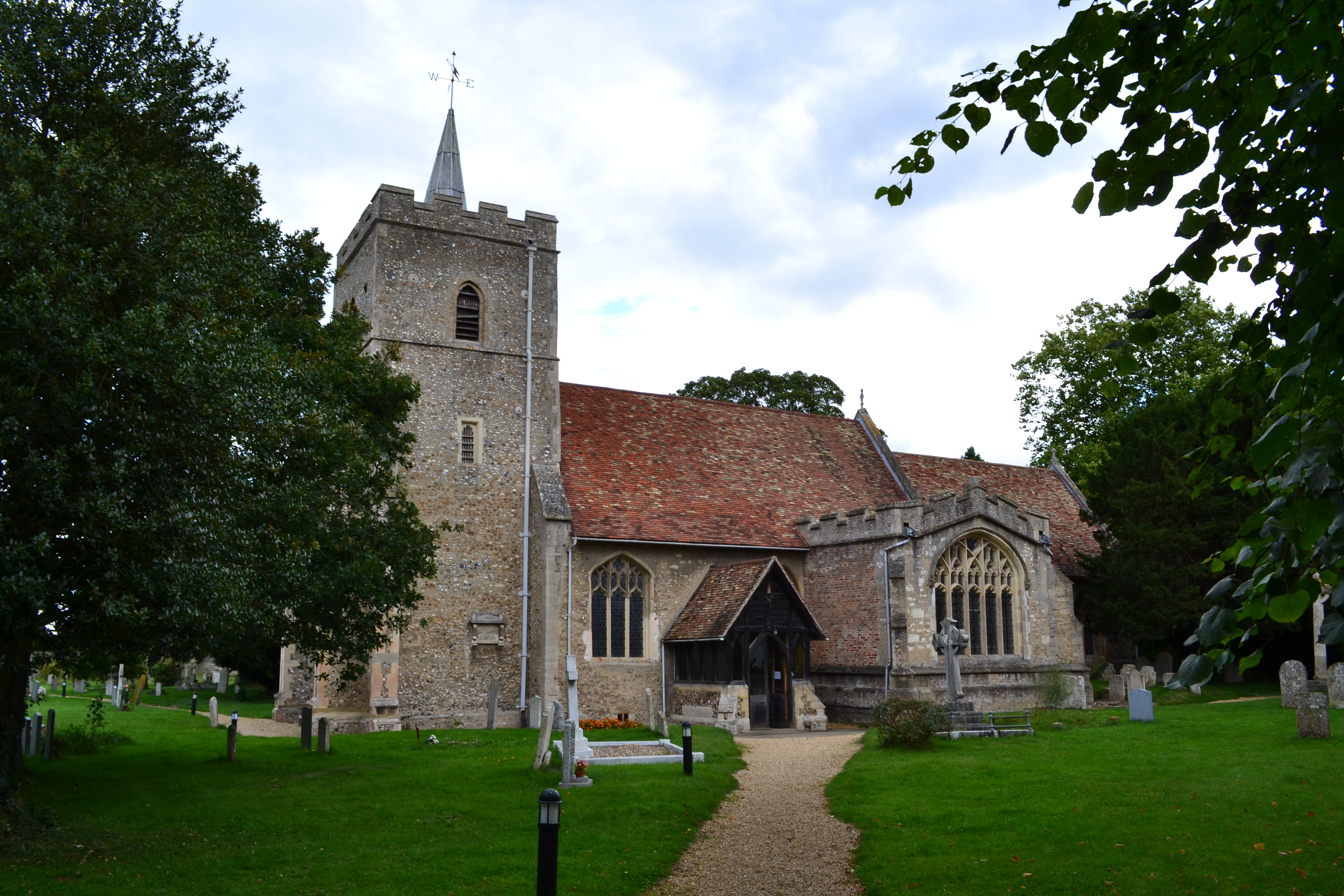
Church of All Saints, Little Shelford

The Church of All Saints is a Church of England parish church in Little Shelford, Cambridgeshire. The church is a Grade II* listed building, and dates...

Great Shelford F.C.

Great Shelford Football Club are a football club based in Great Shelford, near Cambridge, England. Established in 1912, they currently play in the Cambridgeshire...

Nearby Amenities

Located within 500m of 52.133922,0.11930619
Little Shelford Airstrip
Aeroway: airstrip
Lat/Long: 52.1315411/0.1241176
The data included in this document is from www.openstreetmap.org. The data is made available under ODbL.

Have you been to Well Head Plantation?

Leave your review of Well Head Plantation below (or comments, questions and feedback).