Bogs Wood

Wood, Forest in Hertfordshire East Hertfordshire

England

Bogs Wood

Field between the woods With Oaken Spring wood behind.
Field between the woods Credit: Hugh Venables

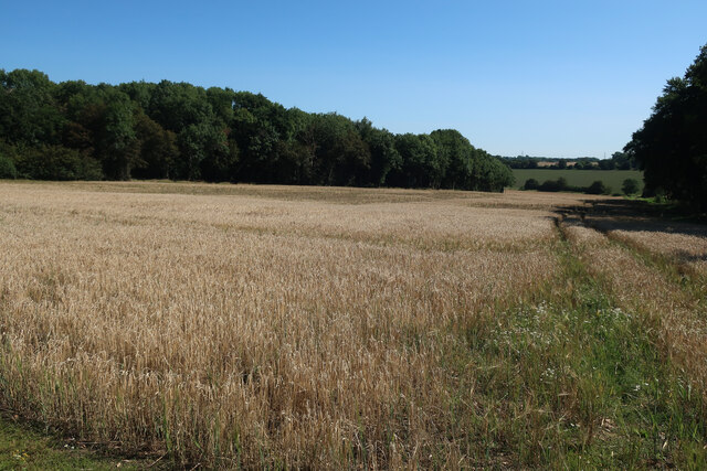
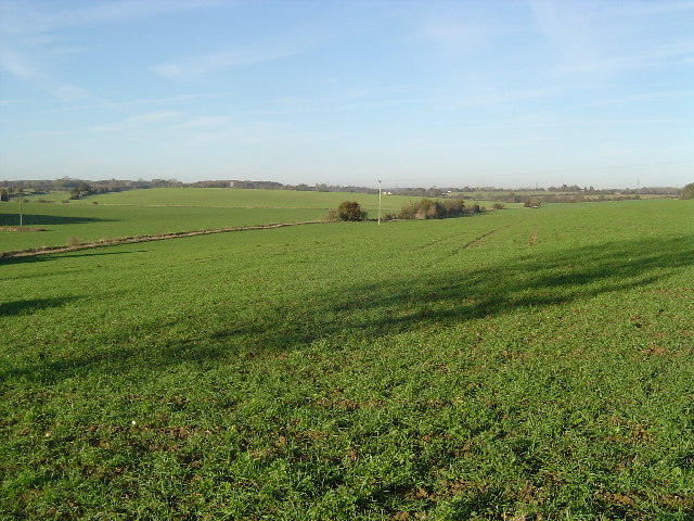
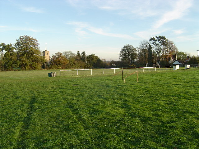
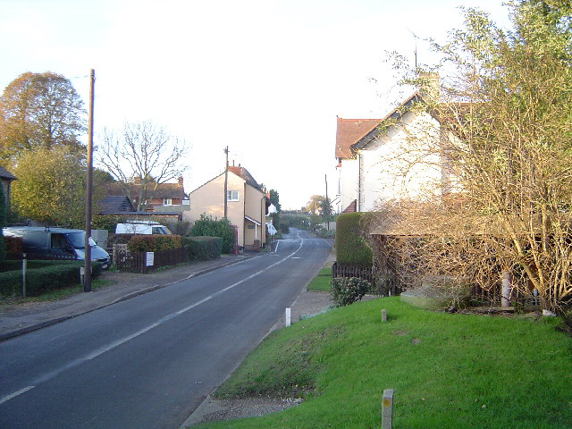
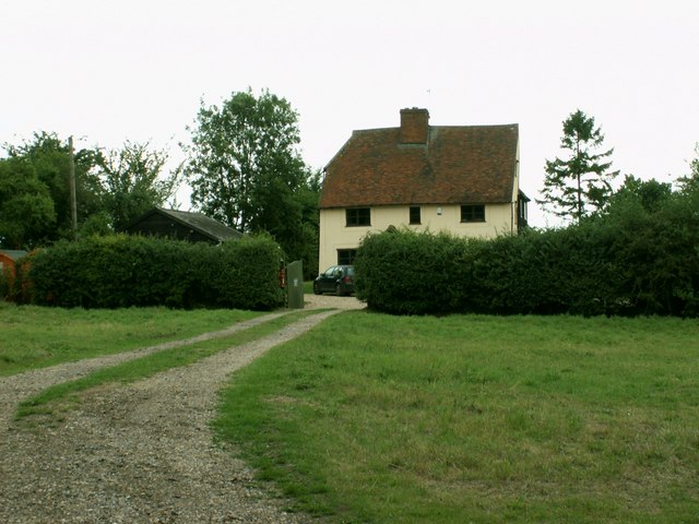
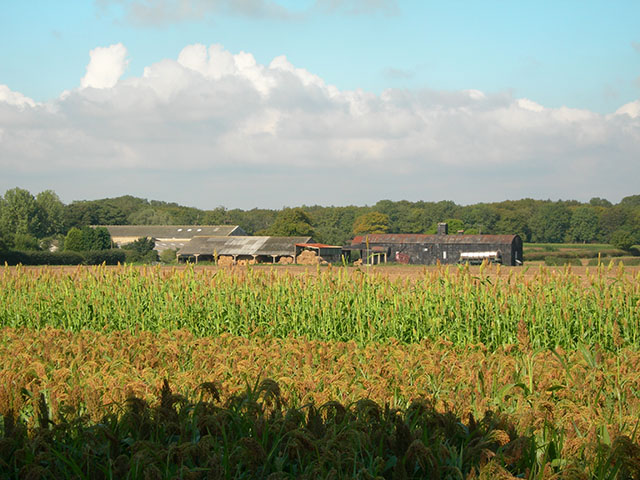
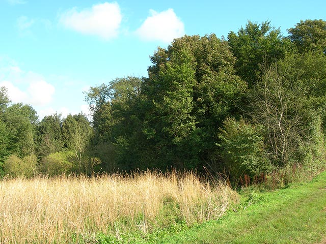
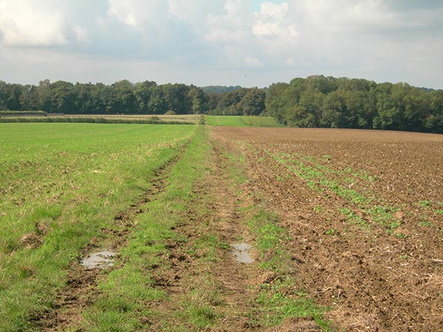
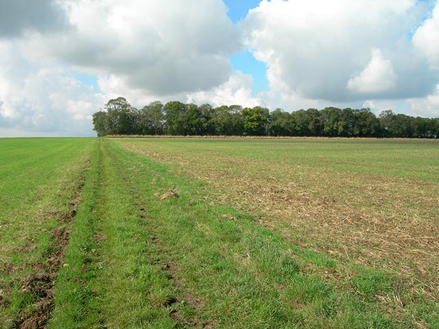
Bogs Wood is a picturesque woodland located in Hertfordshire, England. Covering an area of approximately 100 acres, this enchanting forest is a popular destination for nature lovers and outdoor enthusiasts alike. Bogs Wood is situated on the outskirts of the village of Bogs-Bottom, surrounded by rolling hills and meandering streams.

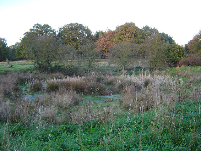
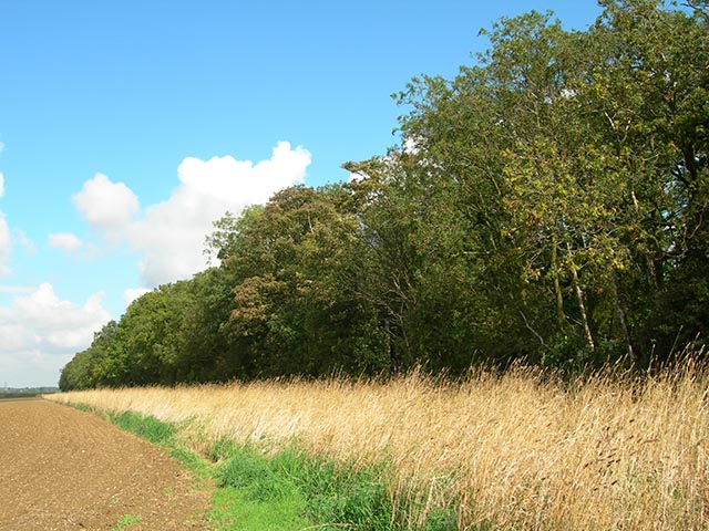
The woodland is predominantly composed of native broadleaf trees, such as oak, beech, and ash, creating a diverse and vibrant ecosystem. These majestic trees provide a canopy that filters sunlight, creating a serene and tranquil atmosphere within the woods. The forest floor is blanketed with a rich carpet of moss, ferns, and wildflowers, adding to the overall beauty of the surroundings.

Bogs Wood is home to a variety of wildlife, including deer, foxes, rabbits, and a plethora of bird species. Birdwatchers will delight in spotting robins, blue tits, and woodpeckers among the branches. The woodland is also teeming with insects, making it an ideal location for bug enthusiasts.

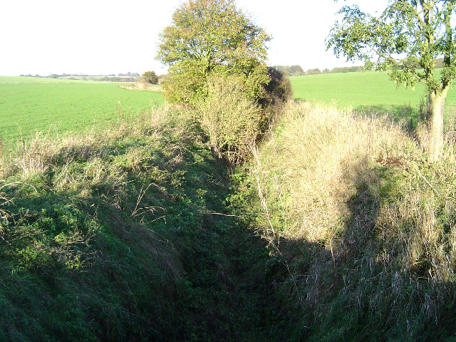
Visitors to Bogs Wood can enjoy a network of well-maintained walking trails, allowing them to explore the forest at their own pace. The paths wind through the trees, offering glimpses of hidden ponds and babbling brooks along the way. There are also designated picnic areas and benches for visitors to rest and take in the natural beauty of the surroundings.

Overall, Bogs Wood is a captivating woodland that offers a peaceful escape from the hustle and bustle of everyday life. Its breathtaking scenery, diverse wildlife, and well-maintained trails make it a must-visit destination for anyone seeking a connection with nature in Hertfordshire.

If you have any feedback on the listing, please let us know in the comments section below.
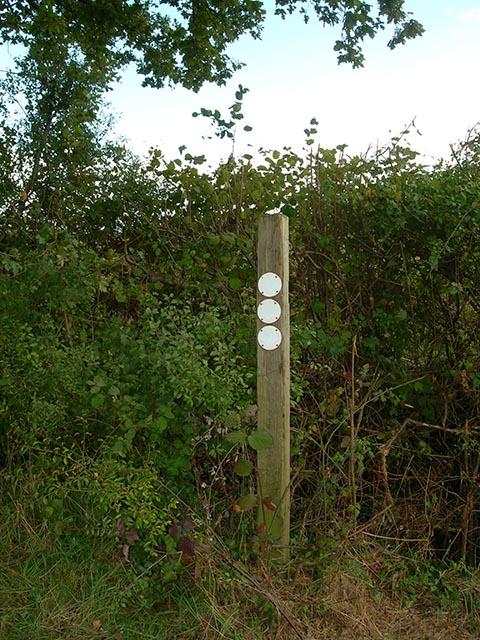
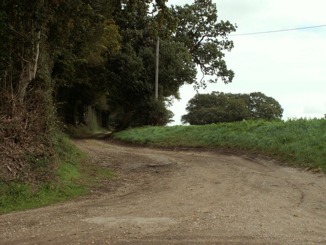
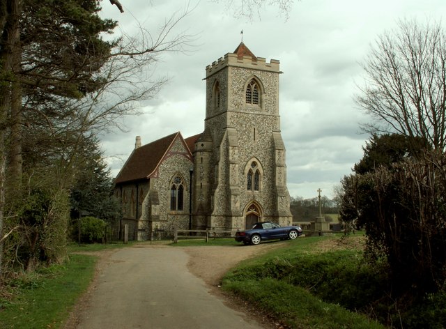
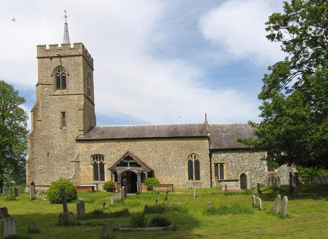
Bogs Wood Images

Images are sourced within 2km of 51.908373/0.10875748 or Grid Reference TL4525. Thanks to Geograph Open Source API. All images are credited.

Field between the woods With Oaken Spring wood behind.
Field between the woods
With Oaken Spring wood behind.
River Ash valley near Gravesend Gravesend, Hertfordshire, that is! Arable farmland covers both sides of the river valley here. Viewed looking north westwards, Furneux Pelham Church is just visible as a grey block in front of the woodland on the horizon in the left distance.
River Ash valley near Gravesend
Gravesend, Hertfordshire, that is! Arable farmland covers both sides of the river valley here. Viewed looking north westwards, Furneux Pelham Church is just visible as a grey block in front of the woodland on the horizon in the left distance.
Patmore Heath Patmore Heath is an example of grass heathland, now a scarce habitat in the south east of England. The heath is an SSSI, managed by The Herts and Middlesex Wildlife Trust, and covers about 9 hectares. There are several ponds, the southernmost of which is viewed here. <span class="nowrap"><a title="http://www.wildlifetrust.org.uk/herts/reserves/patmore%20heath.htm" rel="nofollow ugc noopener" href="http://www.wildlifetrust.org.uk/herts/reserves/patmore%20heath.htm">Link</a><img style="margin-left:2px;" alt="External link" title="External link - shift click to open in new window" src="https://s1.geograph.org.uk/img/external.png" width="10" height="10"/></span> for further information.
Patmore Heath
Patmore Heath is an example of grass heathland, now a scarce habitat in the south east of England. The heath is an SSSI, managed by The Herts and Middlesex Wildlife Trust, and covers about 9 hectares. There are several ponds, the southernmost of which is viewed here. LinkExternal link for further information.
River Ash near Gravesend Gravesend, Hertfordshire, that is! Viewed looking northwards and upstream, the river channel is dry for most of the year, water only being present when groundwater reaches the surface in the winter, or in flash floods.
River Ash near Gravesend
Gravesend, Hertfordshire, that is! Viewed looking northwards and upstream, the river channel is dry for most of the year, water only being present when groundwater reaches the surface in the winter, or in flash floods.
Albury The finest village football pitch complete with dugouts for the management, railings to keep the spectators in order, and there is a pavilion, not in the photo, too. The tower of the 13th Century Church of St. Mary The Virgin is visible above the trees. The very informative and active village website can be found here <span class="nowrap"><a title="http://www.alburyvillage.org.uk/index.htm" rel="nofollow ugc noopener" href="http://www.alburyvillage.org.uk/index.htm">Link</a><img style="margin-left:2px;" alt="External link" title="External link - shift click to open in new window" src="https://s1.geograph.org.uk/img/external.png" width="10" height="10"/></span>
Albury
The finest village football pitch complete with dugouts for the management, railings to keep the spectators in order, and there is a pavilion, not in the photo, too. The tower of the 13th Century Church of St. Mary The Virgin is visible above the trees. The very informative and active village website can be found here LinkExternal link
Clapgate Clapgate village viewed looking northwards towards the crossroads. This is an inadvertent near-repeat of an old photo on the Albury Village website, <span class="nowrap"><a title="http://www.alburyvillage.org.uk/images/Clapgate%20crossroads%20looking%20North.jpg" rel="nofollow ugc noopener" href="http://www.alburyvillage.org.uk/images/Clapgate%20crossroads%20looking%20North.jpg">Link</a><img style="margin-left:2px;" alt="External link" title="External link - shift click to open in new window" src="https://s1.geograph.org.uk/img/external.png" width="10" height="10"/></span> with the building on the right showing in both.
Clapgate
Clapgate village viewed looking northwards towards the crossroads. This is an inadvertent near-repeat of an old photo on the Albury Village website, LinkExternal link with the building on the right showing in both.
Cottage at Farnham Green, Essex
Telephone box Old red phone box at Farnham Green.
Telephone box
Old red phone box at Farnham Green.
Patmore Hall farm buildings Viewed from the Harcamlow Way at Bogs Wood
Patmore Hall farm buildings
Viewed from the Harcamlow Way at Bogs Wood
Bogs Wood The Harcamlow Way at the eastern end of the wood
Bogs Wood
The Harcamlow Way at the eastern end of the wood
Upwick Farm House The house is about 50m from where the Harcamlow Way meets the road in the village of Upwick
Upwick Farm House
The house is about 50m from where the Harcamlow Way meets the road in the village of Upwick
Pillar Box Cottage This cottage is 50m from the Harcamlow Way where it enters the tiny village of Upwick Green
Pillar Box Cottage
This cottage is 50m from the Harcamlow Way where it enters the tiny village of Upwick Green
The Common The Common is a 1.5 km almost dead straight path leading from near Upwick Green to Thrimley Lane
The Common
The Common is a 1.5 km almost dead straight path leading from near Upwick Green to Thrimley Lane
Wood adjoining The Common Halfway along the length of The Common, there is this long, very narrow wood at right angles. Very distinctive
Wood adjoining The Common
Halfway along the length of The Common, there is this long, very narrow wood at right angles. Very distinctive
The wood adjoining The Common Looking west along The Common at the long, very narrow wood which is at right angles to the north
The wood adjoining The Common
Looking west along The Common at the long, very narrow wood which is at right angles to the north
Power lines These power lines cross The Common <a href="https://www.geograph.org.uk/gridref/TL457246">TL457246</a> at GR TL45242456
Power lines
These power lines cross The Common TL457246 at GR TL45242456
Footpath signpost Well-faded signs at the junction of The Common with Thrimley Lane which runs from Farnham to Bishop's Stortford.
Footpath signpost
Well-faded signs at the junction of The Common with Thrimley Lane which runs from Farnham to Bishop's Stortford.
Track leading to farmland
Show me another place!

Bogs Wood is located at Grid Ref: TL4525 (Lat: 51.908373, Lng: 0.10875748)

Administrative County: Hertfordshire

District: East Hertfordshire

Police Authority: Hertfordshire

What 3 Words

///ballooned.adding.librarian. Near Bishops Stortford, Hertfordshire

Nearby Locations

Bogs Wood

Related Wikis

Patmore Heath

Patmore Heath is a 7.6 hectares (19 acres) biological Site of Special Scientific Interest in East Hertfordshire, England, 2 kilometres north-east of Albury...

Albury, Hertfordshire

Albury is a village and civil parish in the East Hertfordshire district of Hertfordshire, England, about five miles west of Bishop's Stortford. According...

Hillcollins Pit

Hillcollins Pit or Furneux Pelham Gravel Pit is a 0.2-hectare (0.49-acre) geological Site of Special Scientific Interest near Furneux Pelham in Hertfordshire...

Farnham, Essex

Farnham is a small village in Essex, England, situated near Bishop's Stortford. The main features are Farnham Church of England Primary School, the church...

Albury End

Albury End is a hamlet in Hertfordshire, England. It is in the civil parish of Albury. == External links == Media related to Albury End at Wikimedia Commons

Little Hadham

Little Hadham is a village and civil parish in the district of East Hertfordshire, Hertfordshire, England. At the census of 2001 it had a population of...

Barleycroft End

Barleycroft End is a hamlet in Hertfordshire, England. It is in the civil parish of Furneux Pelham. == External links == Media related to Barleycroft...

Furneux Pelham

Furneux Pelham or Furneaux Pelham is a village and civil parish in Hertfordshire, England. The village is one of the Pelhams, part of an early medieval...

Nearby Amenities

Located within 500m of 51.908373,0.10875748
Barrier: stile
Lat/Long: 51.9085874/0.1055448
Barrier: stile
Lat/Long: 51.9087411/0.1053018
Power: pole
Lat/Long: 51.9101822/0.1054832
Power: pole
Lat/Long: 51.9113024/0.1088253
Power: pole
Lat/Long: 51.9096362/0.10378
Power: pole
Lat/Long: 51.9120437/0.1103004
Power: pole
Lat/Long: 51.9109582/0.1074574
Power: pole
Lat/Long: 51.912636/0.1109845
Power: pole
Lat/Long: 51.9100465/0.1046705
Power: pole
Lat/Long: 51.9091067/0.1026376
Power: pole
Lat/Long: 51.9105578/0.1064488
Power: pole
Lat/Long: 51.9098016/0.102144
Barrier: kissing_gate
Lat/Long: 51.9091404/0.1018786
Addr Housename: Bogs Cottage
Note: Listed building 1101904
Lat/Long: 51.9090338/0.1058587
Addr Housename: The Lodge
Lat/Long: 51.9096081/0.1088627
Addr Housename: Patmore Hall
Lat/Long: 51.9104701/0.1089889
The data included in this document is from www.openstreetmap.org. The data is made available under ODbL.

Have you been to Bogs Wood?

Leave your review of Bogs Wood below (or comments, questions and feedback).