High Wood
Wood, Forest in Sussex Wealden
England
High Wood

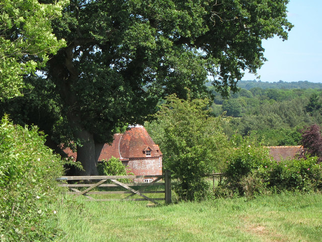
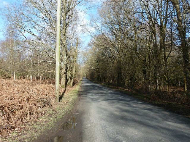
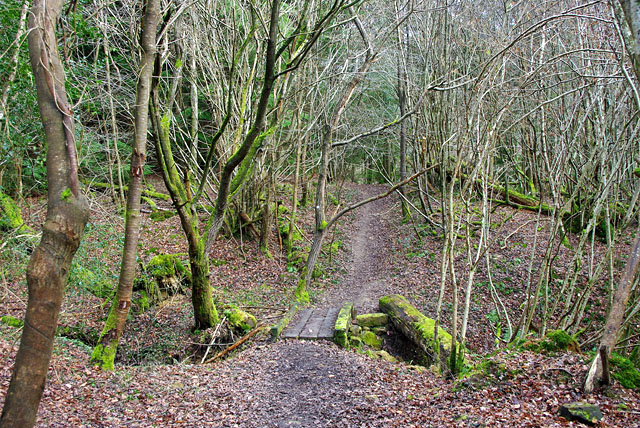
High Wood, Sussex, also known as High Forest, is a sprawling woodland located in the county of Sussex, England. Covering an area of approximately 500 hectares, it is one of the largest and most diverse woodlands in the region. The wood is situated near the village of High Hurstwood, and it is managed by a local conservation organization.
High Wood features a rich and varied ecosystem, with a mix of ancient woodland, coniferous plantation, and open glades. The woodland is predominantly composed of broadleaf trees, including oak, beech, and birch, which create a dense canopy that provides shelter and food for a wide range of wildlife.
The wood is home to a diverse array of bird species, such as woodpeckers, nightingales, and tawny owls, which can be heard throughout the year. Small mammals, including badgers, foxes, and squirrels, also inhabit the woodland, while deer can often be spotted grazing in the open areas.
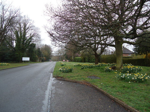
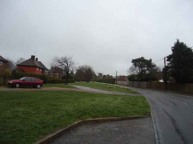
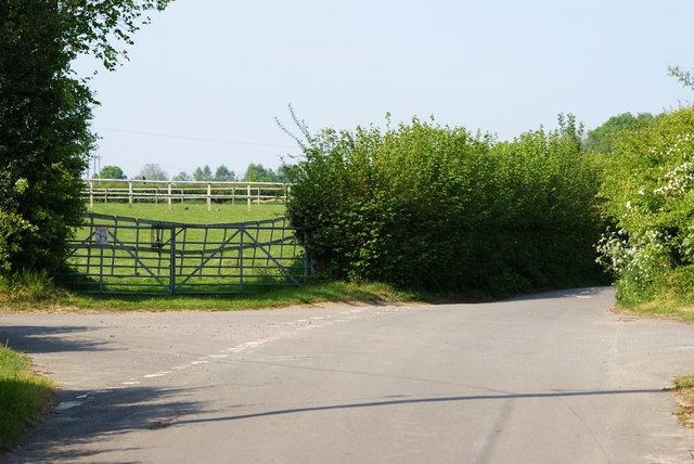
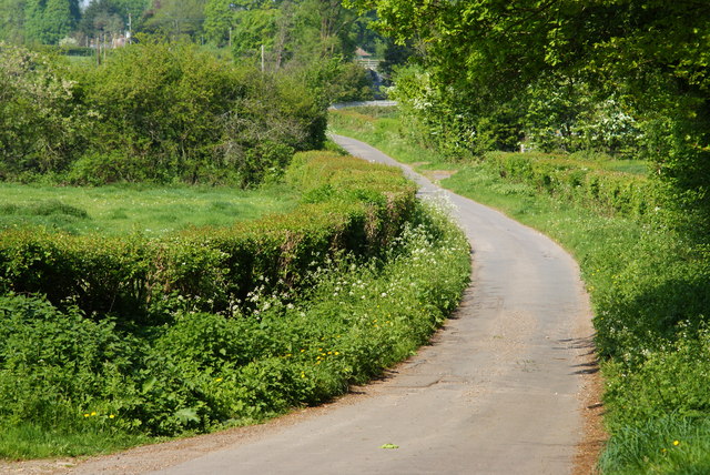
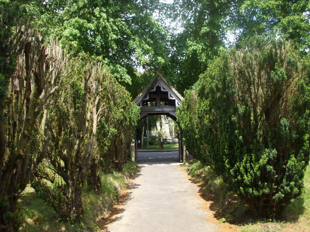
High Wood is popular among nature enthusiasts, walkers, and cyclists who are drawn to its tranquil atmosphere and scenic beauty. There are several well-maintained trails and footpaths that wind through the wood, allowing visitors to explore its different sections and enjoy the varied flora and fauna.
Efforts have been made to preserve the natural integrity of High Wood, with conservation initiatives focused on maintaining the woodland's biodiversity and protecting its unique habitats. This includes selective tree felling, habitat restoration, and the creation of nesting sites for birds.
Overall, High Wood, Sussex, is a cherished natural treasure, offering a haven for wildlife and a peaceful retreat for those seeking a connection with nature in the heart of Sussex.
If you have any feedback on the listing, please let us know in the comments section below.
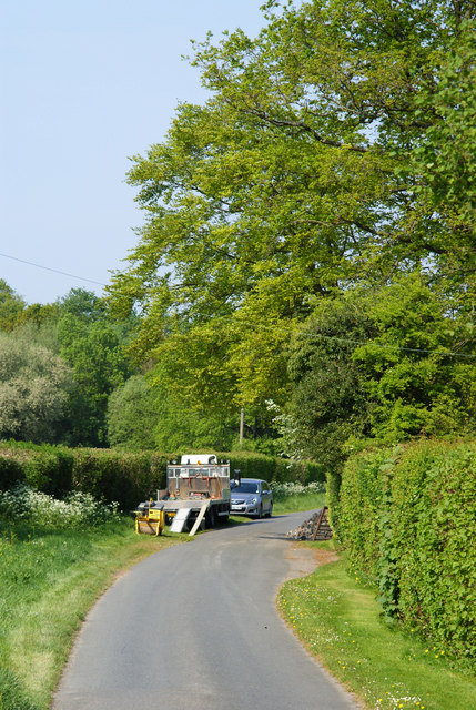
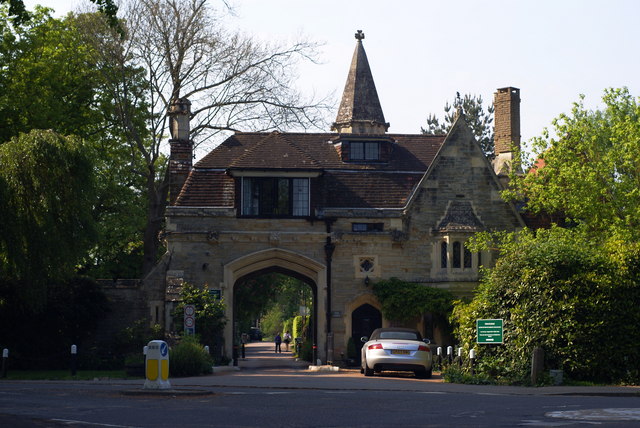
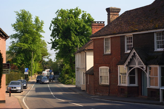
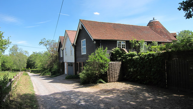
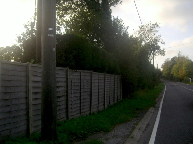
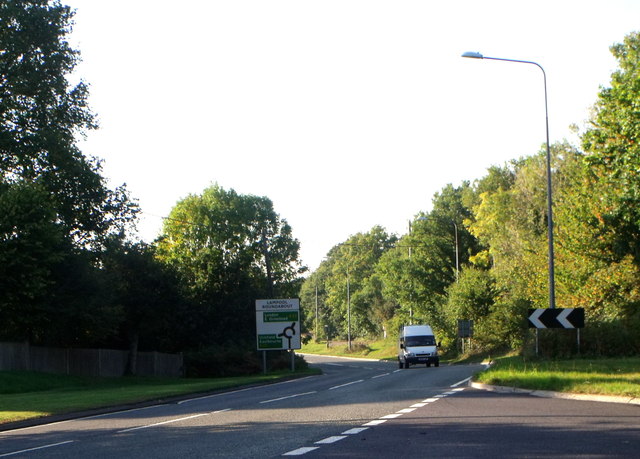
High Wood Images
Images are sourced within 2km of 51.004022/0.06236488 or Grid Reference TQ4424. Thanks to Geograph Open Source API. All images are credited.


High Wood is located at Grid Ref: TQ4424 (Lat: 51.004022, Lng: 0.06236488)
Administrative County: East Sussex
District: Wealden
Police Authority: Sussex
What 3 Words
///eliminate.backswing.lure. Near Uckfield, East Sussex
Nearby Locations
Related Wikis

Piltdown Man
The Piltdown Man was a paleoanthropological fraud in which bone fragments were presented as the fossilised remains of a previously unknown early human...

Maresfield
Maresfield is a village and civil parish in the Wealden District of East Sussex, England. The village itself lies 1.5 miles (2.4 km) north from Uckfield...

A.F.C. Uckfield Town
A.F.C. Uckfield Town is a community football club based in Uckfield, East Sussex, England. They are currently members of the Southern Combination Premier...
A.F.C. Uckfield
Association Football Club Uckfield was a football club based in Uckfield, East Sussex, England. == History == The club was formed in 1988 as Wealden Football...
Rock Wood
Rock Wood is a 10.4-hectare (26-acre) biological Site of Special Scientific Interest north of Uckfield in East Sussex.This ancient wood has several different...

Buxted Park
Buxted Park is an 84.7 hectare (206.16 acre) biological Site of Special Scientific Interest, located near the village of Buxted, East Sussex, England....

Piltdown
Piltdown is a series of hamlets in East Sussex, England, located south of Ashdown Forest. It is best known for the Piltdown Man hoax where amateur archaeologist...

Fletching, East Sussex
Fletching is a village and civil parish in the Wealden District of East Sussex, England. It is located three miles (4.8 km) to the north-west of Uckfield...
Nearby Amenities
Located within 500m of 51.004022,0.06236488Have you been to High Wood?
Leave your review of High Wood below (or comments, questions and feedback).