Daleham Wood
Wood, Forest in Sussex Wealden
England
Daleham Wood

Daleham Wood, located in the county of Sussex, England, is a picturesque woodland area known for its natural beauty and diverse wildlife. Spanning over a significant area, the wood is predominantly made up of broadleaf trees, creating a dense and enchanting forest atmosphere.
The wood boasts a variety of tree species, including oak, beech, ash, and birch, which contribute to its rich and vibrant ecosystem. These trees provide shelter and sustenance for numerous animal species, making Daleham Wood a haven for wildlife enthusiasts and nature lovers alike. Visitors may have the chance to spot deer, badgers, foxes, and a wide array of bird species in their natural habitat.
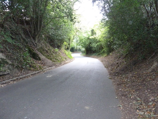
Traversing through the wood, visitors will find a network of well-maintained footpaths and trails, allowing them to explore the area at their own pace. The paths wind through the trees, revealing hidden nooks and crannies, and offering breathtaking views of the surrounding countryside.
Additionally, Daleham Wood is home to a small pond, adding to the tranquility of the area. The pond attracts a variety of water-loving creatures, such as frogs, newts, and dragonflies, creating a fascinating ecosystem within the wood's boundaries.
The wood is not only a haven for wildlife but also a popular destination for outdoor activities. Many visitors enjoy walking, jogging, or cycling along the paths, immersing themselves in the peaceful ambiance. As a result, Daleham Wood is often frequented by families, individuals seeking relaxation, and nature enthusiasts eager to explore and appreciate the wonders of this Sussex woodland.
If you have any feedback on the listing, please let us know in the comments section below.
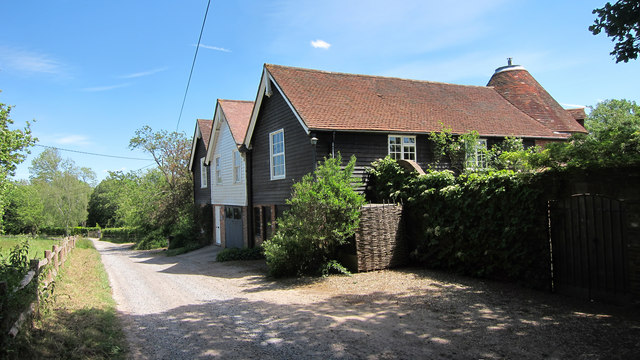
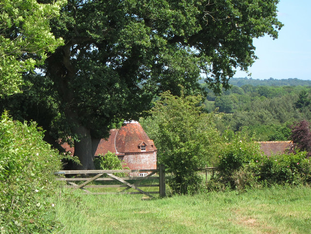
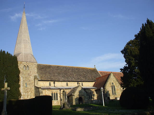
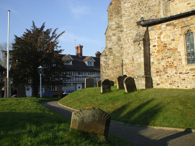
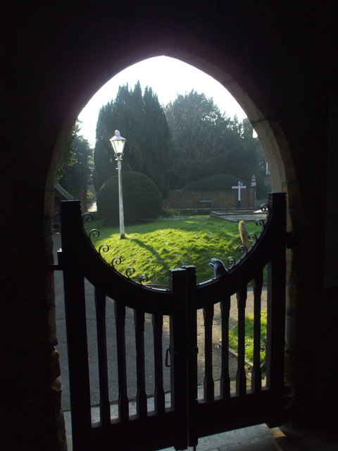
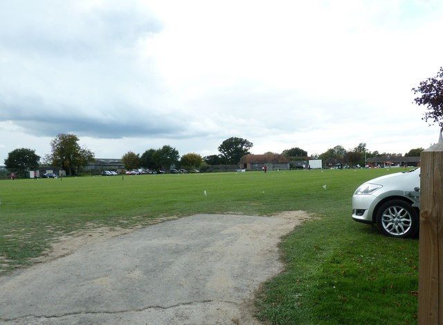
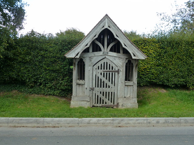
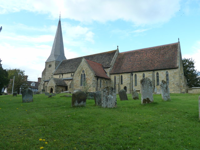
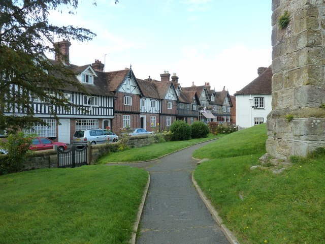
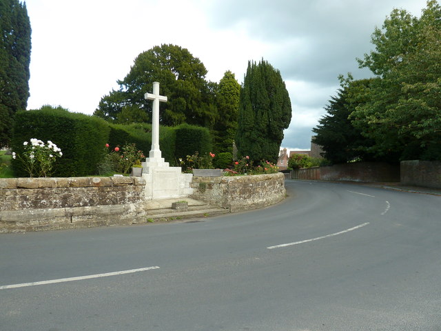
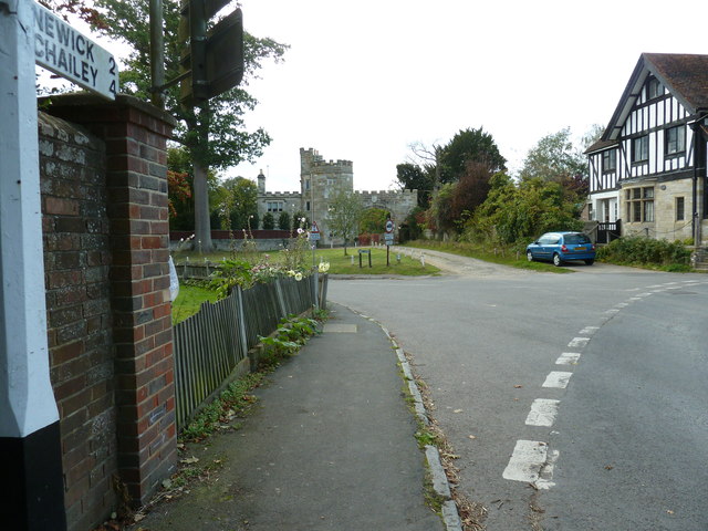
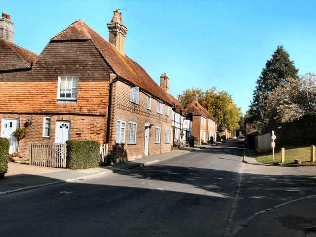
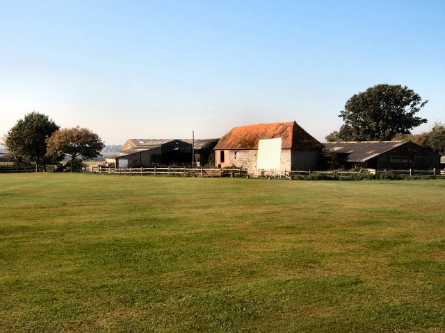
Daleham Wood Images
Images are sourced within 2km of 51.000088/0.051315639 or Grid Reference TQ4424. Thanks to Geograph Open Source API. All images are credited.


Daleham Wood is located at Grid Ref: TQ4424 (Lat: 51.000088, Lng: 0.051315639)
Administrative County: East Sussex
District: Wealden
Police Authority: Sussex
What 3 Words
///scorch.nimbly.agreeable. Near Newick, East Sussex
Nearby Locations
Related Wikis

Piltdown Man
The Piltdown Man was a paleoanthropological fraud in which bone fragments were presented as the fossilised remains of a previously unknown early human...

Fletching, East Sussex
Fletching is a village and civil parish in the Wealden District of East Sussex, England. It is located three miles (4.8 km) to the north-west of Uckfield...

Sheffield Park cricket ground
Sheffield Park is a cricket ground at the Sheffield Park estate, located near Uckfield, East Sussex, England. From 1881 to 1896 it was the home ground...

Piltdown
Piltdown is a series of hamlets in East Sussex, England, located south of Ashdown Forest. It is best known for the Piltdown Man hoax where amateur archaeologist...
Nearby Amenities
Located within 500m of 51.000088,0.051315639Have you been to Daleham Wood?
Leave your review of Daleham Wood below (or comments, questions and feedback).