Drews Rough

Wood, Forest in Kent Sevenoaks

England

Drews Rough

Cottage near Holtye, Kent/Sussex border This cottage stands on the site of an old ironworks. The road runs across the dam that supplied the water to power the bellows that worked the furnace.
Cottage near Holtye, Kent/Sussex border Credit: Ron Strutt

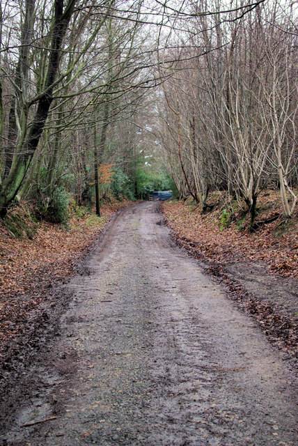
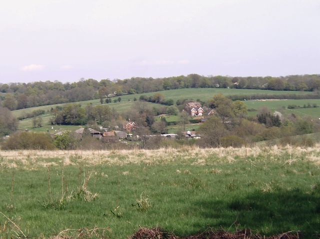
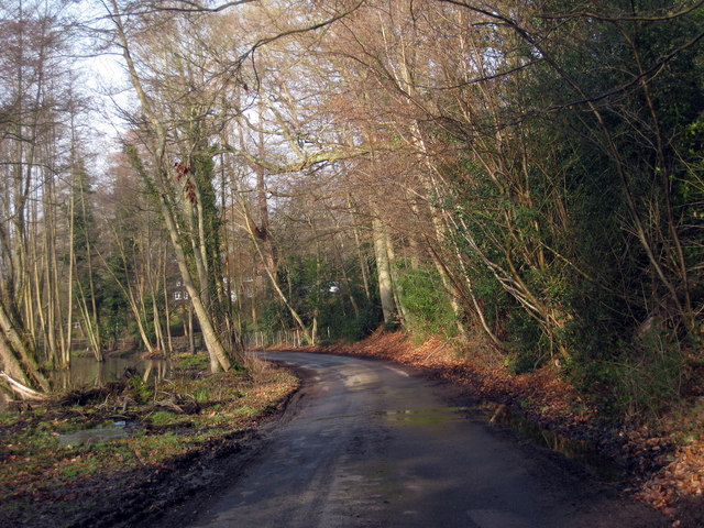
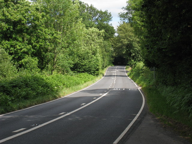
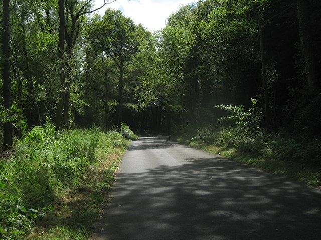
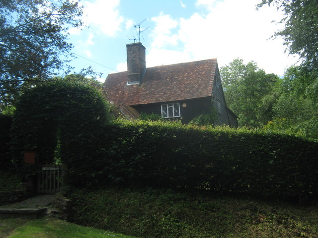
Drews Rough is a picturesque woodland located in Kent, England. Nestled within the larger expanse of the Kent Downs Area of Outstanding Natural Beauty, this forested area covers approximately 300 acres, providing a serene and diverse environment for visitors to explore.

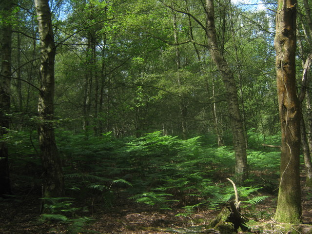
The wood is predominantly composed of native species, including oak, birch, ash, and beech trees. This rich variety of trees creates a vibrant canopy that offers shade and shelter to a wide array of woodland flora and fauna. The forest floor is adorned with carpets of bluebells in the spring, while ferns and mosses thrive in the damp and shaded areas.

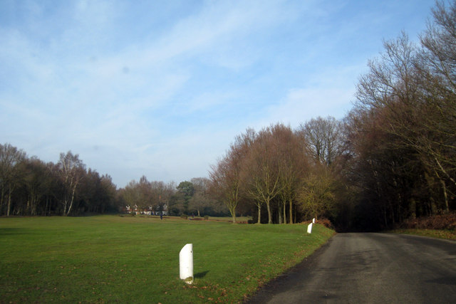
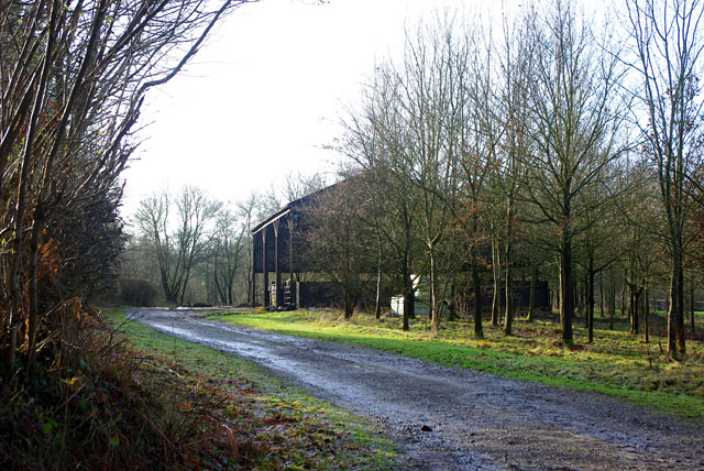
Drews Rough is crisscrossed by a network of footpaths and trails, allowing visitors to venture deep into the woods and discover its hidden treasures. Whether it's a leisurely stroll or an adventurous hike, the forest offers something for everyone. Wildlife enthusiasts will be delighted by the presence of various bird species, including woodpeckers and owls, as well as small mammals like foxes and squirrels.

The forest management team ensures that Drews Rough remains a well-maintained and accessible natural space. They actively promote sustainable practices, including selective tree felling and replanting, to maintain the health and biodiversity of the woodland.

With its tranquil atmosphere and abundance of natural beauty, Drews Rough is a popular destination for nature lovers, hikers, and families seeking a peaceful retreat in the heart of Kent.

If you have any feedback on the listing, please let us know in the comments section below.
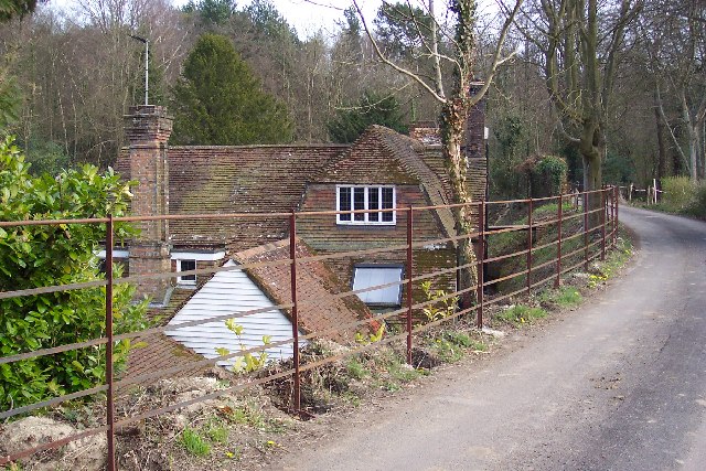
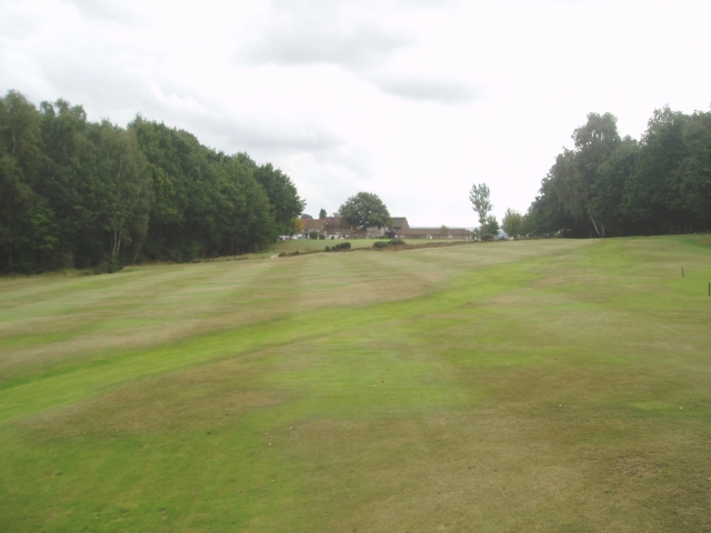
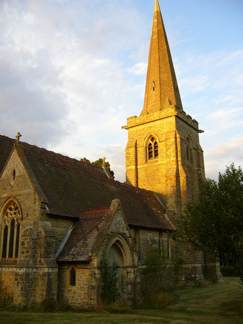
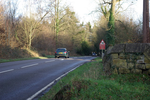
Drews Rough Images

Images are sourced within 2km of 51.145161/0.065061353 or Grid Reference TQ4440. Thanks to Geograph Open Source API. All images are credited.

Cottage near Holtye, Kent/Sussex border This cottage stands on the site of an old ironworks. The road runs across the dam that supplied the water to power the bellows that worked the furnace.
Cottage near Holtye, Kent/Sussex border
This cottage stands on the site of an old ironworks. The road runs across the dam that supplied the water to power the bellows that worked the furnace.
Holtye Golf Club Dating from 1893 and originally called the Liliput it is a 9 hole doubling to 18 holes testing course. <span class="nowrap"><a title="www.holtye.com" rel="nofollow ugc noopener" href="http://www.holtye.com">Link</a><img style="margin-left:2px;" alt="External link" title="External link - shift click to open in new window" src="https://s1.geograph.org.uk/img/external.png" width="10" height="10"/></span>
Holtye Golf Club
Dating from 1893 and originally called the Liliput it is a 9 hole doubling to 18 holes testing course. LinkExternal link
St Stephen's Church Hammerwood
St Stephen's Church
Hammerwood
Bend on A264 east of Hammerwood Church A view east from the gateway into Hammerwood churchyard (its wall is on the right). The feature is the left-hand bend that the approaching car is rounding.
Bend on A264 east of Hammerwood Church
A view east from the gateway into Hammerwood churchyard (its wall is on the right). The feature is the left-hand bend that the approaching car is rounding.
Bridleway from Kent to Sussex A view towards the end of the bridleway (also a private track) where it meets the A264 at a tricky bend.
Bridleway from Kent to Sussex
A view towards the end of the bridleway (also a private track) where it meets the A264 at a tricky bend.
Hammerwood House Hammer Wood is to the right. The Hammer reference is derived from the Wealden iron industry.
Hammerwood House
Hammer Wood is to the right. The Hammer reference is derived from the Wealden iron industry.
Cansiron Lane A snowy morning.
Cansiron Lane
A snowy morning.
Wealden farmland Taken just north of the main road from East Grinstead to Tunbridge Wells.
Wealden farmland
Taken just north of the main road from East Grinstead to Tunbridge Wells.
Golf Course near Cowden
House adjacent Golf Club
Lane near Cowden, Kent
Churchyard, Holtye St Peters The church is now redundant and being sold for private occupancy. No more burials will be made.
Churchyard, Holtye St Peters
The church is now redundant and being sold for private occupancy. No more burials will be made.
Barn near Gotwick Manor Behind a gate off Shepherdsgrove Lane.
Barn near Gotwick Manor
Behind a gate off Shepherdsgrove Lane.
Church of St Peters, Holtye
A264, Holtye Road Past Hammerwood.
A264, Holtye Road
Past Hammerwood.
Holtye Lane This lane leads from Cowden, down the Kitford Bridge over the Kent Water (stream on the Kent / Sussex county boundary), then up towards Hartfield Road.
Holtye Lane
This lane leads from Cowden, down the Kitford Bridge over the Kent Water (stream on the Kent / Sussex county boundary), then up towards Hartfield Road.
House on Holtye Lane Close to Furnace Lane junction.
House on Holtye Lane
Close to Furnace Lane junction.
Holtye Common Wood As seen from a bridleway from Furnace Lane towards the A264 Holtye Road.
Holtye Common Wood
As seen from a bridleway from Furnace Lane towards the A264 Holtye Road.
Show me another place!

Drews Rough is located at Grid Ref: TQ4440 (Lat: 51.145161, Lng: 0.065061353)

Administrative County: Kent

District: Sevenoaks

Police Authority: Kent

What 3 Words

///inner.cars.steps. Near Dormansland, Surrey

Related Wikis

London to Lewes Way

The London to Lewes Way is a 71 kilometres (44 mi) long Roman road between Watling Street at Peckham and Lewes in Sussex. The road passes through Beckenham...

Hammerwood

Hammerwood is a hamlet in the civil parish of Forest Row in East Sussex, England. Its nearest town is East Grinstead, which lies approximately 3.5 miles...

Hammerwood Park

Hammerwood Park is a country house in Hammerwood, near East Grinstead, in East Sussex, England. It is a Grade I listed building. One of the first houses...

Cowden

Cowden () is a small village and civil parish in the Sevenoaks District of Kent, England. The parish is located on the northern slopes of the Weald, south...

Sundridge with Ide Hill

Sundridge and Ide Hill is a civil parish in the Sevenoaks District of Kent, England. It is located in the Darenth valley and lies between Sevenoaks and...

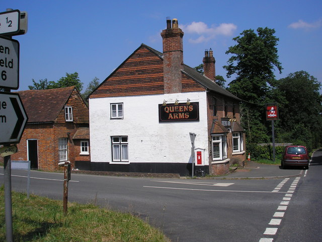
Queen's Arms, Cowden Pound

The Queens Arms is a Grade II listed public house at Hartfield Road, Cowden in Kent. It is on the Campaign for Real Ale's National Inventory of Historic...

Cowden Pound Pastures

Cowden Pound Pastures is a 5.9-hectare (15-acre) biological Site of Special Scientific Interest north of Cowden in Kent. It is managed by the Kent Wildlife...

Cowden railway station

Cowden railway station is on the Uckfield branch of the Oxted line in southern England and serves Cowden in Kent. It is 29 miles 26 chains (29.33 miles...

Related Videos

Nearby Amenities

Located within 500m of 51.145161,0.065061353
Barrier: stile
Lat/Long: 51.148057/0.0699419
The data included in this document is from www.openstreetmap.org. The data is made available under ODbL.

Have you been to Drews Rough?

Leave your review of Drews Rough below (or comments, questions and feedback).