Woodthorpe Wood
Wood, Forest in Lincolnshire East Lindsey
England
Woodthorpe Wood
Woodthorpe Wood is a scenic forest located in the county of Lincolnshire, England. Covering an area of approximately 150 hectares, it is a popular destination for nature lovers and outdoor enthusiasts. The wood is situated near the village of Woodthorpe, just a few miles south of the city of Lincoln.
The wood is predominantly made up of broadleaf trees, including oak, beech, and birch, which create a dense canopy that provides shade and shelter for a variety of wildlife. It is home to numerous species of birds, such as woodpeckers, jays, and owls, making it a paradise for birdwatchers. The forest floor is covered in a diverse range of flora, including bluebells, wild garlic, and ferns, adding to its natural beauty.
Woodthorpe Wood offers a network of well-maintained footpaths and trails, allowing visitors to explore the area on foot or by bicycle. The paths wind through the forest, offering stunning views of the woodland and its inhabitants. There are also designated picnic areas, providing the perfect spot to relax and enjoy a meal amidst the tranquil surroundings.
The wood is managed by the Forestry Commission, ensuring its preservation and conservation for future generations. It is open to the public throughout the year, with no admission fee, making it an accessible and affordable destination for all. Whether for a leisurely stroll, wildlife spotting, or simply to escape the hustle and bustle of daily life, Woodthorpe Wood offers a serene and peaceful retreat in the heart of Lincolnshire.
If you have any feedback on the listing, please let us know in the comments section below.
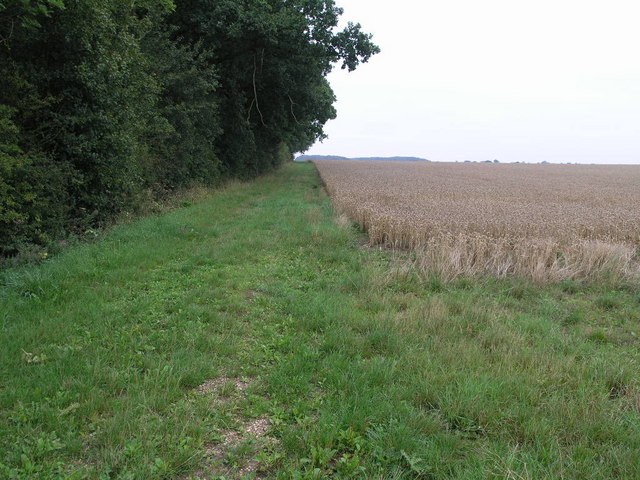
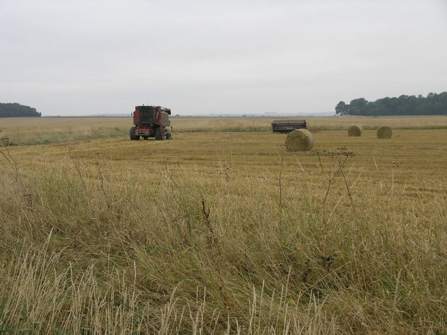
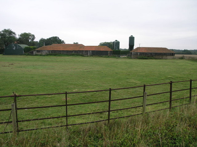
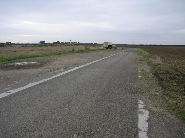
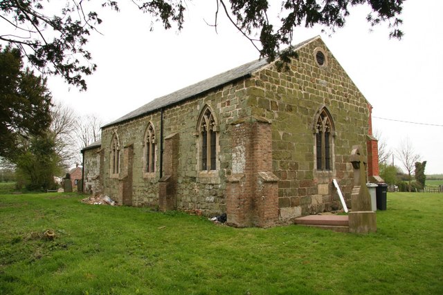
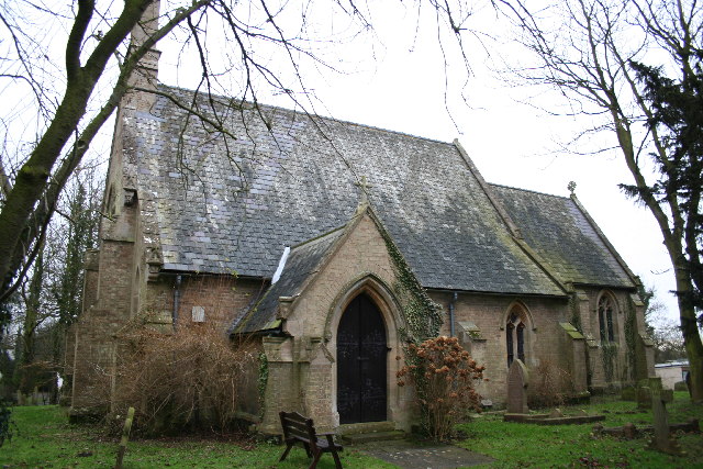
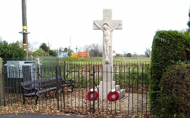
Woodthorpe Wood Images
Images are sourced within 2km of 53.297601/0.16741938 or Grid Reference TF4480. Thanks to Geograph Open Source API. All images are credited.


Woodthorpe Wood is located at Grid Ref: TF4480 (Lat: 53.297601, Lng: 0.16741938)
Administrative County: Lincolnshire
District: East Lindsey
Police Authority: Lincolnshire
What 3 Words
///novel.anchors.butlers. Near Alford, Lincolnshire
Nearby Locations
Related Wikis

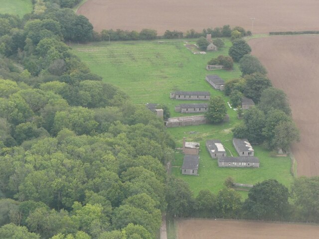
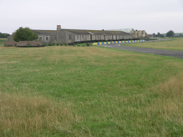
RAF Strubby
Royal Air Force Strubby or more simply RAF Strubby is a former Royal Air Force station 2.9 miles (4.7 km) north of Alford, Lincolnshire, and 8.6 miles...

Beesby with Saleby
Beesby with Saleby is a civil parish in the East Lindsey district of Lincolnshire, England. It includes Beesby and Saleby. According to the 2001 Census...
Saleby
Saleby is a village in the civil parish of Beesby with Saleby, in the East Lindsey district of Lincolnshire, England. It is on the Alford road to Louth...
Withern
Withern is a village in the civil parish of Withern with Stain, in the East Lindsey district of Lincolnshire, England. It is situated on the A157 road...

Strubby
Strubby is a village in the East Lindsey district of Lincolnshire, England. It is situated just north of the A157 road, 8 miles (13 km) south-east from...

Greenfield Priory
Greenfield Priory was a Cistercian priory in Greenfield, near Aby, Lincolnshire, England. It was founded before the year 1153 by Eudo of Grainsby and...

Maltby le Marsh
Maltby le Marsh is a village and civil parish in the East Lindsey district of Lincolnshire, England. The village is situated between Alford and Mablethorpe...
Aby with Greenfield
Aby with Greenfield is a civil parish in the East Lindsey district of Lincolnshire, England. The population of the civil parish at the 2011 Census was...
Nearby Amenities
Located within 500m of 53.297601,0.16741938Have you been to Woodthorpe Wood?
Leave your review of Woodthorpe Wood below (or comments, questions and feedback).