Hartley Wood
Wood, Forest in Kent Sevenoaks
England
Hartley Wood
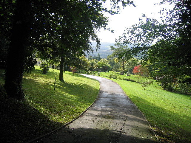
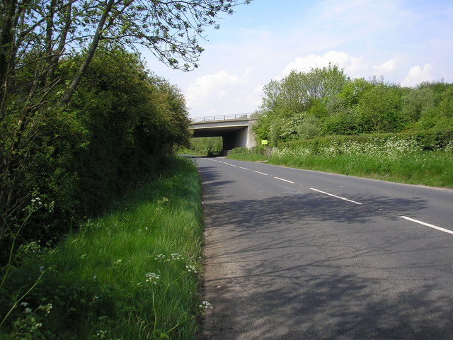
Hartley Wood, located in the county of Kent in southeastern England, is a picturesque and diverse forest area that covers approximately 3 square kilometers. This woodland is situated near the village of Hartley, making it easily accessible for locals and visitors alike.
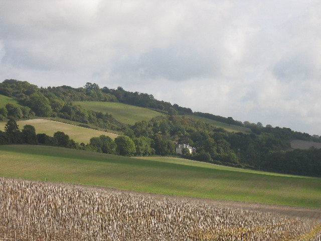
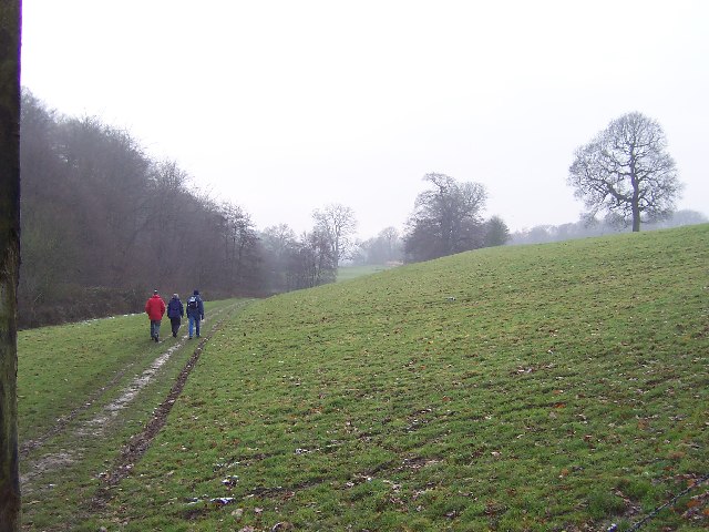
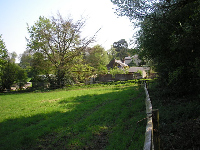
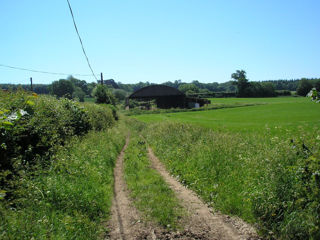
Hartley Wood is known for its rich biodiversity, with a wide variety of trees, plant species, and wildlife thriving within its boundaries. The forest is primarily composed of broadleaf trees such as oak, beech, and birch, creating a beautiful and vibrant canopy overhead. The forest floor is adorned with an array of wildflowers, ferns, and mosses, adding to the overall enchanting atmosphere of the wood.
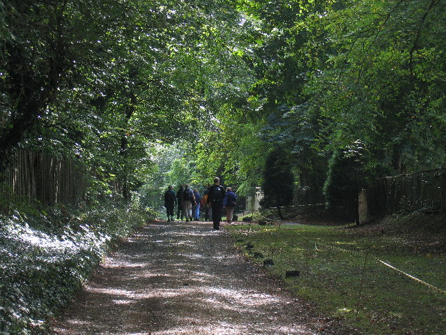
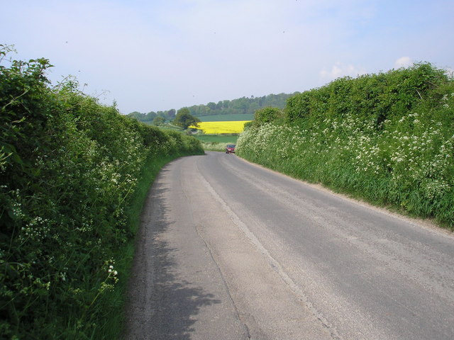
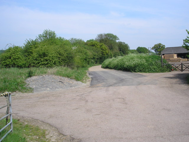
The forest is a popular destination for outdoor enthusiasts, offering numerous walking trails and paths that allow visitors to explore its natural beauty. These trails cater to all levels of fitness and offer opportunities for leisurely strolls as well as more challenging hikes. Along the way, visitors may encounter an array of wildlife, including deer, rabbits, and a variety of bird species.
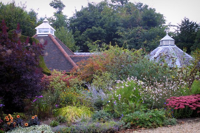
Hartley Wood is also home to several picnic areas and seating spots, providing a perfect setting for a peaceful lunch or a moment of relaxation surrounded by nature. The forest is well-maintained, with regular conservation efforts in place to preserve its ecological balance and protect its inhabitants.
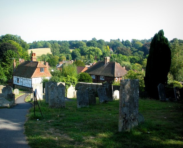
Overall, Hartley Wood in Kent is a captivating and accessible forest that offers a tranquil retreat from the hustle and bustle of everyday life. It is a haven for nature lovers, providing a harmonious blend of natural beauty, wildlife, and recreational opportunities.
If you have any feedback on the listing, please let us know in the comments section below.
Hartley Wood Images
Images are sourced within 2km of 51.277793/0.068552084 or Grid Reference TQ4455. Thanks to Geograph Open Source API. All images are credited.


Hartley Wood is located at Grid Ref: TQ4455 (Lat: 51.277793, Lng: 0.068552084)
Administrative County: Kent
District: Sevenoaks
Police Authority: Kent
What 3 Words
///funny.pumps.model. Near Westerham, Kent
Nearby Locations
Related Wikis

Westerham Wood
Westerham Wood is a 43.2 hectares (107 acres) biological Site of Special Scientific Interest north of Westerham in Kent.This ancient oak wood on Gault...

Pilgrims' Way
The Pilgrims' Way (also Pilgrim's Way or Pilgrims Way) is the historical route supposedly taken by pilgrims from Winchester in Hampshire, England, to the...

Westerham
Westerham is a town and civil parish in the Sevenoaks District of Kent, England. It is located 3.4 miles east of Oxted and 6 miles west of Sevenoaks, adjacent...
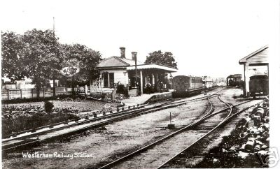
Westerham railway station
Westerham railway station served the village of Westerham in Kent from 1881 until its closure in 1961. == History == No railway was ever constructed all...

Quebec House
Quebec House is the birthplace of General James Wolfe on what is now known as Quebec Square in Westerham, Kent, England. The house is listed Grade I on...
Betsom's Hill
Betsom's Hill is a hill on the North Downs, and the highest point in the county of Kent at 251 metres (823 ft). Situated between Westerham and Tatsfield...

Squerryes Estate
Squerryes Estate is a vineyard, estate, and location of Squerryes Court, a grade I listed building in Kent, England. It is a producer of English sparkling...

Squerryes Court
Squerryes Court is a late 17th-century manor house that stands just outside the town of Westerham in Kent. The house, which has been held by the same family...
Nearby Amenities
Located within 500m of 51.277793,0.068552084Have you been to Hartley Wood?
Leave your review of Hartley Wood below (or comments, questions and feedback).