Force Green
Settlement in Kent Sevenoaks
England
Force Green
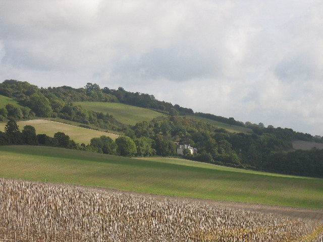
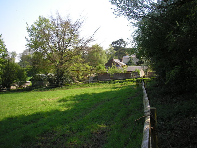
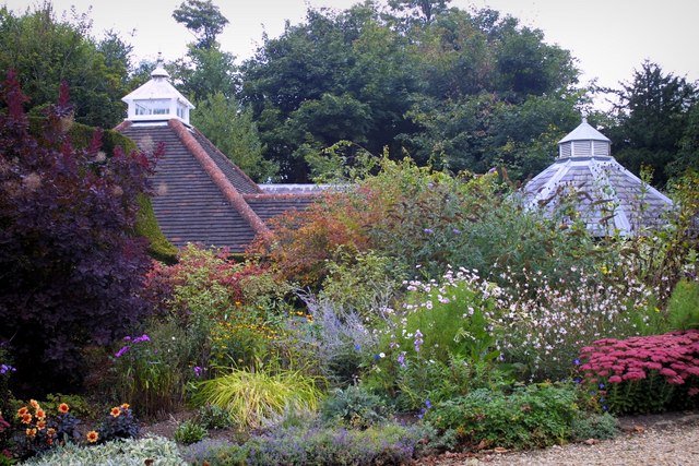
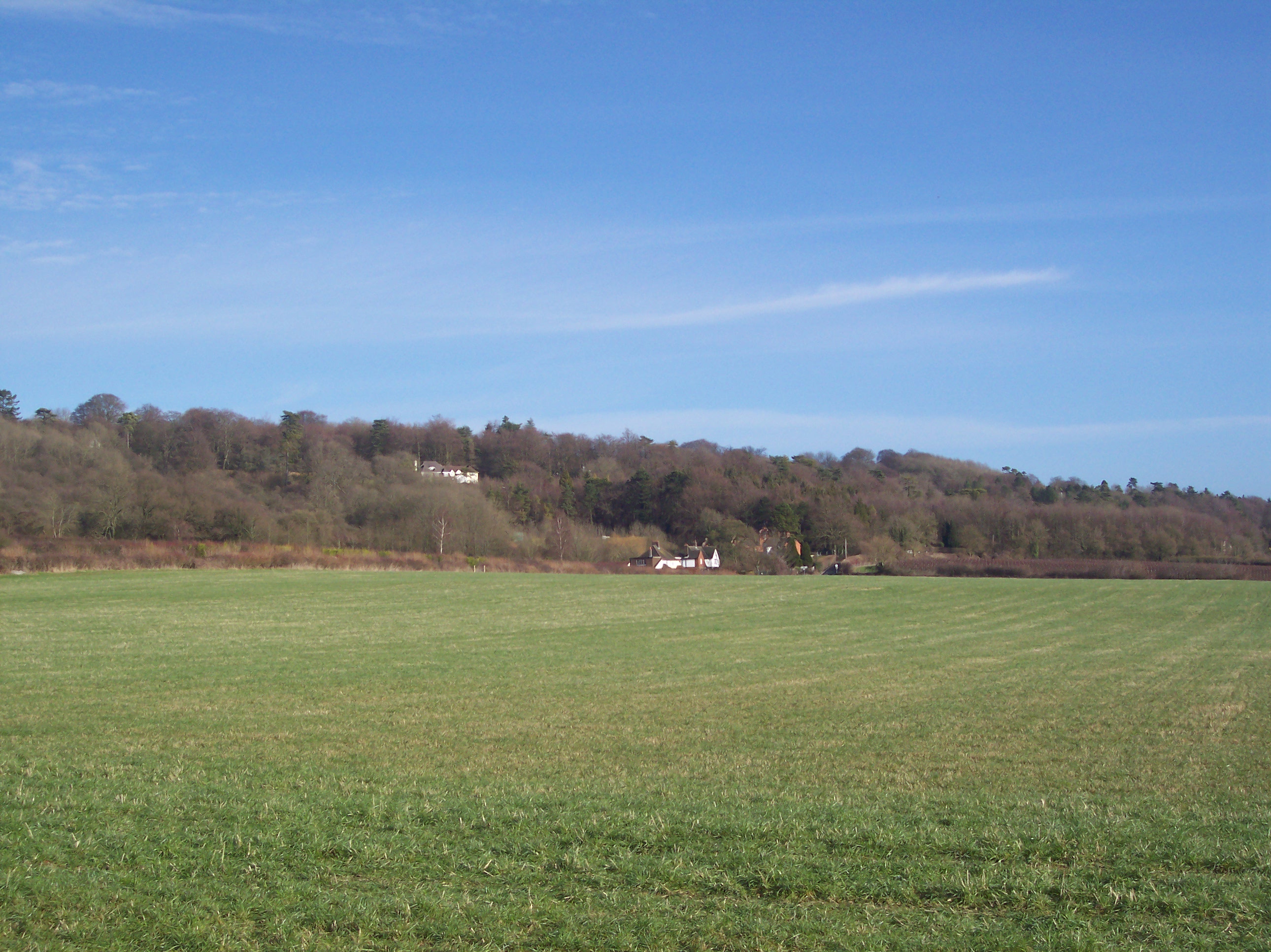
Force Green is a small village located in the county of Kent, in southeastern England. Situated near the town of Maidstone, it is a rural and picturesque settlement that offers a tranquil and idyllic setting for its residents and visitors. The village is nestled amidst the beautiful Kent countryside, characterized by rolling hills, green fields, and charming woodlands.
Force Green is known for its close-knit community and friendly atmosphere. The village is home to a small population, primarily consisting of families and individuals seeking a peaceful lifestyle away from the hustle and bustle of larger towns and cities. The residents of Force Green often engage in community activities, which foster a strong sense of unity and belonging.
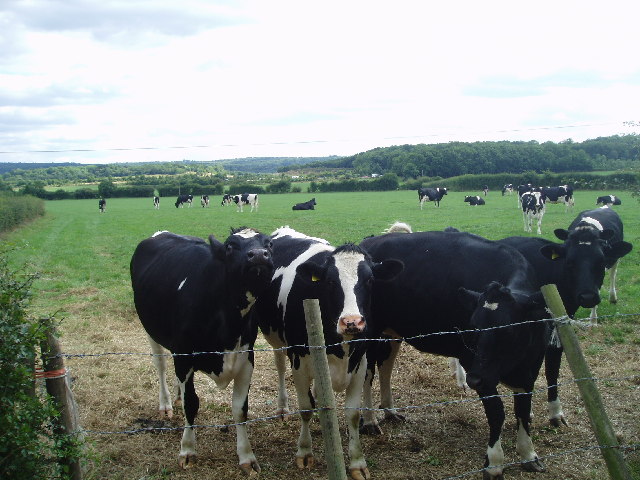
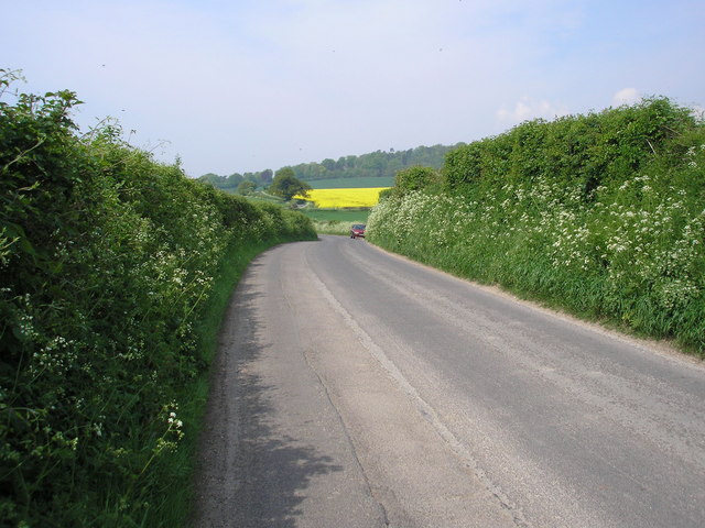
The village is well-connected to the surrounding areas, with good transport links to nearby towns and cities. This allows residents to easily access amenities and services in the larger urban centers, while still enjoying the tranquility of village life. Additionally, Force Green benefits from its proximity to the beautiful Kent Downs, an Area of Outstanding Natural Beauty, which offers ample opportunities for outdoor activities such as hiking, cycling, and birdwatching.
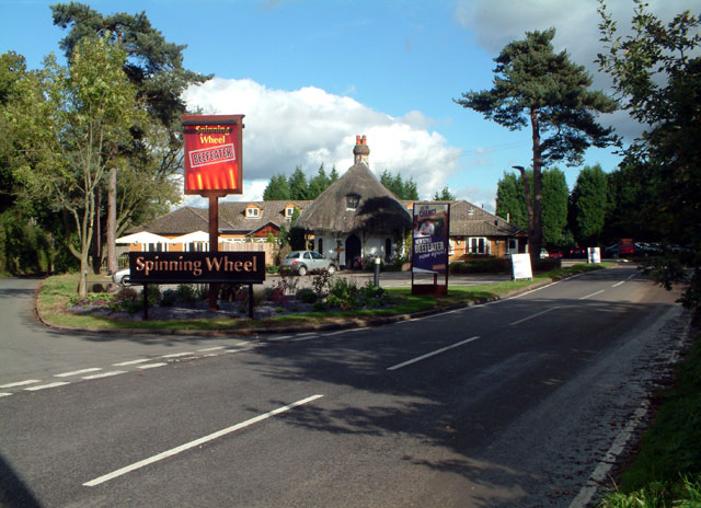
In terms of facilities, Force Green has a small primary school, a village hall, and a local pub, which serves as a hub for social gatherings and community events. Although the village itself does not have a wide range of amenities, residents can find a variety of shops, supermarkets, and leisure facilities within a short drive.
Overall, Force Green is a charming and peaceful village that offers a serene countryside lifestyle, making it an attractive destination for those seeking a slower pace of life surrounded by natural beauty.
If you have any feedback on the listing, please let us know in the comments section below.
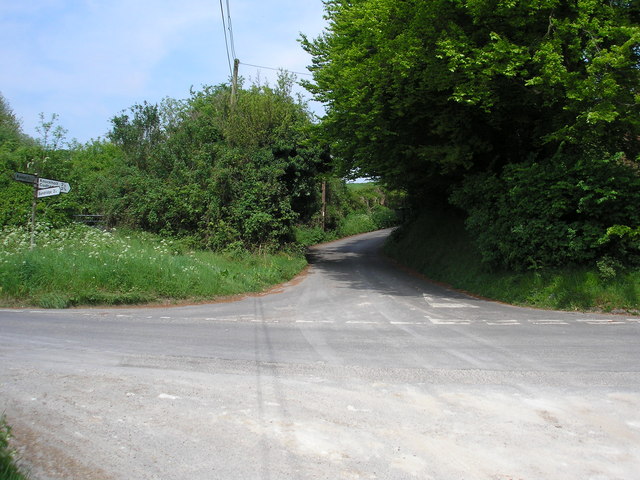
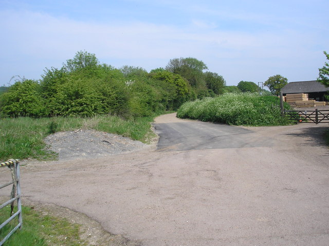
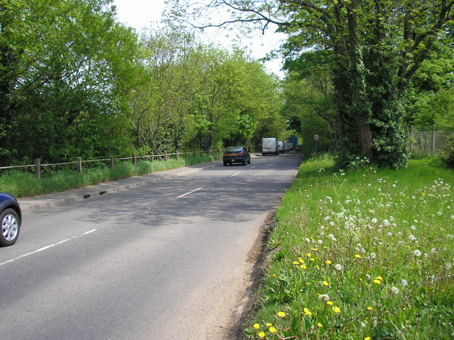
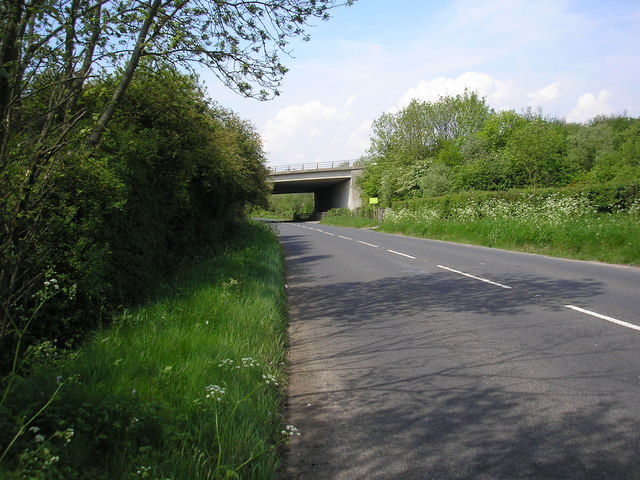
Force Green Images
Images are sourced within 2km of 51.279723/0.075618 or Grid Reference TQ4455. Thanks to Geograph Open Source API. All images are credited.


Force Green is located at Grid Ref: TQ4455 (Lat: 51.279723, Lng: 0.075618)
Administrative County: Kent
District: Sevenoaks
Police Authority: Kent
What 3 Words
///suffice.orbit.tries. Near Westerham, Kent
Nearby Locations
Related Wikis

Pilgrims' Way
The Pilgrims' Way (also Pilgrim's Way or Pilgrims Way) is the historical route supposedly taken by pilgrims from Winchester in Hampshire, England, to the...

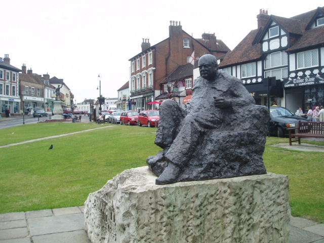
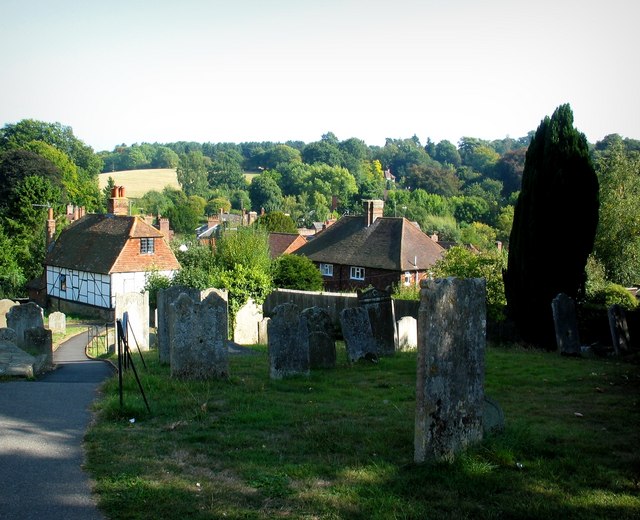
Westerham
Westerham is a town and civil parish in the Sevenoaks District of Kent, England. It is located 3.4 miles east of Oxted and 6 miles west of Sevenoaks, adjacent...

Westerham Wood
Westerham Wood is a 43.2 hectares (107 acres) biological Site of Special Scientific Interest north of Westerham in Kent.This ancient oak wood on Gault...
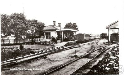
Westerham railway station
Westerham railway station served the village of Westerham in Kent from 1881 until its closure in 1961. == History == No railway was ever constructed all...

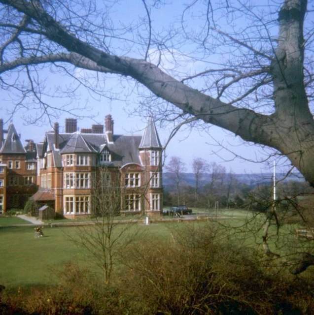
Quebec House
Quebec House is the birthplace of General James Wolfe on what is now known as Quebec Square in Westerham, Kent, England. The house is listed Grade I on...
Betsom's Hill
Betsom's Hill is a hill on the North Downs, and the highest point in the county of Kent at 251 metres (823 ft). Situated between Westerham and Tatsfield...

Brasted railway station
Brasted is a disused intermediate railway station in Brasted, Kent on the closed Westerham Valley branch line. The station closed in 1961 and the site...

Squerryes Estate
Squerryes Estate is a vineyard, estate, and location of Squerryes Court, a grade I listed building in Kent, England. It is a producer of English sparkling...
Nearby Amenities
Located within 500m of 51.279723,0.075618Have you been to Force Green?
Leave your review of Force Green below (or comments, questions and feedback).