Hop Gardens
Wood, Forest in Lincolnshire East Lindsey
England
Hop Gardens
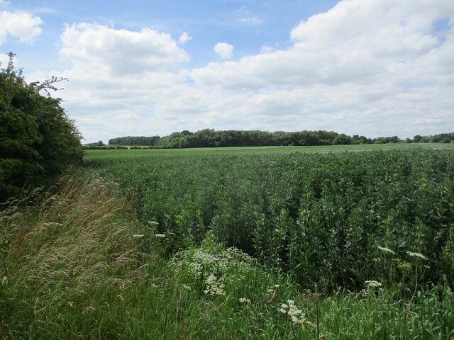
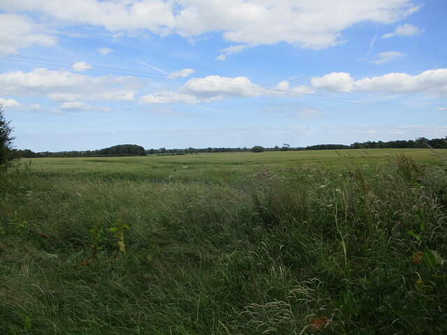
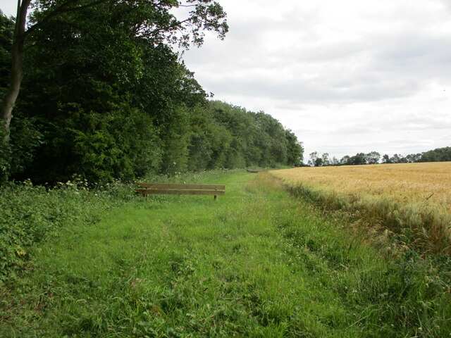
Hop Gardens, located in Lincolnshire, is a charming woodland area known for its scenic beauty and thriving hop industry. Situated in a region rich in natural resources and fertile soil, this forested area has become synonymous with the cultivation of hops, which are used in the production of beer and other beverages.
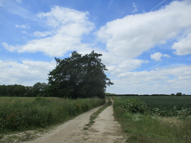
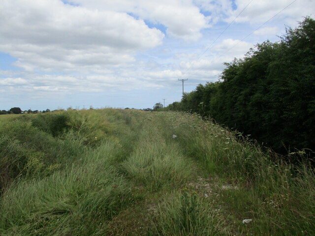
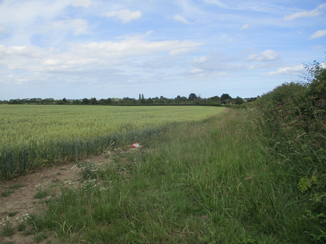
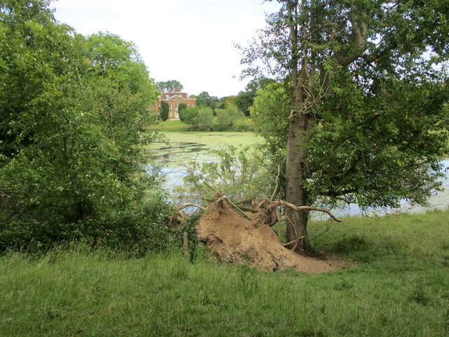
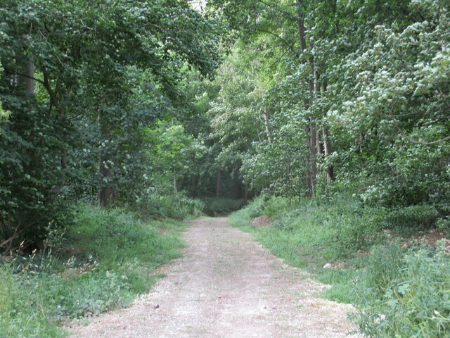
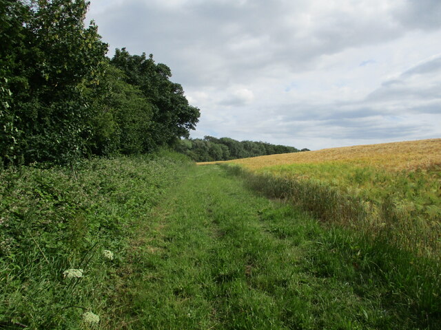
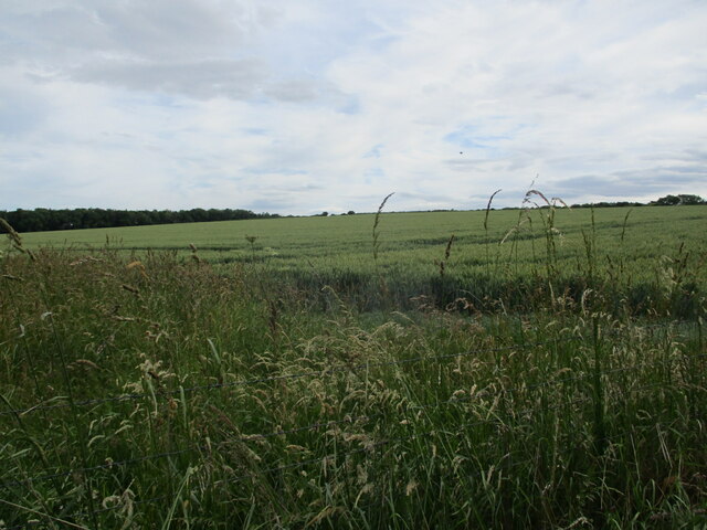
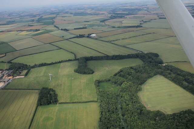
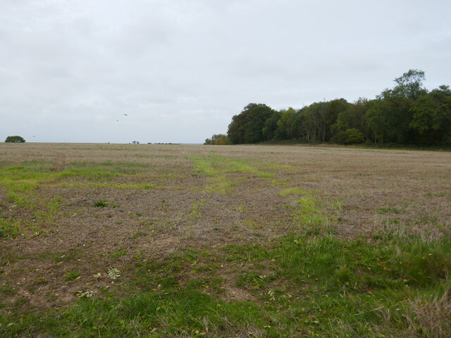
Covering a vast expanse of land, Hop Gardens is adorned with towering trees and lush greenery, creating a serene and picturesque environment. The forest is home to a diverse range of flora and fauna, making it a popular destination for nature enthusiasts and hikers. Visitors can explore the numerous walking trails that wind through the forest, providing stunning views of the surrounding landscape.
The history of Hop Gardens dates back several centuries, with records indicating the presence of hop cultivation in the area as early as the 16th century. Today, the region boasts a thriving hop industry, with numerous hop farms and breweries operating in the vicinity. The fertile soil and favorable climate of Lincolnshire provide ideal conditions for hop cultivation, resulting in high-quality yields.
In addition to its agricultural significance, Hop Gardens also serves as a recreational area for locals and tourists alike. The forest offers various outdoor activities such as picnicking, birdwatching, and camping. The peaceful ambiance and natural beauty of the surroundings make it an ideal spot for relaxation and rejuvenation.
Overall, Hop Gardens in Lincolnshire is a captivating woodland area that combines historical significance with natural splendor. Whether it is exploring the walking trails, learning about the hop industry, or simply immersing oneself in the tranquility of the forest, Hop Gardens offers a delightful experience for visitors of all ages.
If you have any feedback on the listing, please let us know in the comments section below.
Hop Gardens Images
Images are sourced within 2km of 53.240306/0.16190008 or Grid Reference TF4473. Thanks to Geograph Open Source API. All images are credited.


Hop Gardens is located at Grid Ref: TF4473 (Lat: 53.240306, Lng: 0.16190008)
Administrative County: Lincolnshire
District: East Lindsey
Police Authority: Lincolnshire
What 3 Words
///fonts.shipyards.lightens. Near Alford, Lincolnshire
Nearby Locations
Related Wikis

Well, Lincolnshire
Well is a small estate village and civil parish about 1.5 miles (2.4 km) south of the town of Alford, in the East Lindsey district of Lincolnshire, England...
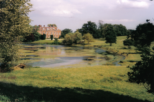
Well Hall, Lincolnshire
Well Hall (or Wellvale Hall) is a country house within the civil parish and estate village of Well, Lincolnshire, England. The house itself is Grade II...

Miles Cross Hill
Miles Cross Hill is a large hill that is the sloping gradient up to the landscape of the Lincolnshire Wolds. As it is the first large hill of the Wolds...
Mawthorpe
Mawthorpe is a hamlet in the East Lindsey district of Lincolnshire, England. It is situated 2 miles (3 km) south from Alford and 1 mile (1.6 km) north...
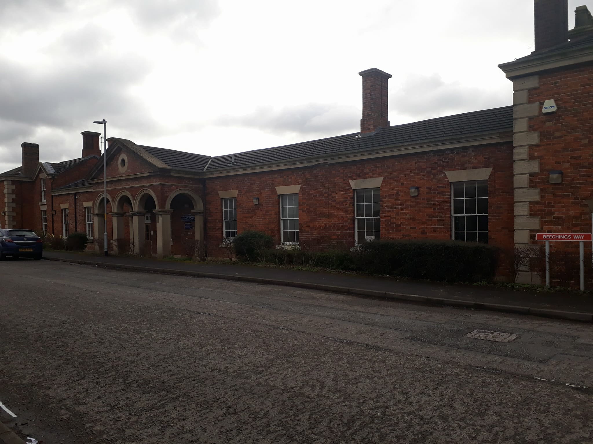
Alford Town railway station
Alford Town was a railway station on the East Lincolnshire Railway which served the town of Alford in Lincolnshire between 1848 and 1970. It originally...
Queen Elizabeth's Grammar School, Alford
Queen Elizabeth's Grammar School, Alford (QEGS) is a selective, co-educational, academy status Grammar School and Sixth Form in Alford, Lincolnshire, England...

Rigsby, Lincolnshire
Rigsby is a village and part of the civil parish of Rigsby with Ailby, in the East Lindsey district of Lincolnshire, England. It is situated approximately...
Claxby St Andrew
Claxby St Andrew (sometimes known as Claxby), is a village and civil parish about 3 miles (5 km) south of Alford, in the East Lindsey district of Lincolnshire...
Nearby Amenities
Located within 500m of 53.240306,0.16190008Have you been to Hop Gardens?
Leave your review of Hop Gardens below (or comments, questions and feedback).