Alder Coppice

Wood, Forest in Sussex Lewes

England

Alder Coppice

Oast House Single round kiln oast house.

Grade II listed.
Oast House Credit: Oast House Archive

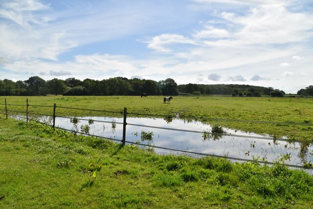
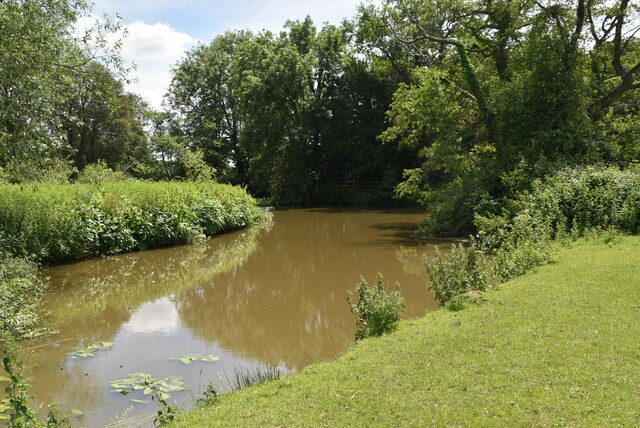
Alder Coppice, located in Sussex, England, is a picturesque woodland renowned for its abundant alder trees. Spread across a vast area, the coppice is often referred to as a forest due to its dense vegetation and diverse ecosystem. The woodland is characterized by its rich biodiversity, attracting nature enthusiasts and hikers alike.

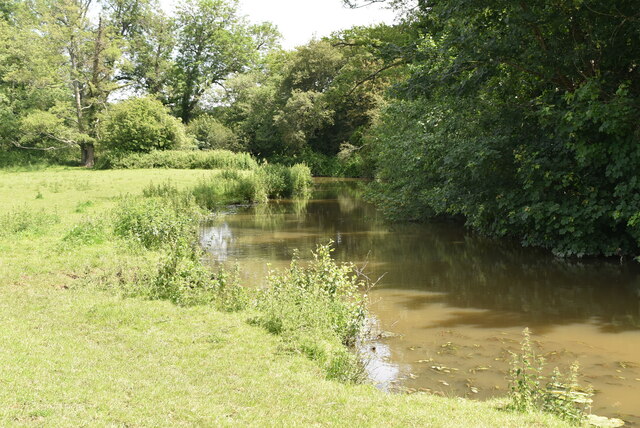
The dominant tree species in Alder Coppice is the alder (Alnus glutinosa), which thrives in the damp and marshy conditions prevalent in the area. These trees, with their distinctive dark bark and oval-shaped leaves, create a striking visual spectacle throughout the year. In spring, the coppice is adorned with clusters of pendulous catkins that sway in the gentle breeze, while in autumn, the alders shed their leaves, painting the forest floor with a vibrant carpet of red and gold.

The woodland is home to a wide array of wildlife, thanks to its diverse habitat. Mammals such as deer, foxes, and badgers can often be spotted roaming the forest floor, while a variety of bird species, including owls, woodpeckers, and warblers, find sanctuary in the towering alder trees. Additionally, the coppice is teeming with smaller creatures like squirrels, rabbits, and an assortment of insects.

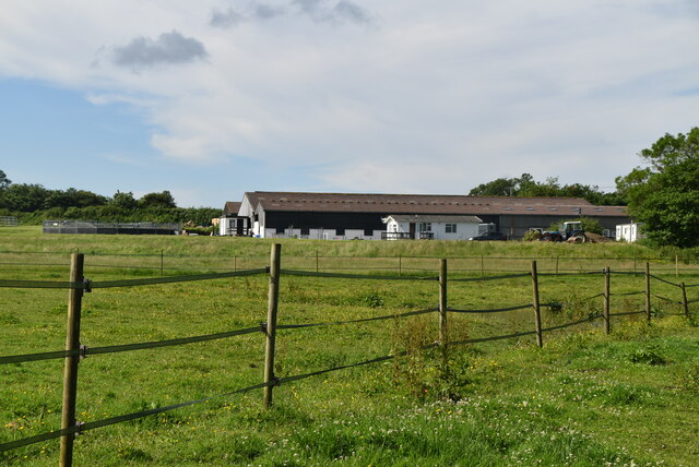
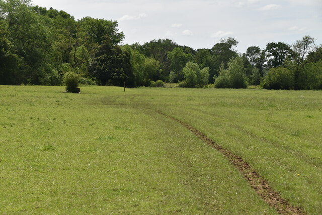
Alder Coppice offers a network of well-maintained trails, allowing visitors to explore the woodland and immerse themselves in nature. The peaceful ambiance and tranquil surroundings make it an ideal destination for nature lovers seeking respite from the hustle and bustle of urban life. Whether it's a leisurely stroll through the forest or an opportunity to observe the local wildlife, Alder Coppice promises an unforgettable experience for all who venture into its verdant embrace.

If you have any feedback on the listing, please let us know in the comments section below.

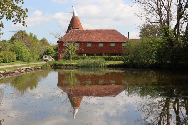
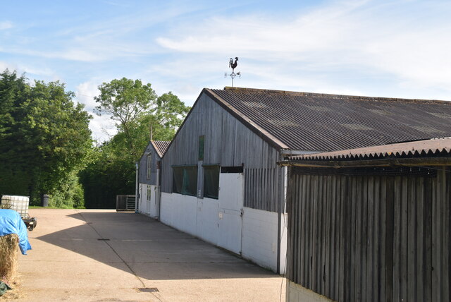
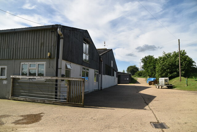
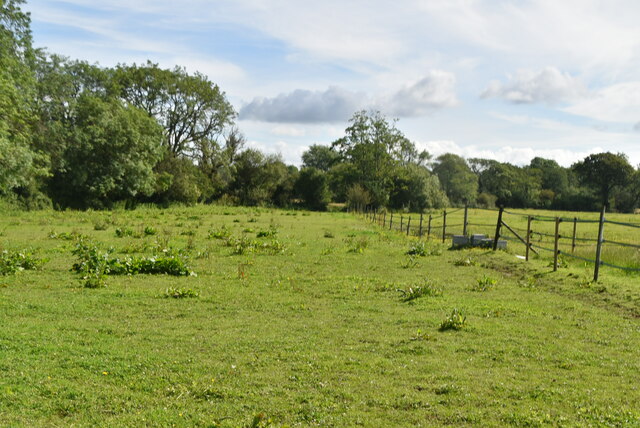
Alder Coppice Images

Images are sourced within 2km of 50.933307/0.044433375 or Grid Reference TQ4316. Thanks to Geograph Open Source API. All images are credited.

Oast House Single round kiln oast house.

Grade II listed.
Oast House
Single round kiln oast house. Grade II listed.
The Oast House Single square kiln oast house.
The Oast House
Single square kiln oast house.
Isfield Village Hall Isfield lies just off the main A26 Uckfield to Lewes main road, and is well hidden in the Ouse valley. The Romans established a staging post in the village, near a ford across the Ouse, this was on a section of Ermine Street which ran from Newhaven to London, passing through Lewes and Isfield and Maresfield. The village was recorded as Sifelle in the Domesday book.
More info at <span class="nowrap"><a title="http://www.villagenet.co.uk/ashdownforest/villages/isfield.php" rel="nofollow ugc noopener" href="http://www.villagenet.co.uk/ashdownforest/villages/isfield.php">Link</a><img style="margin-left:2px;" alt="External link" title="External link - shift click to open in new window" src="https://s1.geograph.org.uk/img/external.png" width="10" height="10"/></span>
Isfield Village Hall
Isfield lies just off the main A26 Uckfield to Lewes main road, and is well hidden in the Ouse valley. The Romans established a staging post in the village, near a ford across the Ouse, this was on a section of Ermine Street which ran from Newhaven to London, passing through Lewes and Isfield and Maresfield. The village was recorded as Sifelle in the Domesday book. More info at LinkExternal link
Station Rd Isfield lies just off the main A26 Uckfield to Lewes main road, and is well hidden in the Ouse valley. The Romans established a staging post in the village, near a ford across the Ouse, this was on a section of Ermine Street which ran from Newhaven to London, passing through Lewes and Isfield and Maresfield. The village was recorded as Sifelle in the Domesday book.
More info at <span class="nowrap"><a title="http://www.villagenet.co.uk/ashdownforest/villages/isfield.php" rel="nofollow ugc noopener" href="http://www.villagenet.co.uk/ashdownforest/villages/isfield.php">Link</a><img style="margin-left:2px;" alt="External link" title="External link - shift click to open in new window" src="https://s1.geograph.org.uk/img/external.png" width="10" height="10"/></span>
Station Rd
Isfield lies just off the main A26 Uckfield to Lewes main road, and is well hidden in the Ouse valley. The Romans established a staging post in the village, near a ford across the Ouse, this was on a section of Ermine Street which ran from Newhaven to London, passing through Lewes and Isfield and Maresfield. The village was recorded as Sifelle in the Domesday book. More info at LinkExternal link
Track in Isfield
Track in Isfield
Faulkners
Faulkners
Pasture
Pasture
Tile Barn Farmhouse
Tile Barn Farmhouse
Tile Barn Farm
Tile Barn Farm
Tile Barn Farm
Tile Barn Farm
A green lane
A green lane
Grassy footpath
Grassy footpath
A small pond
A small pond
Tile Barn Farm
Tile Barn Farm
Meadow
Meadow
Sussex Ouse Valley Way Opened in 2005, the Sussex Ouse Valley Way is a beautiful 42 mile journey that broadly follows the River Ouse from its source close to Lower Beeding in the High Weald to the sea at Seaford Bay. It is signed using a picture of the Ouse Valley Viaduct. Website: <span class="nowrap"><a title="http://www.sussexousevalleyway.co.uk/index.htm" rel="nofollow ugc noopener" href="http://www.sussexousevalleyway.co.uk/index.htm">Link</a><img style="margin-left:2px;" alt="External link" title="External link - shift click to open in new window" src="https://s1.geograph.org.uk/img/external.png" width="10" height="10"/></span>
Sussex Ouse Valley Way
Opened in 2005, the Sussex Ouse Valley Way is a beautiful 42 mile journey that broadly follows the River Ouse from its source close to Lower Beeding in the High Weald to the sea at Seaford Bay. It is signed using a picture of the Ouse Valley Viaduct. Website: LinkExternal link
River Ouse The Ouse rises at Lower Beeding and flows generally southwards to reach the English Channel at Newhaven, a distance of approximately 33 miles. The Sussex Ouse Valley Way follows its route from source to mouth. The River is one of four rivers to cut through the South Downs, an example of Superimposed drainage.
Wikipedia: <span class="nowrap"><a title="http://en.wikipedia.org/wiki/River_Ouse,_Sussex" rel="nofollow ugc noopener" href="http://en.wikipedia.org/wiki/River_Ouse,_Sussex">Link</a><img style="margin-left:2px;" alt="External link" title="External link - shift click to open in new window" src="https://s1.geograph.org.uk/img/external.png" width="10" height="10"/></span>
River Ouse
The Ouse rises at Lower Beeding and flows generally southwards to reach the English Channel at Newhaven, a distance of approximately 33 miles. The Sussex Ouse Valley Way follows its route from source to mouth. The River is one of four rivers to cut through the South Downs, an example of Superimposed drainage. Wikipedia: LinkExternal link
Show me another place!

Alder Coppice is located at Grid Ref: TQ4316 (Lat: 50.933307, Lng: 0.044433375)

Administrative County: East Sussex

District: Lewes

Police Authority: Sussex

What 3 Words

///vibe.confident.ideas. Near South Chailey, East Sussex

Nearby Locations

Alder Coppice Bushy Wood

Related Wikis

River Uck

The River Uck is a river in East Sussex, United Kingdom, which drains a catchment starting near Crowborough in the North, Hadlow Down to the East and Laughton...

Isfield

Isfield is a small village and civil parish in the Wealden District of East Sussex in England, located north-east of Lewes. == History == The village of...

Lavender Line

The Lavender Line is a heritage railway based at Isfield Station, near Uckfield in East Sussex, England. == History == The Lavender Line was originally...

Isfield railway station

Isfield is a preserved railway station on the closed section of the Wealden Line which served the East Sussex village of Isfield near Uckfield. Originally...

Barcombe Mills

Barcombe Mills is a small settlement and an area of countryside including a local nature reserve near the village of Barcombe Cross in East Sussex, England...

Barcombe Mills railway station

Barcombe Mills is a disused railway station in the hamlet of Barcombe Mills, on the closed section of the Wealden Line. The station was opened in 1858...

Barcombe

Barcombe is an East Sussex village and civil parish in the Lewes District of East Sussex. The parish has four settlements: old Barcombe (TQ 418 143), the...

Barcombe railway station

Barcombe was a railway station serving the village of Barcombe in East Sussex. It was part of the East Grinstead to Lewes line, part of which now makes...

Nearby Amenities

Located within 500m of 50.933307,0.044433375
Barrier: stile
Lat/Long: 50.9336062/0.0498448
Power: pole
Source: Bing
Lat/Long: 50.9294279/0.0420892
Power: pole
Source: Bing
Lat/Long: 50.9306222/0.0398858
The data included in this document is from www.openstreetmap.org. The data is made available under ODbL.

Have you been to Alder Coppice?

Leave your review of Alder Coppice below (or comments, questions and feedback).