Bushy Wood
Wood, Forest in Sussex Lewes
England
Bushy Wood
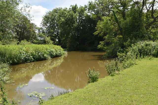
Bushy Wood is a picturesque woodland located in the county of Sussex, England. Stretching across an area of approximately 100 acres, it is nestled within the South Downs National Park, offering visitors a tranquil and immersive experience in nature. The wood is situated near the village of Henfield, about 12 miles northwest of the city of Brighton.
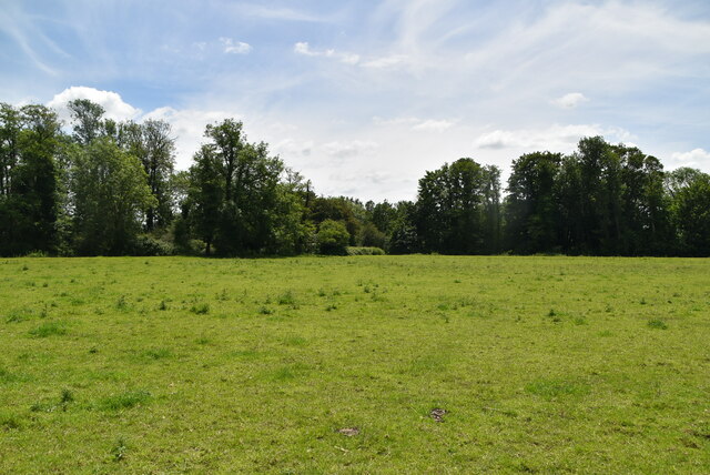
As its name suggests, Bushy Wood is characterized by its dense and varied vegetation, consisting primarily of beech, oak, and ash trees. The woodland floor is adorned with an array of native flora, including bluebells, primroses, and wood anemones, which create a vibrant and colorful carpet during the spring season. This rich biodiversity provides a habitat for numerous species of birds, mammals, and insects, making it a popular spot for wildlife enthusiasts and birdwatchers.
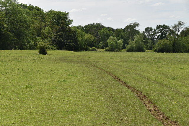
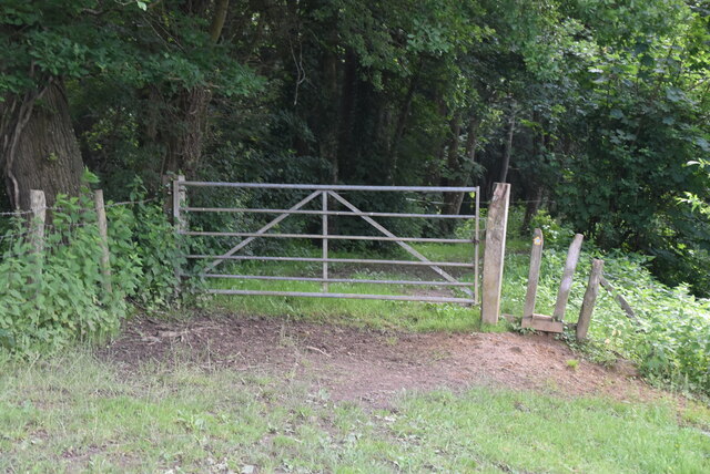
Bushy Wood offers several well-maintained footpaths and trails, allowing visitors to explore its tranquil beauty at their own pace. The wood is a haven for walkers, joggers, and dog owners, who can enjoy the peacefulness and serenity of the natural surroundings. Additionally, there are designated picnic areas, where families and friends can gather for a leisurely lunch amidst the beauty of the woodland.
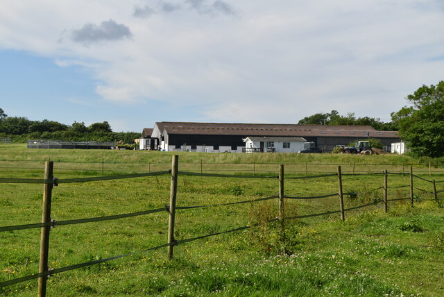
Managed by the local forestry commission, Bushy Wood is carefully preserved and protected, ensuring its long-term sustainability and conservation. It serves as a valuable recreational space for the local community and attracts visitors from far and wide who seek to escape the hustle and bustle of urban life and immerse themselves in the peacefulness of nature.
If you have any feedback on the listing, please let us know in the comments section below.
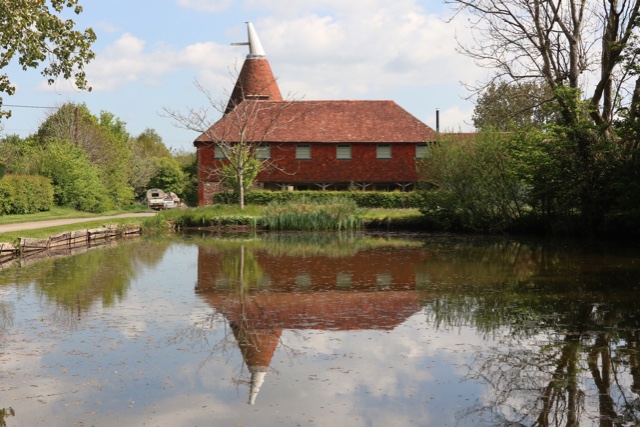
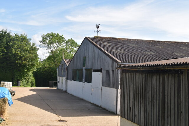
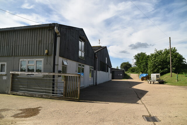
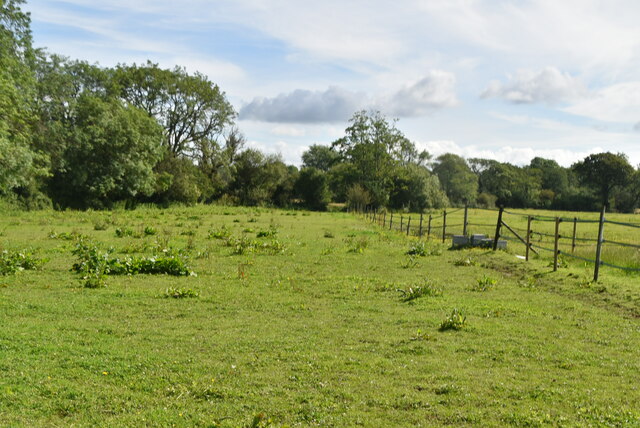
Bushy Wood Images
Images are sourced within 2km of 50.934132/0.040427554 or Grid Reference TQ4316. Thanks to Geograph Open Source API. All images are credited.


Bushy Wood is located at Grid Ref: TQ4316 (Lat: 50.934132, Lng: 0.040427554)
Administrative County: East Sussex
District: Lewes
Police Authority: Sussex
What 3 Words
///unfocused.bricks.seaweed. Near South Chailey, East Sussex
Nearby Locations
Related Wikis

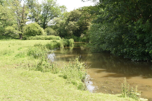
River Uck
The River Uck is a river in East Sussex, United Kingdom, which drains a catchment starting near Crowborough in the North, Hadlow Down to the East and Laughton...

Isfield
Isfield is a small village and civil parish in the Wealden District of East Sussex in England, located north-east of Lewes. == History == The village of...

Lavender Line
The Lavender Line is a heritage railway based at Isfield Station, near Uckfield in East Sussex, England. == History == The Lavender Line was originally...

Barcombe Mills
Barcombe Mills is a small settlement and an area of countryside including a local nature reserve near the village of Barcombe Cross in East Sussex, England...

Isfield railway station
Isfield is a preserved railway station on the closed section of the Wealden Line which served the East Sussex village of Isfield near Uckfield. Originally...

Barcombe
Barcombe is an East Sussex village and civil parish in the Lewes District of East Sussex. The parish has four settlements: old Barcombe (TQ 418 143), the...

Barcombe railway station
Barcombe was a railway station serving the village of Barcombe in East Sussex. It was part of the East Grinstead to Lewes line, part of which now makes...

Barcombe Mills railway station
Barcombe Mills is a disused railway station in the hamlet of Barcombe Mills, on the closed section of the Wealden Line. The station was opened in 1858...
Nearby Amenities
Located within 500m of 50.934132,0.040427554Have you been to Bushy Wood?
Leave your review of Bushy Wood below (or comments, questions and feedback).